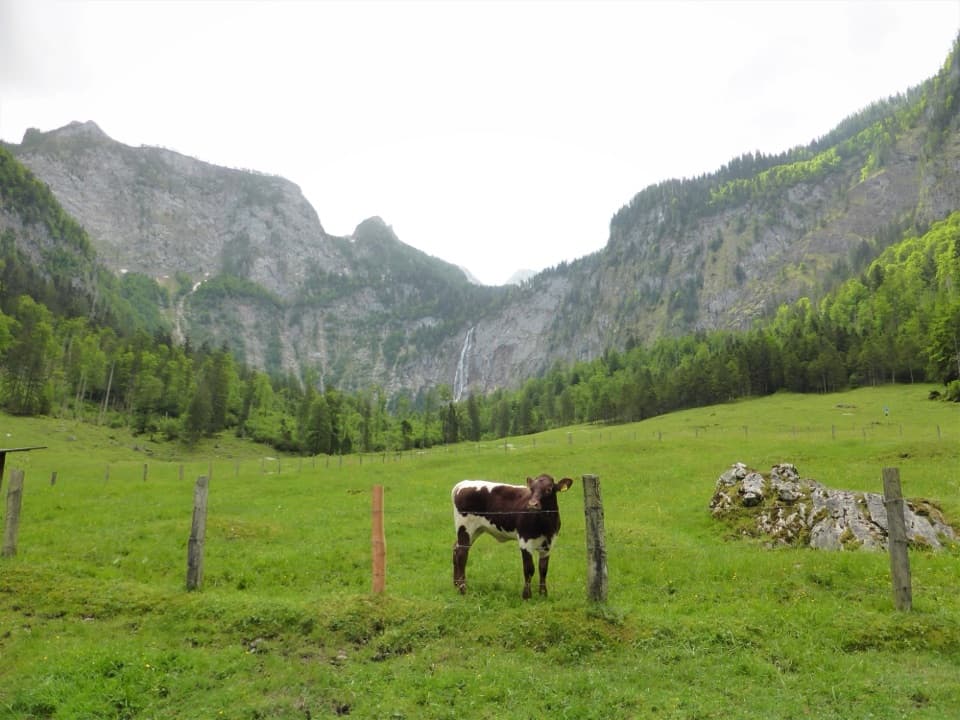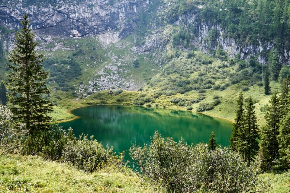
Sagereckersteig in Berchtesgaden National Park

Berchtesgaden National Park, BY

Sagereckersteig

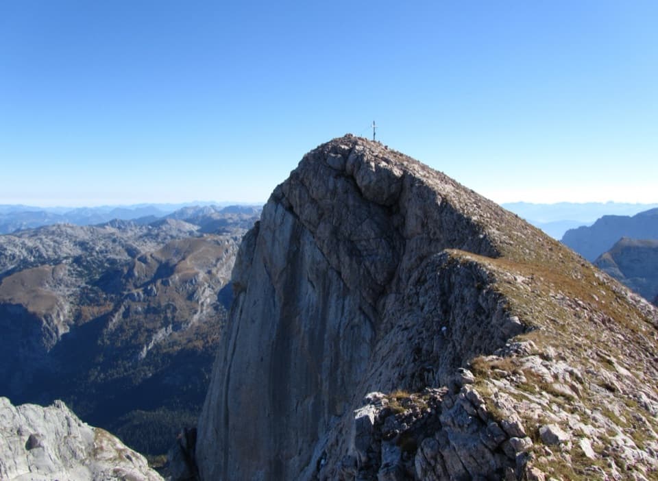
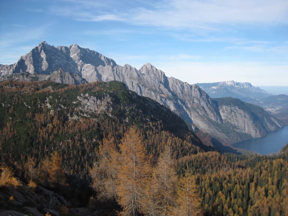
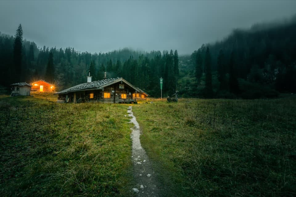
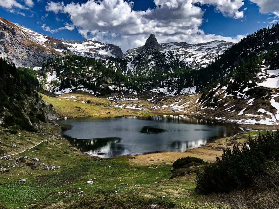
A steep alpine descent links Funtensee’s hut to the Königssee shore.

Photo: Wikimedia Commons
Length
7.4km
Time
4hr
Elev. change
1,143m
Difficulty
Challenging
  • Dogs allowed
  • High point 1,745 m
Parkwolf audio tour25 stories across Berchtesgaden’s roads

Overview

About Sagereckersteig

Why go

  • A direct high-mountain link between Funtensee and the Königssee shore
  • Grünsee and the former Sagereckalm give the long descent distinct waypoints

Heads up

  • Steep, sure-footed mountain walking with more than 1,100 m of descent
  • Point-to-point access requires a separate hut approach and boat planning

Map & elevation

The route

Loading the Berchtesgaden map
Full map
Elevation602–1,745 m
TrailheadKärlingerhaus am Funtensee47.49557, 12.93736
Keep this map with you offline in the Parkwolf app

Plan your hike

Before you go

Parking

There is no road access or parking at Kärlingerhaus. A classic valley approach is the Saugasse climb from St. Bartholomä, reached by boat from the Königssee lakeside car park. Salet also has no road access; plan the approach to the hut and the boat return from the Salet landing before leaving your car.


Safety

For experienced mountain hikers only. The Sagereckwand descent has steep switchbacks, timber and rock steps, and wire-rope aids; sure footing and comfort with heights are needed. The steps and rocks are uncomfortable when wet.

3 active Berchtesgaden alerts

  • ClosureKlausbachtal trails closed for bridge and flood-protection workAvoid the closed Klausbachtal trail sections; the Klausbach cannot be crossed at the affected bridges. - Trail No.Official details
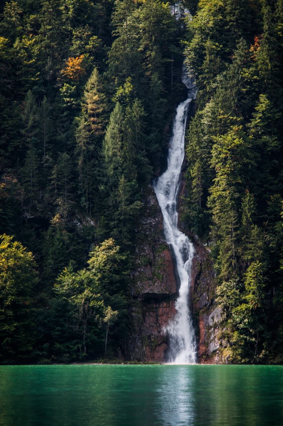
  • ClosureKönigsbach Waterfall Gumpen area closedDo not enter the area around the “Gumpen” pools at the Königsbach Waterfall on Königssee.Official details
See all 3 alerts
A park ranger sits on a dash-mounted phone, talking, as Parkwolf’s Tour Guide plays “Army Cutworm Moths: A Grizzly Bear Buffet” on Grand Loop Road below Dunraven Pass in Yellowstone
Parkwolf Tour GuideThe highest, rockiest slopes around here are a summer buffet for grizzly bears.

Berchtesgaden Tour Guide

Your drive to Sagereckersteig, narrated.

Parkwolf is a GPS audio tour guide for Berchtesgaden National Park. As you drive, it chimes in with what’s ahead: hidden gems, upcoming stops, history, geology, and wildlife, right through your car’s speakers.

  • 25 audio storiesacross Berchtesgaden’s roads, triggered by GPS as you drive
  • Wildlife heatmapsfor Bearded Vulture, Golden Eagle, Red Deer, and 13 more
  • Works offlinemaps, 71 trails, 57 places, and audio download before you lose signal
  • CarPlay readysimple controls built for the drive
★★★★★
“Fantastic app with many points of information… It’s great to just turn on while you’re driving and it gives you an audio tour of the national Park. We love it!!!!”
JMJamesApp Store review
Download Parkwolf on the App StoreGet Parkwolf on Google Play

4.7 from 8,600+ ratings

Trail guide

Hiking Sagereckersteig

A steep one-way mountain crossingSagereckersteig runs 7.4 km (4.

Sagereckersteig runs 7.4 km (4.6 miles) one way from Kärlingerhaus at Funtensee to the Salet boat landing at Königssee. Allow about four hours for the downhill direction. It gains about 98 m but drops 1,124 m, much of it on steep ground, so this is a hard route for experienced mountain walkers with sure footing. Think of it as one leg of a longer hut walk or circuit, not a roadside loop. The same corridor can be climbed from Salet; that direction involves more than 1,200 m of ascent and takes longer.

From the hut to the former alpine pastureFrom Kärlingerhaus the path curves around the eastern slopes of Glunkerer.

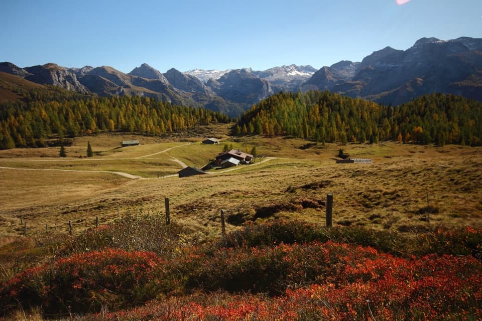
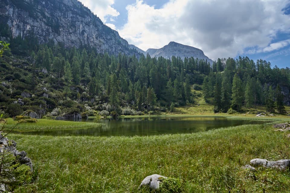
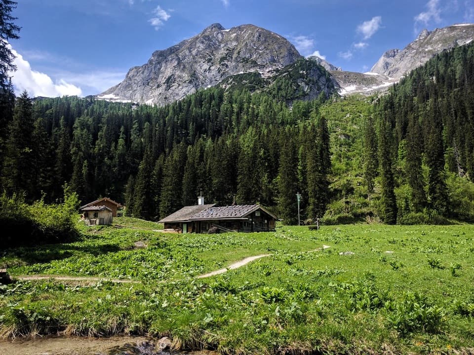
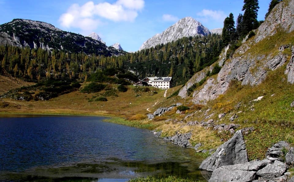
From Kärlingerhaus the path curves around the eastern slopes of Glunkerer. Keep to the main route at the left-hand branches as it descends toward Grünsee, then pass the lake on your left. At the next fork, take the left branch by the former Sagereckalm. The old alpine pasture is now meadow. There is still some uphill mixed into the route, despite its overall descent.

Down Sagereckwand to SaletPast the former alm, the path drops steeply through many zigzags on Sagereckwand.

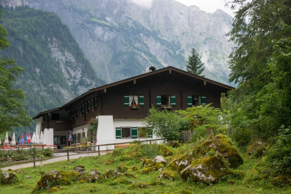
Past the former alm, the path drops steeply through many zigzags on Sagereckwand. The shaded forest section has timber steps, footholds and rock steps, with wire-rope aids at the steepest spots. This can feel awkward when wet; the route calls for steady feet and comfort with heights. Near the bottom, cross Saletbach and follow the east shore of Königssee past Saletalm to the boat landing.

Plan the two ends togetherKärlingerhaus has no road access.

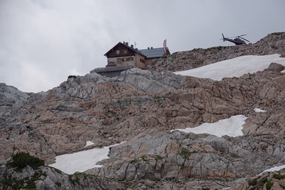
Kärlingerhaus has no road access. A classic approach from the valley is the long Saugasse climb from St. Bartholomä; reaching the hut is already a substantial hike. The route finishes at Salet, so arrange the Königssee boat connection and return to your car before you set out. Saletalm is a refreshment stop near the finish, and Kärlingerhaus is a staffed hut at the upper end. Dogs may accompany you on park trails but must stay leashed.

Wildlife

Wildlife in Berchtesgaden

All Berchtesgaden wildlife maps

Sighting maps show where each species has been reported across Berchtesgaden. Wildlife moves, so no sighting is guaranteed.

Keep exploring

Near Sagereckersteig

See it all on the map

Trails that start nearby

Places near the trailhead

Parkwolf’s Berchtesgaden ranking

Top-rated trails in Berchtesgaden

All 71 trails
  1. 1Kleine ReibnChallenging · 18.7 km
  2. 2Obersee – Fischunkelalm – RöthbachfallModerate · 8 km
  3. 3Malerwinkel-RundwegEasy · 3.4 km
  4. 4Wimbachklamm-RundwegModerate · 2.1 km
  5. 5Blaueishütte via SchärtenalmChallenging · 10.5 km
  6. 6Gotzenalm via Hochbahn TrailChallenging · 22.8 km

Take Parkwolf to Berchtesgaden.

The audio tour guide for the drive, plus offline maps, trails, and wildlife heatmaps for when the signal drops.

4.7 from 8,600+ ratings

Download Parkwolf on the App StoreGet Parkwolf on Google Play