Pros & cons
PROS
- Remote karst lake setting on the Steinernes Meer plateau
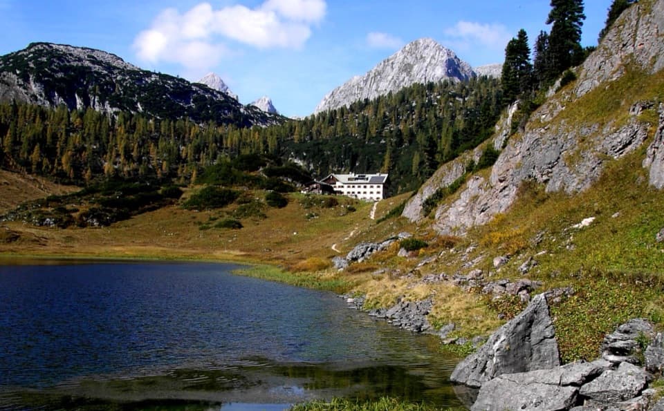
- Kärlingerhaus hut on the shore operates in summer (winter room otherwise)
CONS
- Reached only on foot via a long, steep approach
- No services outside hut season; no public restrooms or water
Overview
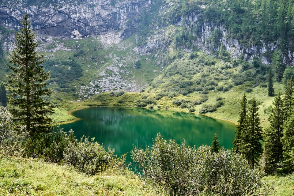
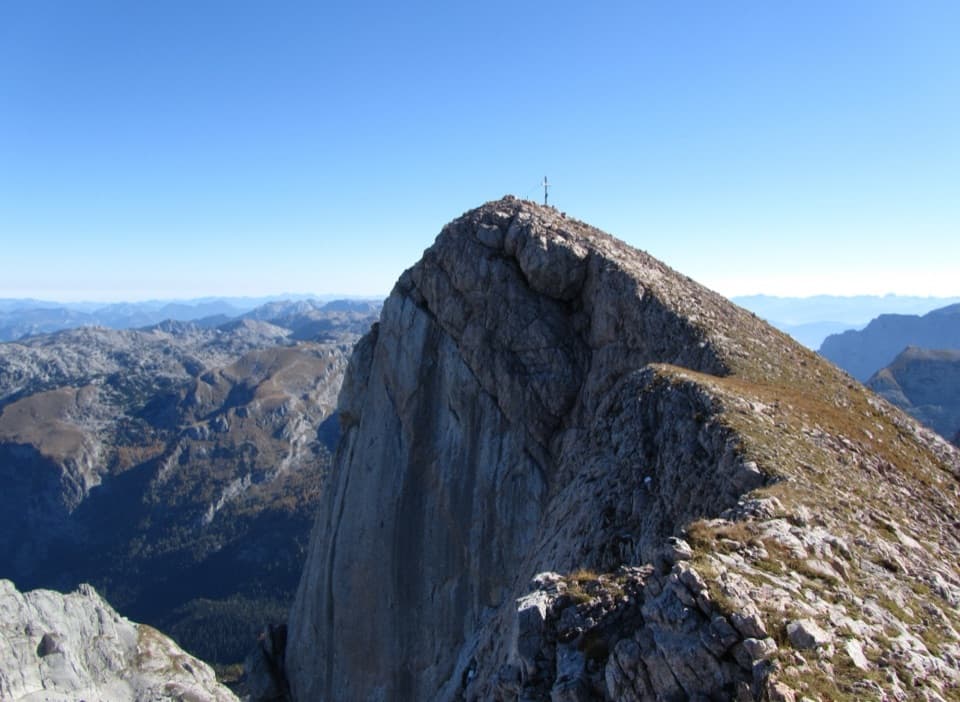
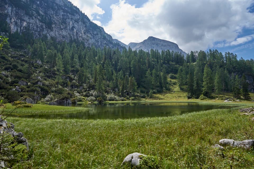
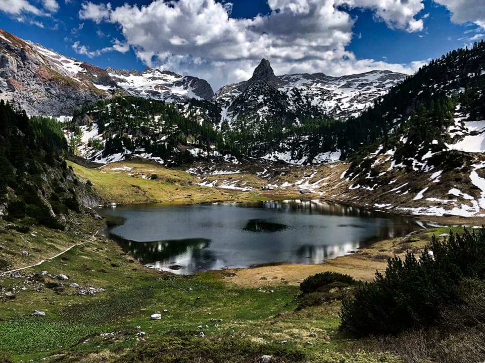
Funtensee is a small karst lake tucked into one of the Steinernes Meer’s sinkholes—classic limestone country where water vanishes underground. Its outflow disappears at the Teufelsmühle (Devil’s Mill), and the exact route of that water remains unknown. Peaks like Viehkogel, Glunkerer, Stuhljoch, and the Funtenseetauern ring the basin, giving the lake a wild, enclosed feel.
Extreme Microclimate
This basin is famous as Germany’s cold spot. A record low of −45.9°C (−50.6°F) was measured on December 24, 2001, thanks to cold air pooling in the depression. The chill shapes the shoreline forest too—a kind of “reverse tree line,” where trees struggle to grow below roughly 60 meters above the water.
Geology in Brief
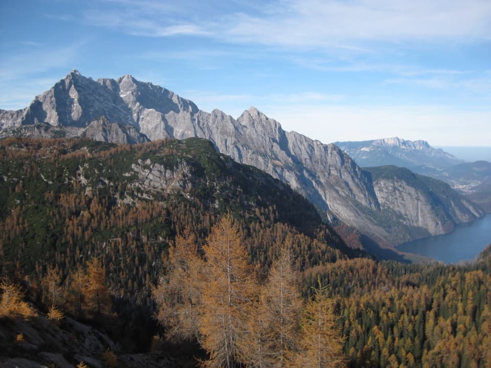
The Berchtesgaden Alps sit within the Northern Limestone Alps: brittle Ramsau dolomite beneath and more plastic Dachstein limestone forming the high plateaus. These rocks formed from ancient Tethys Ocean sediments around 200 million years ago, later uplifted and folded. Karst features dominate here, and Funtensee is a textbook example of how soluble rock funnels water underground.
Getting There
There’s no road. You hike—typically 3–4 hours for the quickest approach. The classic way is to take the boat to St. Bartholomä on Königssee and climb the Saugasse to the lake. Expect sustained elevation gain and true alpine terrain.
Services and What to Expect on Site
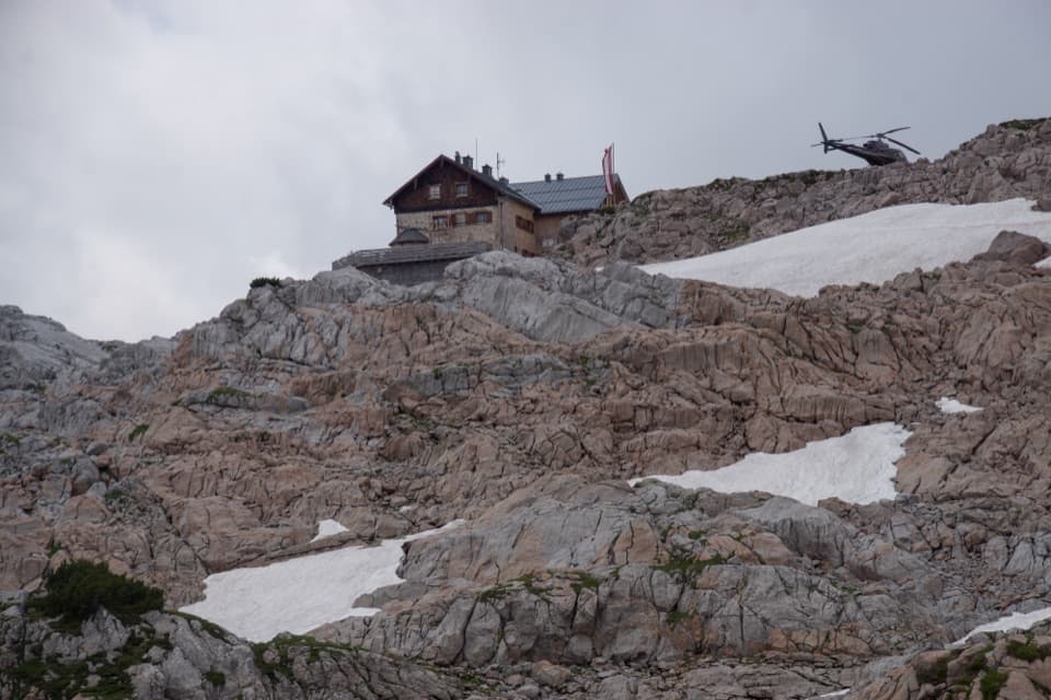
The DAV Kärlingerhaus sits on the shore and is staffed only in the summer season; a basic winter room is available outside that period. When the hut is closed, there are no toilets, taps, or other services at the lake. Pack out all trash and plan to treat any natural water if you must use it.
Park Rules Worth Knowing
To keep this fragile area wild: stay on marked paths, keep dogs leashed, don’t pick plants, don’t camp or bivouac, don’t light fires, avoid noise, and leave drones at home. Carry all waste out.
Weather and Seasonality
Expect big variability across short distances in this park, with high precipitation and long-lasting snow at higher elevations. Funtensee’s basin can be dramatically colder than surrounding areas even in fair weather—layers and a conservative plan are essential.
History Notes
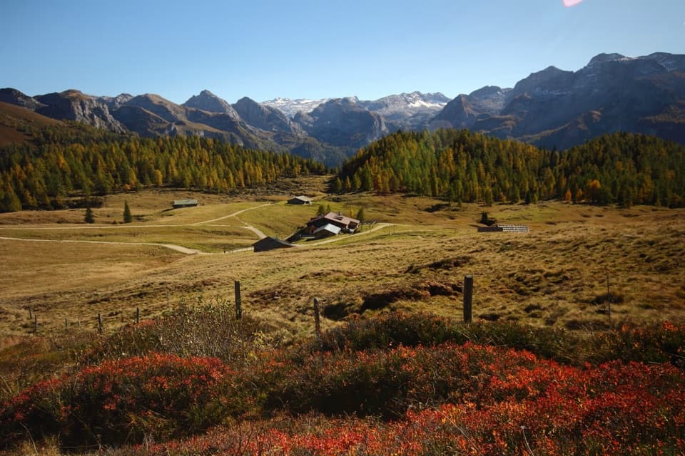
People have used the Funtensee area for grazing since at least the 17th century; several huts (Kaser) were active, and the Funtenseealm operated until 1964.
Best Time to Visit
Summer, when the Kärlingerhaus is staffed, offers the most practical window: longer daylight, some services at the hut, and more stable trail conditions. Shoulder seasons and winter are only for well-prepared, experienced hikers given the cold-air trap and limited services.
Where it is
47.4934, 12.9399Tips for Funtensee
- 01Fastest approach is by boat to St. Bartholomä, then up the Saugasse.
- 02Plan on a 3–4 hour hike one way; there is no road access.
- 03Outside the hut’s summer season there are no toilets or taps—pack out all waste.
- 04Temperatures can be far colder at the lake due to cold-air pooling—bring extra layers.
- 05Use the Kärlingerhaus facilities only when staffed; otherwise, there are no services.
Amenities
Near Funtensee
All places →All trails →
0.2 mi awayKärlingerhausRemote alpine hut by Funtensee with meals and occasional hot showersLodging · Food
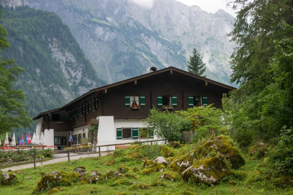
2.4 mi awayGaststätte SaletalmBoat-in alpine eatery with big views and simple, satisfying fareFood · Restaurant
2.7 mi awaySalet (Boat Landing)Gateway dock to Obersee and Röthbach Waterfall trailsTrailhead · Restroom
2.7 mi awayObersee Bootshaus AussichtspunktClassic Obersee boathouse with glassy reflections and steep wallsScenic Viewpoint
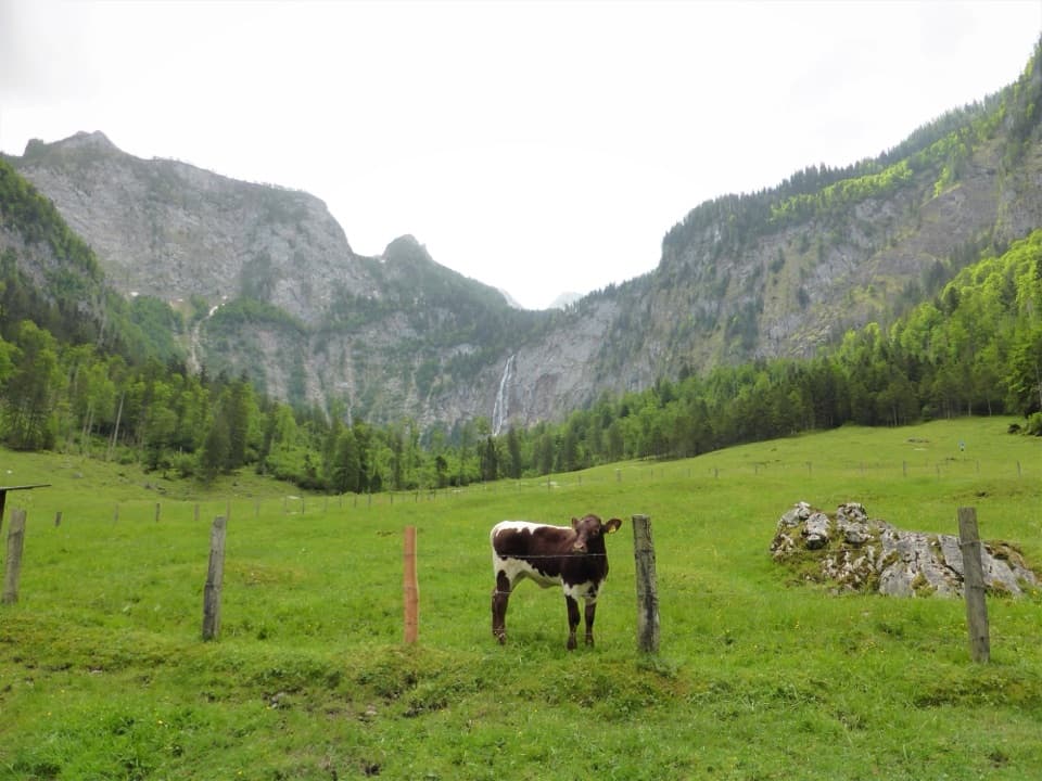
2.7 mi awayObersee – Fischunkelalm – RöthbachfallBoat-to-alpine-meadow stroll to Germany’s tallest waterfallEasy · 5 mi · 2.5 hr
3.9 mi awaySaugasse to Funtensee/KärlingerhausSteep switchbacks to a lakeside hut at Germany's coldest spotChallenging · 6.5 mi · 4.2 hr
3.9 mi awayRinnkendlsteigSteep, airy climb from Königssee to Kühroint with nonstop lake viewsChallenging · 6.8 mi · 5 hr
3.9 mi awaySt. Bartholomä – EiskapelleBoat-to-trail hike into the dramatic Watzmann east face.Moderate · 4.3 mi · 3 hr