Parking
Wanderparkplatz Hammerstiel is the route’s starting lot; parking is paid. Lot capacity and facilities were not established.

Berchtesgaden National Park, BY
A hard loop over Grünstein and Kühroint to Archenkanzel.
Overview
SalzAlpenTour Schönau is an 8.1-mile (13.1 km) loop from Wanderparkplatz Hammerstiel, up over Grünstein and Kührointalm, out to Archenkanzel, then back by a different line through Schapbachalm. The total includes the out-and-back spur to Archenkanzel. The official estimate is 740 m (2,428 ft) of ascent and five hours; allow five to six if you want time at the huts and viewpoints. It’s a hard mountain walk, with a steep forest climb and a long descent. I’d choose it for a full day of changing scenery and the Königssee panorama, not as a quick viewpoint walk.
 Parkwolf’s verdictIs this the hike for you?
Map & elevation
Plan your hike

The highest, rockiest slopes around here are a summer buffet for grizzly bears.
Berchtesgaden Tour Guide
Parkwolf is a GPS audio tour guide for Berchtesgaden National Park. As you drive, it chimes in with what’s ahead: hidden gems, upcoming stops, history, geology, and wildlife, right through your car’s speakers.
Recorded for this trailhead
Hammerstiel: Grünstein and a Hut Meal“Hammerstiel is coming up, the trailhead for a steep walk to Grünstein's views of Königssee and the Watzmann.”
Plays as you drive up to this trailhead in the Parkwolf Berchtesgaden Tour Guide.
More stories near here in the app
“Fantastic app with many points of information… It’s great to just turn on while you’re driving and it gives you an audio tour of the national Park. We love it!!!!”


Trail guide
From Hammerstiel, the route climbs a forest path and switchbacks to Grünsteinhaus. Here the first view of Königssee opens up, before the trail heads south along Weiße Wand. Take the early climb steadily; this is where most of the effort begins. The route is graded hard but has a low technical difficulty, so the challenge is sustained uphill walking and overall distance, not a technical scramble.
Past Weiße Wand, the path joins a gravel road to Kührointalm, below the Kleine Watzmann. The clearing feels like a reset after the steep climb: alpine meadow, huts, chapel and a mountain backdrop. A managed hut sits on the route, but service and opening are seasonal; check before relying on a meal.
From Kühroint, Archenkanzel is roughly 20 minutes away on a side path. The wooded lookout sits high over Königssee and St. Bartholomä; the Archenwand falls sharply toward the lake. This is the walk’s best payoff, and the route returns to Kühroint afterward. If the view is clear, include the curve of the lake and St. Bartholomä peninsula in your photo; the trees at the edge give you a natural foreground and show how high the lookout is.
The descent heads west from Kühroint on a narrow forest trail to a broad forest road. Follow it toward Schapbachalm and alongside a short stretch of Schapbach stream, then turn right onto a trail through lighter forest to return to Hammerstiel. The finish isn’t a repeat of the ascent, though your legs still have a long way downhill after the main climb.
Start at the paid Wanderparkplatz Hammerstiel. Grünsteinhütte and Kühroint-Hütte are both on the route, but their seasonal openings change; check before counting on food. Toilets and drinking water aren’t established at the parking area, so carry enough water for the full walk. Dog access for this exact loop couldn’t be confirmed; check park rules before bringing a pet.
SalzAlpenTour is part of a broader route network themed around the region’s salt history. On this loop, the alpine route is the story: first the lake view from Grünstein, then the full drop to the water from Archenkanzel, then pasture and forest on the return. The changing angles are why I’d do the whole circuit, even though the climb to Grünstein is the hardest part.
Wildlife
 14 sightingsBearded VultureMost seen around noonSighting map
 29 sightingsGolden EagleMost seen around noonSighting map
 22 sightingsRed DeerMost seen around 6 PMSighting map
 131 sightingsAlpine ChamoisMost seen around 5 PMSighting map
 65 sightingsAlpine SalamanderMost seen around 11 AMSighting map
 63 sightingsAlpine MarmotMost seen around 9 AMSighting map
Sighting maps show where each species has been reported across Berchtesgaden. Wildlife moves, so no sighting is guaranteed.
Keep exploring
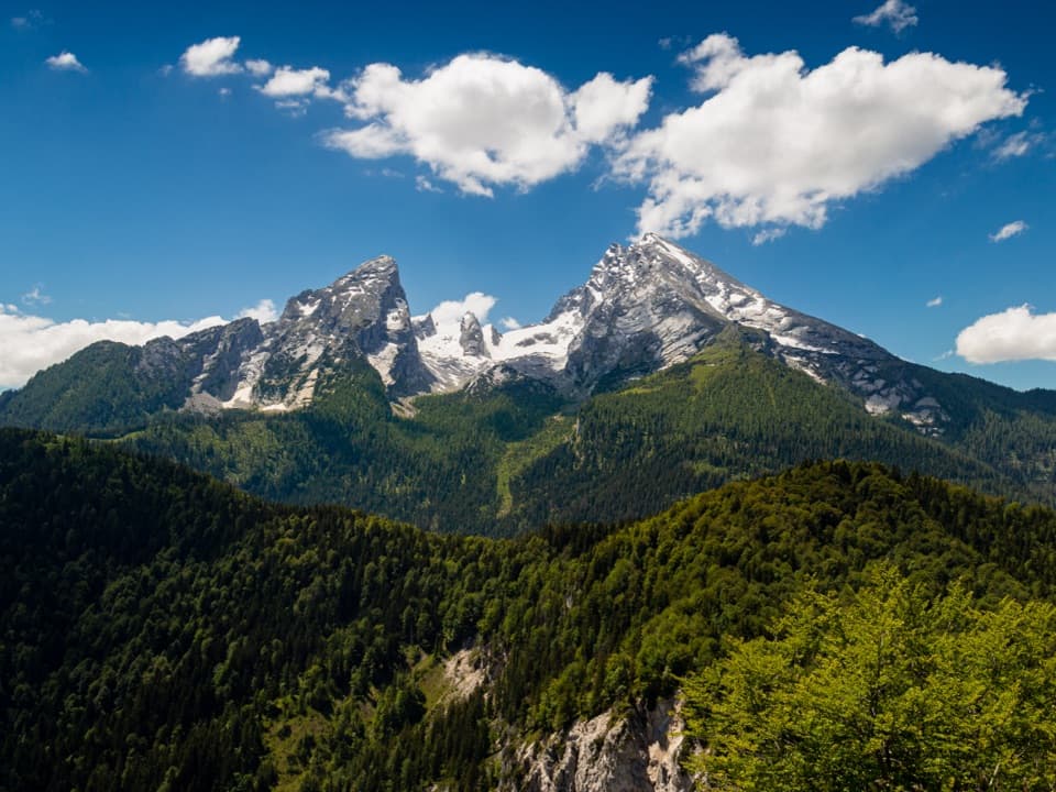 ModerateGrünstein Summit Trail from Hammerstiel5 km · 2.5 hr · 0.1 km awayA steep forest climb opens onto Watzmann and Königssee.
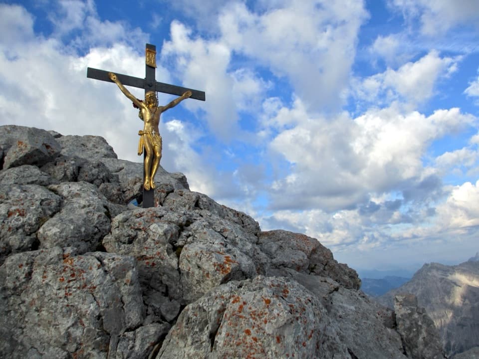 ChallengingWatzmann Hocheck via Watzmannhaus18 km · 13 hr · 1.7 km awayA full-day alpine climb to Hocheck, with a cable-secured rock step.
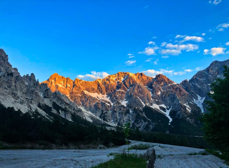 ModerateWimbachgrieshütte Trail17 km · 5.5 hr · 1.8 km awayFollow the dolomite scree to a high alpine hut
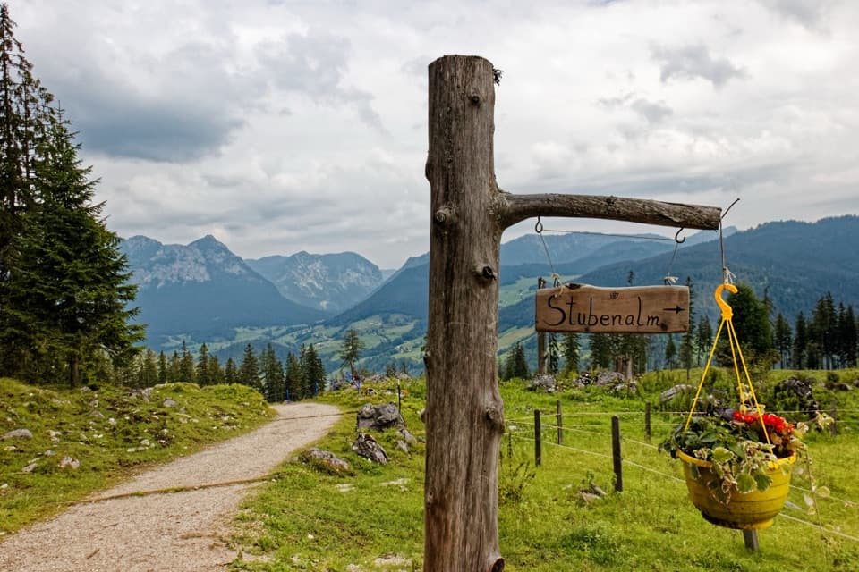 ModerateStubenalm6 km · 4 hr · 1.8 km awayA forest climb to a working alpine pasture above Ramsau.
 ModerateWimbachklamm-Rundweg2.1 km · 1 hr · 1.8 km awayA short gorge loop with a one-way waterfall walk and steep return.
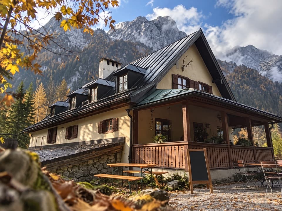 ModerateWimbachschloss Trail8.6 km · 3 hr · 1.8 km awayA steady valley walk to a historic lodge beneath the Watzmann.
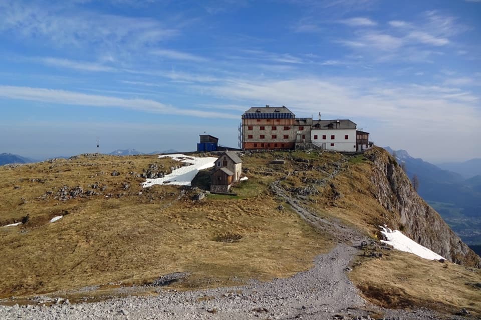 ChallengingWatzmannhaus from Wimbachbrücke13.9 km · 8 hr · 1.8 km awayA steep 1,270-meter climb to the hut beneath the Watzmann.
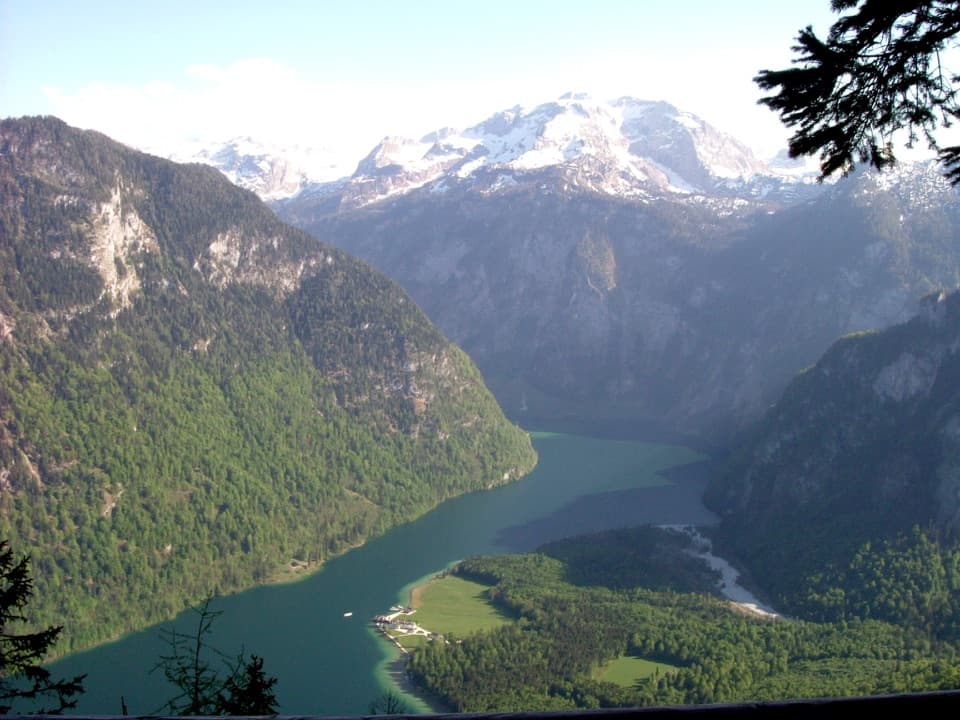 ChallengingKühroint – Archenkanzel Trail15.3 km · 5.5 hr · 1.8 km awayA steep climb to Kühroint and a huge Königssee view.
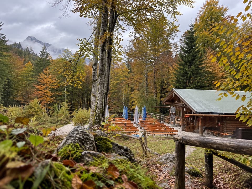 Restaurant · 1.5 km awayGrünsteinhütteA terrace stop for Kaiserschmarrn below Grünstein's summit.
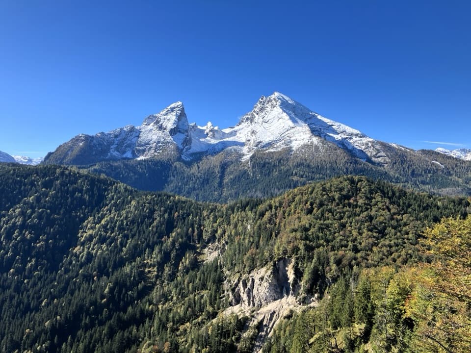 Sight · 1.6 km awayGrünstein Summit ViewpointA steep climb for Watzmann, Königssee and a hut stop below.
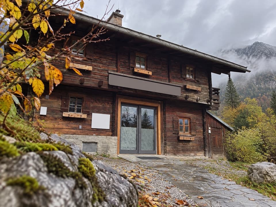 Visitor center · 1.8 km awayWimbachbrücke National Park Information PointA free geology exhibit at the start of Wimbachtal hikes.
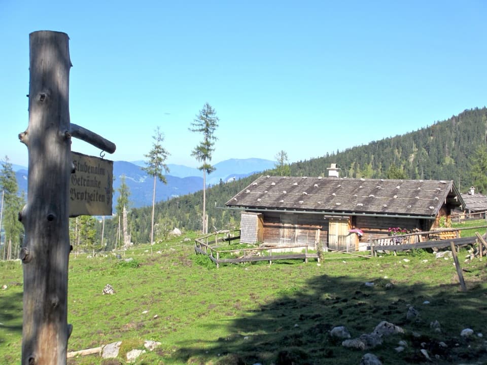 Food · 1.9 km awayStubenalmBrotzeit and Ramsau views reward the climb to this hut
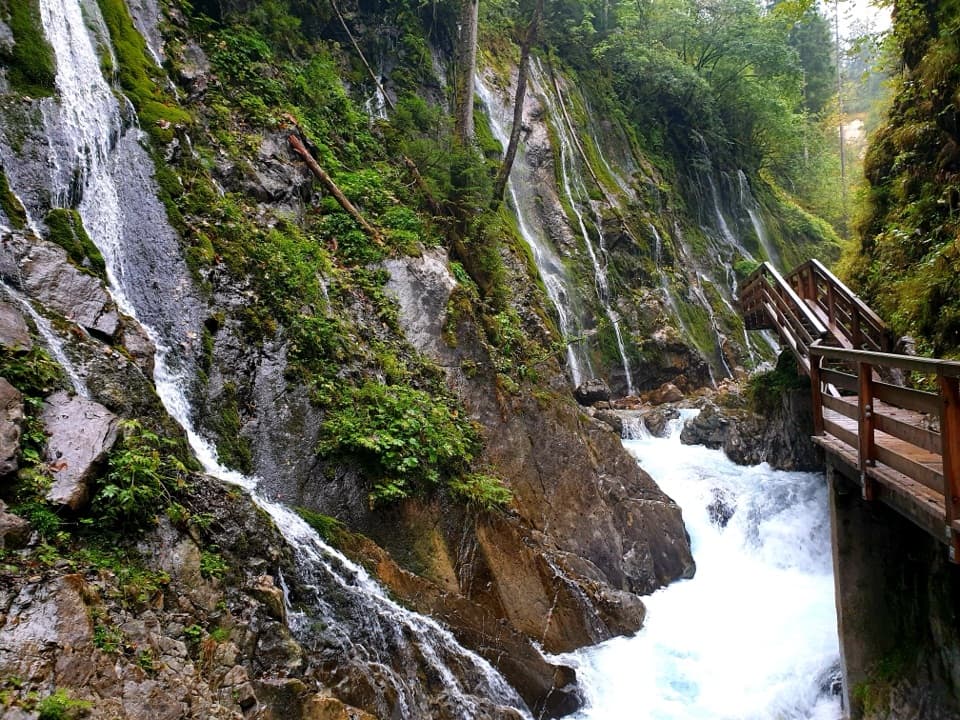 Sight · 2.1 km awayWimbachklammA short, ticketed boardwalk beside waterfalls and mossy rock.
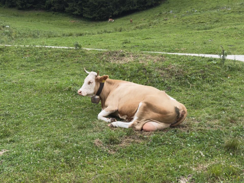 Food · 2.2 km awaySchapbachalmHouse-made alpine cheese with the Watzmann close overhead.
 Food · 2.8 km awayMitterkaseralm am WatzmannA mountain-hut break on the climb to Watzmannhaus.
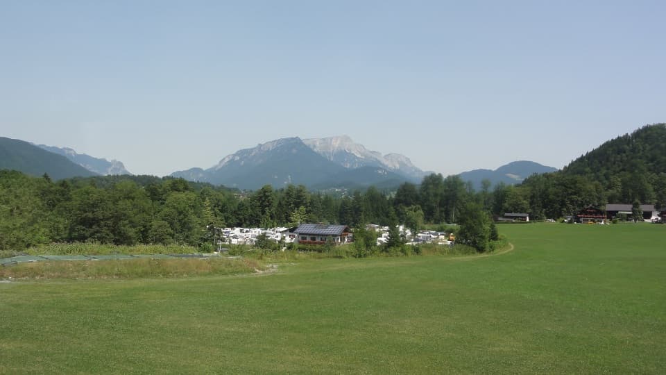 Campground · 3 km awayCamping GrafenlehenA walkable Königssee base with views of the Watzmann.
Parkwolf’s Berchtesgaden ranking
The audio tour guide for the drive, plus offline maps, trails, and wildlife heatmaps for when the signal drops.




