Parking
Wimbachbrücke parking is listed at Wimbachweg 1 beside a WC building; RVO bus 846 serves the stop. Parking fees and capacity were not found.
Berchtesgaden National Park, BY
A forest climb to a working alpine pasture above Ramsau.
Overview
Map & elevation
Plan your hike

The highest, rockiest slopes around here are a summer buffet for grizzly bears.
Berchtesgaden Tour Guide
Parkwolf is a GPS audio tour guide for Berchtesgaden National Park. As you drive, it chimes in with what’s ahead: hidden gems, upcoming stops, history, geology, and wildlife, right through your car’s speakers.
Recorded for this area
Wimbachbrücke and the Waterfall Gorge“Wimbachbrücke is coming up, the starting point for Wimbachklamm's waterfall gorge. Allow about an hour for the outing, including the uphill approach and return.”
Plays on the road 0.1 km from the trailhead in the Parkwolf Berchtesgaden Tour Guide.
More stories near here in the app
“Fantastic app with many points of information… It’s great to just turn on while you’re driving and it gives you an audio tour of the national Park. We love it!!!!”


Trail guide
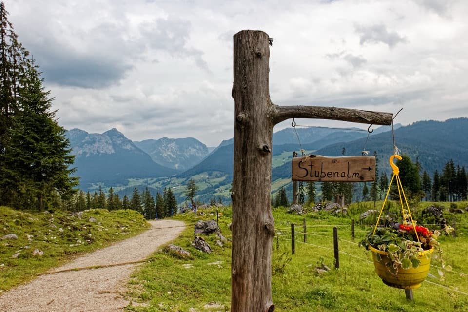
Stubenalm is the first alpine pasture on the Wimbachbrücke approach toward Watzmannhaus. Follow the Watzmannhaus signs across the bridge, climb through mountain forest, then turn around at the alm. The mapped walk is about 3.7 miles round trip on the same corridor. The local estimate is around two hours to the alm, so allow about four hours for the return and a stop. It suits hikers after a steep half-day climb.
The forest gives way to an open pasture with views back toward Ramsau, Reiter Alm and Hochschwarzeck. Stubenalm has two working farm huts, called Kaser, plus a service hut, so it feels like an active alpine pasture rather than a viewpoint built for hikers. In summer, the serving huts offer snacks, homemade cheese and drinks.
The Watzmannhaus route continues beyond Stubenalm to Mitterkaseralm and then Falzalm, with much more climbing. This shorter outing ends at Stubenalm; return the same way you came. The separate Stubenalm-Runde follows a loop over Hammerstiel, so its distance and route do not apply here.
Wildlife
 14 sightingsBearded VultureMost seen around noonSighting map
 29 sightingsGolden EagleMost seen around noonSighting map
 22 sightingsRed DeerMost seen around 6 PMSighting map
 131 sightingsAlpine ChamoisMost seen around 5 PMSighting map
 65 sightingsAlpine SalamanderMost seen around 11 AMSighting map
 63 sightingsAlpine MarmotMost seen around 9 AMSighting map
Sighting maps show where each species has been reported across Berchtesgaden. Wildlife moves, so no sighting is guaranteed.
Keep exploring
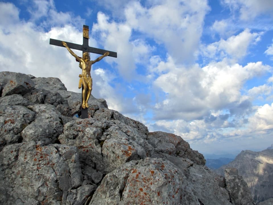 ChallengingWatzmann Hocheck via Watzmannhaus18 km · 13 hr · At the trailheadA full-day alpine climb to Hocheck, with a cable-secured rock step.
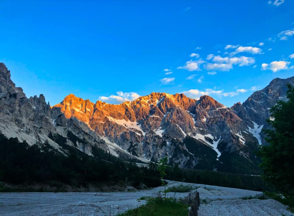 ModerateWimbachgrieshütte Trail17 km · 5.5 hr · At the trailheadFollow the dolomite scree to a high alpine hut
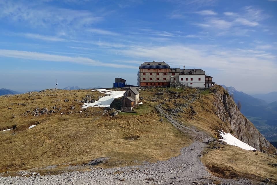 ChallengingWatzmannhaus from Wimbachbrücke13.9 km · 8 hr · At the trailheadA steep 1,270-meter climb to the hut beneath the Watzmann.
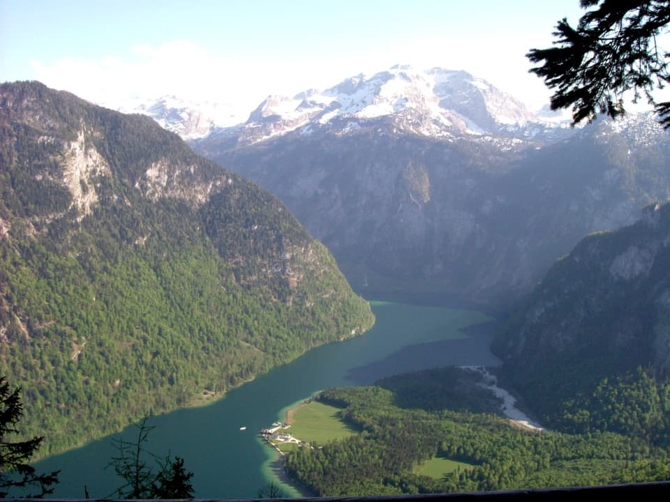 ChallengingKühroint – Archenkanzel Trail15.3 km · 5.5 hr · At the trailheadA steep climb to Kühroint and a huge Königssee view.
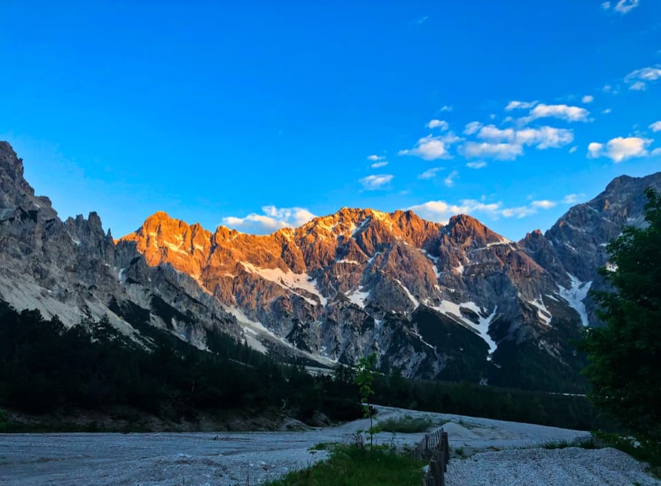 ChallengingRund um den Watzmann via Trischübel19.9 km · 10 hr · At the trailheadA 20 km crossing from a scree valley to Königssee.ChallengingMitterkaseralm am Watzmann via Stubenalm9.3 km · 4.5 hr · At the trailheadA steep forest climb to a pasture beneath Watzmannhaus.
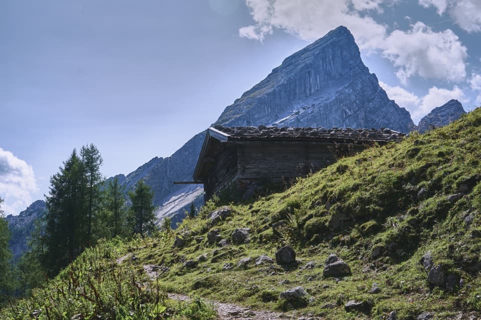 ChallengingFalzalm from Wimbachbrücke11.4 km · 6.5 hr · At the trailheadA steep climb to a hut framed by the Watzmann-Frau.
 ModerateWimbachklamm-Rundweg2.1 km · 1 hr · At the trailheadA short gorge loop with a one-way waterfall walk and steep return.
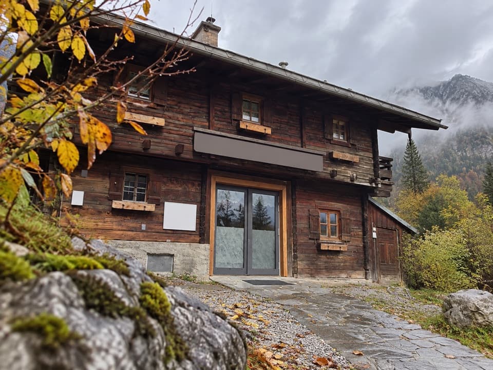 Visitor center · At the trailheadWimbachbrücke National Park Information PointA free geology exhibit at the start of Wimbachtal hikes.
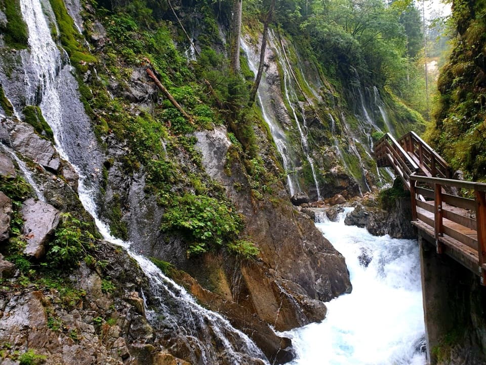 Sight · 0.6 km awayWimbachklammA short, ticketed boardwalk beside waterfalls and mossy rock.
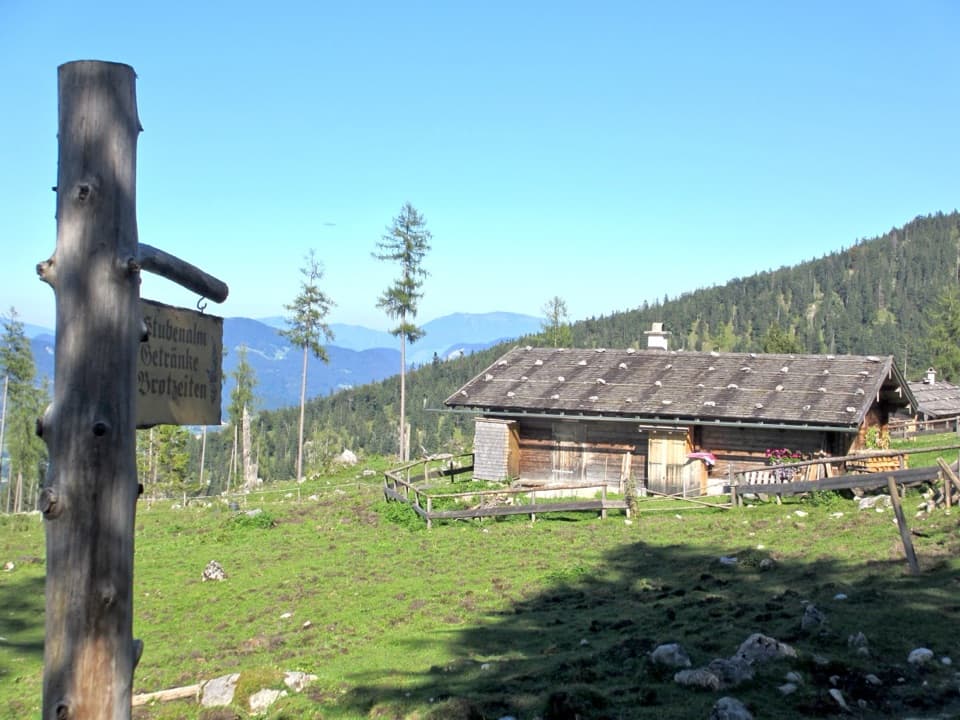 Food · 1.6 km awayStubenalmBrotzeit and Ramsau views reward the climb to this hut
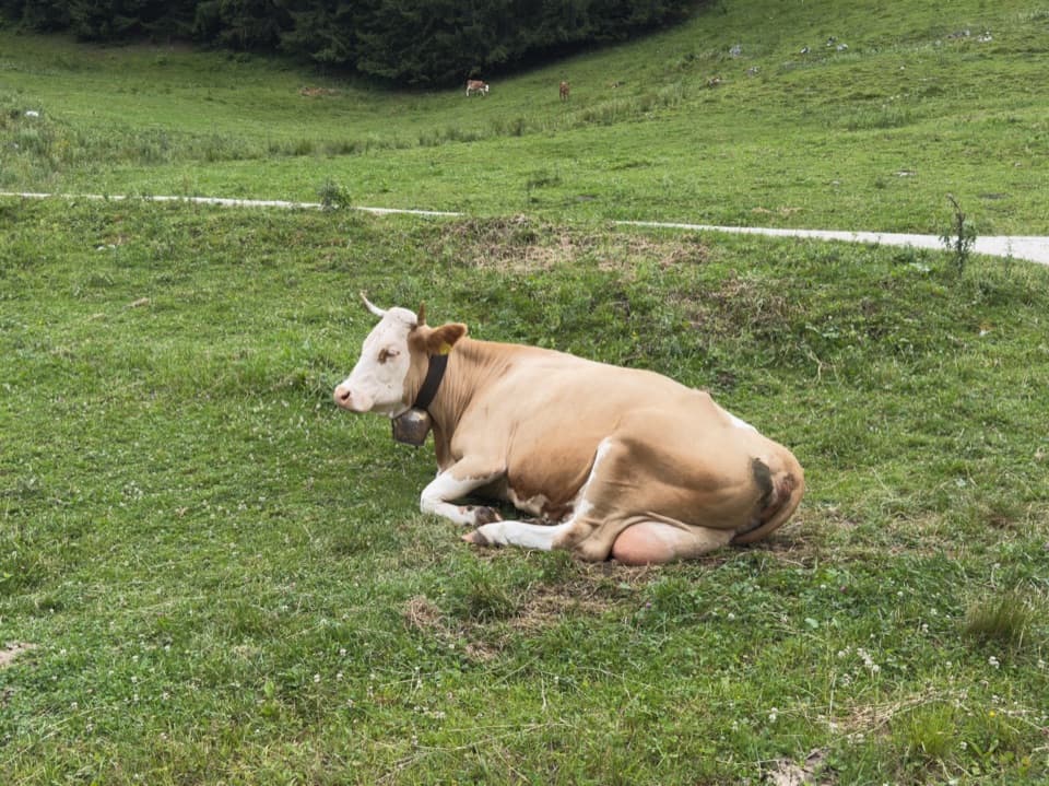 Food · 3 km awaySchapbachalmHouse-made alpine cheese with the Watzmann close overhead.
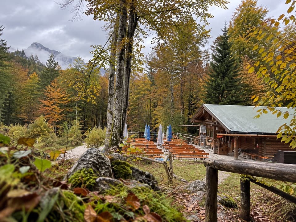 Restaurant · 3 km awayGrünsteinhütteA terrace stop for Kaiserschmarrn below Grünstein's summit.
 Food · 3 km awayMitterkaseralm am WatzmannA mountain-hut break on the climb to Watzmannhaus.
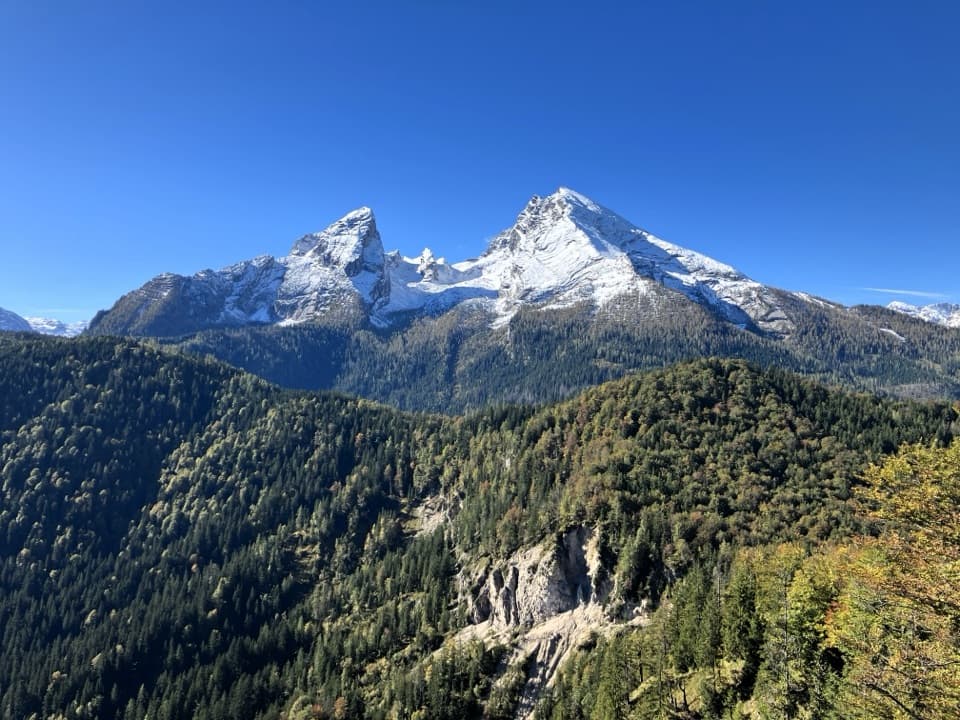 Sight · 3.2 km awayGrünstein Summit ViewpointA steep climb for Watzmann, Königssee and a hut stop below.Lodging · 3.5 km awayWatzmannhausA long climb to a classic Watzmann hut and overnight base.
Parkwolf’s Berchtesgaden ranking

The audio tour guide for the drive, plus offline maps, trails, and wildlife heatmaps for when the signal drops.




