Böslsteig to Neue Traunsteiner Hütte in Berchtesgaden National Park

Berchtesgaden National Park, BY

Böslsteig to Neue Traunsteiner Hütte

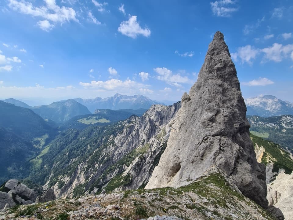
Cable-secured steps lead to a hut on the karst plateau.

Photo: Wikimedia Commons
Length
9.1km
Time
6hr
Elev. change
1,251m
Difficulty
Challenging
  • High point 2,053 m

Hear the audio tour

Klausbachhaus and Golden Eagle Country

Overview

About Böslsteig to Neue Traunsteiner Hütte

Why go

  • Climbs from Hintersee to the open Reiteralpe plateau and a staffed mountain hut.
  • The route crosses a striking mix of cable-secured rock, high ridge and alpine meadow.

Heads up

  • Exposed steps and poor-visibility route-finding demand sure feet and a head for heights.
  • One way only; return travel from the hut needs a separate plan.

Map & elevation

The route

Loading the Berchtesgaden map
Full map
Elevation802–2,053 m
TrailheadKlausbachhaus / Nationalpark-Informationsstelle Hintersee47.59850, 12.84227
Keep this map with you offline in the Parkwolf app

Plan your hike

Before you go

Parking

Start from the Hintersee parking area beside Klausbachhaus / Nationalpark-Informationsstelle Hintersee on Hirschbichlstraße. The route begins along the road before the marked path climbs toward Halsgrube. Several paid lots serve Hintersee; the exact lot, fee and capacity for this route were not verified.


Safety

Hard high-alpine terrain with steep, exposed, cable-secured rock steps; requires sure-footedness and a head for heights. Dry conditions are recommended. Poor visibility above Wagendrischlkar can make the ridge difficult to follow. No dependable water refill was verified before the hut.

3 active Berchtesgaden alerts

  • ClosureKlausbachtal trails closed for bridge and flood-protection workAvoid the closed Klausbachtal trail sections; the Klausbach cannot be crossed at the affected bridges. - Trail No.Official details
  • ClosureKönigsbach Waterfall Gumpen area closedDo not enter the area around the “Gumpen” pools at the Königsbach Waterfall on Königssee.Official details
See all 3 alerts
A park ranger sits on a dash-mounted phone, talking, as Parkwolf’s Tour Guide plays “Army Cutworm Moths: A Grizzly Bear Buffet” on Grand Loop Road below Dunraven Pass in Yellowstone
Parkwolf Tour GuideThe highest, rockiest slopes around here are a summer buffet for grizzly bears.

Berchtesgaden Tour Guide

Your drive to Böslsteig to Neue Traunsteiner Hütte, narrated.

Parkwolf is a GPS audio tour guide for Berchtesgaden National Park. As you drive, it chimes in with what’s ahead: hidden gems, upcoming stops, history, geology, and wildlife, right through your car’s speakers.

Recorded for this area

Klausbachhaus and Golden Eagle Country
0:00 / 0:37
“Klausbachhaus is ahead, a useful stop before choosing a walk into Klausbach Valley.”

Plays on the road 0.2 km from the trailhead in the Parkwolf Berchtesgaden Tour Guide.

More stories near here in the app

  • White Fur, Black Ear Tips
  • Hintersee and the Boulder Forest
  • Seeklause: The Climb to Blaueishütte
  • Measuring the Watzmann
  • 25 audio storiesacross Berchtesgaden’s roads, triggered by GPS as you drive
  • Wildlife heatmapsfor Bearded Vulture, Golden Eagle, Red Deer, and 13 more
  • Works offlinemaps, 71 trails, 57 places, and audio download before you lose signal
  • CarPlay readysimple controls built for the drive
★★★★★
“Fantastic app with many points of information… It’s great to just turn on while you’re driving and it gives you an audio tour of the national Park. We love it!!!!”
JMJamesApp Store review
Download Parkwolf on the App StoreGet Parkwolf on Google Play

4.7 from 8,600+ ratings

Trail guide

Hiking Böslsteig to Neue Traunsteiner Hütte

The one-way hut approachBöslsteig is a hard, high-alpine approach from Hintersee to Neue Traunsteiner Hütte: about 9.

Böslsteig is a hard, high-alpine approach from Hintersee to Neue Traunsteiner Hütte: about 9.1 km one way, with 1,300 m of climbing and 510 m of descent. Give it around six hours to reach the hut. The line crosses steep rock, a high ridge and open limestone plateau before dropping to the hut meadows. It is an approach, not a loop; if your car is at Hintersee, plan an overnight stay or a separate way down before you start.

From Hintersee to HalsgrubeStart beside Klausbachhaus and follow the road until the red-marked path turns uphill toward…

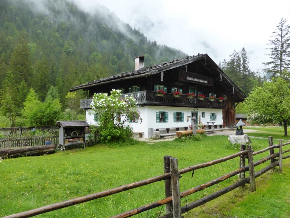
Start beside Klausbachhaus and follow the road until the red-marked path turns uphill toward Halsgrube. The climb brings you into a small bowl enclosed by steep rock walls. This is already a sustained ascent, not a gentle lead-in to the difficult section above.

The cable-secured stepsAbove Halsgrube, the Böslsteig cuts across a rock face on steep, uneven steps, with cables and…

Above Halsgrube, the Böslsteig cuts across a rock face on steep, uneven steps, with cables and carved footholds on the harder parts. The route takes roughly two hours from Halsgrube to Wagendrischlkar. You need sure feet and a head for heights. Choose a dry-weather day; the exposed rock steps are a poor place to discover that the holds are wet. There is no confirmed food stop or dependable water refill on this climb, so carry what you need from below.

Across the high plateauBeyond Wagendrischlkar, rough scree gives way to a low grassy ridge.

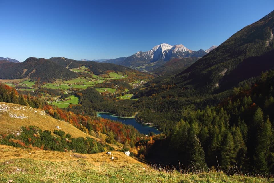
Beyond Wagendrischlkar, rough scree gives way to a low grassy ridge. The climb continues for about an hour and a half to the Reiter Steinberge, around 2,051 m. In clear weather the higher ground opens toward Hochkalter and Watzmann. Poor visibility can make the ridge hard to follow, so bring a map and know the line before cloud rolls in. The broad Reiteralpe plateau is karst country, about 24 km², with dwarf pine, Swiss stone pine and open alpine meadows; its centuries-old stone pines form Germany’s largest continuous stand.

Down to ReitertrettFrom the high point, descend the far side through Steinberggasse to the meadows of Reitertrett.

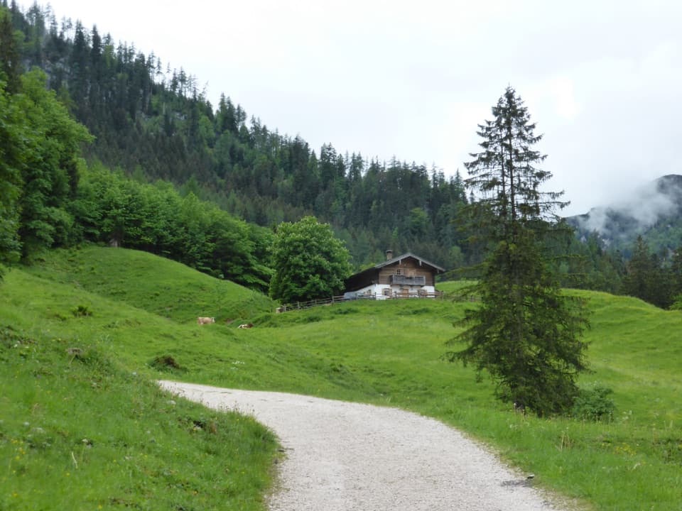
From the high point, descend the far side through Steinberggasse to the meadows of Reitertrett. You pass the older Alte Traunsteiner Hütte at about 1,579 m, then follow nearly level pasture to Neue Traunsteiner Hütte at 1,560 m. That final open crossing is a gentler finish, but you have already spent hours on steep, rocky ground.

Make the hut planNeue Traunsteiner Hütte has seasonal overnight accommodation and dining rooms.

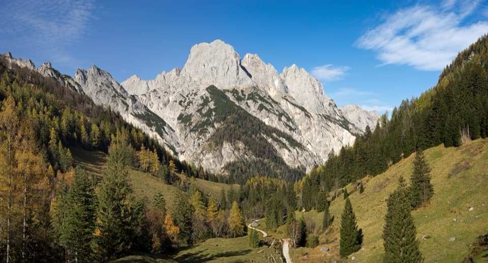
Neue Traunsteiner Hütte has seasonal overnight accommodation and dining rooms. Dinner, with meat or meat-free options, and breakfast are described for overnight guests; don’t count on an unconfirmed meal stop for a day hike. The hut relies on spring water that can run low in dry weather, so carry drinking water from Hintersee and check the hut’s current season before planning a night there. From the hut, the pale Häuselhörner rise above darker slopes: include some of the rocky plateau in the foreground to show the terrain you crossed.

Wildlife

Wildlife in Berchtesgaden

All Berchtesgaden wildlife maps

Sighting maps show where each species has been reported across Berchtesgaden. Wildlife moves, so no sighting is guaranteed.

Keep exploring

Near Böslsteig to Neue Traunsteiner Hütte

See it all on the map

Trails that start nearby

Places near the trailhead

Parkwolf’s Berchtesgaden ranking

Top-rated trails in Berchtesgaden

All 71 trails
  1. 1Kleine ReibnChallenging · 18.7 km
  2. 2Obersee – Fischunkelalm – RöthbachfallModerate · 8 km
  3. 3Malerwinkel-RundwegEasy · 3.4 km
  4. 4Wimbachklamm-RundwegModerate · 2.1 km
  5. 5Blaueishütte via SchärtenalmChallenging · 10.5 km
  6. 6Gotzenalm via Hochbahn TrailChallenging · 22.8 km

Take Parkwolf to Berchtesgaden.

The audio tour guide for the drive, plus offline maps, trails, and wildlife heatmaps for when the signal drops.

4.7 from 8,600+ ratings

Download Parkwolf on the App StoreGet Parkwolf on Google Play