Parking
Start at Parkplatz Königssee, beside the Jennerbahn valley station. This is a point-to-point hike and ends at the Kessel landing, not back at the lot; arrange the boat transfer to Königssee Seelände before setting out.
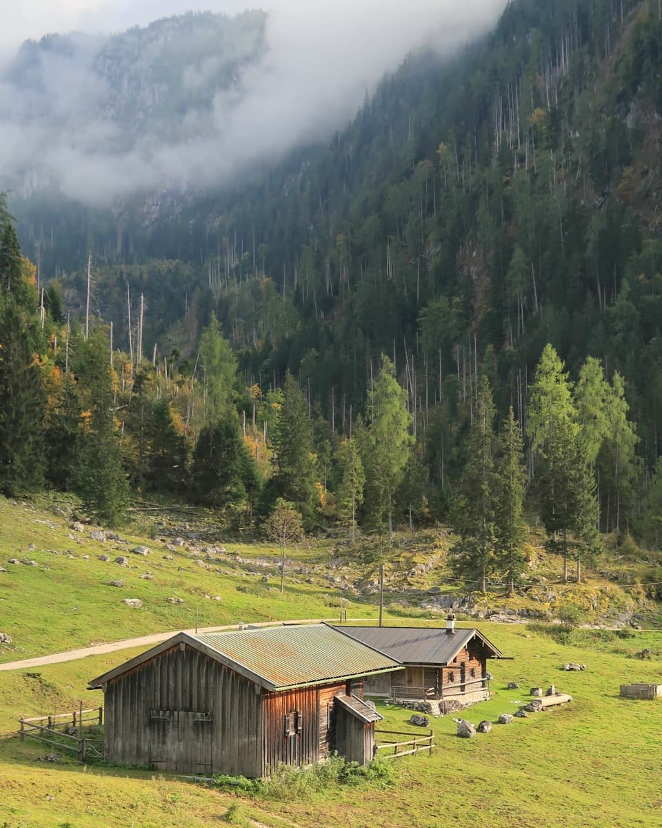
Berchtesgaden National Park, BY
Two alpine pastures before a steep descent to Königssee.
Overview
Map & elevation
Plan your hike

The highest, rockiest slopes around here are a summer buffet for grizzly bears.
Berchtesgaden Tour Guide
Parkwolf is a GPS audio tour guide for Berchtesgaden National Park. As you drive, it chimes in with what’s ahead: hidden gems, upcoming stops, history, geology, and wildlife, right through your car’s speakers.
Recorded for this area
Königssee by Boat or on Foot“You're coming up on Königssee, where electric boats carry you between steep mountain walls beneath the Watzmann. I'd take the boat to St. Bartholomä for the red-domed church and a wander along the shore.”
Plays on the road 0.3 km from the trailhead in the Parkwolf Berchtesgaden Tour Guide.
More stories near here in the app
“Fantastic app with many points of information… It’s great to just turn on while you’re driving and it gives you an audio tour of the national Park. We love it!!!!”


Trail guide
This is a 10.8 km (6.7 mi) point-to-point walk from Parkplatz Königssee to the Kessel landing. It climbs through Königsbachalm and Gotzentalalm, then drops steeply to the lake on Kesselsteig. Plan about six hours, with 735 m up and 689 m down. The larger 14.6 km figure includes the boat trip back toward Königssee; the hike itself ends at Kessel. This suits hikers looking for a hard mountain day, not a level lakeside walk.
From the parking lot, pass the Jennerbahn valley station and take Hochbahnweg; occasional openings look down to Königssee. At Königsbachalm, turn right onto a broad forest road for Gotzentalalm. Stop there for this route: continuing uphill toward Gotzenalm makes a longer, different outing.
From Gotzentalalm, take Kesselsteig. It descends in wide switchbacks through a steep, densely wooded slope above the lake. The main challenge is the sustained downhill. When the trees open, St. Bartholomä sits below the Watzmann East Face; pause on the path and frame both with a little of the wooded slope.
Gotzentalalm has four traditional Kaser and a service hut today; the pasture had nine huts in 1859. Alpine farming is part of Bavaria's recognized intangible cultural heritage. Public food service, toilets, and water at the huts were not confirmed, so bring what you need for a six-hour hike rather than relying on them as supply stops.
Kessel is an on-demand stop. Use the orange board at the landing to signal the boat crew, and buy the one-way ticket from them. Check current service dates and the timetable before starting. Dogs may hike on leash in the park, but must wear a muzzle on the boat.
Wildlife
 14 sightingsBearded VultureMost seen around noonSighting map
 29 sightingsGolden EagleMost seen around noonSighting map
 22 sightingsRed DeerMost seen around 6 PMSighting map
 131 sightingsAlpine ChamoisMost seen around 5 PMSighting map
 65 sightingsAlpine SalamanderMost seen around 11 AMSighting map
 63 sightingsAlpine MarmotMost seen around 9 AMSighting map
Sighting maps show where each species has been reported across Berchtesgaden. Wildlife moves, so no sighting is guaranteed.
Keep exploring
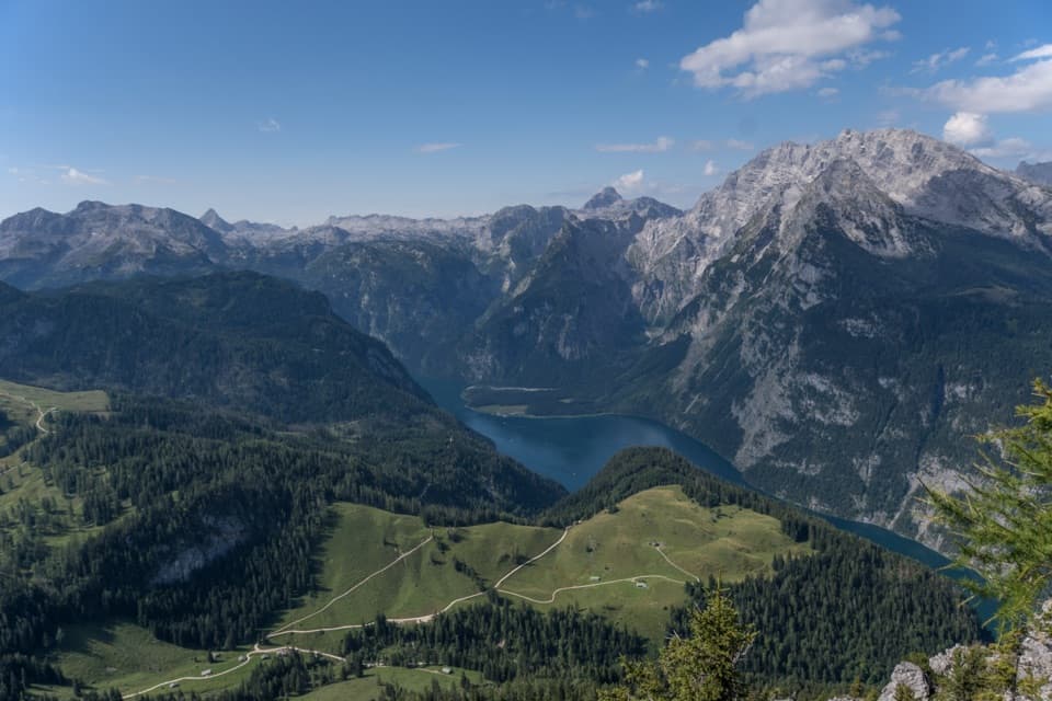 ChallengingJenner Summit via the Hochbahn10.7 km · 5.2 hr · At the trailheadA steep, storied climb from Königssee to the Jenner summit.
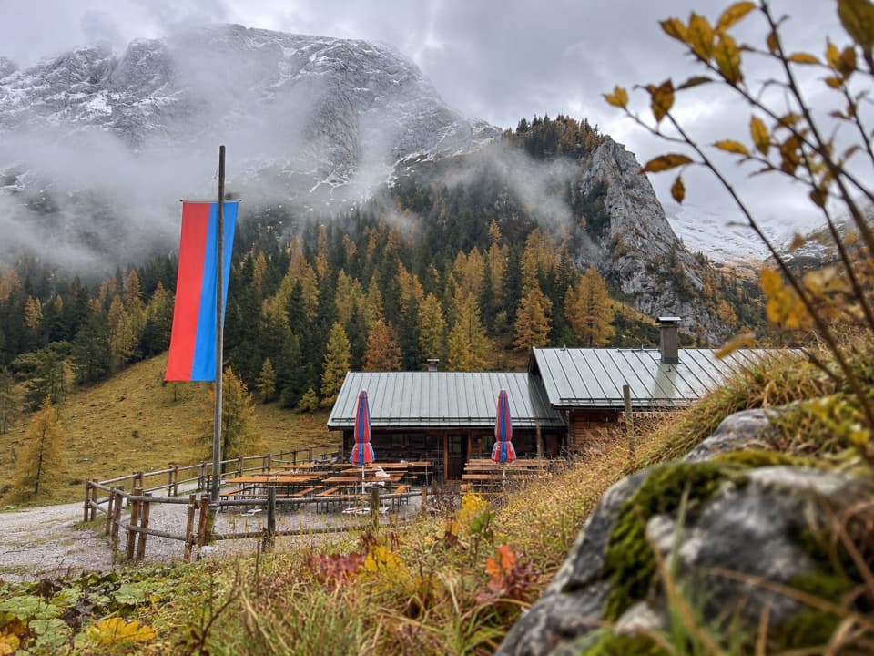 ModerateMitterkaseralm am Jenner9.3 km · 4 hr · 0.1 km awayA steep forest climb to a pasture inn below Jenner’s limestone ridge.
 ChallengingGotzenalm via Hochbahn Trail22.8 km · 8.7 hr · 0.1 km awayA long climb pays off at the Königssee’s cliff-edge lookout.
 ModerateKönigsbachalm via Hochbahn8.2 km · 3.8 hr · 0.3 km awayA steep forest climb ends at a mountain pasture above Königssee.
 EasyMalerwinkel-Rundweg3.4 km · 1.5 hr · 0.3 km awayA quick forest loop with Königssee and St. Bartholomä in view.
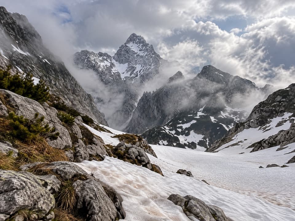 ChallengingKönigssee – Steinernes Meer 3-Day Hike44.1 km · 16 hr · 0.3 km awayWaterfalls, hut nights, and a hard crossing of bare alpine limestone.
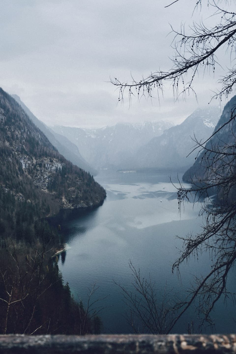 ModerateRabenwand via Malerwinkel Loop4.3 km · 2 hr · 0.4 km awayA rocky spur lifts the Malerwinkel loop above Königssee.
 ChallengingGroße Sommer-Reibn56.6 km · 1 days · 0.5 km awaySix days of huts, lakes and exposed passes in limestone country.
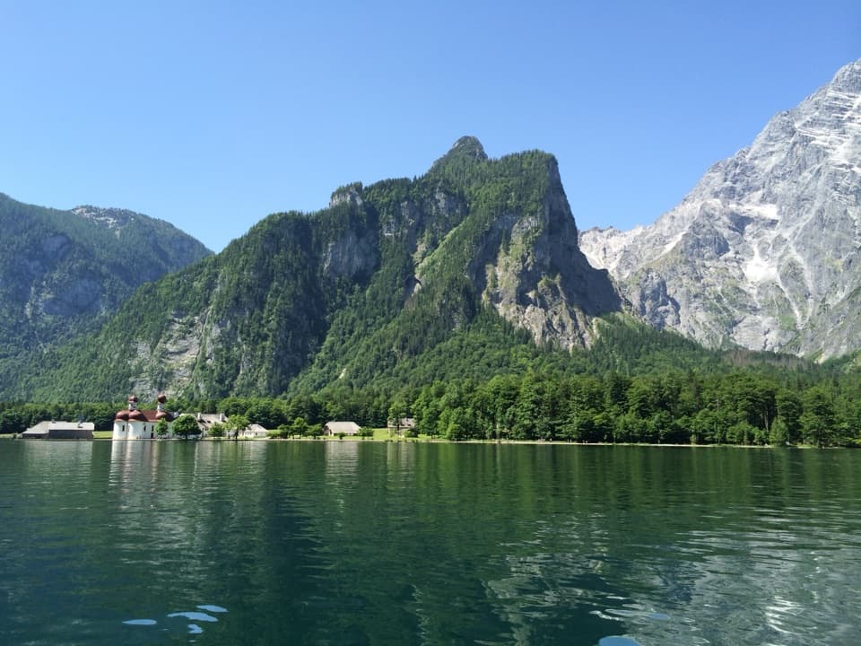 Sight · 0.3 km awayKönigsseeElectric boats cross deep green water beneath the Watzmann East Face.
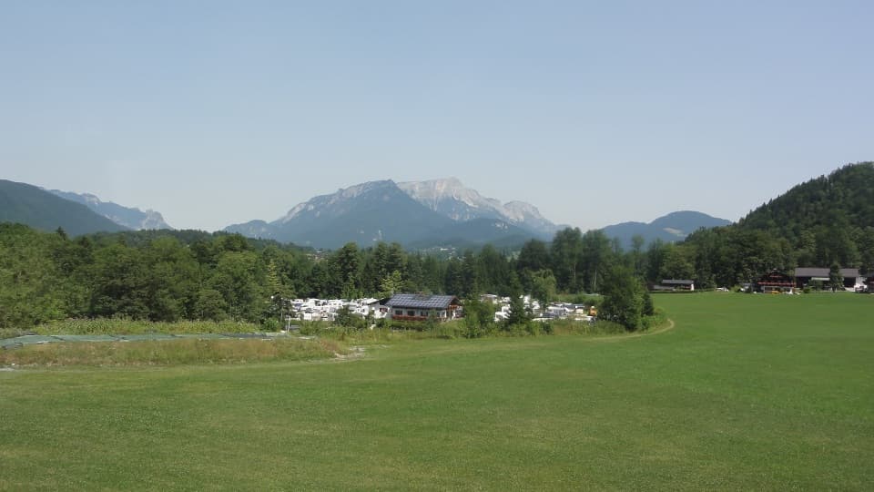 Campground · 0.5 km awayCamping GrafenlehenA walkable Königssee base with views of the Watzmann.
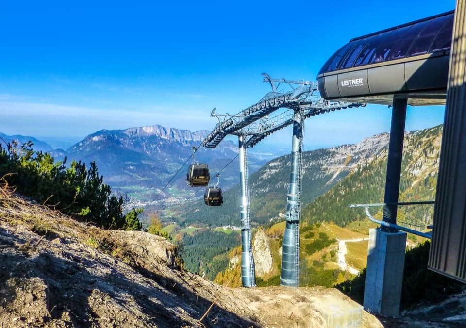 Sight · 0.5 km awayJennerbahnRide above Königssee, then see the park’s free rock-habitat exhibit.Sight · 1 km awayMalerwinkel ViewpointA short climb opens Königssee toward St. Bartholomä and Schönfeldspitze.
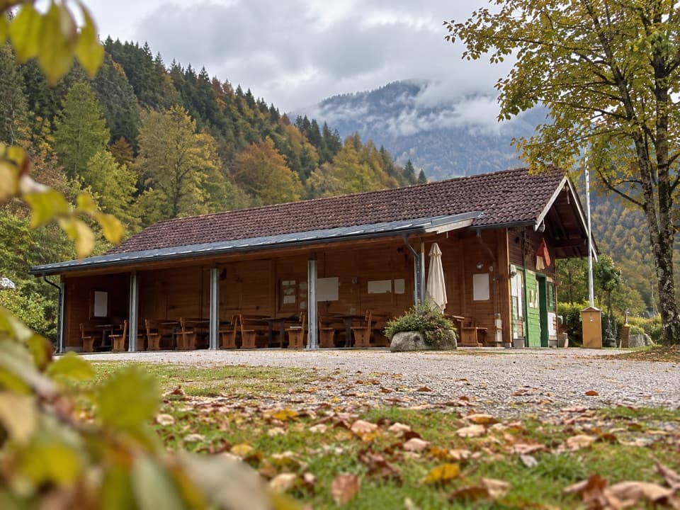 Campground · 1 km awayCamping MühlleitenA Königssee camping base with direct Watzmann views.
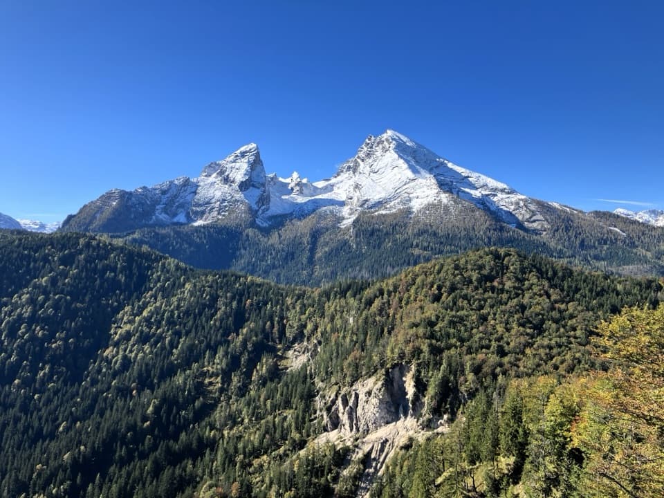 Sight · 1.7 km awayGrünstein Summit ViewpointA steep climb for Watzmann, Königssee and a hut stop below.
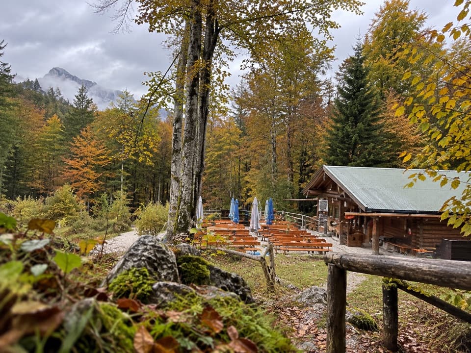 Restaurant · 1.9 km awayGrünsteinhütteA terrace stop for Kaiserschmarrn below Grünstein's summit.
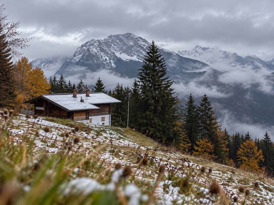 Restaurant · 2.3 km awayDr.-Hugo-Beck-HausWatzmann views reward the uphill walk to this Jenner hut.
Parkwolf’s Berchtesgaden ranking

The audio tour guide for the drive, plus offline maps, trails, and wildlife heatmaps for when the signal drops.



