Parking
Use the large paid Parkplatz Königssee, about 200 m from the Jennerbahn valley station. The hike starts in the station area, not in the parking lot; a municipal parking fee applies.
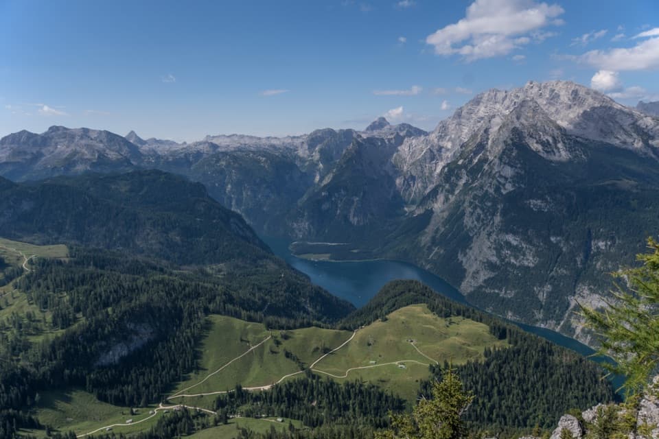
Berchtesgaden National Park, BY
A steep, storied climb from Königssee to the Jenner summit.
Overview
Map & elevation
Plan your hike

The highest, rockiest slopes around here are a summer buffet for grizzly bears.
Berchtesgaden Tour Guide
Parkwolf is a GPS audio tour guide for Berchtesgaden National Park. As you drive, it chimes in with what’s ahead: hidden gems, upcoming stops, history, geology, and wildlife, right through your car’s speakers.
Recorded for this trailhead
Jennerbahn: Ride Up for Königsblick“You're nearing the Jennerbahn valley station, where the gondola takes you high above Königssee. I'd choose this on a clear day, when you can enjoy the lake and the Watzmann across it.”
Plays as you drive up to this trailhead in the Parkwolf Berchtesgaden Tour Guide.
More stories near here in the app
“Fantastic app with many points of information… It’s great to just turn on while you’re driving and it gives you an audio tour of the national Park. We love it!!!!”


Trail guide
Jenner Summit via the Hochbahn is the long ascent from Königssee past Königsbachalm, Schneibsteinhaus and Carl-von-Stahl-Haus at Torrener Joch, then up to the Jenner summit. The valley climb to the mountain station is listed at 10.1 km one way, 1,173 m of ascent and about 4 hours 53 minutes. From the station, the summit path adds 550 m one way and 74 m of climbing, about 20 minutes. Count on roughly 10.65 km (6.62 mi) and 1,247 m uphill to the summit, around 5 hours 15 minutes before breaks. This is hard mountain hiking, not a quick cable-car stroll. If that much climbing is too much, a shorter start from Parkplatz Hinterbrand joins the route at Königsbachalm.
The recorded route is the uphill walk. The Jennerbahn is a separate way down from the mountain station; if you return on foot, plan for the same route back and a much longer day.
From Königssee, the Hochbahn climbs through shaded spruce forest. In winter, timber once came down this corridor on sleds. The colorful wayside shrines, or Marterl, tell of the woodcutters’ dangerous work. Königsbachalm is about an hour and a half uphill and marks the change from forest to open country.
Beyond Königsbachalm, the route crosses alpine meadows and open mountain-pine stands, following the Königsbach gorge toward Schneibsteinhaus. Königsbachalm serves hearty snacks when open, but closes in winter and in bad weather. The trail continues past Schneibsteinhaus and Carl-von-Stahl-Haus at Torrener Joch. From there, you can look into Austria’s Bluntautal. These are useful stops on a long day, but check their operating seasons before relying on food or shelter.
Marmots live in the meadows around Königsbachalm; some burrow entrances are only a few metres from the path. They’re called Mankei locally. You may hear a whistle or spot one at a burrow, but leave the animals and their entrances alone. Dogs are allowed on Jenner and must be leashed in the park and cable-car area.
The summit platform looks down on Königssee, with the Watzmann massif across the water and the pale karst of the Steinernes Meer beyond. The Watzmann’s smaller “children” peaks sit between the larger summits. For a photo, keep the lake below the mountain in the frame; it gives the rock face its scale. The final summit path closes in winter because of falling risk. The 550 m from the mountain station to the summit is one way, so walk it back to the station before taking the cable car down.
Wildlife
 14 sightingsBearded VultureMost seen around noonSighting map
 29 sightingsGolden EagleMost seen around noonSighting map
 22 sightingsRed DeerMost seen around 6 PMSighting map
 131 sightingsAlpine ChamoisMost seen around 5 PMSighting map
 65 sightingsAlpine SalamanderMost seen around 11 AMSighting map
 63 sightingsAlpine MarmotMost seen around 9 AMSighting map
Sighting maps show where each species has been reported across Berchtesgaden. Wildlife moves, so no sighting is guaranteed.
Keep exploring
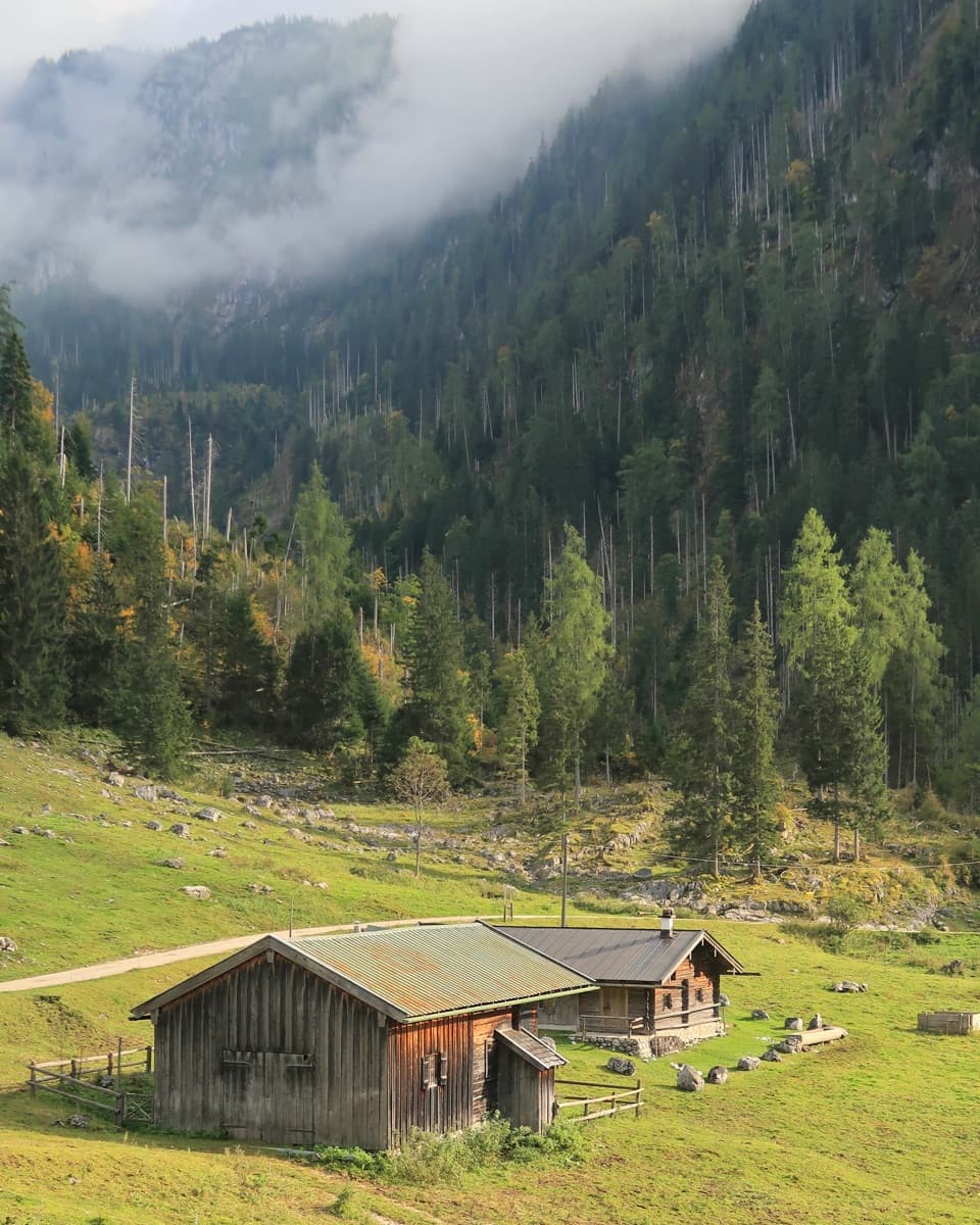 ChallengingKönigsbachalm – Gotzentalalm – Kessel10.8 km · 6 hr · At the trailheadTwo alpine pastures before a steep descent to Königssee.
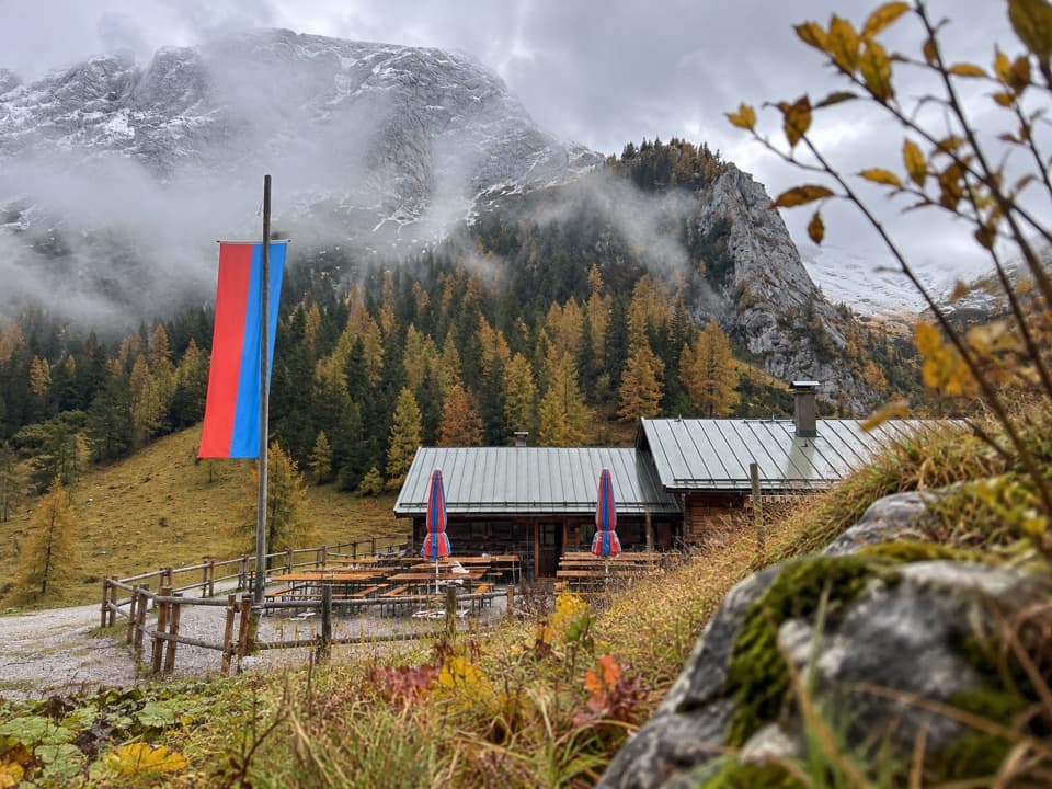 ModerateMitterkaseralm am Jenner9.3 km · 4 hr · 0.1 km awayA steep forest climb to a pasture inn below Jenner’s limestone ridge.
 ChallengingGotzenalm via Hochbahn Trail22.8 km · 8.7 hr · 0.1 km awayA long climb pays off at the Königssee’s cliff-edge lookout.
 ModerateKönigsbachalm via Hochbahn8.2 km · 3.8 hr · 0.3 km awayA steep forest climb ends at a mountain pasture above Königssee.
 EasyMalerwinkel-Rundweg3.4 km · 1.5 hr · 0.3 km awayA quick forest loop with Königssee and St. Bartholomä in view.
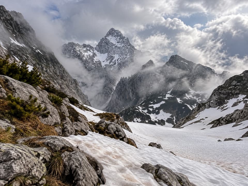 ChallengingKönigssee – Steinernes Meer 3-Day Hike44.1 km · 16 hr · 0.3 km awayWaterfalls, hut nights, and a hard crossing of bare alpine limestone.
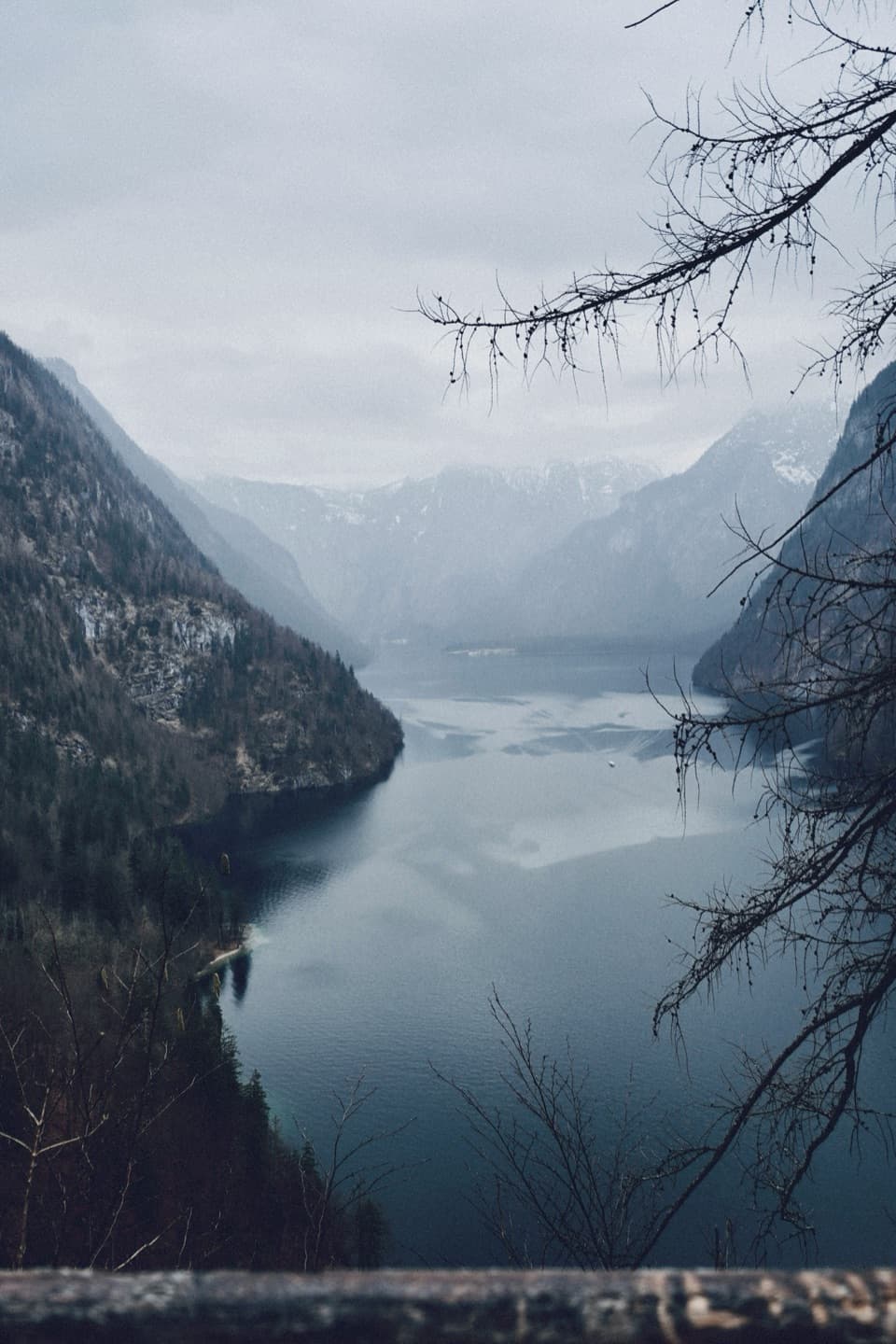 ModerateRabenwand via Malerwinkel Loop4.3 km · 2 hr · 0.4 km awayA rocky spur lifts the Malerwinkel loop above Königssee.
 ChallengingGroße Sommer-Reibn56.6 km · 1 days · 0.5 km awaySix days of huts, lakes and exposed passes in limestone country.
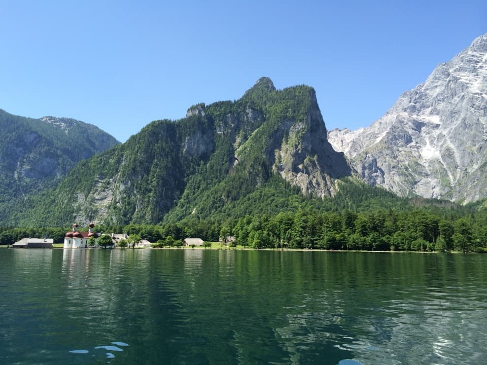 Sight · 0.3 km awayKönigsseeElectric boats cross deep green water beneath the Watzmann East Face.
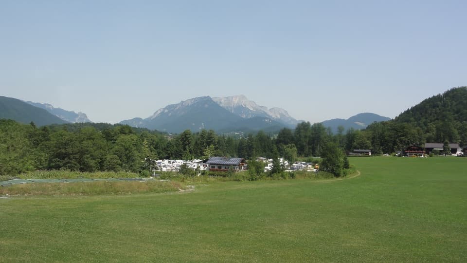 Campground · 0.5 km awayCamping GrafenlehenA walkable Königssee base with views of the Watzmann.
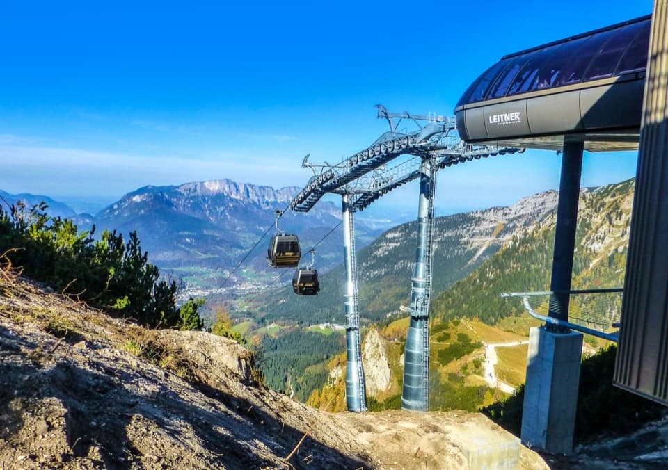 Sight · 0.5 km awayJennerbahnRide above Königssee, then see the park’s free rock-habitat exhibit.Sight · 1 km awayMalerwinkel ViewpointA short climb opens Königssee toward St. Bartholomä and Schönfeldspitze.
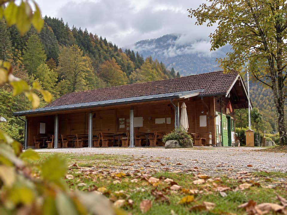 Campground · 1 km awayCamping MühlleitenA Königssee camping base with direct Watzmann views.
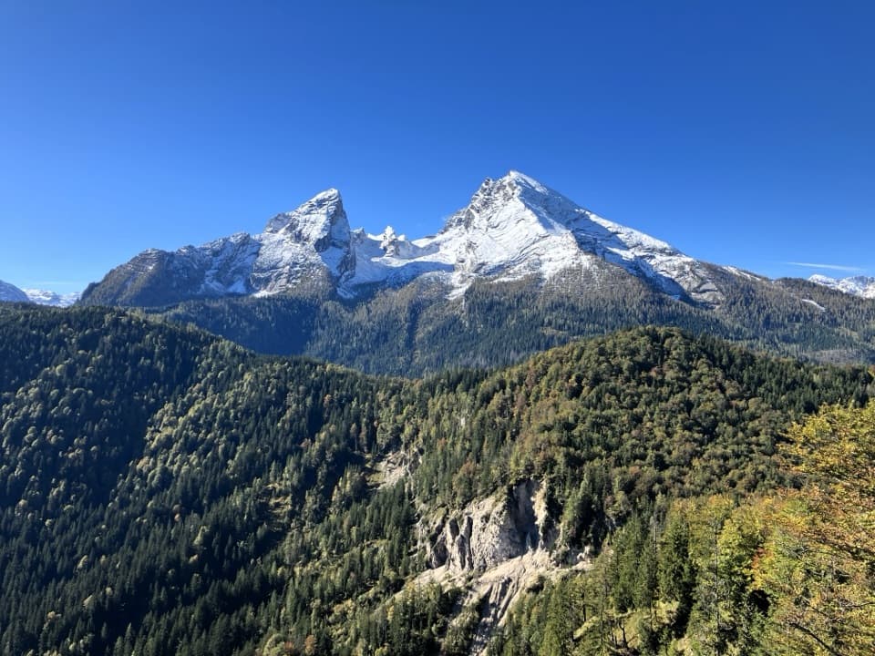 Sight · 1.7 km awayGrünstein Summit ViewpointA steep climb for Watzmann, Königssee and a hut stop below.
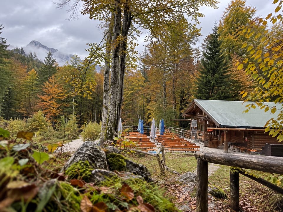 Restaurant · 1.9 km awayGrünsteinhütteA terrace stop for Kaiserschmarrn below Grünstein's summit.
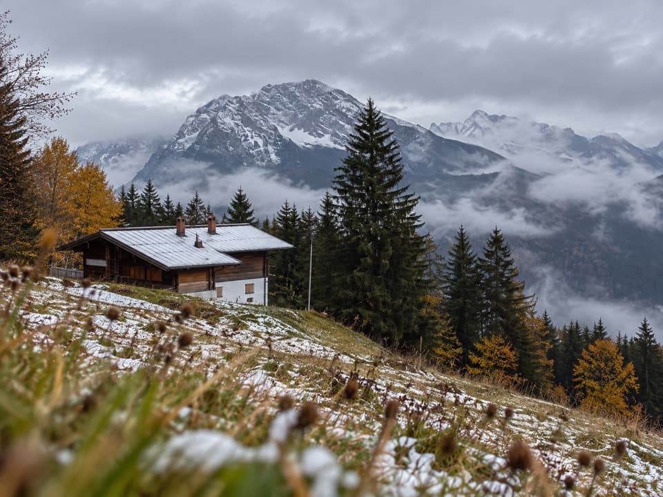 Restaurant · 2.3 km awayDr.-Hugo-Beck-HausWatzmann views reward the uphill walk to this Jenner hut.
Parkwolf’s Berchtesgaden ranking

The audio tour guide for the drive, plus offline maps, trails, and wildlife heatmaps for when the signal drops.



