Parking
Use the large public Königssee car park on Seestraße 3 in Schönau am Königssee. Walk to the uphill route entry by the bobsled-track starting ramp. The hiking line ends at St. Bartholomä; return by boat to Königssee village.
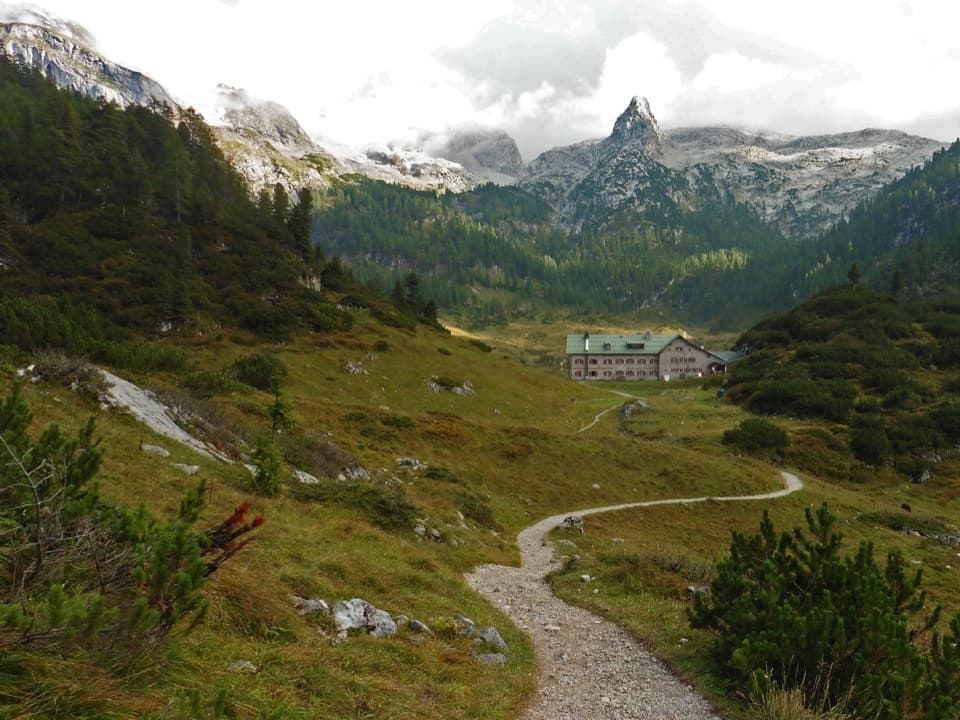
Berchtesgaden National Park, BY
Four days around the Watzmann, from high huts to the lake.
Overview
Map & elevation
Plan your hike

The highest, rockiest slopes around here are a summer buffet for grizzly bears.
Berchtesgaden Tour Guide
Parkwolf is a GPS audio tour guide for Berchtesgaden National Park. As you drive, it chimes in with what’s ahead: hidden gems, upcoming stops, history, geology, and wildlife, right through your car’s speakers.
Recorded for this area
Königssee by Boat or on Foot“You're coming up on Königssee, where electric boats carry you between steep mountain walls beneath the Watzmann. I'd take the boat to St. Bartholomä for the red-domed church and a wander along the shore.”
Plays on the road 0.5 km from the trailhead in the Parkwolf Berchtesgaden Tour Guide.
More stories near here in the app
“Fantastic app with many points of information… It’s great to just turn on while you’re driving and it gives you an audio tour of the national Park. We love it!!!!”


Trail guide
The Watzmann-Runde is a four-stage, 26.2-mile (42.1-kilometre) point-to-point hike from the Königssee access to St. Bartholomä. It circles the Watzmann massif by high mountain paths and sleeps at three huts; it does not cross the summit ridge. Plan for about 19½ hours of walking over four days, then take the public boat from St. Bartholomä across the lake to close the visitor itinerary. The boat is not included in the trail mileage. Choose this for a serious hut trek, not a one-day summit scramble.
Start uphill by the bobsled-track ramp and climb through the rocky Weiße Wand to Grünsteinhütte. Continue to the 1,304-metre Grünstein summit for a broad look over Königssee and the Berchtesgaden valley, then return to the route for Kührointalm. A shorter line skips the summit and goes straight to Kühroint; this version follows the scenic Grünstein approach. From Kühroint, the way toward Falzalm is easier going, with one short cable-secured section, before switchbacks climb Falzköpfl to Watzmannhaus at 1,930 metres. Allow about 5½ hours and 1,320 metres of ascent.
Descend from Watzmannhaus by Falzalm and Mitterkaseralm to Wimbachbrücke, then turn into the Wimbach valley. The long walk up the valley is gentler and nearly level, following a broad pale scree field beneath the Watzmann and Hochkalter. It ends at Wimbachgrieshütte. The scree is a deep, mobile flow of brittle dolomite that keeps shifting downhill; sparse plants struggle to take hold in it. This stage takes about six hours. It is a useful breather before tomorrow’s rougher pass crossing.
Follow Wimbachgries to the valley head, then leave the easier tread for a sustained climb to Trischübelalm. The path rises and dips past a spring below Graskopf, climbs through Hundstodgrube to Hundstodgatterl, and traverses beneath the steep east face of Großer Hundstod. Beyond the pass, the route crosses a bare karst plateau in repeated small rises and drops toward Kärlingerhaus at Funtensee. The scenery opens into the pale, broken limestone country of the Steinernes Meer, where chamois and marmots may be seen. Allow about five hours plus stops; this remote, stony section asks for sure feet even when the trail is not climbing steeply.
From Kärlingerhaus, climb briefly before dropping through Saugasse, a narrow ravine walled by high rock. Its many well-graded switchbacks make the descent manageable, but it is still a long way down to the forest and lakeshore. The final walk reaches St. Bartholomä, where the Baroque church sits below the Watzmann’s immense east face. The route ends here on foot. Take the lake boat back to Königssee and check its seasonal service before setting out. The shore is the signature photo stop: the church and the full rock face share one frame.
The overnight stages are Watzmannhaus, Wimbachgrieshütte, and Kärlingerhaus. These are seasonal mountain huts, so confirm each opening date and reserve all three nights before you start. Keep to marked paths and carry what you need for four days in the mountains. The route has steep, rocky ground and short secured sections; it is for experienced, sure-footed hikers with strong stamina, not a casual valley walk. Dogs must be on a lead in the National Park, but this exposed, rocky route is a poor choice for them.
This row is the four-day hut circuit without the Watzmann ridge or a side trip to Hocheck. Another four-day version adds a cable-protected out-and-back to Hocheck from Watzmannhaus and reports a longer tour distance that also includes the boat crossing; neither belongs in this walking line. The similarly named one-day “Rund um den Watzmann” goes from Wimbachbrücke by Sigeretplatte to St. Bartholomä, a different and more exposed route. Compare the huts and endpoints, not just the shared Watzmann name.
Wildlife
 14 sightingsBearded VultureMost seen around noonSighting map
 29 sightingsGolden EagleMost seen around noonSighting map
 22 sightingsRed DeerMost seen around 6 PMSighting map
 131 sightingsAlpine ChamoisMost seen around 5 PMSighting map
 65 sightingsAlpine SalamanderMost seen around 11 AMSighting map
 63 sightingsAlpine MarmotMost seen around 9 AMSighting map
Sighting maps show where each species has been reported across Berchtesgaden. Wildlife moves, so no sighting is guaranteed.
Keep exploring
 ChallengingGotzenalm via Hochbahn Trail22.8 km · 8.7 hr · 0.6 km awayA long climb pays off at the Königssee’s cliff-edge lookout.
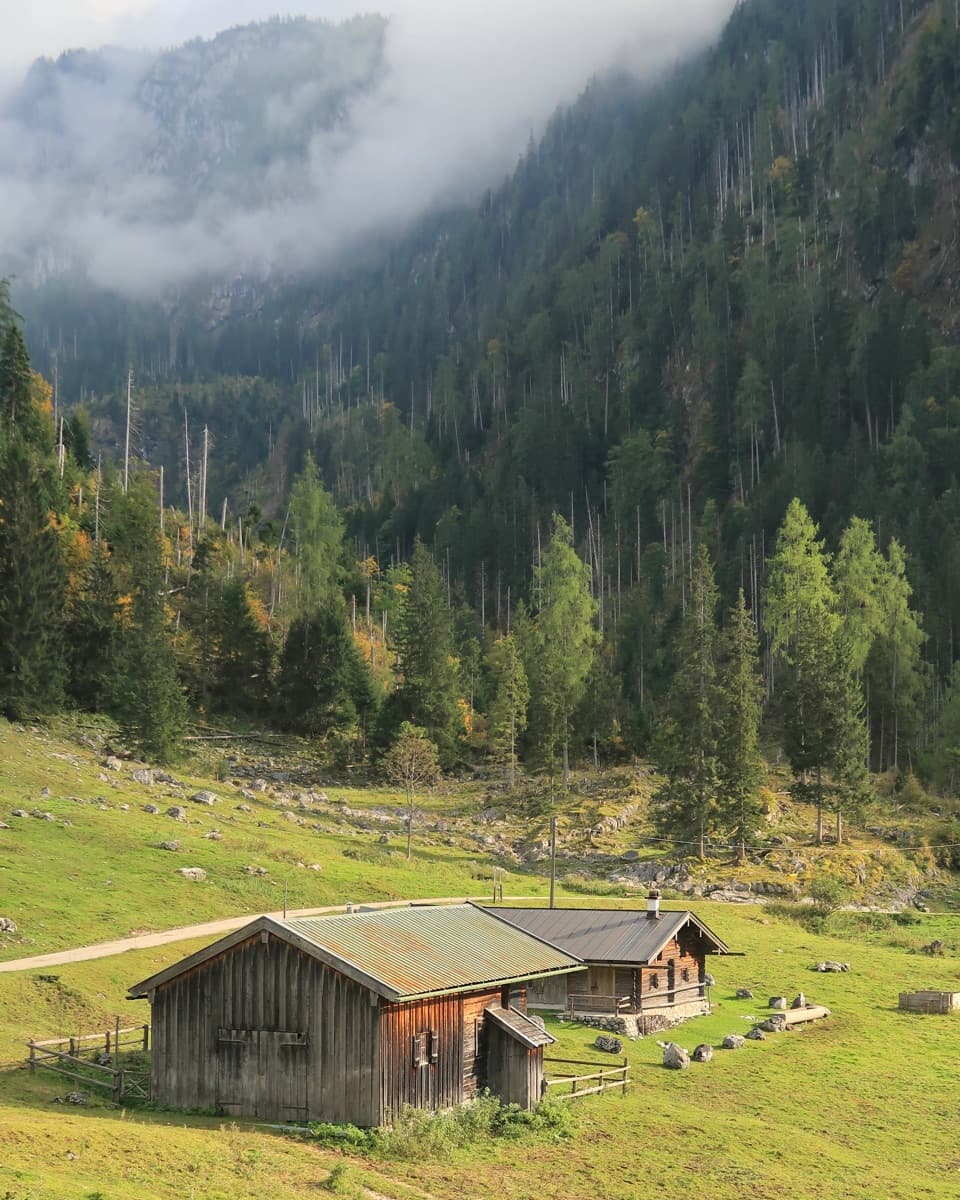 ChallengingKönigsbachalm – Gotzentalalm – Kessel10.8 km · 6 hr · 0.6 km awayTwo alpine pastures before a steep descent to Königssee.
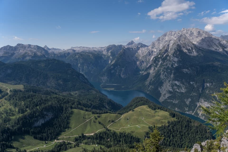 ChallengingJenner Summit via the Hochbahn10.7 km · 5.2 hr · 0.6 km awayA steep, storied climb from Königssee to the Jenner summit.
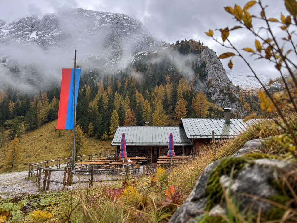 ModerateMitterkaseralm am Jenner9.3 km · 4 hr · 0.6 km awayA steep forest climb to a pasture inn below Jenner’s limestone ridge.
 EasyMalerwinkel-Rundweg3.4 km · 1.5 hr · 0.8 km awayA quick forest loop with Königssee and St. Bartholomä in view.
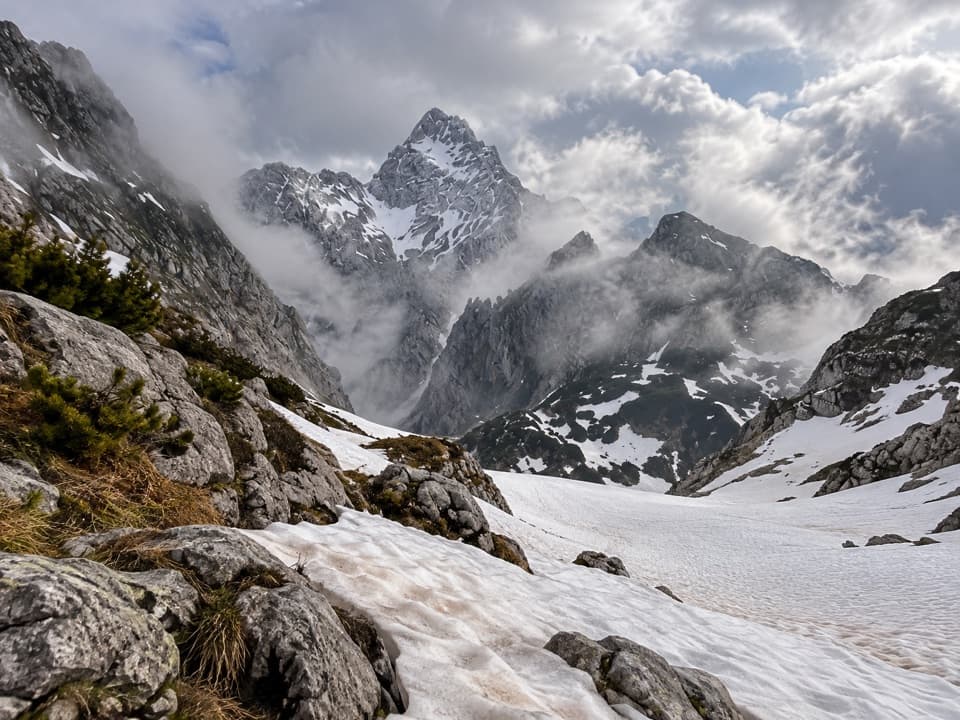 ChallengingKönigssee – Steinernes Meer 3-Day Hike44.1 km · 16 hr · 0.9 km awayWaterfalls, hut nights, and a hard crossing of bare alpine limestone.
 ModerateKönigsbachalm via Hochbahn8.2 km · 3.8 hr · 0.9 km awayA steep forest climb ends at a mountain pasture above Königssee.
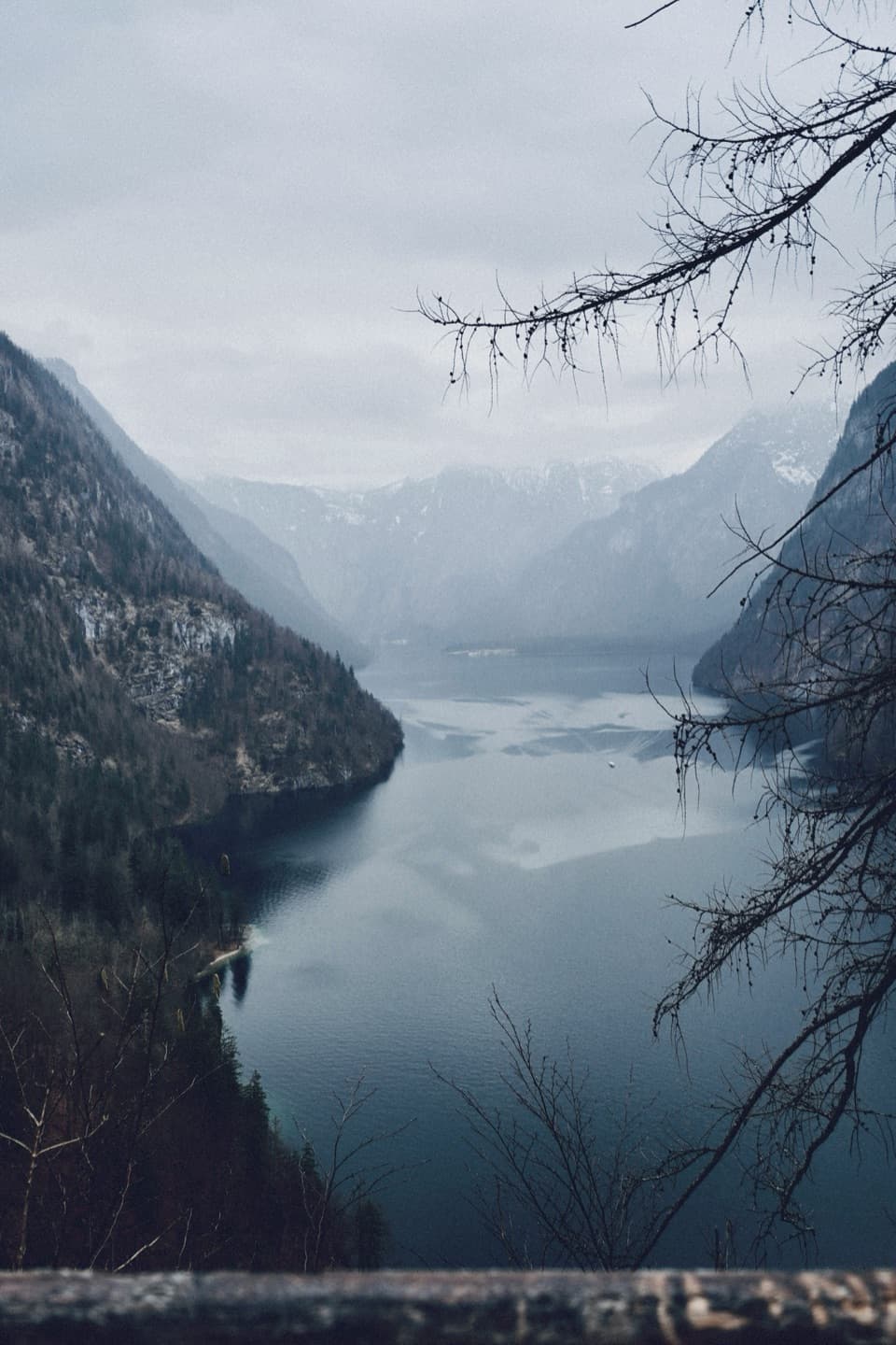 ModerateRabenwand via Malerwinkel Loop4.3 km · 2 hr · 0.9 km awayA rocky spur lifts the Malerwinkel loop above Königssee.
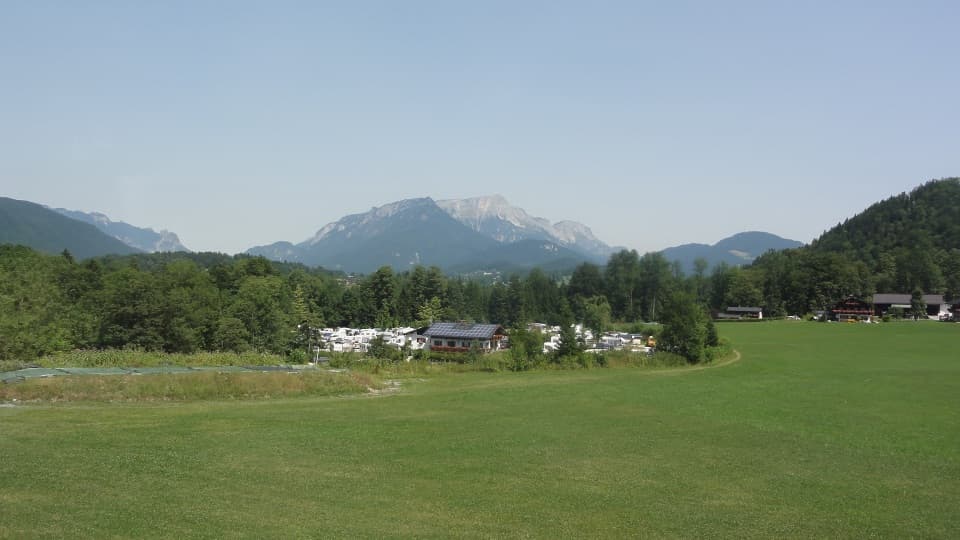 Campground · 0.5 km awayCamping GrafenlehenA walkable Königssee base with views of the Watzmann.
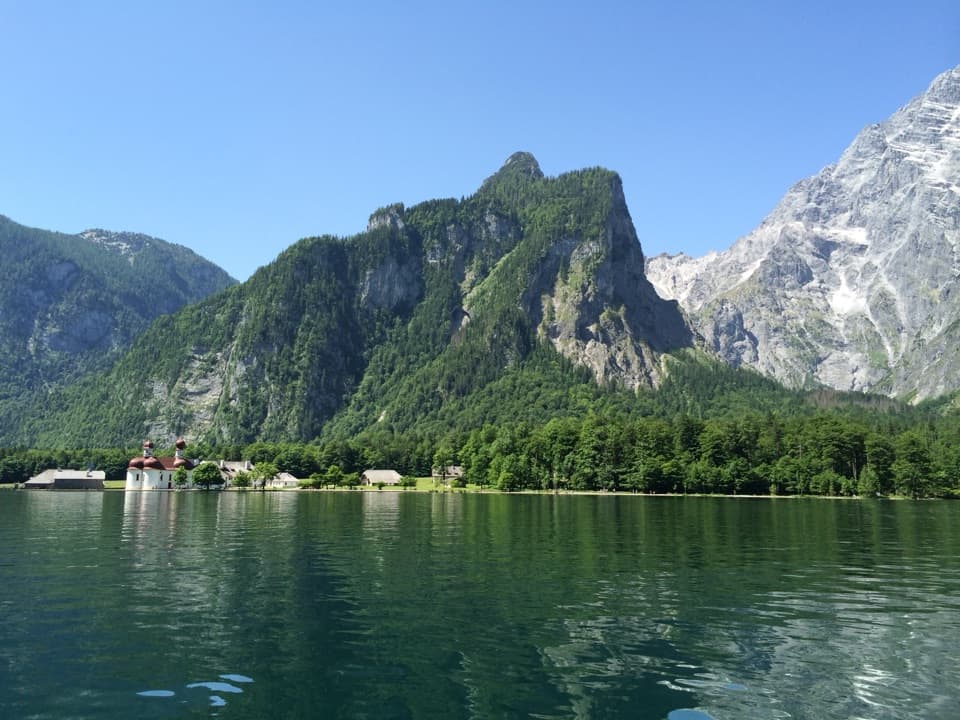 Sight · 0.9 km awayKönigsseeElectric boats cross deep green water beneath the Watzmann East Face.
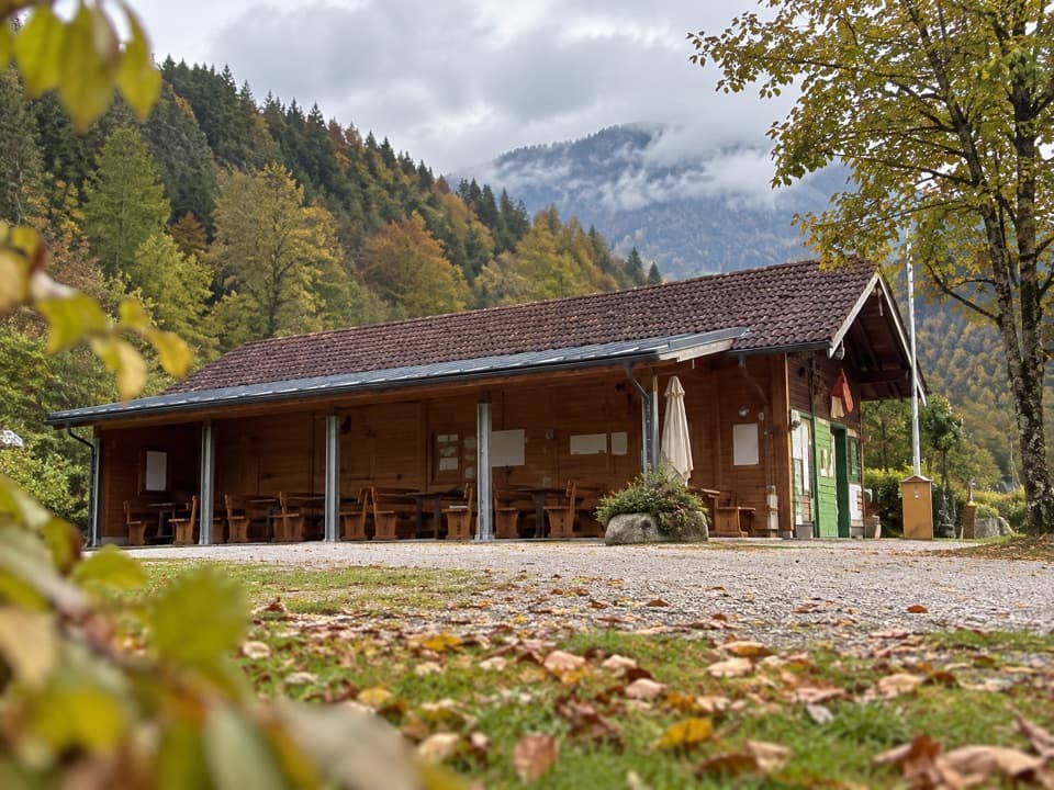 Campground · 1 km awayCamping MühlleitenA Königssee camping base with direct Watzmann views.
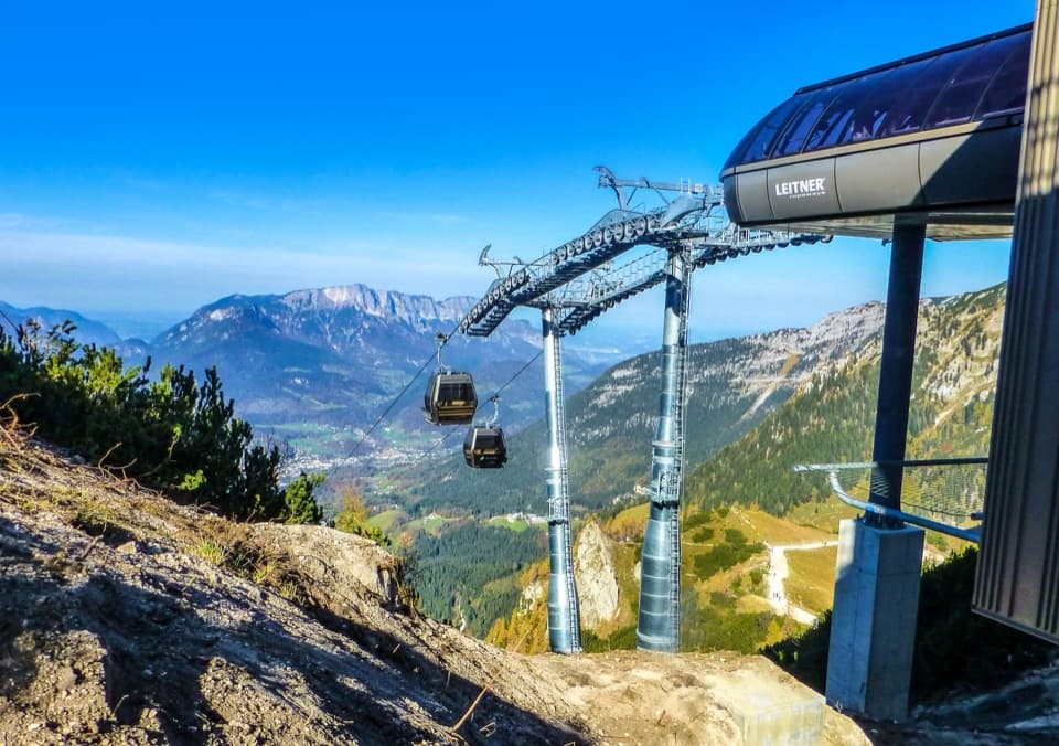 Sight · 1.1 km awayJennerbahnRide above Königssee, then see the park’s free rock-habitat exhibit.
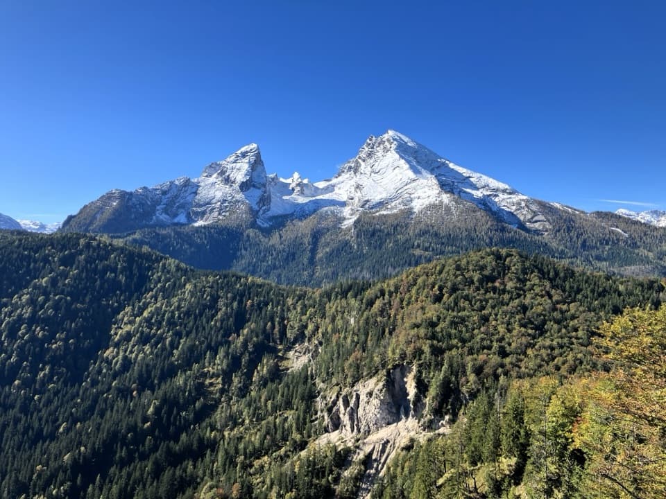 Sight · 1.1 km awayGrünstein Summit ViewpointA steep climb for Watzmann, Königssee and a hut stop below.
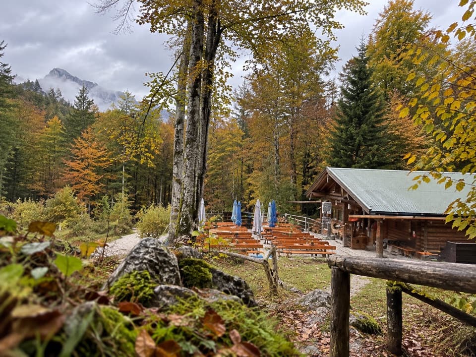 Restaurant · 1.4 km awayGrünsteinhütteA terrace stop for Kaiserschmarrn below Grünstein's summit.Sight · 1.5 km awayMalerwinkel ViewpointA short climb opens Königssee toward St. Bartholomä and Schönfeldspitze.
 Food · 2.3 km awaySchapbachalmHouse-made alpine cheese with the Watzmann close overhead.
Parkwolf’s Berchtesgaden ranking

The audio tour guide for the drive, plus offline maps, trails, and wildlife heatmaps for when the signal drops.



