Parking
The signed track starts beside the pony stables at Fairmont Resort. Local route directions point to the car park by the ice-skating rink, but public access and parking terms there were not confirmed; check before leaving your car.

Blue Mountains National Park, NSW
Two valley lookouts, with both Wentworth Falls drops in view.
Overview
Map & elevation
Plan your hike

The highest, rockiest slopes around here are a summer buffet for grizzly bears.
Blue Mountains Tour Guide
Parkwolf is a GPS audio tour guide for Blue Mountains National Park. As you drive, it chimes in with what’s ahead: hidden gems, upcoming stops, history, geology, and wildlife, right through your car’s speakers.
See the Blue Mountains audio tourRecorded for this area
The Shadow Above the Horizon“At a lookout after sunset, try facing east, away from where the sun went down. With a clear horizon, you may see a blue-grey band below a pink glow. The darker band is Earth's own shadow falling across the atmosphere.”
Plays on the road 1 km from the trailhead in the Parkwolf Blue Mountains Tour Guide.
More stories near here in the app
“Fantastic app with many points of information… It’s great to just turn on while you’re driving and it gives you an audio tour of the national Park. We love it!!!!”


Trail guide
Inspiration Point is a 2.5 km return out-and-back from the Fairmont side of Leura to two natural lookouts on a branch of the Grand Cliff Top Walk. Start at the signed track beside the pony stables, follow the Lillians Bridge section to the lookout fork, then retrace the same way after visiting both points. Allow 1–2 hours. It’s easy overall, with a short, steeper section and many steps near the lookouts.
At the fork, take the stepped spur to Gladstone Lookout, then backtrack to the junction and continue to Moya Point. Gladstone faces the cliffs toward Sublime Point; Moya gives a distant, front-on view of both drops of Wentworth Falls. Moya is the better stop for the long waterfall view, while Gladstone gives you a different angle across Jamison Valley.
The first part is a fairly easy bush track. The lookout branch gets steeper and has uneven steps, and the two viewpoints are natural rocky areas with exposed edges. Take care near the edge. The main track continues toward Valley of the Waters; turn onto the signed Gladstone and Moya branch for this shorter walk. Pets are not permitted in Blue Mountains National Park.
Wildlife
 58 sightingsGrey KangarooMost seen around 6 AMSighting map
 43 sightingsWombatMost seen around 6 PMSighting map
 18 sightingsRed-necked WallabyMost seen around 6 PMSighting map
 53 sightingsSwamp WallabyMost seen around 7 AMSighting map
 23 sightingsBrushtail PossumMost seen around 7 PMSighting map
 30 sightingsRing-tailed PossumMost seen around 7 PMSighting map
Sighting maps show where each species has been reported across Blue Mountains. Wildlife moves, so no sighting is guaranteed.
Keep exploring
 ChallengingGladstone Pass–Roberts Pass loop4.3 km · 2.5 hr · 1 km awayA steep loop through fern gullies and two historic passes.
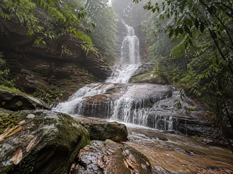 ModerateValley of the Waters Track1.1 km · 45 min · 1.2 km awayA steep, short return to a tiered waterfall in a ferny gorge.
 ModerateNature track3.3 km · 2 hr · 1.2 km awayShort Conservation Hut loop through fern gullies, falls and valley views.
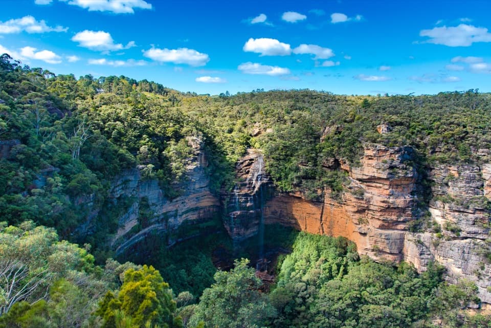 ModerateWentworth Falls track1.4 km · 53 min · 1.4 km awayShort, steep stairs lead to a 100-metre waterfall and valley views.
 ModerateDen Fenella walking track1 km · 54 min · 1.4 km awayA short stairway into tree-fern rainforest and a creekside cascade.
 ChallengingNational Pass5.1 km · 3 hr · 1.4 km awayA cliffside stairway links sandstone ledges, waterfalls, and valley views.
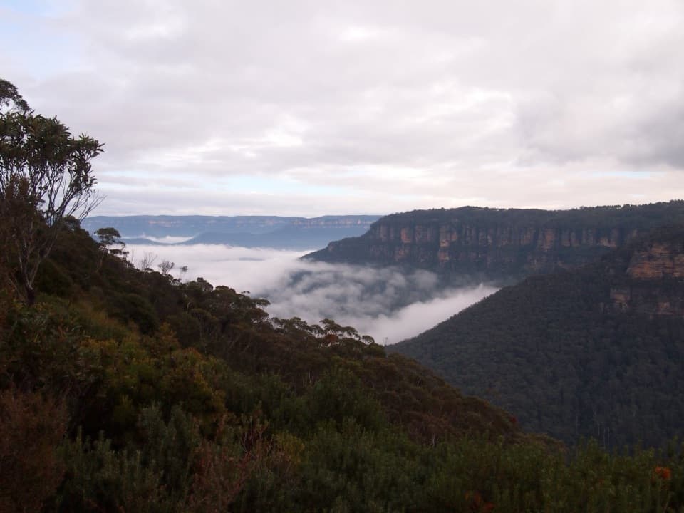 ModerateRocket Point lookout track2.4 km · 1.3 hr · 1.4 km awayStepping stones, a steep climb, and a close view of Wentworth Falls.
 EasyPrinces Rock walking track0.8 km · 45 min · 1.4 km awayA short stepped walk reaches a historic lookout over Wentworth Falls.
 Sight · 0.9 km awaySylvia FallsA stepped rainforest cascade just beyond Empress Falls.
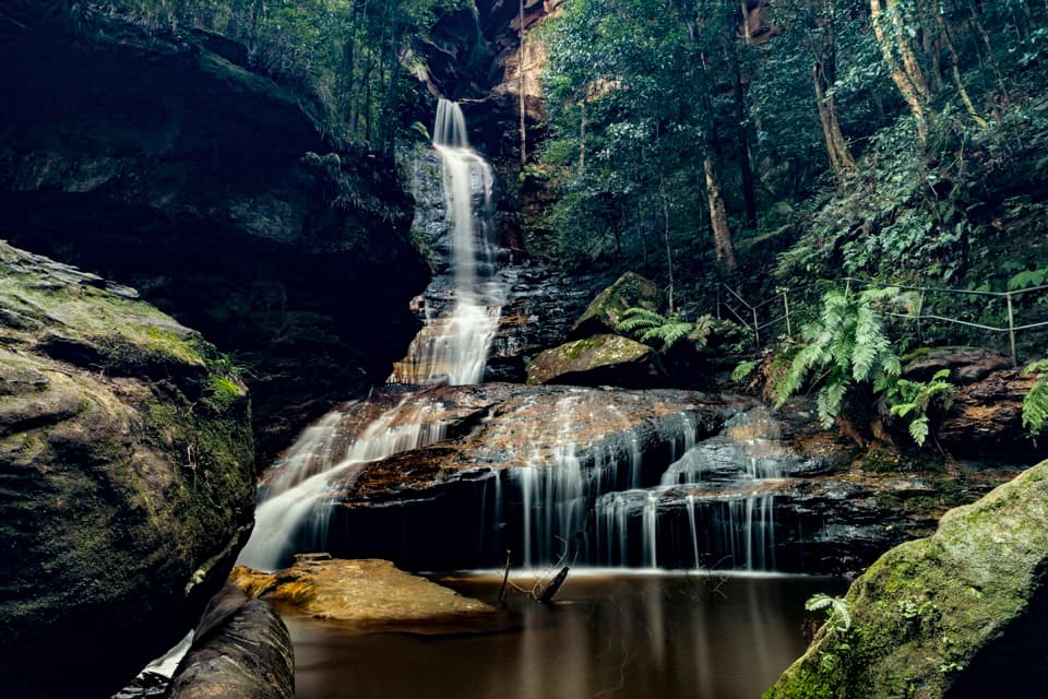 Sight · 1 km awayEmpress FallsA steep waterfall walk where canyoners sometimes abseil.
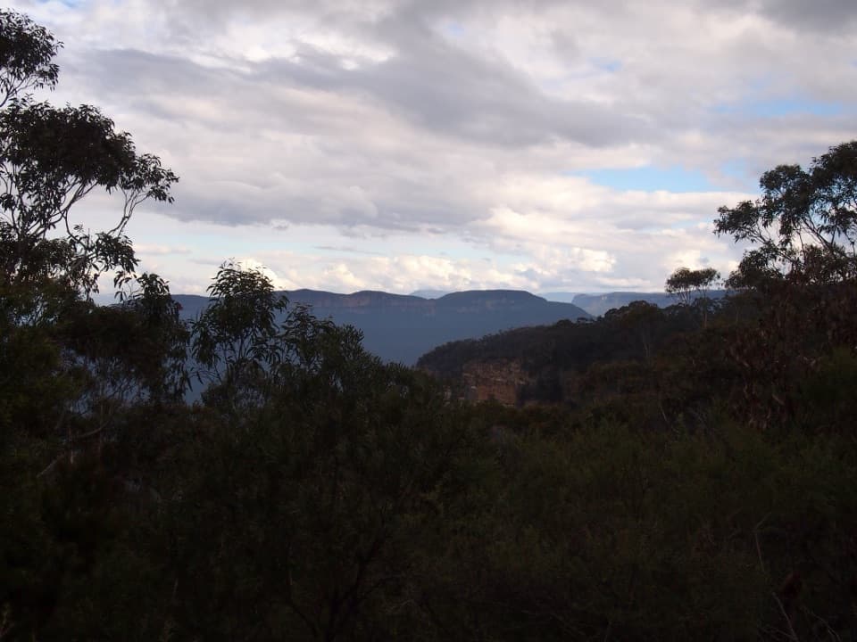 Restaurant · 1.2 km awayConservation HutA proper café stop above the Valley of the Waters.
 Sight · 1.2 km awayValley of the Waters lookoutA level platform for the Jamison Valley, without the steep descent.
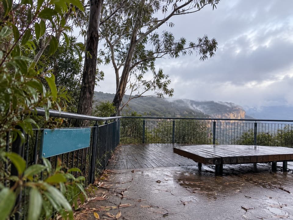 Picnic area · 1.4 km awayWentworth Falls picnic areaA picnic with Jamison Valley views and waterfall walks nearby.
 Sight · 1.5 km awayEdinburgh Castle RockA short spur to an open ledge with a modest valley view.
 Sight · 1.6 km awayPrinces Rock LookoutA close view of Wentworth Falls, reached by a stair-heavy track.
 Sight · 1.6 km awayWentworth Falls LookoutSandstone cliffs open onto the Jamison Valley.
Parkwolf’s Blue Mountains ranking

The audio tour guide for the drive, plus offline maps, trails, and wildlife heatmaps for when the signal drops.




