Parking
The route starts at Newtonmore Bowling Club. The route sources do not confirm visitor parking at the club.

Cairngorms National Park, SC
A short village walk with Cairngorm views and model wildcats.
Overview
Milk Cow Path is a roughly 0.6-mile, one-way village walk from Newtonmore Bowling Club to Station Road, following a quiet back road beside the golf course. Allow about 15 minutes. Most of the route is road, with narrow earth sections that can be uneven or muddy and a few short moderate slopes. It is a quick change of pace in the village, not a hill walk.
 Parkwolf’s verdictIs this the short walk for you?
Map & elevation
Plan your hike

The highest, rockiest slopes around here are a summer buffet for grizzly bears.
Cairngorms Tour Guide
Parkwolf is a GPS audio tour guide for Cairngorms National Park. As you drive, it chimes in with what’s ahead: hidden gems, upcoming stops, history, geology, and wildlife, right through your car’s speakers.
See the Cairngorms audio tourRecorded for this trailhead
Newtonmore’s Wildcat Hunt“Newtonmore's Wildcat Centre is ahead, the starting point for a village treasure hunt.”
Plays as you drive up to this trailhead in the Parkwolf Cairngorms Tour Guide.
More stories near here in the app
“Fantastic app with many points of information… It’s great to just turn on while you’re driving and it gives you an audio tour of the national Park. We love it!!!!”


Trail guide
The Cairngorm views come along the way. Look out for model wildcat figures along the route; they are a playful village feature, not a promise of seeing wildcats.
At Station Road, you can continue to Jack Richmond Memorial Park. For a loop back to the start, return on Main Street; that circuit's distance is not stated. The 0.6 miles above is the one-way Milk Cow Path. Keep to the path across the golf course and keep dogs on a short lead.
Wildlife
 159 sightingsRed DeerMost seen around 7 AMSighting map
 63 sightingsReindeerMost seen around 6 PMSighting map
 102 sightingsOspreyMost seen around 5 PMSighting map
 37 sightingsBlack GrouseMost seen around 4 AMSighting map
 72 sightingsRed GrouseMost seen around 6 PMSighting map
 82 sightingsPine MartenMost seen around 9 PMSighting map
Sighting maps show where each species has been reported across Cairngorms. Wildlife moves, so no sighting is guaranteed.
Keep exploring
 EasyLoch Imrich Loop0.5 km · 15 min · At the trailheadA quiet lochside stroll for waterbirds and a seat by the shore.
 ModerateStrone Road Walk2.4 km · 1 hr · 0.1 km awayA short road loop with Cairngorm and Braeriach in view.
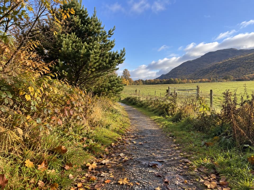 EasyJack Richmond Memorial Park Walk2.4 km · 1 hr · 0.5 km awayAn easy village walk to a woodland loop and Creag Dhu views.
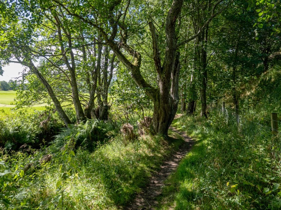 ModerateThe Wildcat Trail10.1 km · 3.5 hr · 0.8 km awayA village loop through birchwood, rivers and a steep gorge.
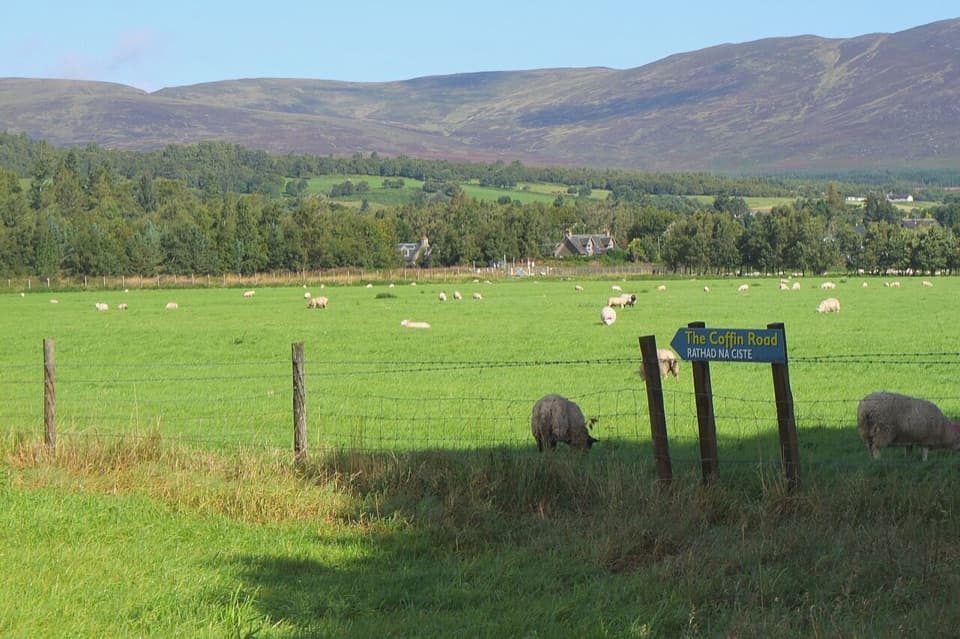 EasyThe Coffin Road, Newtonmore2.8 km · 1 hr · 1.3 km awayA short historic walk from the Spey to Banchor Cemetery.
 ModerateGlen Banchor Cart Track12.7 km · 5 hr · 2.7 km awayAn old road with river crossings and a short pathless stretch.
 ModerateCàrn an Fhreiceadain from Kingussie18.2 km · 4.5 hr · 4 km awayA long moorland loop from Kingussie to a broad Corbett summit.
 ModerateKingussie and Newtonmore via Loch Gynack11.4 km · 3 hr · 4 km awayA loch-and-moor loop linking Kingussie and Newtonmore.
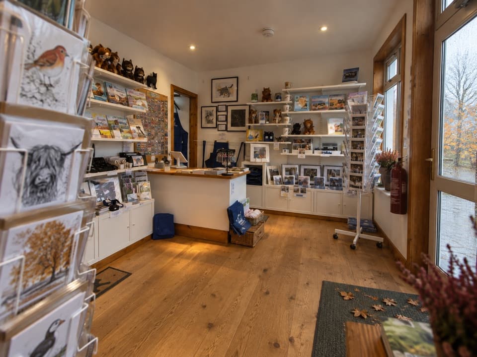 Visitor center · 0.3 km awayThe Wildcat CentrePick up a map and hunt Newtonmore’s 132 painted wildcats.
 Sight · 0.6 km awayClan Macpherson MuseumClan stories, Jacobite objects and music in a village museum.
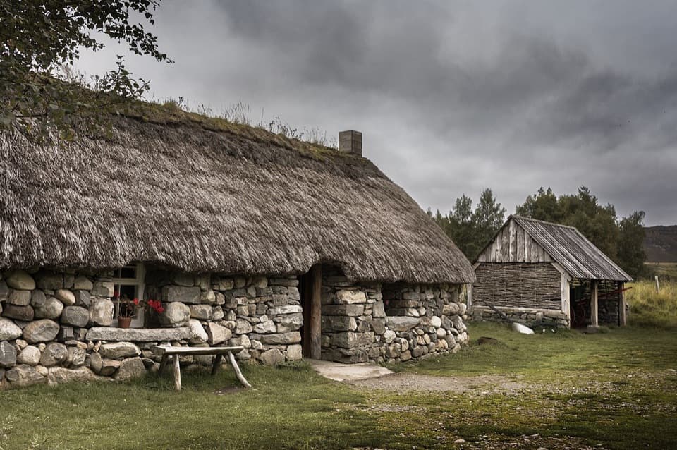 Sight · 1.2 km awayHighland Folk MuseumA reconstructed township and over 35 Highland buildings to explore.
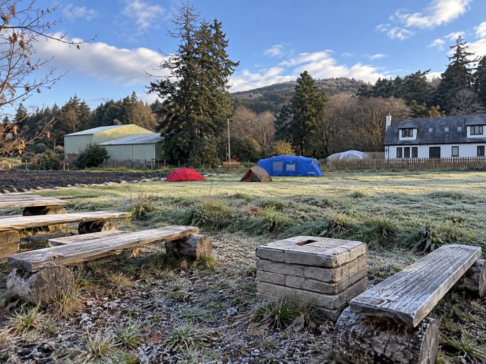 Campground · 3.7 km awayKingussie Camping & AireA practical motorhome stop beside Kingussie station.
 Sight · 4.6 km awayRuthven BarracksCulloden's aftermath is written into these roofless barracks.
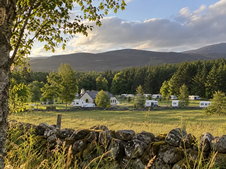 Campground · 5.1 km awayInvernahavon Caravan ParkRoomy pitches, hot showers and wooded Highland views.
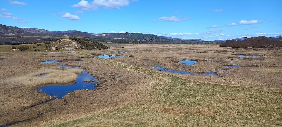 Sight · 5.7 km awayInsh MarshesA slow walk earns bird hides and wide floodplain views.
 Sight · 10.1 km awayHighland Wildlife ParkSee the reserve by car, then explore the animal habitats on foot.
Parkwolf’s Cairngorms ranking
The audio tour guide for the drive, plus offline maps, trails, and wildlife heatmaps for when the signal drops.





