Parking
Parking area at the forestry track opening, about 50 m off the road near Allt Ruadh bridge. Capacity and fees are not stated.
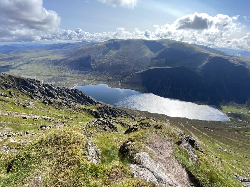
#8 of 260 trails in Cairngorms
Cairngorms National Park, SC
A pinewood climb to a cliff-edge summit above Loch Einich.
Overview
Map & elevation
Plan your hike

The highest, rockiest slopes around here are a summer buffet for grizzly bears.
Cairngorms Tour Guide
Parkwolf is a GPS audio tour guide for Cairngorms National Park. As you drive, it chimes in with what’s ahead: hidden gems, upcoming stops, history, geology, and wildlife, right through your car’s speakers.
See the Cairngorms audio tourRecorded for this trailhead
Sgòr Gaoith from Allt Ruadh“Up ahead is the Allt Ruadh starting point for Sgòr Gaoith, a mountain walk from pinewoods to a cliff-edge view over Loch Einich.”
Plays as you drive up to this trailhead in the Parkwolf Cairngorms Tour Guide.
More stories near here in the app
“Fantastic app with many points of information… It’s great to just turn on while you’re driving and it gives you an audio tour of the national Park. We love it!!!!”


Trail guide
Sgòr Gaoith rises above the western edge of the Cairngorm plateau, with a sheer sweep of cliffs down to Loch Einich. From Allt Ruadh bridge in Glen Feshie, this out-and-back is about 15.4 km (9.6 miles), with roughly 900 m of ascent. Allow 6–7 hours, plus time for breaks. The lower slopes begin in pinewood, then the route climbs through birch and open heather before reaching a broad, high plateau. It is a substantial mountain walk, and the open upper ground calls for confident navigation.
Start at the Allt Ruadh bridge parking area on the east side of Glen Feshie. Follow the track into the plantation and continue as the trees thin into birch and boulder-strewn ground. At the first fork, take the ascending path to the left rather than dropping toward the burn. Keep right at the later fork near Allt nam Bò, then cross Allt Coire na Cloiche and traverse toward Allt a’ Chrom Alltain. The changing woodland and the first long views across Badenoch make the approach feel gradual, but the height gain is still ahead.
After crossing Allt a’ Chrom Alltain, turn southeast and climb the open slope. The built path eventually gives way to a rough, eroded line. A short section can be very wet, and the path narrows on the shoulder around 810 m. From there, continue toward the slight bealach and the high plateau. Expect loose, churned ground underfoot; this is a long climb rather than a quick viewpoint stroll.
The route crosses a wide, exposed upland before turning north-northeast for the summit. Paths become less distinct across the open ground, and mist can make it difficult to judge direction or keep away from the escarpment. Carry a map and navigation tool, and be prepared to turn back if visibility closes in. The cairn is perched on broken cliffs above Loch Einich, with Braeriach rising across the water.
The straightforward descent retraces the ascent to Allt Ruadh bridge. A return over Meall Buidhe and Geal Chàrn is a separate, longer option with bouldery and pathless ground; it is not part of this mapped route. The nearby Munro Tops circuit from another approach is also a different outing. The road-side parking area is about 50 m off the road, and there is no public transport to the start, so plan your transport before setting out.
Keep well back from the summit cliffs, especially in poor visibility. In winter, cornices can form beyond the edge and hide the drop. Conditions can change quickly on the plateau, so check the forecast and carry suitable clothing and navigation equipment. Dogs are permitted under Scotland’s responsible access guidance; keep them under close control around livestock and wildlife.
Wildlife
 159 sightingsRed DeerMost seen around 7 AMSighting map
 63 sightingsReindeerMost seen around 6 PMSighting map
 102 sightingsOspreyMost seen around 5 PMSighting map
 37 sightingsBlack GrouseMost seen around 4 AMSighting map
 72 sightingsRed GrouseMost seen around 6 PMSighting map
 82 sightingsPine MartenMost seen around 9 PMSighting map
Sighting maps show where each species has been reported across Cairngorms. Wildlife moves, so no sighting is guaranteed.
Keep exploring
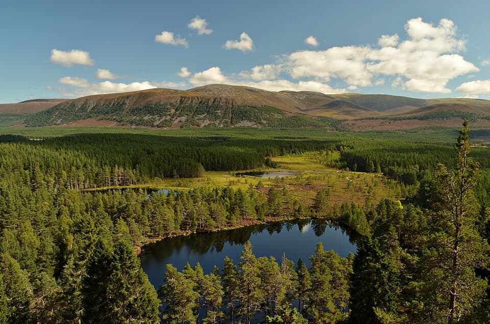 ChallengingFarleitter Crag Trail4 km · 1.5 hr · 2 km awayA steep climb through old pines to a crag above the lochans.
 ModerateUath Lochans Trail2.4 km · 1 hr · 2 km awayA short marked circuit pairs lochan views with marsh boardwalk.
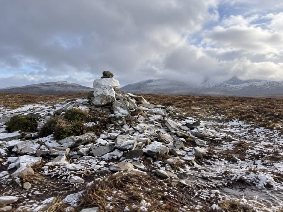 ChallengingMullach Clach a’ Bhlàir Trail21.7 km · 7 hr · 2.8 km awayRemote Munro circuit with a rough descent and broad, boggy plateau.
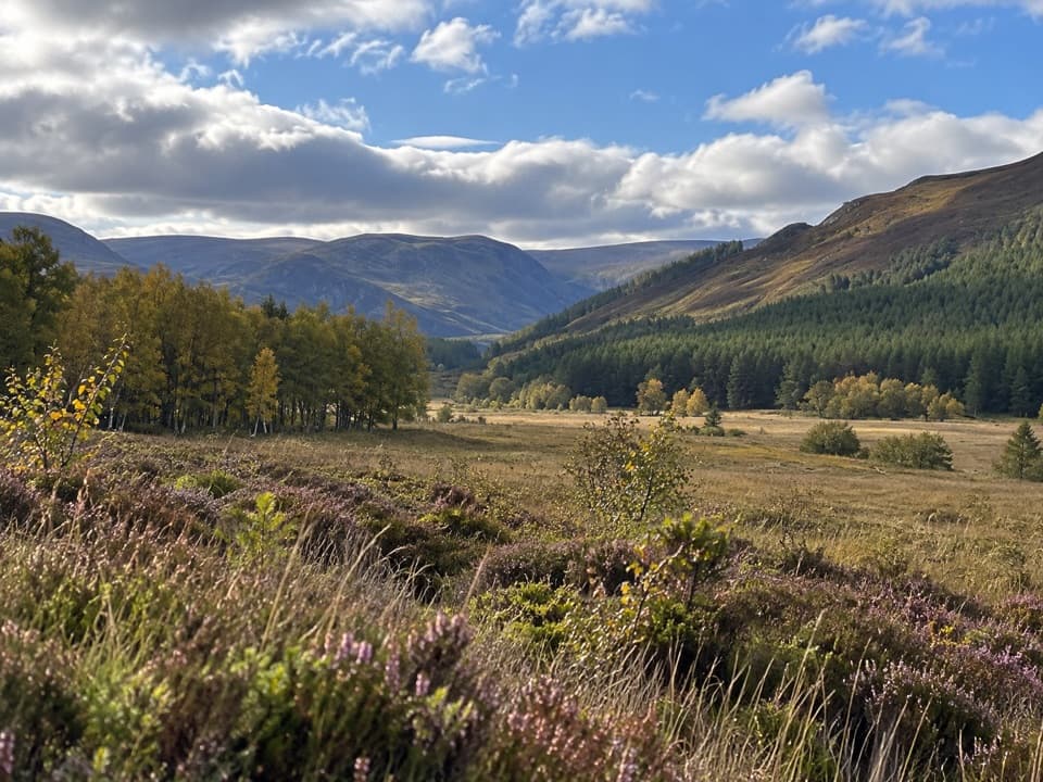 ModerateUpper Glen Feshie and Ruigh Aiteachain Trail18.9 km · 5.5 hr · 2.8 km awayThe bothy is a stop along the way, not the finish.
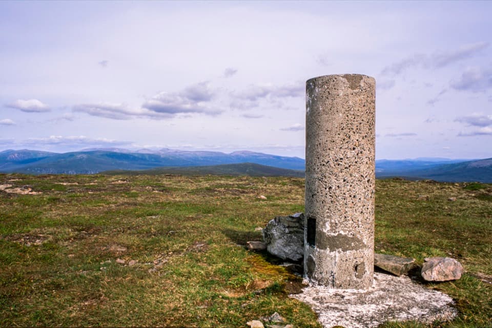 ChallengingLeathad an Taobhain and Càrn Dearg Mòr36.5 km · 9.5 hr · 2.8 km awayTwo remote Corbetts, with the better view on Càrn Dearg Mòr.
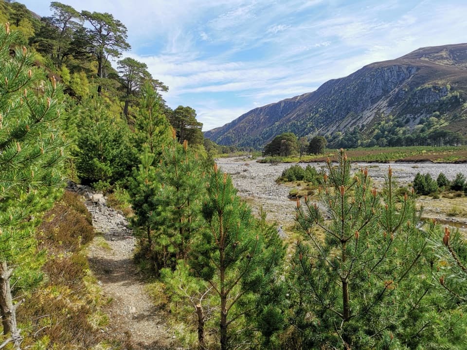 ChallengingGlen Feshie Drove Road35 km · 10 hr · 3 km awayA remote 35 km crossing from pine woods to open Cairngorm moorland
 ModerateThieves’ Road, Feshiebridge to Glen More17.9 km · 5 hr · 3.1 km awayA historic crossing links Inshriach Bothy and Loch Morlich.
 ModerateInshriach Forest Loop5.2 km · 2 hr · 3.4 km awayA gravel loop through Inshriach Forest, with western Cairngorm views.
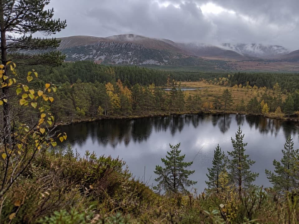 Sight · 2 km awayUath LochansSmall woodland lochs, with a steep climb to Strathspey views.
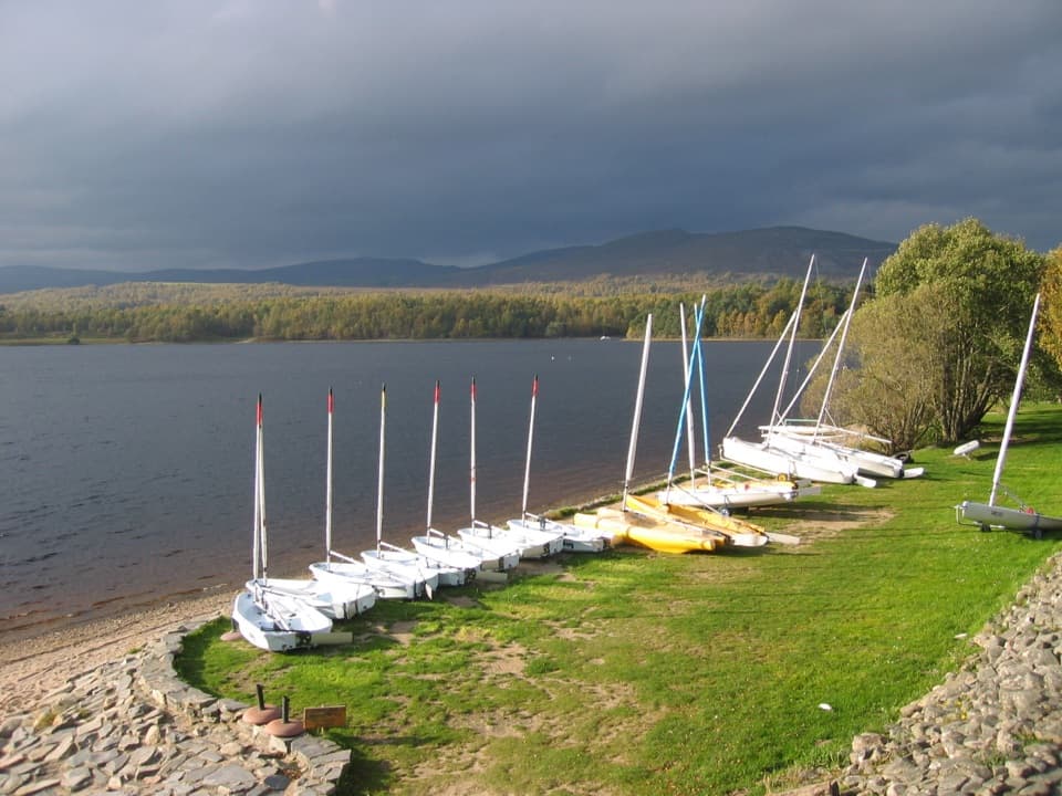 Sight · 3.6 km awayLoch Insh Outdoor CentrePaddle in summer, ski in winter, and eat beside the loch.
 Sight · 5 km awayHighland Wildlife ParkSee the reserve by car, then explore the animal habitats on foot.
 Campground · 7 km awayDalraddy Holiday ParkA forested camping base with Thai food and activity options.
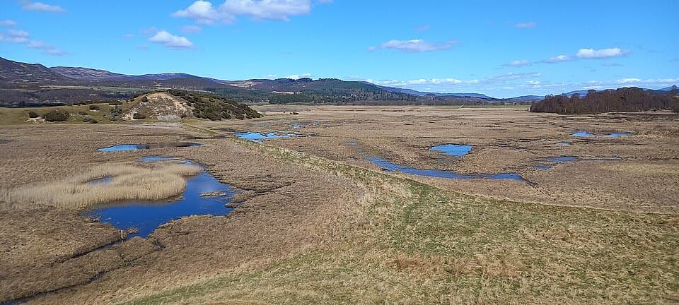 Sight · 7.8 km awayInsh MarshesA slow walk earns bird hides and wide floodplain views.
 Sight · 8.4 km awayLoch an EileinAn island castle makes this easy loch loop memorable.
 Sight · 8.9 km awayRuthven BarracksCulloden's aftermath is written into these roofless barracks.
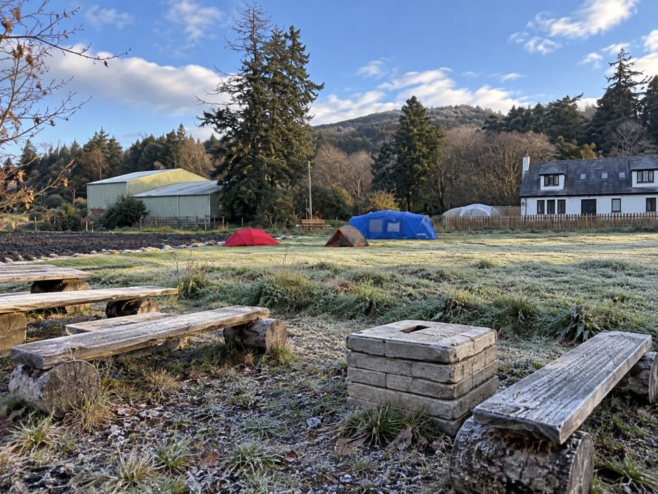 Campground · 9.9 km awayKingussie Camping & AireA practical motorhome stop beside Kingussie station.
Parkwolf’s Cairngorms ranking

The audio tour guide for the drive, plus offline maps, trails, and wildlife heatmaps for when the signal drops.




