1 active Cuyahoga Valley alert
- ClosureCuyahoga River closure and paddling hazardsDo not paddle through the river-mile-17 closure or the woody-debris hazard upstream of Lock 39.Official details
Sight · Cuyahoga Valley National Park
A canal lock with a family's account of the 1913 flood.
Photo: NPS / Arrye Rosser
Overview
Map
Plan your stop

The highest, rockiest slopes around here are a summer buffet for grizzly bears.
Cuyahoga Valley Tour Guide
Parkwolf is a GPS audio tour guide for Cuyahoga Valley National Park. As you drive, it chimes in with what’s ahead: hidden gems, upcoming stops, history, geology, and wildlife, right through your car’s speakers.
See the Cuyahoga Valley audio tourRecorded for this area
A Heron’s Sudden Strike“A great blue heron standing still at the water's edge is worth watching. It may be hunting, waiting for prey to come within reach before snapping its long neck forward.”
Plays on the road 0.6 mi from Lock 35 in the Parkwolf Cuyahoga Valley Tour Guide.
More stories near here in the app
“Fantastic app with many points of information… It’s great to just turn on while you’re driving and it gives you an audio tour of the national Park. We love it!!!!”


Guide
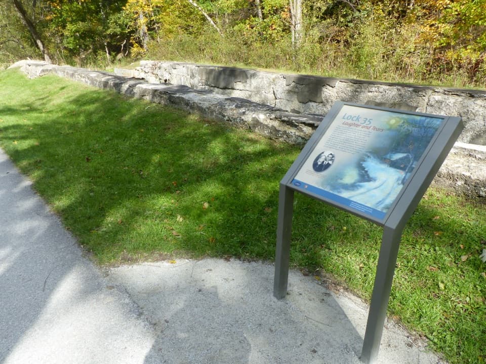
Lock 35 is a historic Ohio & Erie Canal lock just south of Station Road Bridge. Stop for the old masonry and a graphic panel about the Murphy family who farmed here. This is a small history stop that pairs well with a Towpath walk. To reach it, park at Station Road Bridge Trailhead at 9141 Riverview Road, cross the bridge and walk south on the Towpath Trail. It is listed as wheelchair accessible, though the directions do not give the walk's distance or describe the trail surface.
Locks controlled water levels and worked like hydraulic elevators, raising or lowering boats between stretches of canal. The Ohio & Erie Canal connected Ohio farms with growing East Coast cities; small farms in the valley shipped their products by canal.
The Murphy family had a farm here. Paul Murphy wrote about growing up beside the canal, including his family's escape during the Great Flood of March 1913. The flood hit Ohio hard and helped bring the canal era to a close. The interpretive panel uses quotes and images shared by Murphy's descendants, giving the old lock a personal story alongside its transportation history.
Wildlife
 321 sightingsBald EagleMost seen around 7 AMSighting map
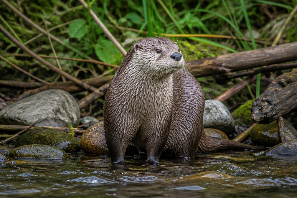 12 sightingsRiver OtterMost seen around 7 AMSighting map
 103 sightingsCoyoteMost seen around 7 PMSighting map
 251 sightingsBeaverMost seen around 8 PMSighting map
 498 sightingsWhite-tailed DeerMost seen around 6 AMSighting map
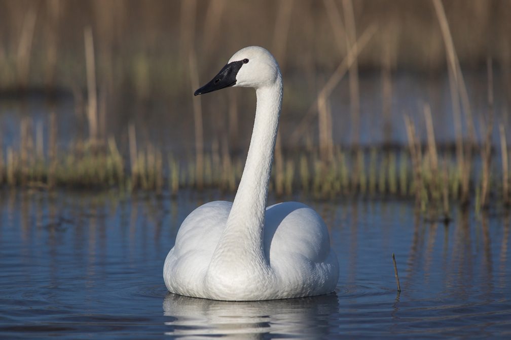 104 sightingsTrumpeter SwanMost seen around 5 PMSighting map
Sighting maps show where each species has been reported across Cuyahoga Valley. Wildlife moves, so no sighting is guaranteed.
Keep exploring
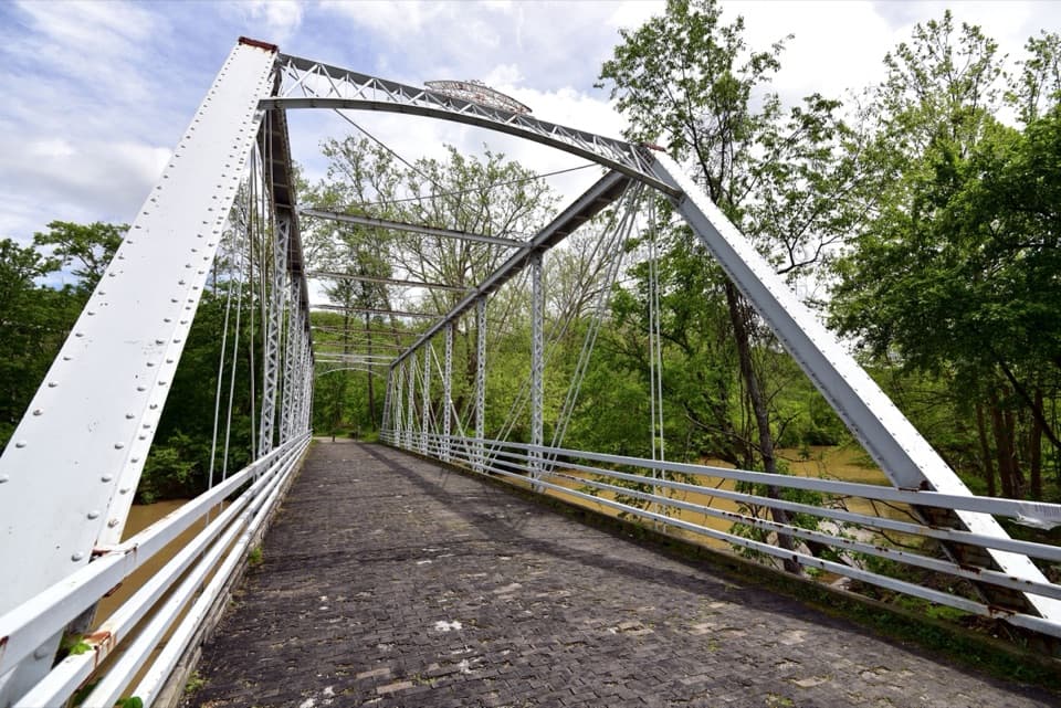 ModerateBuckeye and Towpath Loop: Station Road Bridge to Red Lock10.3 mi · 5.5 hr · 0.7 mi awayBuckeye hills and a canal-side Towpath make one varied loop.
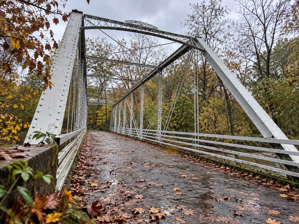 EasyStation Road Bridge to Mudcatcher Walk1.5 mi · 45 min · 0.7 mi awayA short river loop over an iron bridge and through canal history.
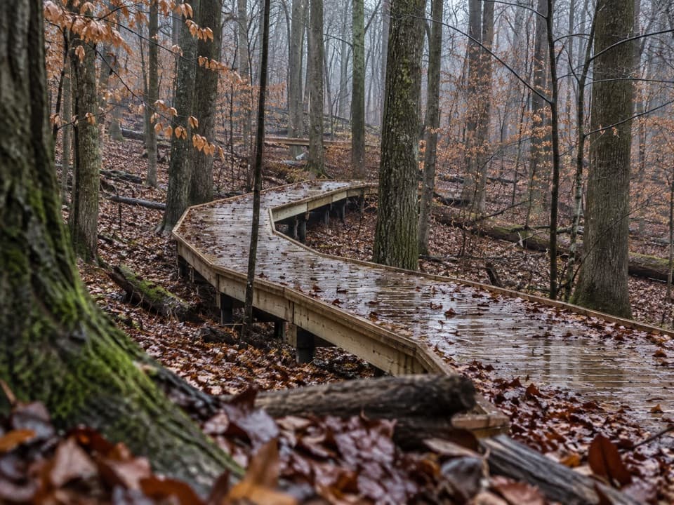 EasyMy Mountain Trail0.6 mi · 30 min · 0.9 mi awaySeven crossings and a boardwalk lead to a wooded valley overlook.
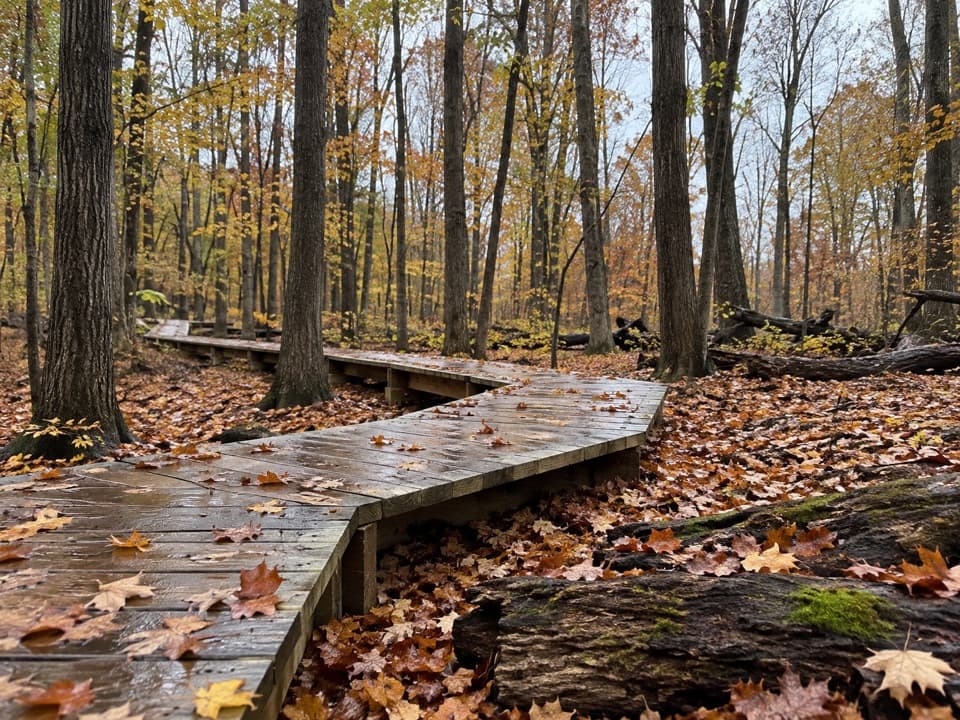 ModerateWhite Oak Trail Loop1.4 mi · 1 hr · 1.2 mi awayA short loop drops from the ridge into forested ravines.
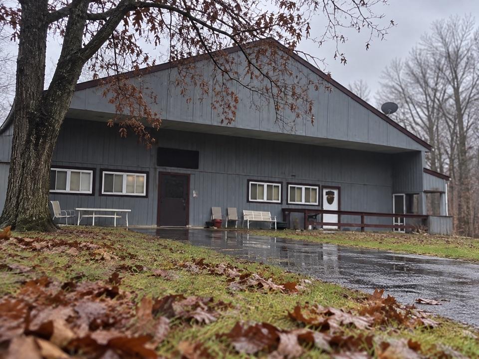 EasySouth Bridle Loop1.6 mi · 1 hr · 1.5 mi awayA short bridle loop beside Brecksville Stables.
 ChallengingValley Trail14.5 mi · 7 hr · 1.5 mi awayA long shared-use route from Brecksville toward Everett.
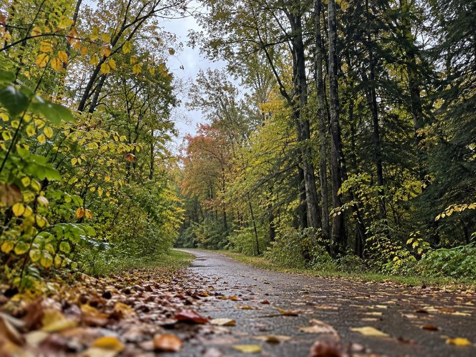 ModerateParkway Bridle Trail9.3 mi · 4.7 hr · 1.5 mi awayA long, mixed-surface bridle corridor shared by hikers and horses.
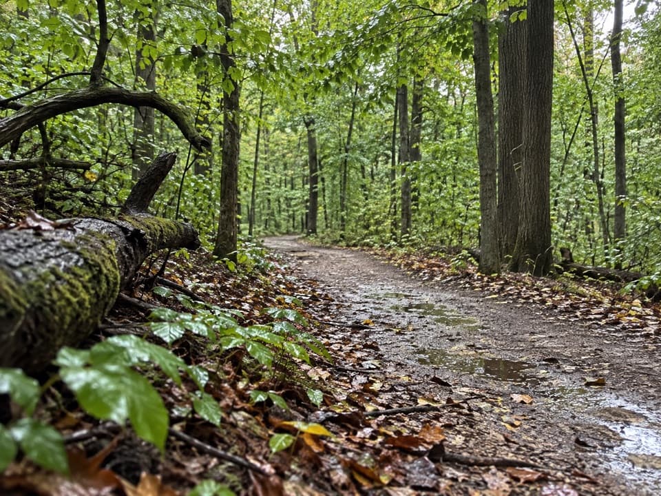 ModerateOld Carriage Trail5.3 mi · 2.5 hr · 1.8 mi awayA rocky forest loop, with a canal-side start and an old earthwork.
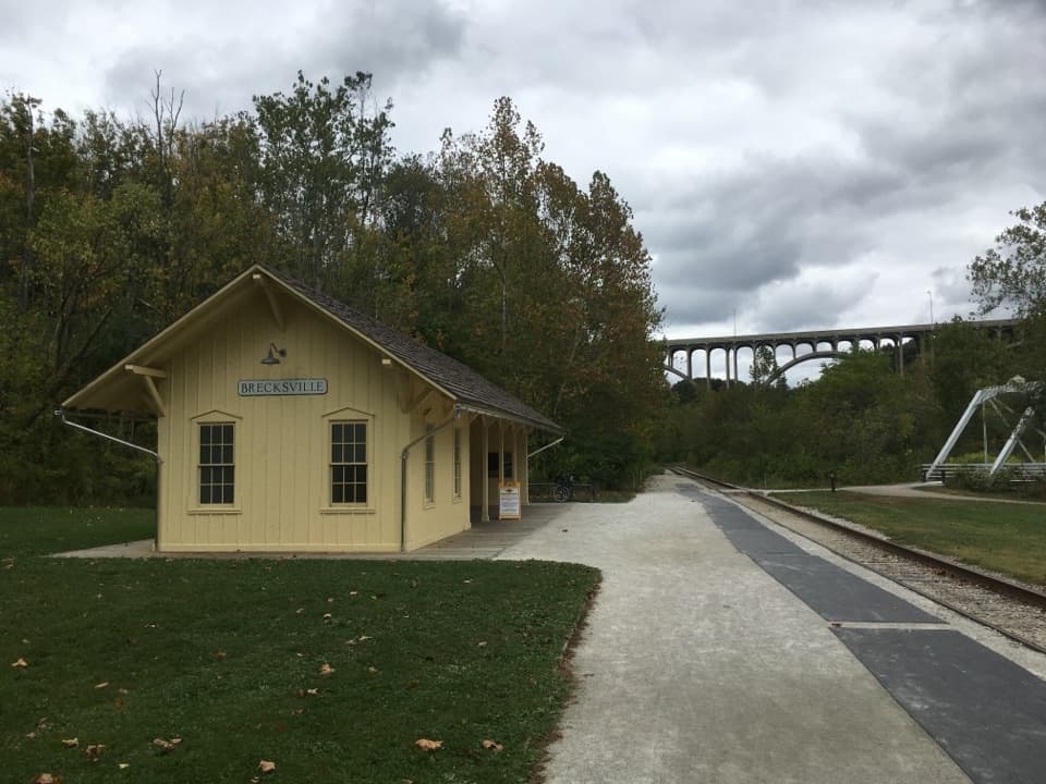 Sight · 0.7 mi awayBrecksville StationA useful flag stop for a one-way train-and-trail outing.
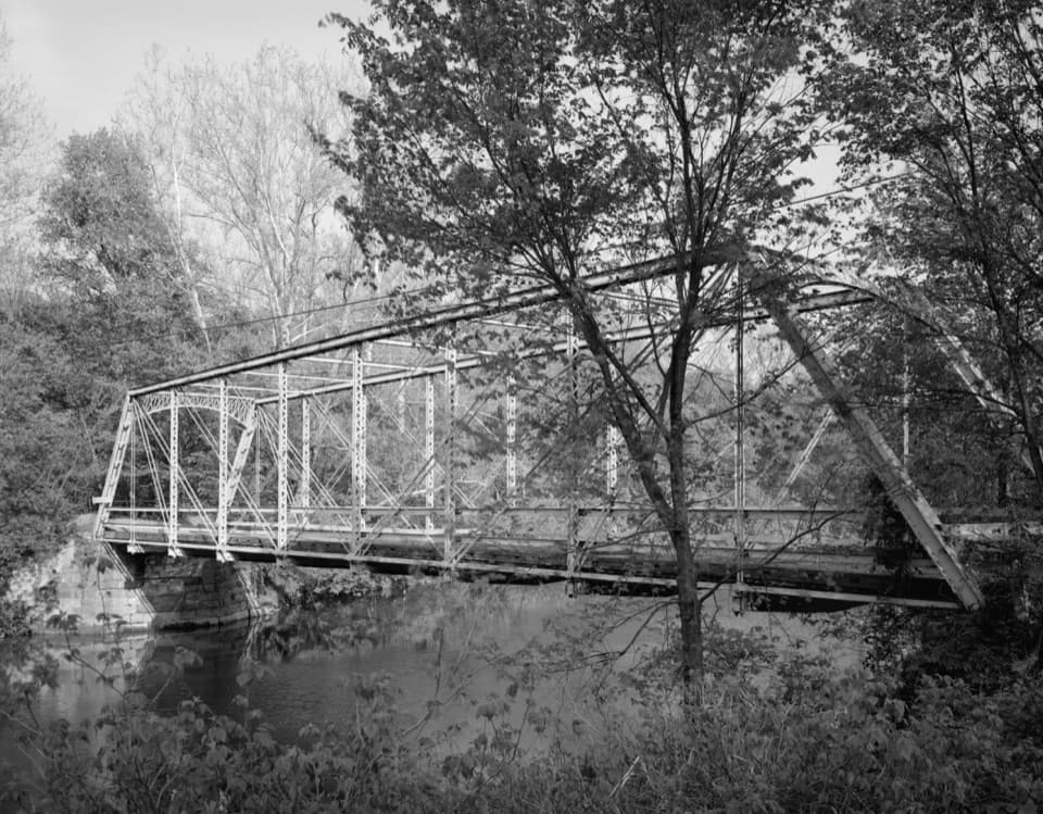 Sight · 0.7 mi awayStation Road BridgeWalk an 1881 iron bridge and catch Route 82's arches beyond it.
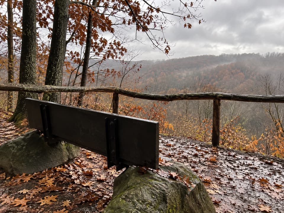 Sight · 0.8 mi awayMy Mountain OverlookA quiet bench stop above Chippewa Creek, best in leaf-off season.
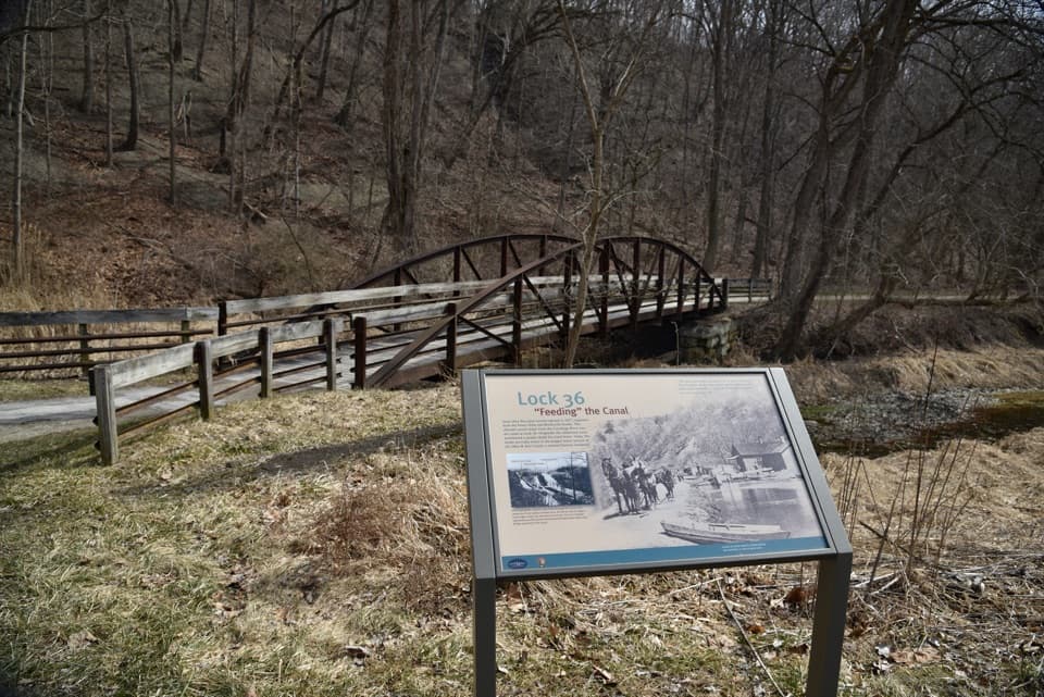 Sight · 0.9 mi awayLock 36Lock remains reveal how canal engineers kept boats moving.
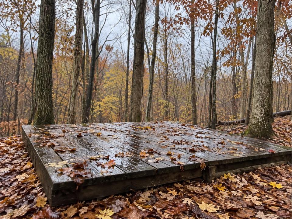 Campground · 0.9 mi awayOttawa Overlook Backcountry SitesThree hike-in tent sites share a basic backcountry kitchen
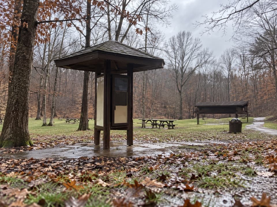 Picnic area · 1 mi awayPlateau Picnic AreaA shaded picnic stop with trails close by.
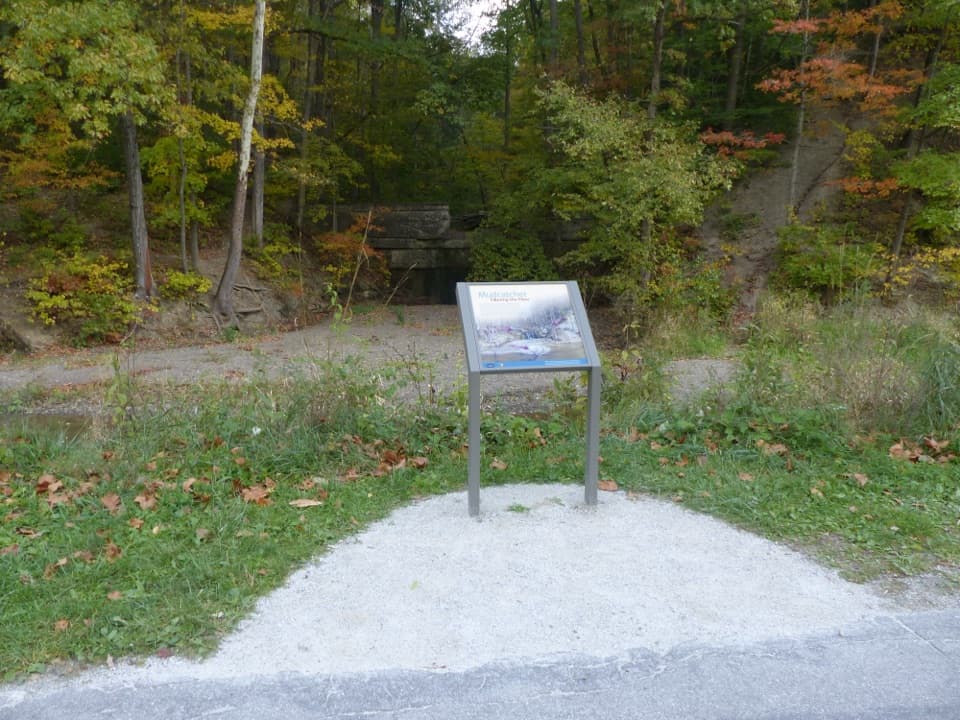 Sight · 1 mi awayMudcatcher FallsA small canal-side cascade built to trap hillside sediment
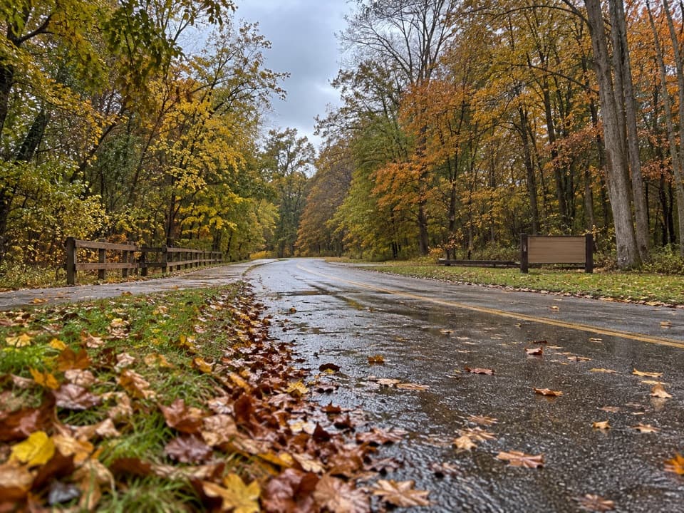 Picnic area · 1.1 mi awayLower Chippewa Creek Picnic AreaA shaded picnic stop beside the creek, close to nearby walks.
Parkwolf’s Cuyahoga Valley ranking

The audio tour guide for the drive, plus offline maps, trails, and wildlife heatmaps for when the signal drops.