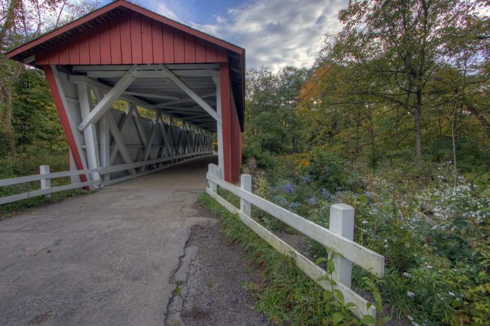
Lock 36 in Cuyahoga Valley National Park

Sight · Cuyahoga Valley National Park

Lock 36

Lock remains reveal how canal engineers kept boats moving.

Type
Sight
Nearest trail
0.3 mi
Audio stories
14 nearby
  • Trailhead
  • Parking
  • Exhibit
  • Restrooms

Hear the audio tour

Station Road Bridge

Overview

About Lock 36

Why stop

  • The Pinery Feeder adds a water-supply story to the lock itself.

Heads up

  • The chamber was filled in, so visitors see remains rather than an intact lock.

Map

Where it is

Loading the Cuyahoga Valley map
Full map
SightLock 3641.32294, -81.58656
Keep this map with you offline in the Parkwolf app

Plan your stop

Before you go

3 active Cuyahoga Valley alerts

  • ClosureTowpath Trail improvement closureMentions Towpath Trail, referenced in this guideThe Ohio & Erie Canal Towpath Trail from Boston Trailhead to Lock 29 in Peninsula is closed for improvements during the August 24–November 20, 2026 closure period.Official details
  • CautionCuyahoga River paddling closure and hazardsMentions Cuyahoga River, referenced in this guidePaddlers must portage the current river-wide closure near river mile 17 and avoid serious river hazards. - The closure is due to bridge demolition and construction.Official details
See all 3 alerts
A park ranger sits on a dash-mounted phone, talking, as Parkwolf’s Tour Guide plays “Army Cutworm Moths: A Grizzly Bear Buffet” on Grand Loop Road below Dunraven Pass in Yellowstone
Parkwolf Tour GuideThe highest, rockiest slopes around here are a summer buffet for grizzly bears.

Cuyahoga Valley Tour Guide

Your drive to Lock 36, narrated.

Parkwolf is a GPS audio tour guide for Cuyahoga Valley National Park. As you drive, it chimes in with what’s ahead: hidden gems, upcoming stops, history, geology, and wildlife, right through your car’s speakers.

Recorded for this place

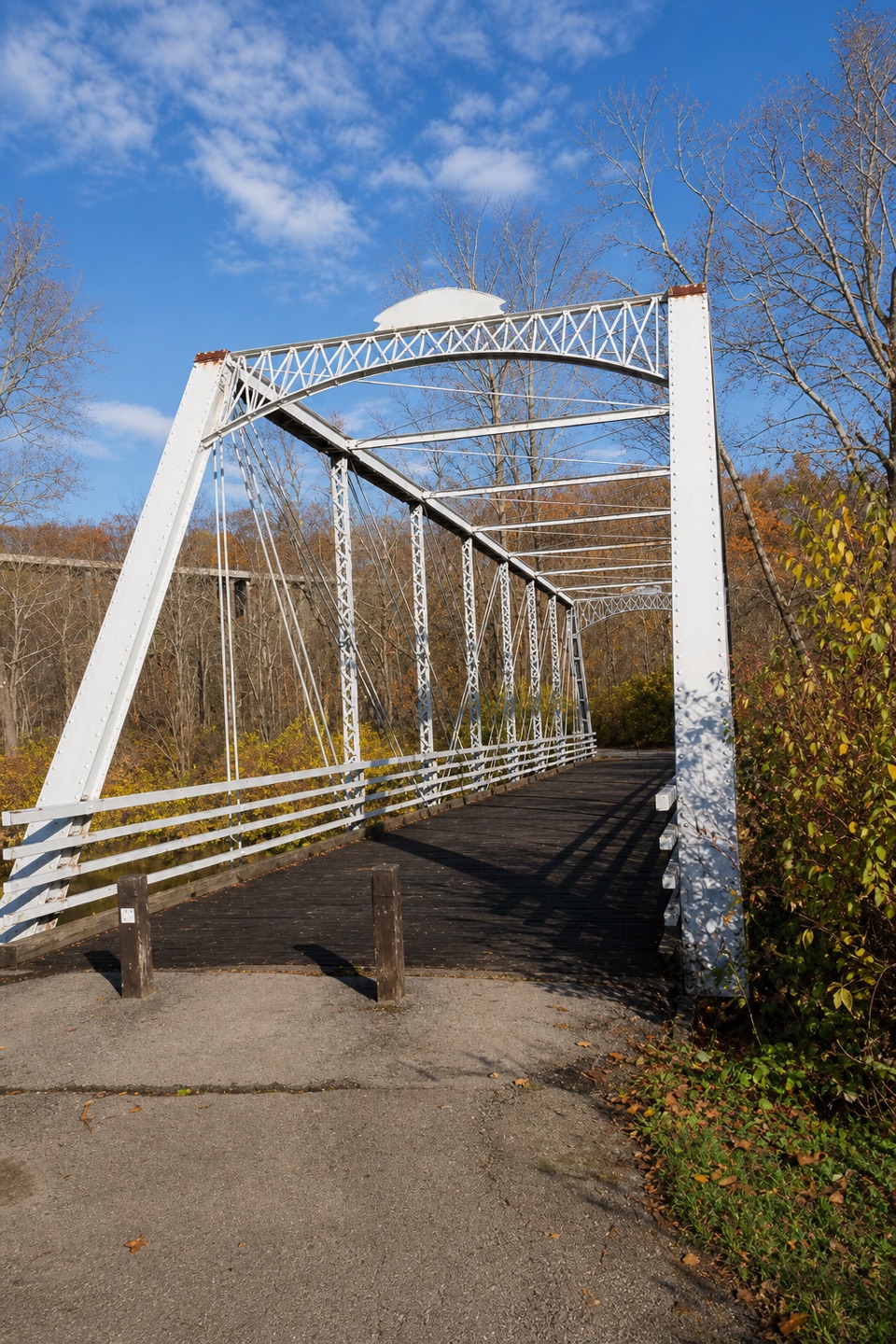
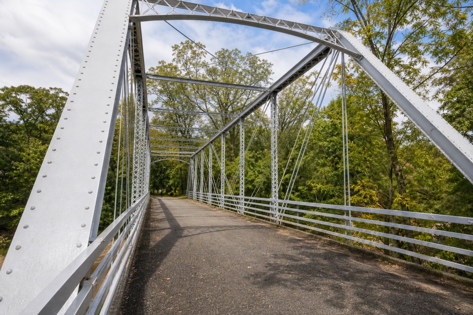
Station Road Bridge
0:00 / 0:32
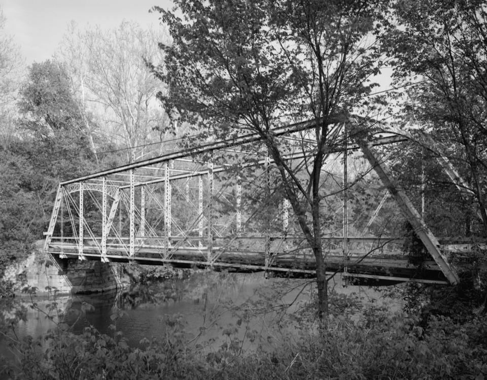
“Station Road Bridge is coming up, where a short walk onto the old iron span gives you a view of the Cuyahoga River. It once carried cars, but they moved to the separate Route Eighty-Two bridge in nineteen thirty-one.”

Plays as you drive up to Lock 36 in the Parkwolf Cuyahoga Valley Tour Guide.

More stories near here in the app

  • Breathing Through the Skin
  • A River Without the Dams
  • Plateau Picnic Area and My Mountain
  • How a Boat Climbed the Canal
  • 97 audio storiesacross Cuyahoga Valley’s roads, triggered by GPS as you drive
  • Wildlife heatmapsfor Bald Eagle, River Otter, Coyote, and 13 more
  • Works offlinemaps, 63 trails, 88 places, and audio download before you lose signal
  • CarPlay readysimple controls built for the drive
★★★★★
“Fantastic app with many points of information… It’s great to just turn on while you’re driving and it gives you an audio tour of the national Park. We love it!!!!”
JMJamesApp Store review
Download Parkwolf on the App StoreGet Parkwolf on Google Play

4.7 from 8,600+ ratings

Guide

More about Lock 36

Start at Station Road BridgeLock 36 is the surviving remains of a lock on the Ohio & Erie Canal in Cuyahoga Valley's Pinery…

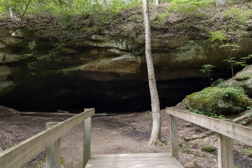
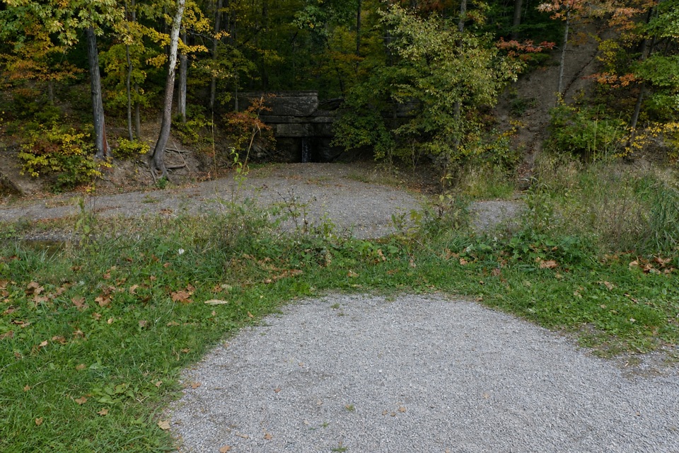
Lock 36 is the surviving remains of a lock on the Ohio & Erie Canal in Cuyahoga Valley's Pinery Narrows. It sits beside the Towpath Trail, just north of Station Road Bridge, and is a modest historic stop rather than an intact chamber or major attraction. It suits a walk where canal engineering interests you; if you're short on time and want a headline waterfall or viewpoint, this isn't the park's priority stop.

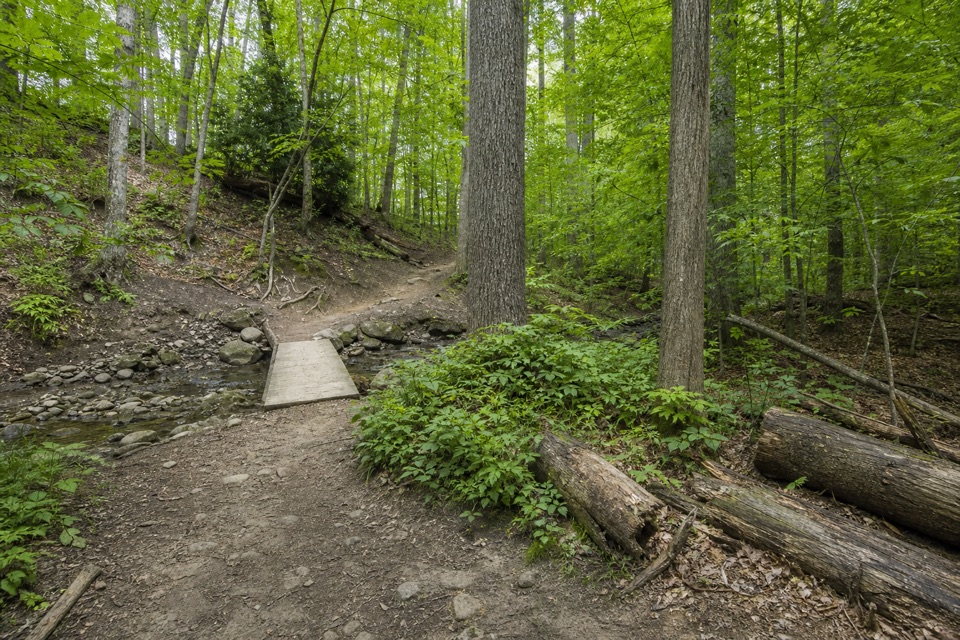
Park at Station Road Bridge Trailhead, cross the historic bridge, and follow the Towpath north. It is marked wheelchair accessible, but the path surface or grade from the trailhead is not described, so that label alone does not explain the approach. The trailhead has public restrooms and drinking water; no food service is listed at the lock.

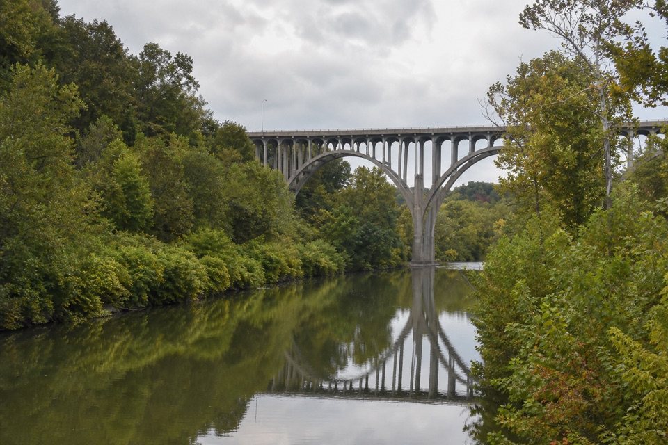
How the lock workedCanal locks acted like water elevators: adding or releasing water let boats move between…

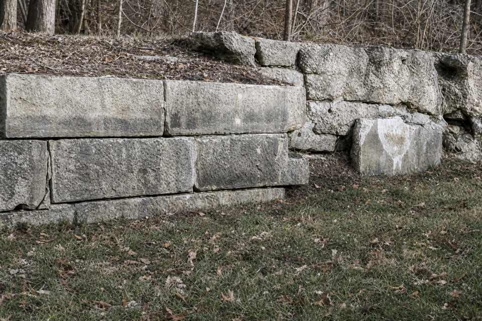
Canal locks acted like water elevators: adding or releasing water let boats move between sections at different levels. Locks here were built from carved sandstone and lined with clay to limit leaks. The Ohio & Erie Canal opened in 1827, and keeping a navigable depth through the valley took careful water management.

The Pinery Feeder's water supplyThe nearby Pinery Feeder was built to carry Cuyahoga River water into this reach and keep the…

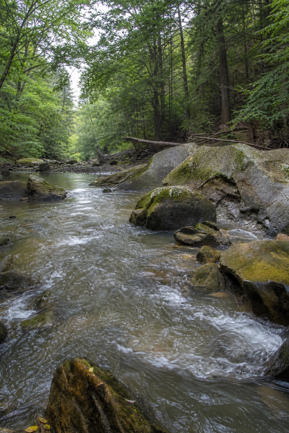
The nearby Pinery Feeder was built to carry Cuyahoga River water into this reach and keep the canal deep enough for boats, about four feet. The lock and feeder explain two sides of the same system: the chamber handled changes in level, while the feeder replenished the channel. Pinery Narrows recalls the pine trees once common in this narrow part of the valley.

The old wooden feeder dam and later concrete Brecksville Diversion Dam were removed during river restoration in 2020. A modern screw pump now helps manage water levels in the canal, so the historic feeder story is not a claim that the original dams still stand.

What remainsA local historical marker says the lock chamber was reportedly filled during construction of…

A local historical marker says the lock chamber was reportedly filled during construction of the nearby high-level bridge in the 1930s. That helps explain why this is a look at remains, not a chamber to walk through. For a photo, frame the surviving stonework with a strip of Towpath to show how the lock sat beside the canal route. The trail continues north and south; a horse trail branches off about half a mile north.

Wildlife

Wildlife in Cuyahoga Valley

All Cuyahoga Valley wildlife maps

Sighting maps show where each species has been reported across Cuyahoga Valley. Wildlife moves, so no sighting is guaranteed.

Keep exploring

Near Lock 36

See it all on the map

Trails nearby

More stops nearby

Parkwolf’s Cuyahoga Valley ranking

Top sights in Cuyahoga Valley

All 88 places
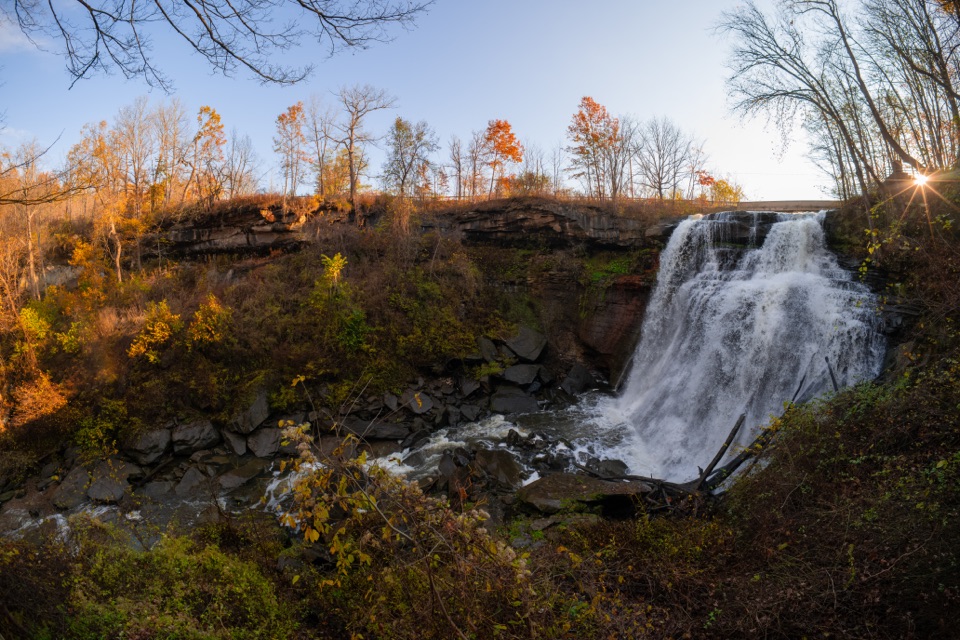
  1. 1Brandywine FallsSight
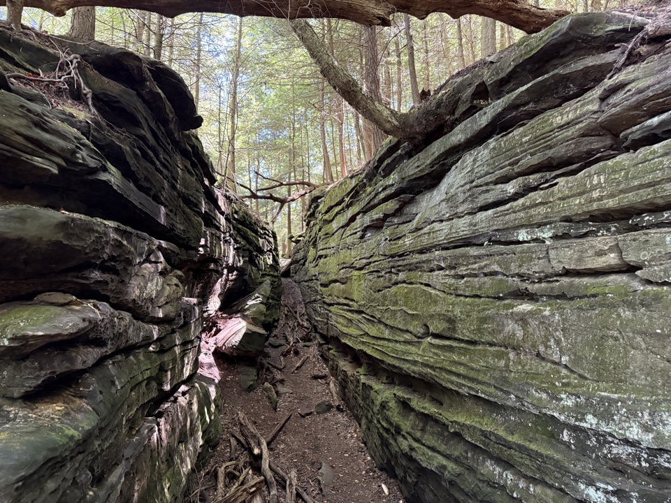
  2. 2The LedgesSight
  3. 3Beaver MarshSight
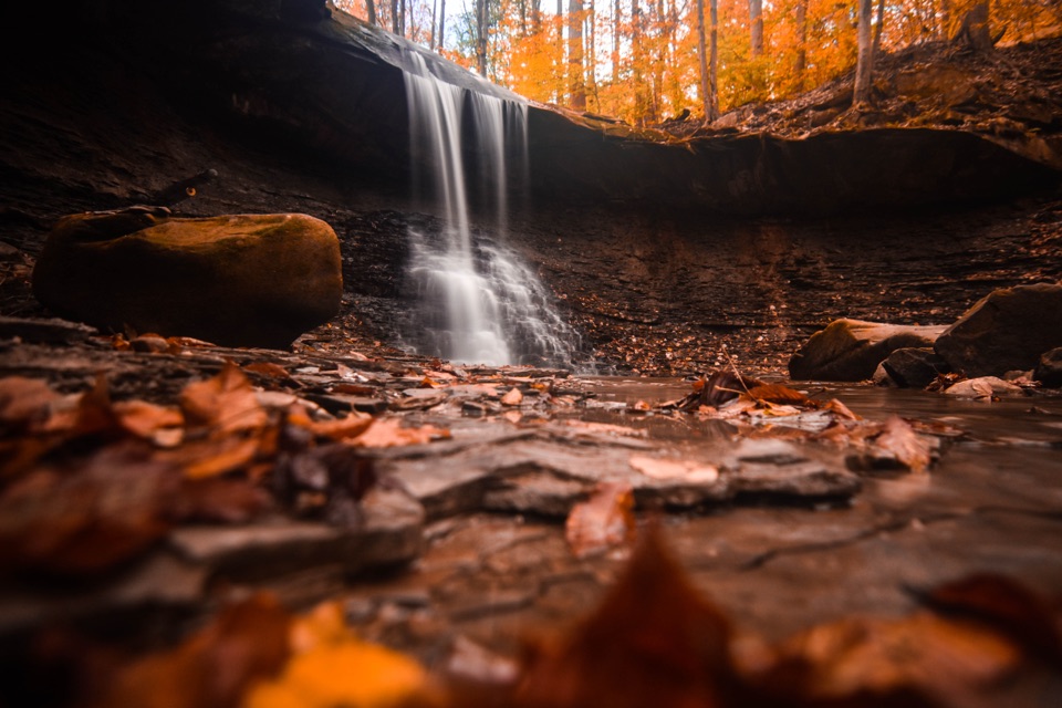
  4. 4Blue Hen FallsSight
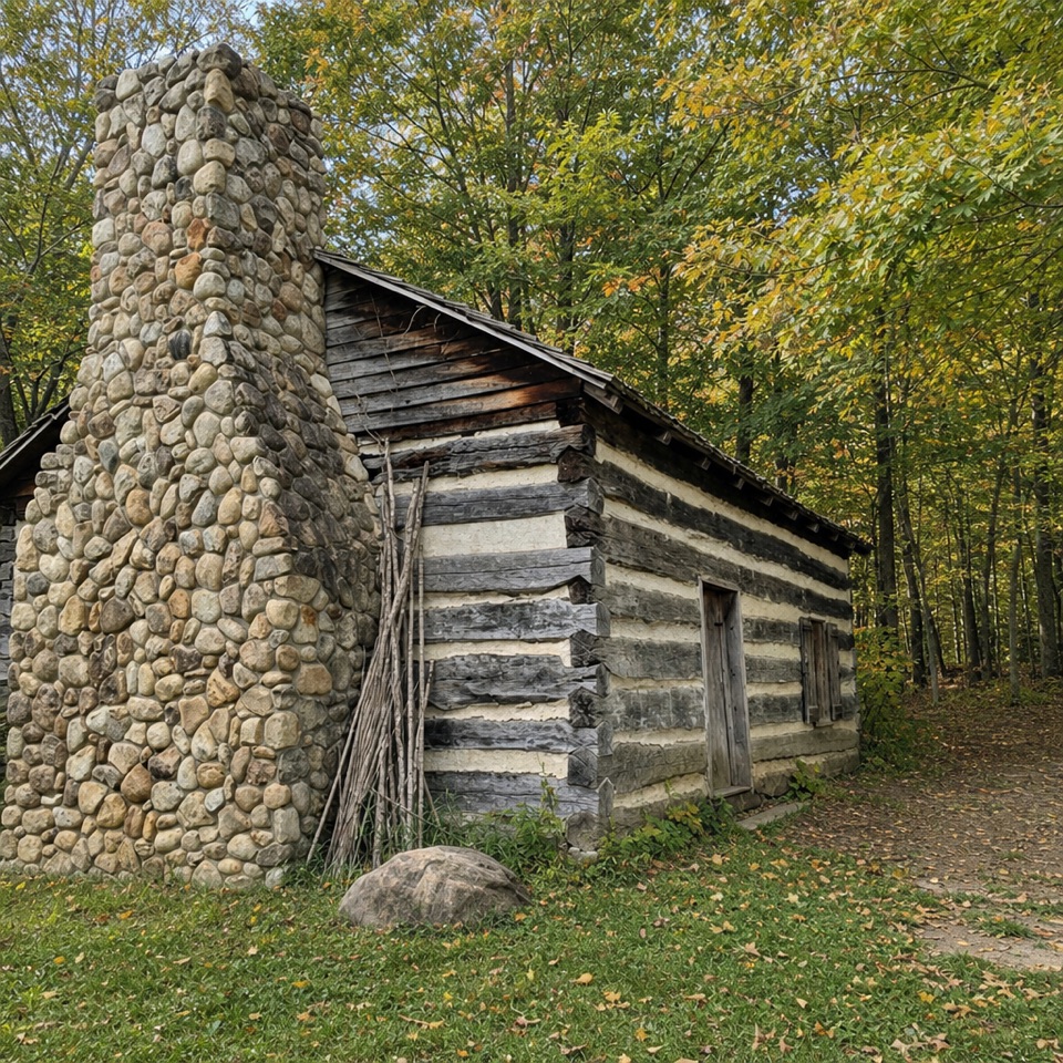
  5. 5Hale Farm & VillageSight
  6. 6Everett Covered BridgeSight

Take Parkwolf to Cuyahoga Valley.

The audio tour guide for the drive, plus offline maps, trails, and wildlife heatmaps for when the signal drops.

4.7 from 8,600+ ratings

Download Parkwolf on the App StoreGet Parkwolf on Google Play