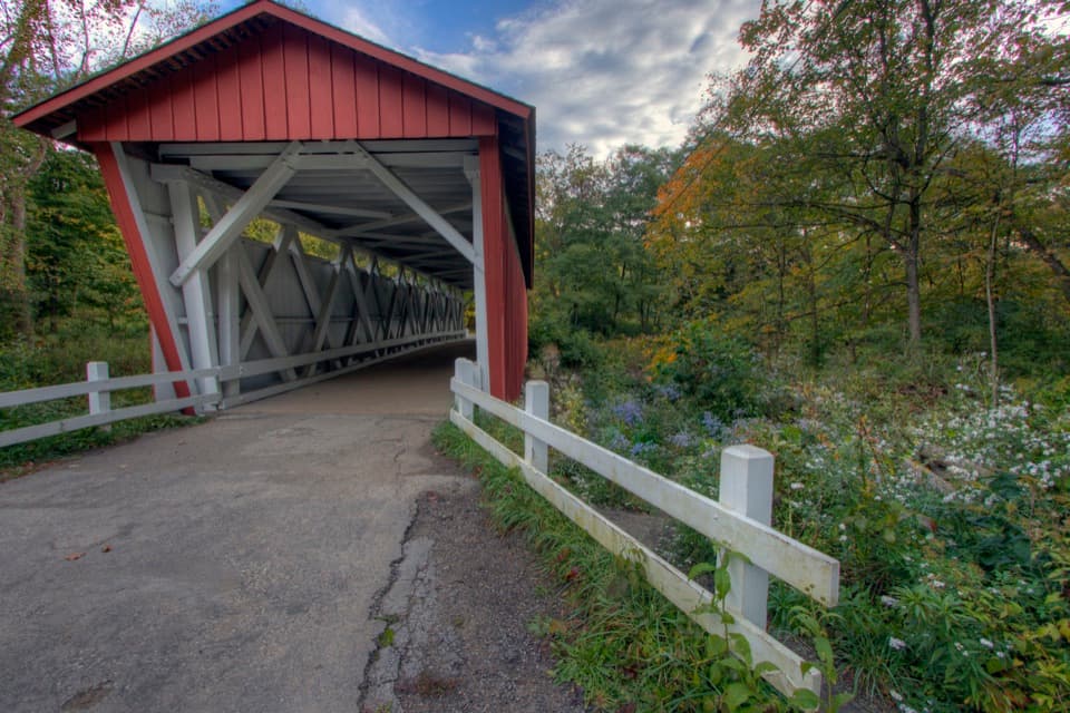
Station Road Bridge in Cuyahoga Valley National Park

Sight · Cuyahoga Valley National Park

Station Road Bridge

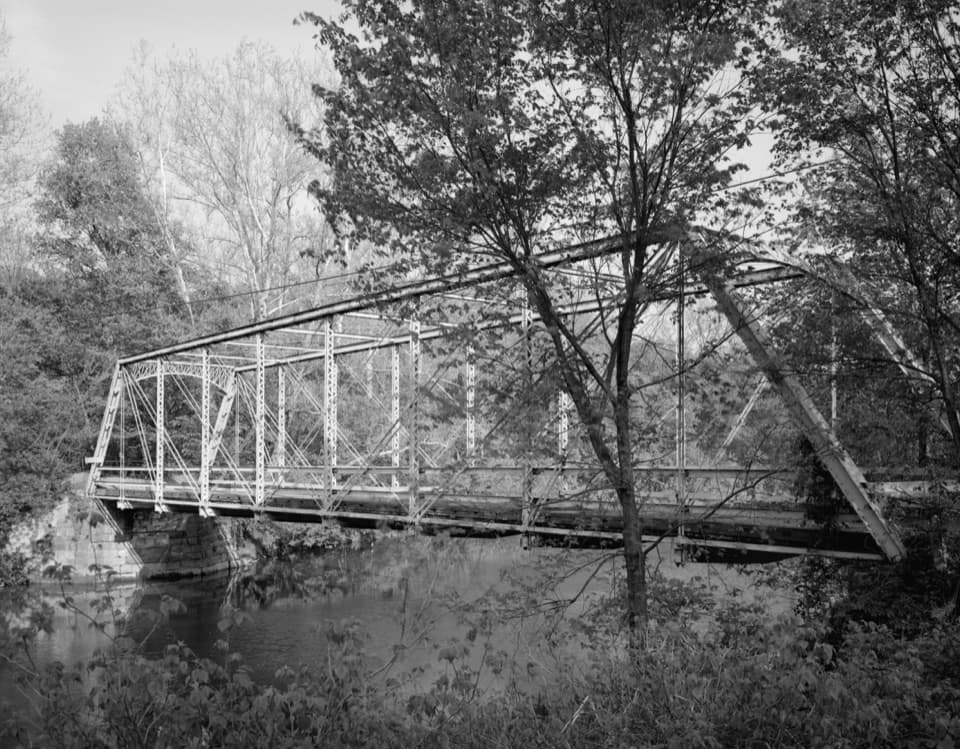
Walk an 1881 iron bridge and catch Route 82's arches beyond it.

Photo: Wikimedia Commons
Type
Sight
Nearest trail
Right here
Audio stories
14 nearby
  • Trailhead
  • Parking
  • Restrooms
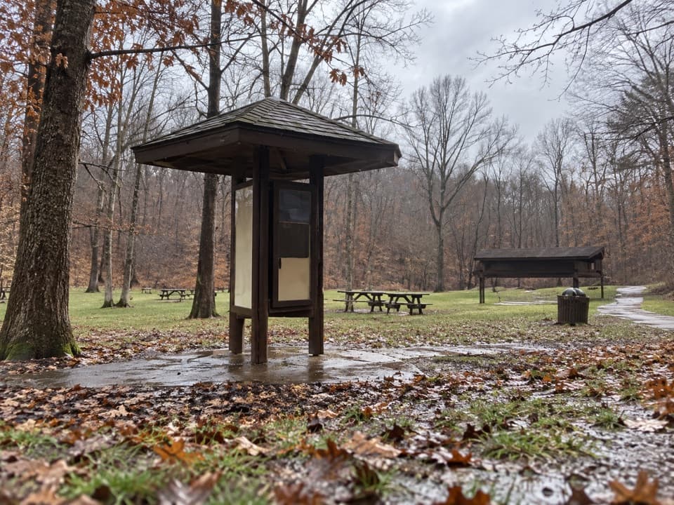
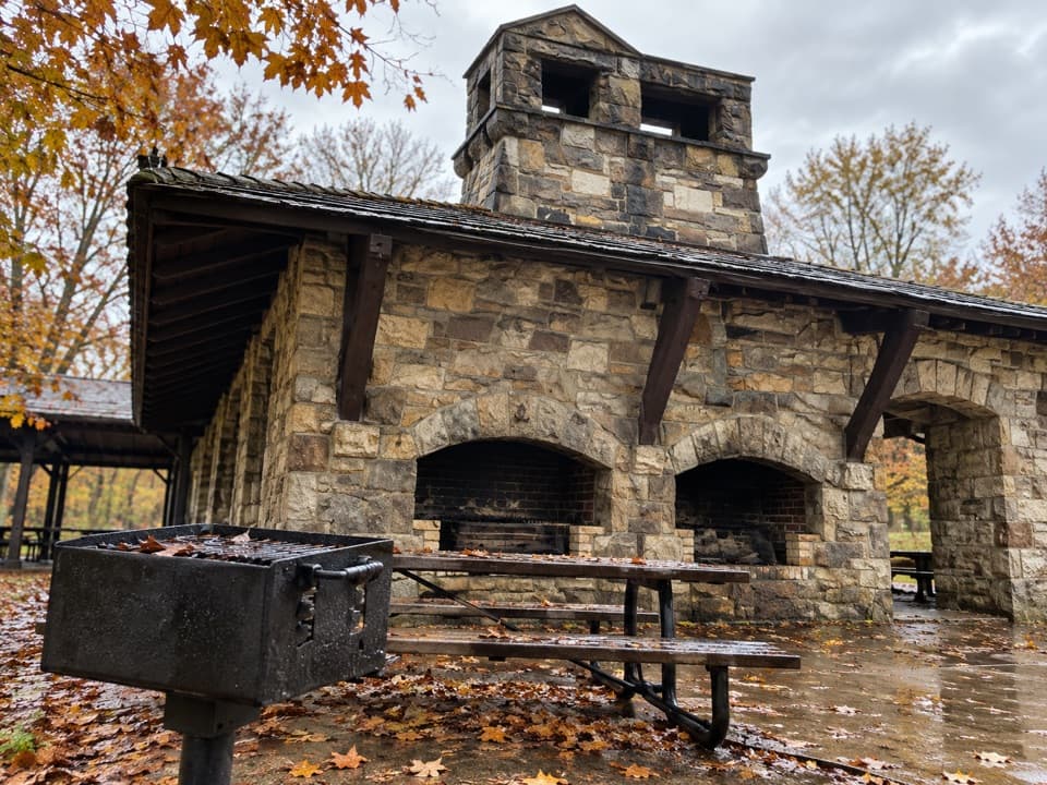
  • Picnic tables
  • #13 of 58 sights

Hear the audio tour

Station Road Bridge

Overview

About Station Road Bridge

Why stop

  • A Towpath stop with bridge views and two useful history panels.

Map

Where it is

Loading the Cuyahoga Valley map
Full map
SightStation Road Bridge41.31933, -81.58755
Keep this map with you offline in the Parkwolf app

Plan your stop

Before you go

5 active Cuyahoga Valley alerts

  • ClosureStation Road Bridge Trailhead parking-lot repairsMentions this placeStation Road Bridge Trailhead parking lot will close for short periods for maintenance work in late October; specific dates are still TBD.Official details
  • CautionCuyahoga River closure and paddling hazardsMentions Cuyahoga River, referenced in this guidePaddlers must portage around the active river-wide closure near river mile 17, caused by bridge demolition and construction.Official details
See all 5 alerts
A park ranger sits on a dash-mounted phone, talking, as Parkwolf’s Tour Guide plays “Army Cutworm Moths: A Grizzly Bear Buffet” on Grand Loop Road below Dunraven Pass in Yellowstone
Parkwolf Tour GuideThe highest, rockiest slopes around here are a summer buffet for grizzly bears.

Cuyahoga Valley Tour Guide

Your drive to Station Road Bridge, narrated.

Parkwolf is a GPS audio tour guide for Cuyahoga Valley National Park. As you drive, it chimes in with what’s ahead: hidden gems, upcoming stops, history, geology, and wildlife, right through your car’s speakers.

See the Cuyahoga Valley audio tour

Recorded for this place

Station Road Bridge
0:00 / 0:32
“Station Road Bridge is coming up, where a short walk onto the old iron span gives you a view of the Cuyahoga River. It once carried cars, but they moved to the separate Route Eighty-Two bridge in nineteen thirty-one.”

Plays as you drive up to Station Road Bridge in the Parkwolf Cuyahoga Valley Tour Guide.

More stories near here in the app

  • Breathing Through the Skin
  • Plateau Picnic Area and My Mountain
  • A River Without the Dams
  • How a Boat Climbed the Canal
  • 97 audio storiesacross Cuyahoga Valley’s roads, triggered by GPS as you drive
  • Wildlife heatmapsfor Bald Eagle, River Otter, Coyote, and 13 more
  • Works offlinemaps, 63 trails, 88 places, and audio download before you lose signal
  • CarPlay readysimple controls built for the drive
★★★★★
“Fantastic app with many points of information… It’s great to just turn on while you’re driving and it gives you an audio tour of the national Park. We love it!!!!”
JMJamesApp Store review
Download Parkwolf on the App StoreGet Parkwolf on Google Play

4.7 from 8,600+ ratings

Guide

More about Station Road Bridge

Walk the iron spanStation Road Bridge is a historic wrought-iron crossing for hikers, cyclists and horseback…

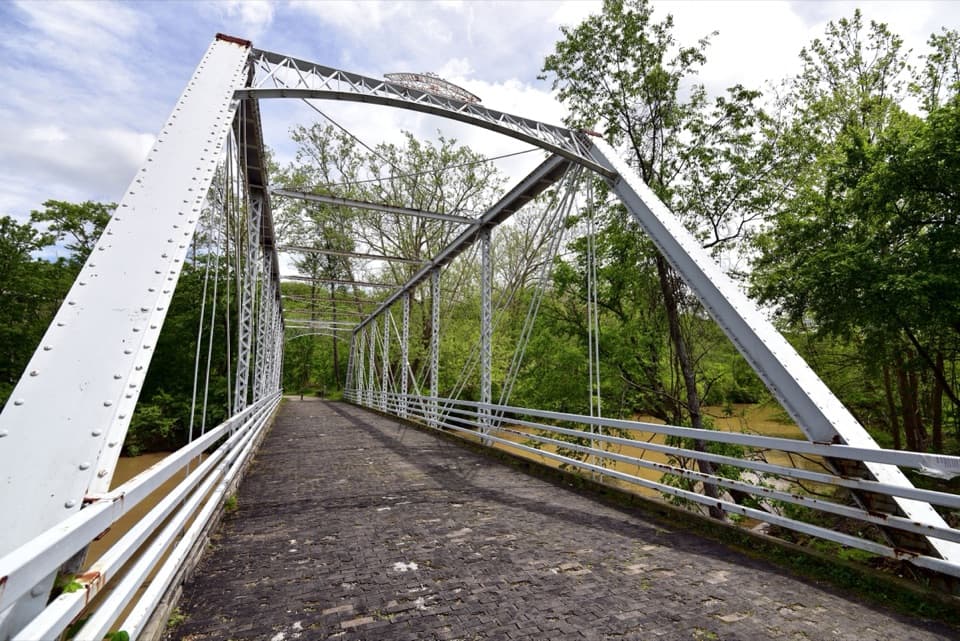
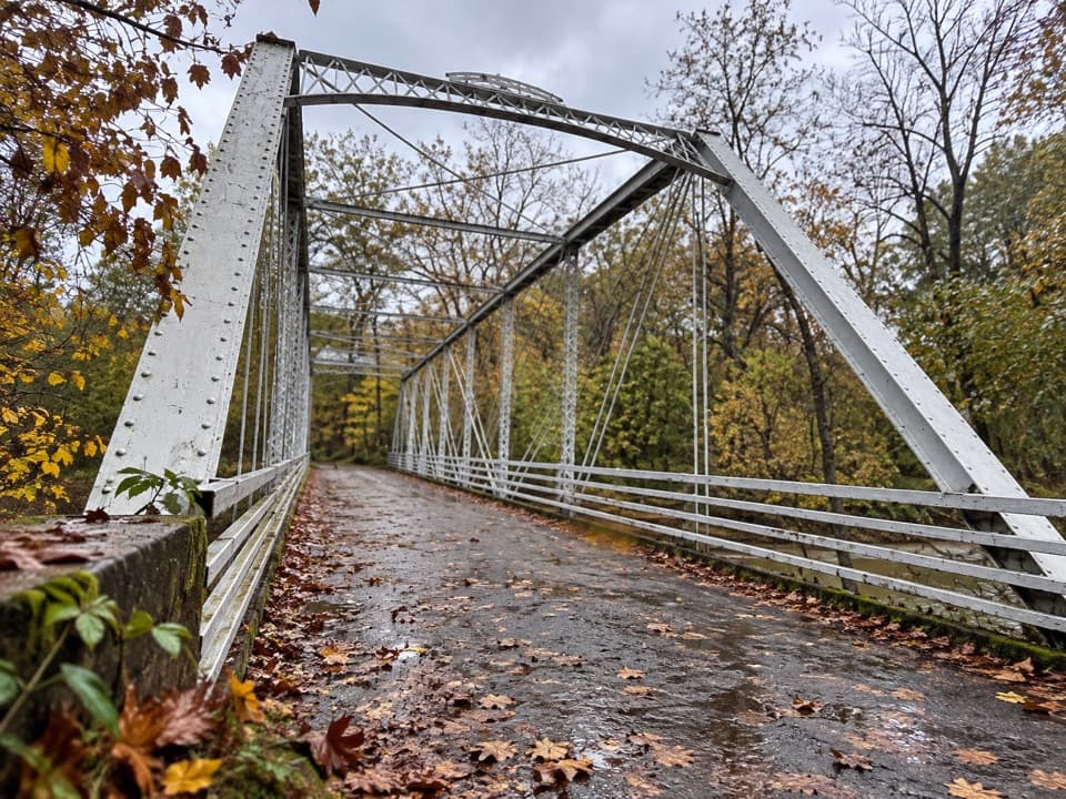
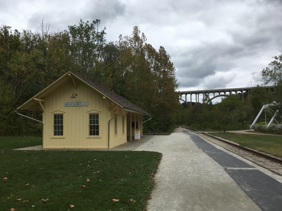
Station Road Bridge is a historic wrought-iron crossing for hikers, cyclists and horseback riders at Pinery Narrows, crossing the Cuyahoga River near Brecksville Station. It makes a worthwhile stop while exploring the Towpath or riverfront: cross the old span and look across to the separate Route 82 concrete-arch bridge. The highway bridge is not Station Road Bridge; it is part of the view.

Look through the archesFrom the old bridge, frame Route 82's arches over the river; calm water can mirror them.

From the old bridge, frame Route 82's arches over the river; calm water can mirror them. A passing Cuyahoga Valley Scenic Railroad train can line up through the arches, though the timing is a bonus, not a plan. For a photo, include water below the arches so their height reads.

The 1881 spanValley Railway service reached Brecksville in 1880, and Station Road Bridge gave the station a…

Valley Railway service reached Brecksville in 1880, and Station Road Bridge gave the station a road link; milk, cheese, lumber and other goods moved from both counties. The bridge dates to 1881, although 1882 is stamped on its ironwork. Its pin-connected wrought-iron Double Intersection Pratt (Whipple) truss is the only remaining metal truss of its kind in the valley. Cars shifted to the nearby Route 82 bridge in 1931; Station Road Bridge reopened as a pedestrian crossing in 1992.

Where river history meets the canalThe panels beside the bridge interpret the Pinery Narrows bridges and the Cuyahoga's recovery…

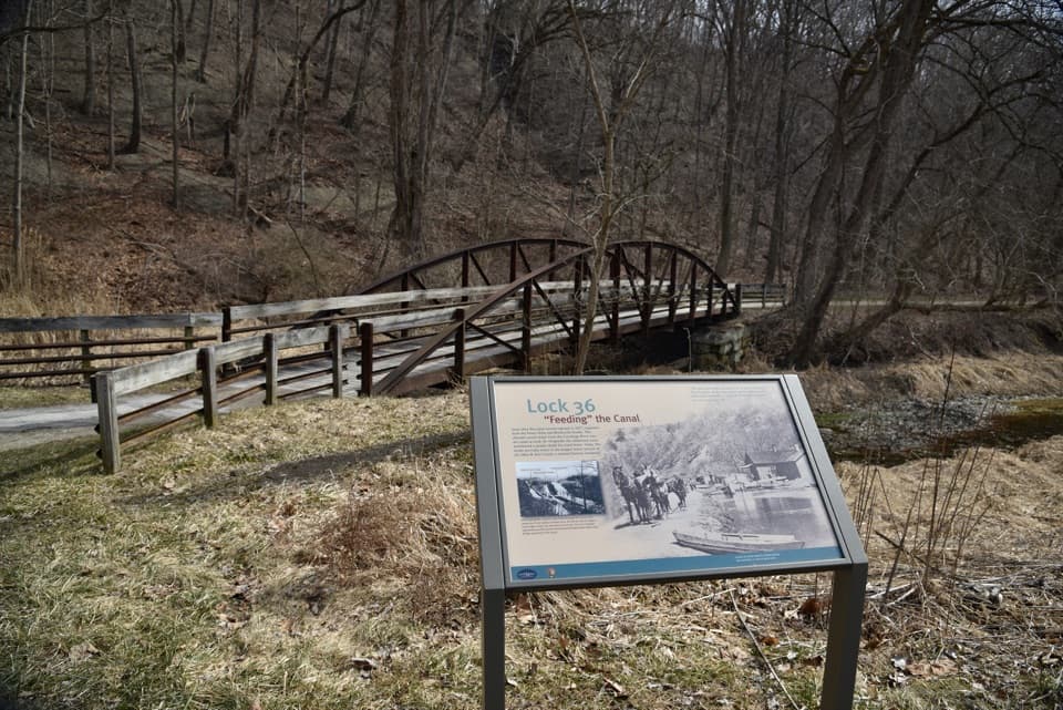
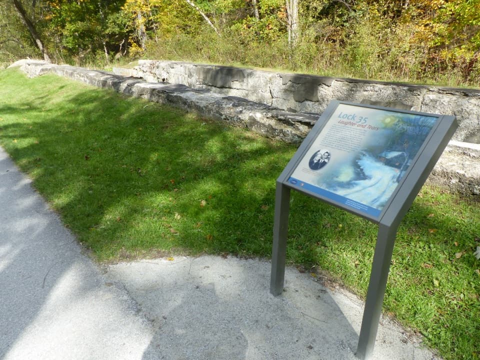
The panels beside the bridge interpret the Pinery Narrows bridges and the Cuyahoga's recovery after the 1969 Cleveland river fire. The Ohio & Erie Canal was dug from 1825 to 1832, and the Pinery Feeder still sends river water into it. Two dams came out in 2020, restoring free flow through this reach after nearly two centuries.

Keep walkingThe Towpath continues north about half a mile to the Lock 36 ruins and the Mudcatcher; the area…

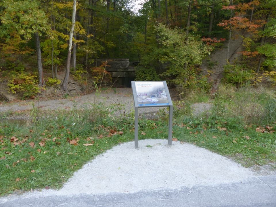
The Towpath continues north about half a mile to the Lock 36 ruins and the Mudcatcher; the area also connects with the Cuyahoga River Water Trail, Scenic Railroad and Brecksville Reservation connector. The trailhead has parking, accessible flush restrooms, potable water and a bottle-fill station, picnic tables, exhibits and a small-boat launch. The bridge is closed to cars and used by hikers, cyclists and horseback riders. Access for wheelchair users is unclear; accessible facilities at the trailhead do not establish the bridge’s surface or grade.

Wildlife

Wildlife in Cuyahoga Valley

All Cuyahoga Valley wildlife maps

Sighting maps show where each species has been reported across Cuyahoga Valley. Wildlife moves, so no sighting is guaranteed.

Keep exploring

Near Station Road Bridge

See it all on the map

Trails nearby

More stops nearby

Parkwolf’s Cuyahoga Valley ranking

Top sights in Cuyahoga Valley

All 88 places
  1. 1Brandywine FallsSight
  2. 2The LedgesSight
  3. 3Beaver MarshSight
  4. 4Blue Hen FallsSight
  5. 5Hale Farm & VillageSight
  6. 6Everett Covered BridgeSight

Take Parkwolf to Cuyahoga Valley.

The audio tour guide for the drive, plus offline maps, trails, and wildlife heatmaps for when the signal drops.

4.7 from 8,600+ ratings

Download Parkwolf on the App StoreGet Parkwolf on Google Play