Brambuk the National Park & Cultural Centre in Grampians National Park

Visitor center · Grampians National Park

Brambuk the National Park & Cultural Centre

A cultural gateway to Gariwerd stories, wildlife, and walking plans

Photo: Wikimedia Commons
Type
Visitor center
Nearest trail
Right here
Audio stories
7 nearby
  • Parking
  • Restrooms
  • Store
  • Food

Hear the audio tour

Brambuk: Wildlife and Wetland Walks

Overview

About Brambuk the National Park & Cultural Centre

Why stop

  • The best place to orient a Grampians day
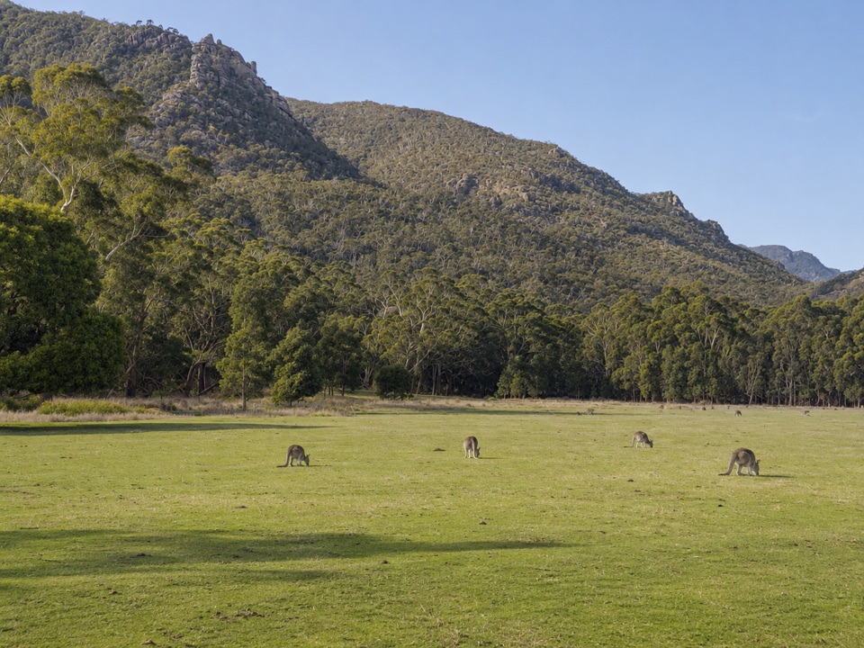
  • Kangaroos and emus often graze nearby

Heads up

  • More of a gateway and information stop than a full-day attraction
Brambuk is more valuable as a cultural and trip-planning gateway than as a full-day attraction on its own. Start here before committing to a remote walk or a long drive, then spend a few minutes in the gardens and open country around the precinct. The best visit is early in the day, before you are rushing between the park’s headline lookouts and walks.
Parkwolf’s verdictWorth the stop, with realistic expectations

Map

Where it is

Loading the Grampians map
Full map
Visitor centerBrambuk the National Park & Cultural Centre-37.15761, 142.53028
Keep this map with you offline in the Parkwolf app

Plan your stop

Before you go

5 active Grampians alerts

  • ClosureBushfire-damaged walks and picnic area remain closedThe Fortress, Red Gum, Billimina, Chimney Pots and Brownings Loop walks, plus Mafeking Picnic Area, remain closed because of track or site damage from the 2024/25 summer bushfires.Official details
  • ClosureMackenzie Falls precinct closed during constructionThe Mackenzie Falls (Migunang wirab) Precinct has no vehicle or visitor access during major construction works expected to finish by the end of 2026.Official details
See all 5 alerts
A park ranger sits on a dash-mounted phone, talking, as Parkwolf’s Tour Guide plays “Army Cutworm Moths: A Grizzly Bear Buffet” on Grand Loop Road below Dunraven Pass in Yellowstone
Parkwolf Tour GuideThe highest, rockiest slopes around here are a summer buffet for grizzly bears.

Grampians Tour Guide

Your drive to Brambuk the National Park & Cultural Centre, narrated.

Parkwolf is a GPS audio tour guide for Grampians National Park. As you drive, it chimes in with what’s ahead: hidden gems, upcoming stops, history, geology, and wildlife, right through your car’s speakers.

Recorded for this place

Brambuk: Wildlife and Wetland Walks
0:00 / 1:01
“Brambuk, the National Park and Cultural Centre, is coming up, and I'd allow time to explore the grounds as well as the information desk.”

Plays as you drive up to Brambuk the National Park & Cultural Centre in the Parkwolf Grampians Tour Guide.

More stories near here in the app

  • Boronia Peak: A Quieter Summit
  • Lakeview Lookout from Sundial
  • Lake Bellfield: A Walk on the Dam Wall
  • The Pinnacle from Wonderland
  • 233 audio storiesacross Grampians’s roads, triggered by GPS as you drive
  • Wildlife heatmapsfor Short-beaked Echidna, Powerful Owl, Wedge-tailed Eagle, and 13 more
  • Works offlinemaps, 81 trails, 62 places, and audio download before you lose signal
  • CarPlay readysimple controls built for the drive
★★★★★
“Fantastic app with many points of information… It’s great to just turn on while you’re driving and it gives you an audio tour of the national Park. We love it!!!!”
JMJamesApp Store review
Download Parkwolf on the App StoreGet Parkwolf on Google Play

4.7 from 8,600+ ratings

Guide

More about Brambuk the National Park & Cultural Centre

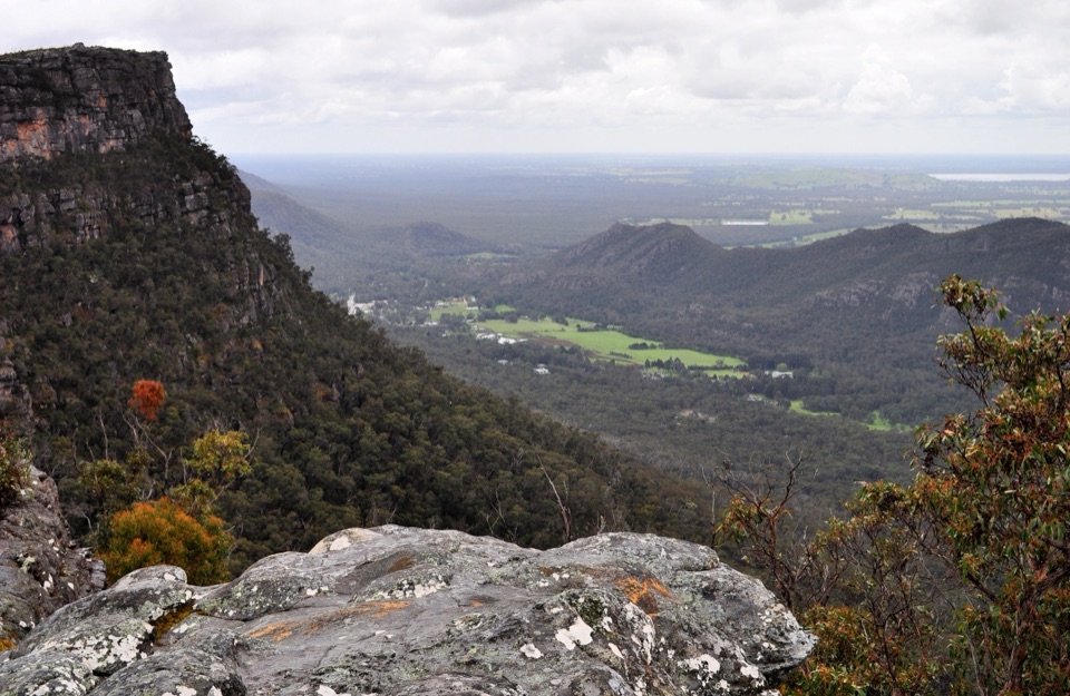
Start here for GariwerdBrambuk is the most useful first stop in the Grampians.

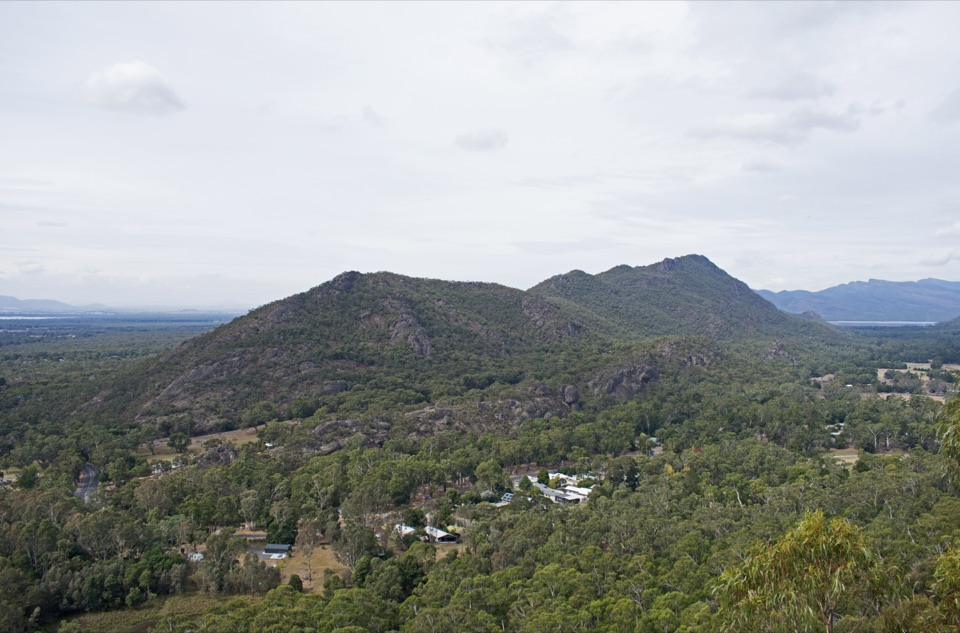
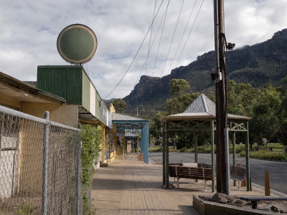
Brambuk is the most useful first stop in the Grampians. The National Park Information Centre can help you shape a day around walks, waterfalls, lookouts, camping and Aboriginal rock art sites, with park maps and practical local knowledge in one place. It is about 2 kilometres south of Halls Gap on Grampians Road.

Culture, gardens and wildlifeThe place was created to acknowledge, protect and share the cultures of the Jadawadjali and…

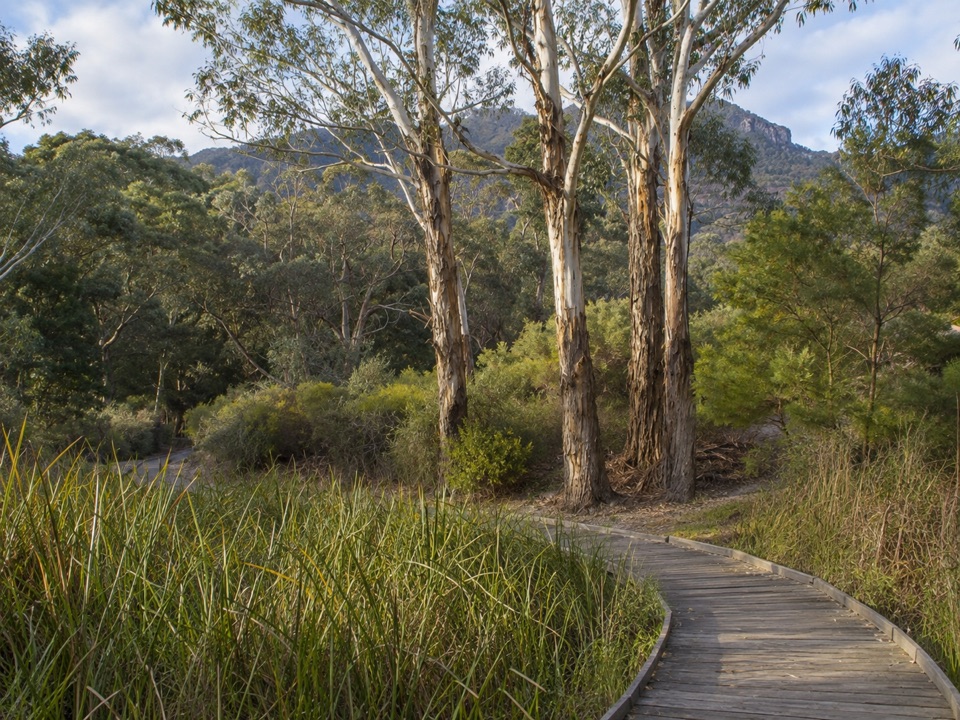
The place was created to acknowledge, protect and share the cultures of the Jadawadjali and Djab Wurrung Peoples. Brambuk began with the cultural centre building in 1989 and opened to visitors in 1990. The self-guided wetland and native-garden walks connect the information centre with the wider precinct and offer an easy introduction to Gariwerd’s plants, animals and landscape.

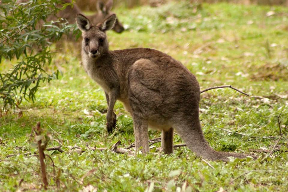
The open grass around the precinct is a good place to keep an eye out for eastern grey kangaroos, emus and native birds. Wildlife is most likely early or late in the day, when the light is also gentler for photography. Give animals room and never feed them.

What you can useThere is a visitor information desk, parking, public toilets, a shop with Indigenous products,…

There is a visitor information desk, parking, public toilets, a shop with Indigenous products, Australian-made souvenirs and maps, plus a cafe. The centre and wetland paths are documented as welcoming to wheelchair users, although the experience outside the building still depends on weather and track conditions. Bring water, sun protection and a little time to walk beyond the desk.

Wildlife

Wildlife in Grampians

All Grampians wildlife maps

Sighting maps show where each species has been reported across Grampians. Wildlife moves, so no sighting is guaranteed.

Keep exploring

Near Brambuk the National Park & Cultural Centre

See it all on the map

Trails nearby

More stops nearby

Parkwolf’s Grampians ranking

Top sights in Grampians

All 62 places
  1. 1MacKenzie Falls (Migunang wirab)Sight
  2. 2Pinnacle LookoutSight
  3. 3Boroka LookoutSight
  4. 4Reeds LookoutSight
  5. 5The BalconiesSight
  6. 6Mount William (Duwul)Sight

Take Parkwolf to Grampians.

The audio tour guide for the drive, plus offline maps, trails, and wildlife heatmaps for when the signal drops.

4.7 from 8,600+ ratings

Download Parkwolf on the App StoreGet Parkwolf on Google Play