Parking
Start in Halls Gap from the signposted GPT access near Brambuk. The walk finishes at Redman Road, so arrange the return transfer before setting out.
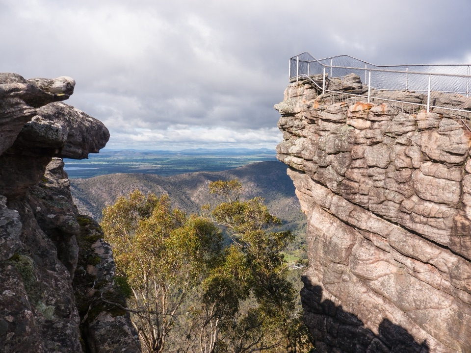
Grampians National Park, VIC
Three days from Halls Gap over The Pinnacle and Mount Rosea cliffs
Overview
Map & elevation
Plan your hike

The highest, rockiest slopes around here are a summer buffet for grizzly bears.
Grampians Tour Guide
Parkwolf is a GPS audio tour guide for Grampians National Park. As you drive, it chimes in with what’s ahead: hidden gems, upcoming stops, history, geology, and wildlife, right through your car’s speakers.
Recorded for this trailhead
Halls Gap and Venus Baths“You're coming up on Halls Gap, a handy place to pair a food stop with an easy walk beside Stony Creek. The village has places to eat, a general store and fuel, all beneath a steep sandstone backdrop.”
Plays as you drive up to this trailhead in the Parkwolf Grampians Tour Guide.
More stories near here in the app
“Fantastic app with many points of information… It’s great to just turn on while you’re driving and it gives you an audio tour of the national Park. We love it!!!!”


Trail guide
A one-way, three-day hike along the central Grampians Peaks Trail, from Halls Gap to Redman Road, with booked nights at Bugiga and Barri Yalug hike-in campgrounds. The published itinerary is 24.5 km one way (8.9 km to Bugiga, 14.7 km to Barri Yalug, then 0.8 km out to Barney Creek and Redman Road). Expect roughly 1,256 m of ascent and 1,160 m of descent, between about 243 m and 993 m elevation.
Day one leaves Halls Gap beside Stony Creek, threading boulders, stone staircases and footbridges before the climb through the Grand Canyon to The Pinnacle and Lake View Lookout, then on to Bugiga. Day two is the big one: a long climb through tall forest to Mount Rosea, whose cliffs are among the highest on the trail, followed by steep winding steps down toward Borough Huts and Barri Yalug. Day three is short, crossing Barney Creek on stone steps to finish at Redman Road.
Wet sclerophyll forest, sandstone cliffs and rocky outcrops, with panoramic views across the Mount William Range and Fyans Valley. You also pass heritage-protected raised water fluming carried on dry-stone pillars. Footing is the main workload: rock steps, uneven and slippery surfaces, water crossings and rock hopping, plus sections close to steep cliffs.
Both camps must be booked and have timber tent platforms, basic toilets, communal meal areas and water collection points. Tank water is untreated, so bring a reliable treatment method and carry enough between camps. Fuel stoves are fine; open campfires are not permitted. Pets are not allowed, with assistance dogs the only exception under park entry requirements.
The trailhead is signposted at Halls Gap and Brambuk is the practical stop for information. Because the walk ends at Redman Road, you need a car shuffle or a pre-arranged transfer back to Halls Gap; sort that before you start. An alternate approach connects from the Tunnel Walk Trailhead via Tunnel Walk, the Lake Bellfield track and Borough Huts.
This record covers the Halls Gap to Redman Road three-day itinerary, while the continuation toward Duwul and Durd Durd is a separate itinerary. Book the campgrounds that match this itinerary, and plan for the transport shuffle, untreated tank water and one very long middle day.
Wildlife
 157 sightingsShort-beaked EchidnaMost seen around 6 PMSighting map
 37 sightingsPowerful OwlMost seen around 6 PMSighting map
 59 sightingsWedge-tailed EagleMost seen around 11 AMSighting map
 24 sightingsEastern Brown SnakeMost seen around 11 AMSighting map
 10 sightingsTiger SnakeMost seen around noonSighting map
 29 sightingsRed-bellied Black SnakeMost seen around 11 AMSighting map
Sighting maps show where each species has been reported across Grampians. Wildlife moves, so no sighting is guaranteed.
Keep exploring
 ModerateHalls Gap to The Pinnacle9.6 km · 5 hr · 0.1 km awaySteep sandstone climb to a wide lookout, then a canyon-lined return
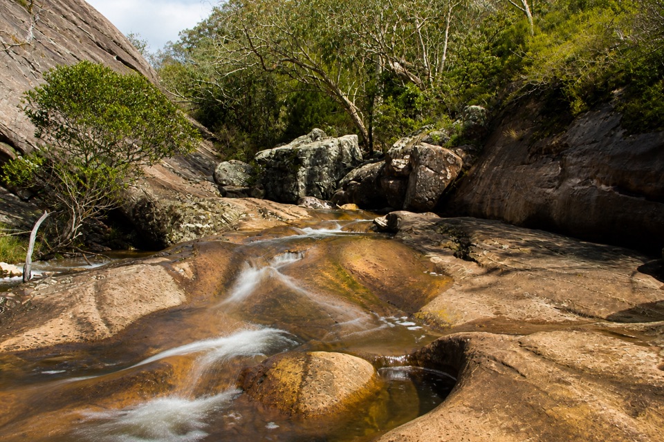 EasyVenus Baths Loop Walk2.3 km · 1 hr · 0.2 km awaySmooth sandstone pools on Stony Creek, an easy 2.3 km family circuit
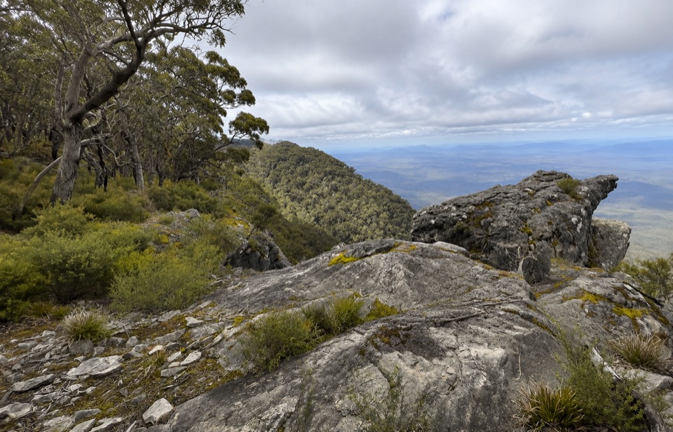 ChallengingWerdug Overnight Hike26 km · 13 hr · 0.2 km awaySteep escarpment climb to a high hike-in camp above Lake Wartook
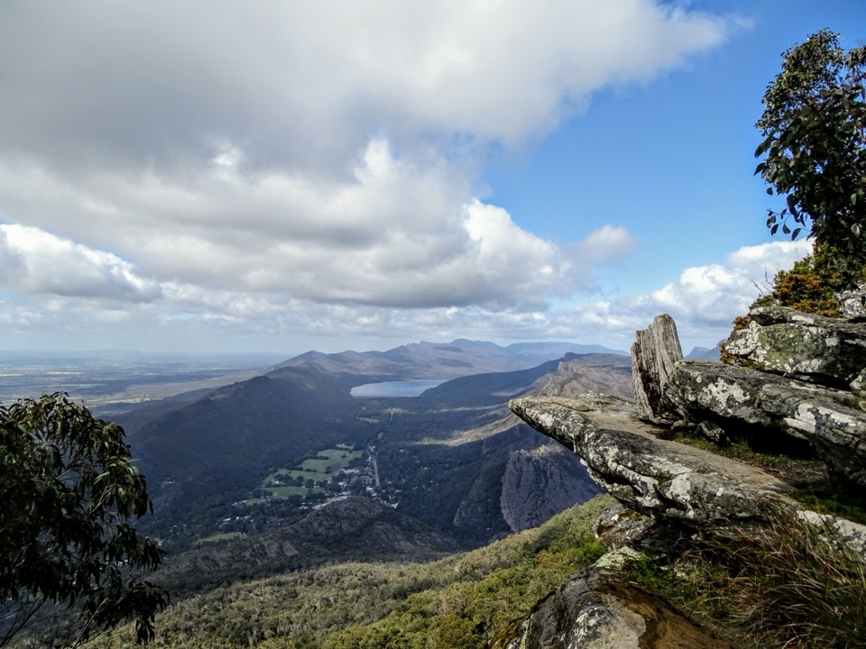 ChallengingBoroka Lookout from Halls Gap12 km · 4 hr · 0.2 km awaySteep 12 km climb through stringybark forest to a cliff-edge panorama
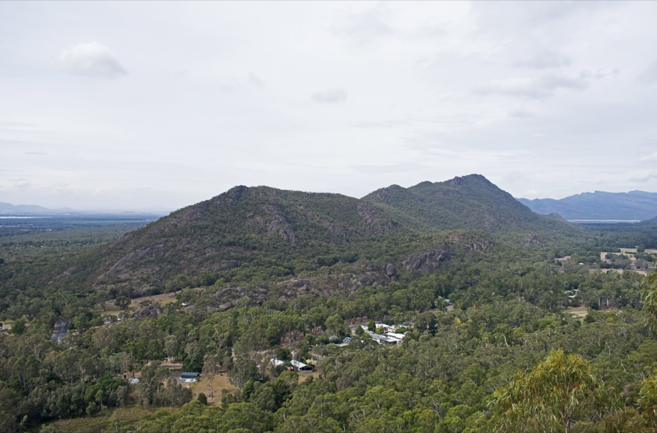 ModerateChatauqua Peak Loop Walk6.3 km · 2.5 hr · 0.4 km awaySteep rocky summit above Halls Gap, with fern gullies and a waterfall
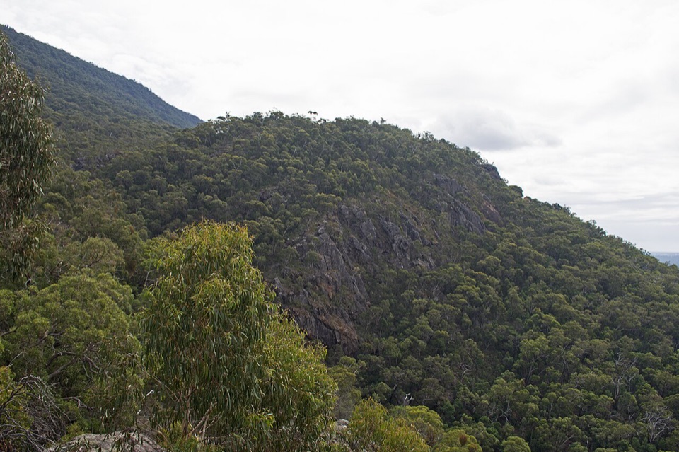 EasyClematis Falls Walk2.4 km · 1 hr · 0.4 km awayShort forest stroll to a seasonal falls under sandstone cliffs
 ChallengingBugiga Overnight Hike22.3 km · 14 hr · 0.4 km awayGrand Canyon, the Pinnacle, Mount Rosea: two hard days with a pack
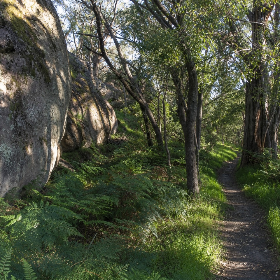 ModerateDelleys Bridge Walking Track2.7 km · 1.3 hr · 1.1 km awayEscarpment path above Fyans Creek, with steps, boardwalk and forest cover
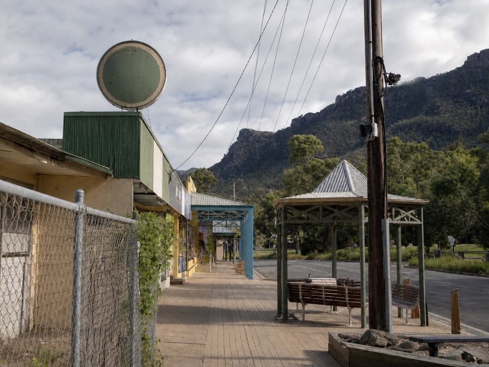 Sight · 0.3 km awayHalls GapA practical mountain base for central walks, wildlife, and big views
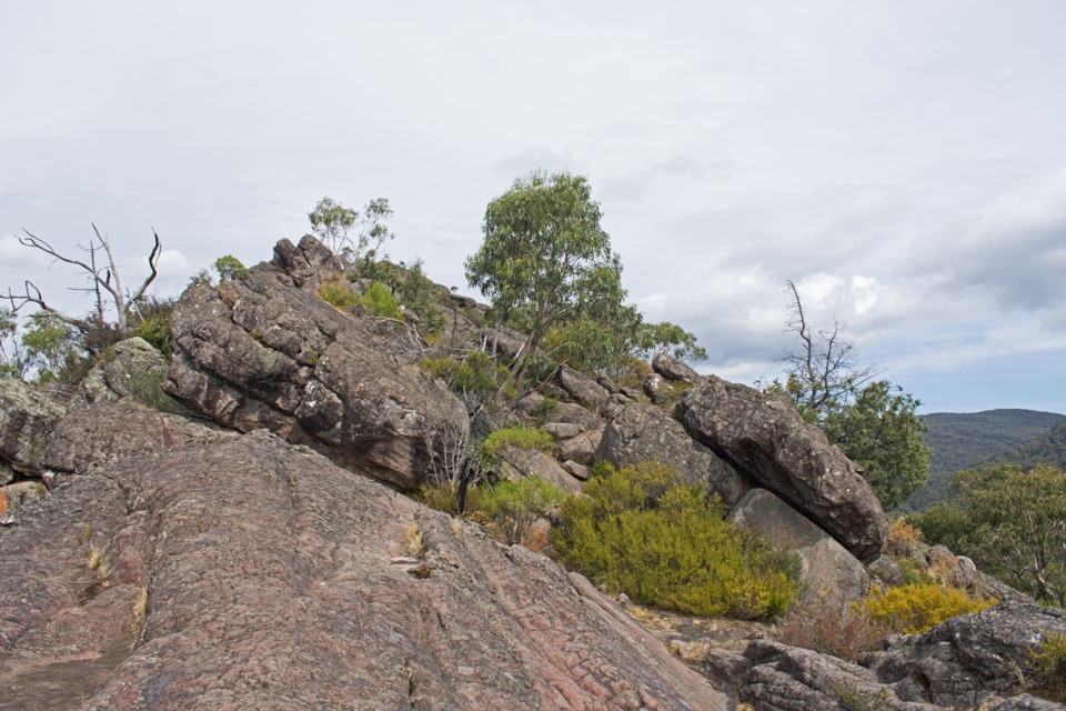 Sight · 0.7 km awayChatauqua PeakA rocky summit scramble with wide views over Halls GapSight · 0.9 km awayVenus BathsSmooth sandstone pools made for a cool, easy creekside wander
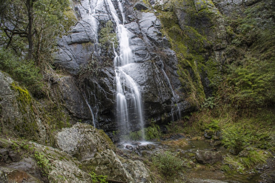 Sight · 1.5 km awayClematis FallsA seasonal waterfall reached by an easy walk from Halls Gap
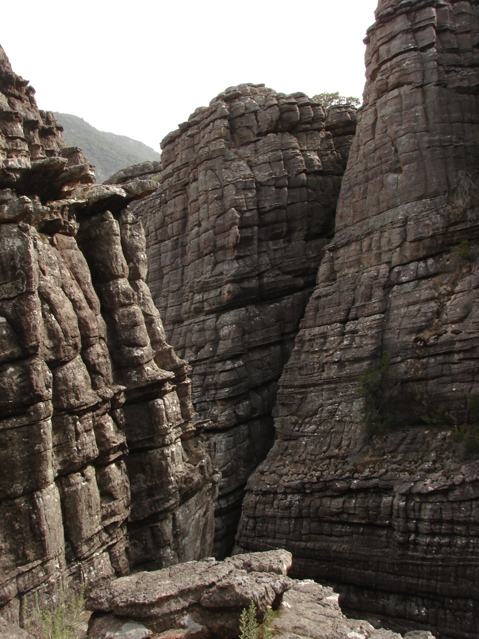 Sight · 1.8 km awayGrand CanyonA narrow sandstone gorge with ladders and seasonal cascades
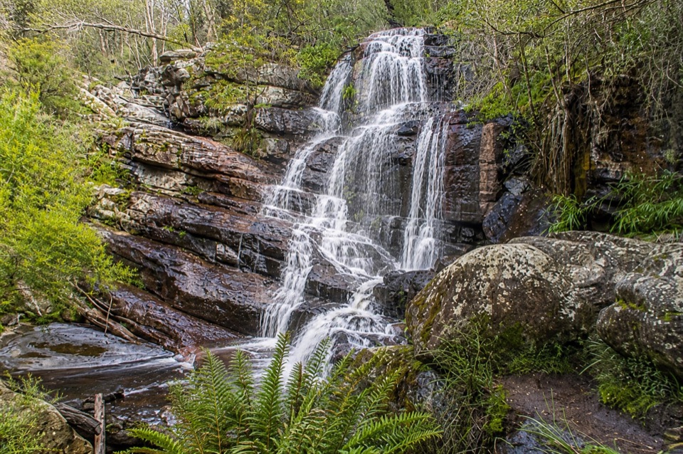 Sight · 1.8 km awaySplitters FallsA seasonal cascade tucked into a shady, rock-strewn walk
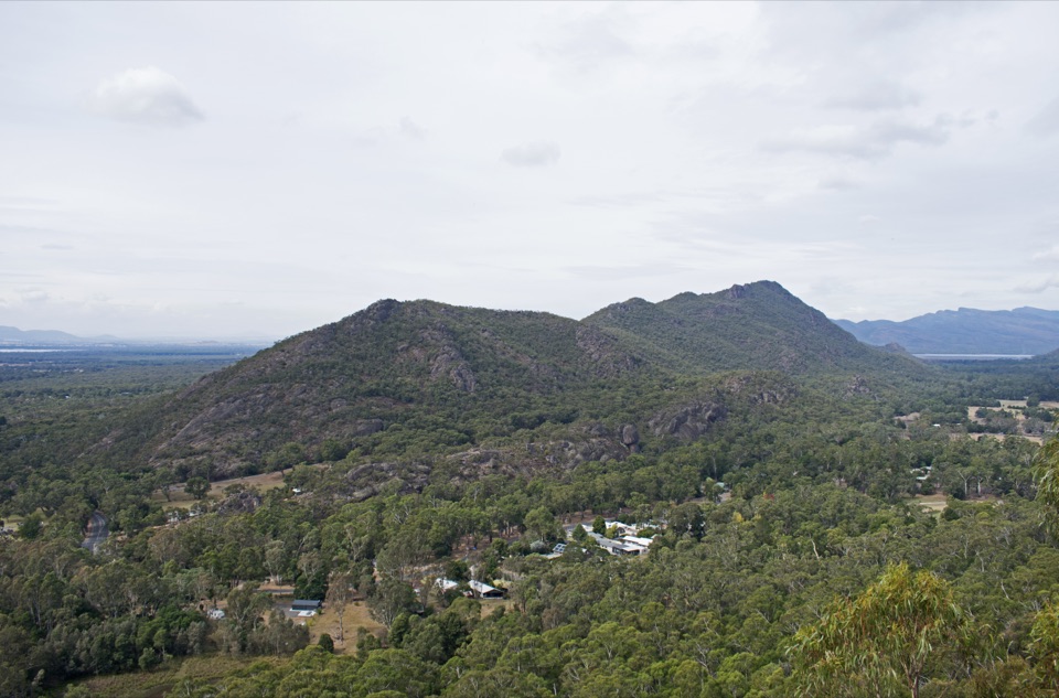 Sight · 1.9 km awayBoronia Peak360-degree views over Halls Gap, Lake Fyans, and the ranges
 Visitor center · 2.3 km awayBrambuk the National Park & Cultural CentreA cultural gateway to Gariwerd stories, wildlife, and walking plans
Parkwolf’s Grampians ranking

The audio tour guide for the drive, plus offline maps, trails, and wildlife heatmaps for when the signal drops.




