Parking
Tandara Road Car Park at the end of Tandara Road; start here and cross the Fyans Creek footbridge.
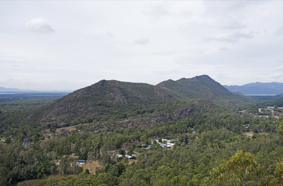
Grampians National Park, VIC
Steady forest climb to a rocky summit above Fyans Valley
Overview
The summit is the whole point. From the top you get broad, close to 360-degree views over Fyans Valley, Lake Fyans, Lake Bellfield, Halls Gap and the surrounding Grampians ranges. It is a proper summit viewpoint rather than a walk with scattered lookouts along the way.
 Parkwolf’s verdictThe payoff
Map & elevation
Plan your hike

The highest, rockiest slopes around here are a summer buffet for grizzly bears.
Grampians Tour Guide
Parkwolf is a GPS audio tour guide for Grampians National Park. As you drive, it chimes in with what’s ahead: hidden gems, upcoming stops, history, geology, and wildlife, right through your car’s speakers.
Recorded for this trailhead
Boronia Peak: A Quieter Summit“You're nearing Tandara Road, the access for the Boronia Peak walk. This is a good choice if you'd enjoy a quieter summit outing than the better-known Wonderland hikes.”
Plays as you drive up to this trailhead in the Parkwolf Grampians Tour Guide.
More stories near here in the app
“Fantastic app with many points of information… It’s great to just turn on while you’re driving and it gives you an audio tour of the national Park. We love it!!!!”


Trail guide
An out-and-back walk from Tandara Road Car Park to the Boronia Peak summit viewpoint and back the same way. The visitor figure is 6.6 km return, and the mapped line here shows the one-way corridor of 3.50 km (2.17 mi) from the car park to the summit. Allow 2 to 3 hours, and closer to 2.5 to 3.5 hours if you are climbing steadily, taking care on the rocky summit approach, and stopping for views.
From the end of Tandara Road you cross the Fyans Creek (Barri yalug) footbridge, pick up the Fyans Creek Loop approach, then turn off at the Boronia Trail junction. From there it is a connected climbing track up the western slope of the Mount William Range, through tall messmate forest and native pines, with rocky ridge sections higher up. The last stretch is a rocky scramble onto the summit itself.
Graded medium, about 6/10. Nothing technical, but the climbing is sustained and the ground is uneven and rocky, with stone steps in places. Rocks can be slippery, and the final scramble is exposed. The summit itself is open to sun, wind and rain, cliff edges are unstable, and falling limbs are a hazard in the forest, so keep your footing deliberate near the top and give the drops a wide margin.
Kangaroos and emus are often reported around the Fyans Creek approach near the start, and Gang-gang cockatoos are frequently seen along the ridge. No guarantees, but they are worth watching and listening for.
Assistance dogs are covered by separate rules.
Wildlife
 157 sightingsShort-beaked EchidnaMost seen around 6 PMSighting map
 37 sightingsPowerful OwlMost seen around 6 PMSighting map
 59 sightingsWedge-tailed EagleMost seen around 11 AMSighting map
 24 sightingsEastern Brown SnakeMost seen around 11 AMSighting map
 10 sightingsTiger SnakeMost seen around noonSighting map
 29 sightingsRed-bellied Black SnakeMost seen around 11 AMSighting map
Sighting maps show where each species has been reported across Grampians. Wildlife moves, so no sighting is guaranteed.
Keep exploring
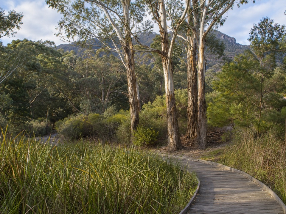 EasyBrambuk Wetland Loop Walk1.3 km · 30 min · 0.7 km awayFlat 1.27 km wetland and garden loop with mountain views and kangaroos
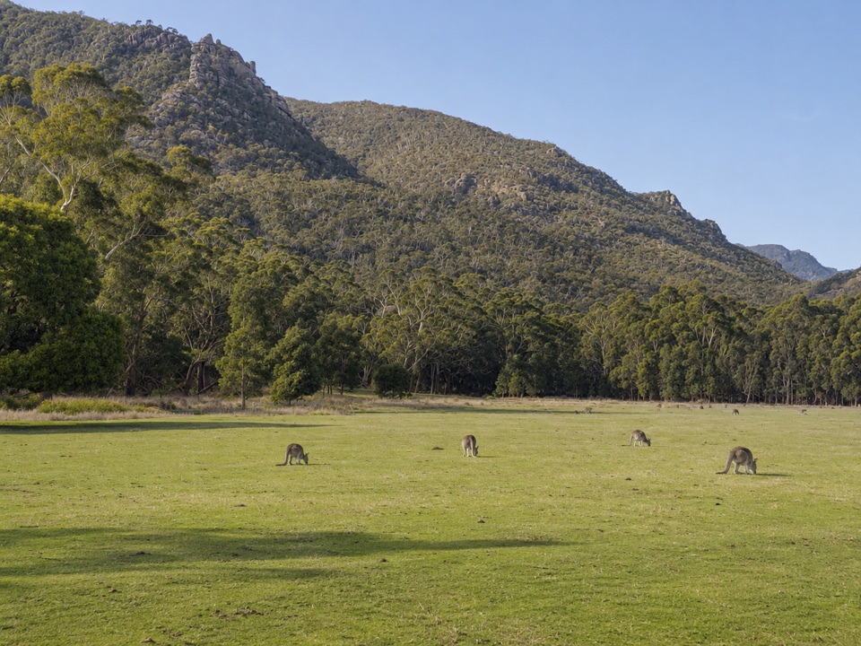 EasyFyans Creek Loop Walk2.7 km · 1 hr · 0.8 km awayGentle valley loop past a dry creek, wattles and dawn wildlife
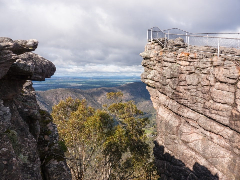 ChallengingBugiga and Barri Yalug 3-day Hike39.4 km · 18 hr · 1.6 km awayThree days from Halls Gap over The Pinnacle and Mount Rosea cliffs
 ModerateHalls Gap to The Pinnacle9.6 km · 5 hr · 1.7 km awaySteep sandstone climb to a wide lookout, then a canyon-lined return
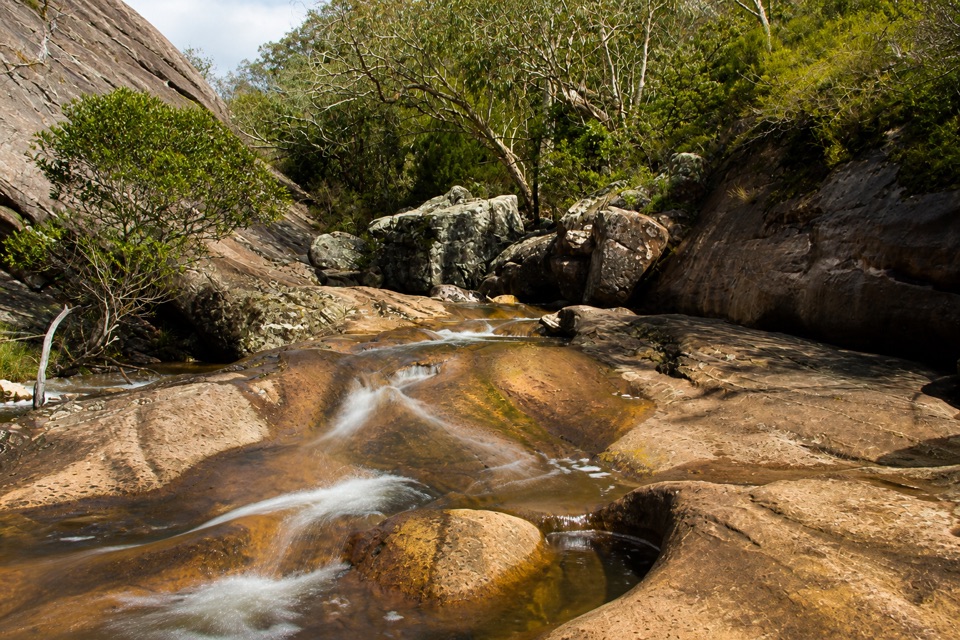 EasyVenus Baths Loop Walk2.3 km · 1 hr · 1.8 km awaySmooth sandstone pools on Stony Creek, an easy 2.3 km family circuit
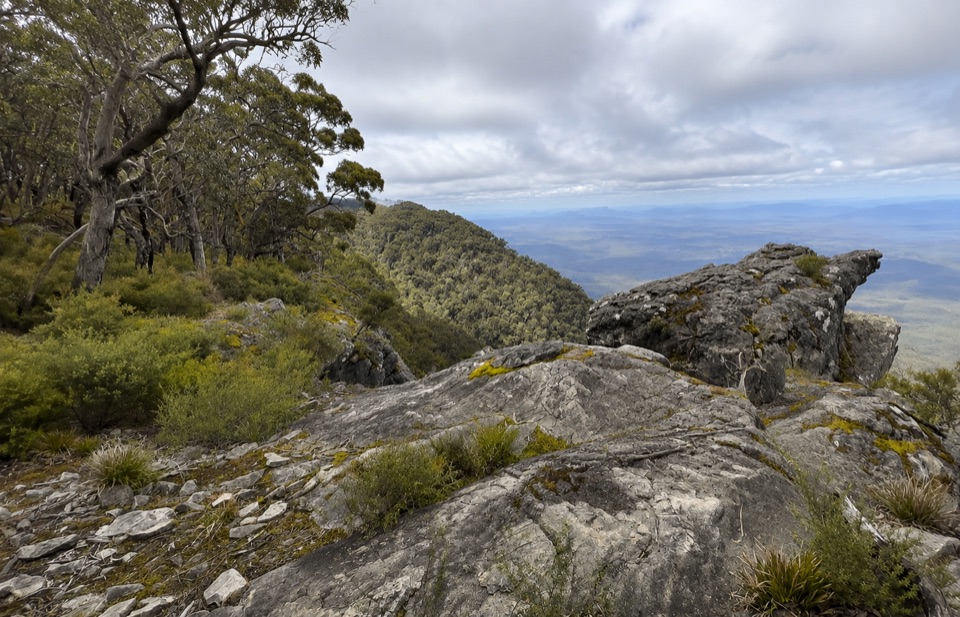 ChallengingWerdug Overnight Hike26 km · 13 hr · 1.8 km awaySteep escarpment climb to a high hike-in camp above Lake Wartook
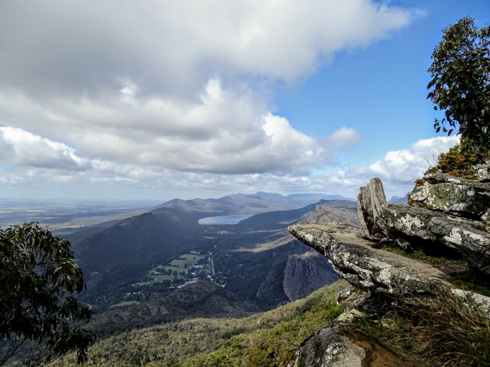 ChallengingBoroka Lookout from Halls Gap12 km · 4 hr · 1.8 km awaySteep 12 km climb through stringybark forest to a cliff-edge panoramaModerateChatauqua Peak Loop Walk6.3 km · 2.5 hr · 1.9 km awaySteep rocky summit above Halls Gap, with fern gullies and a waterfall
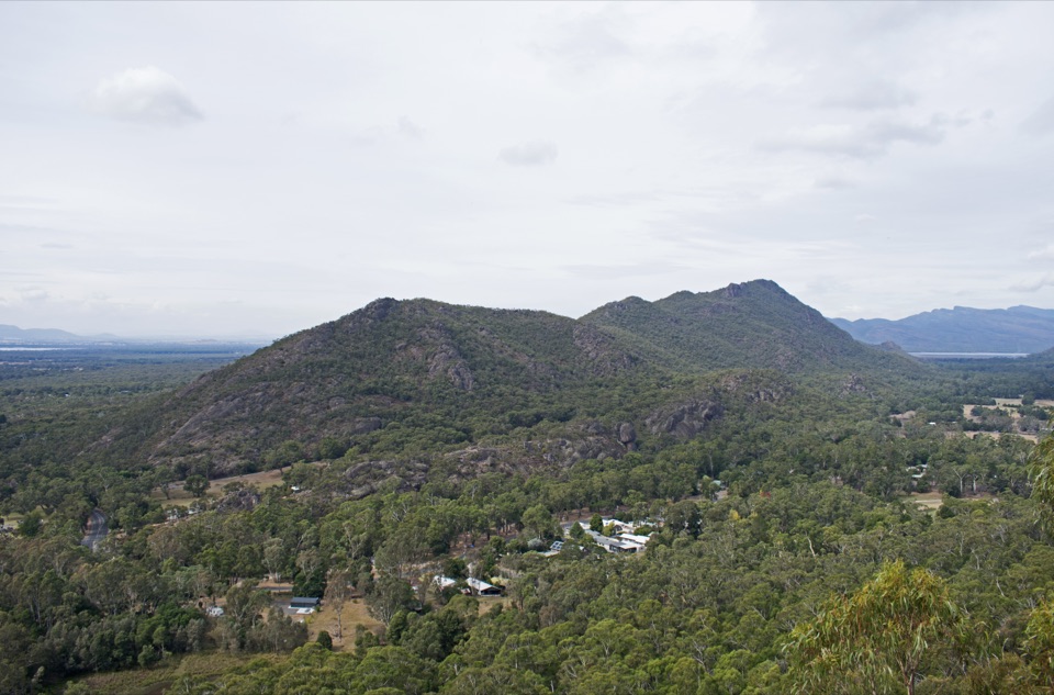 Sight · 0.7 km awayBoronia Peak360-degree views over Halls Gap, Lake Fyans, and the ranges
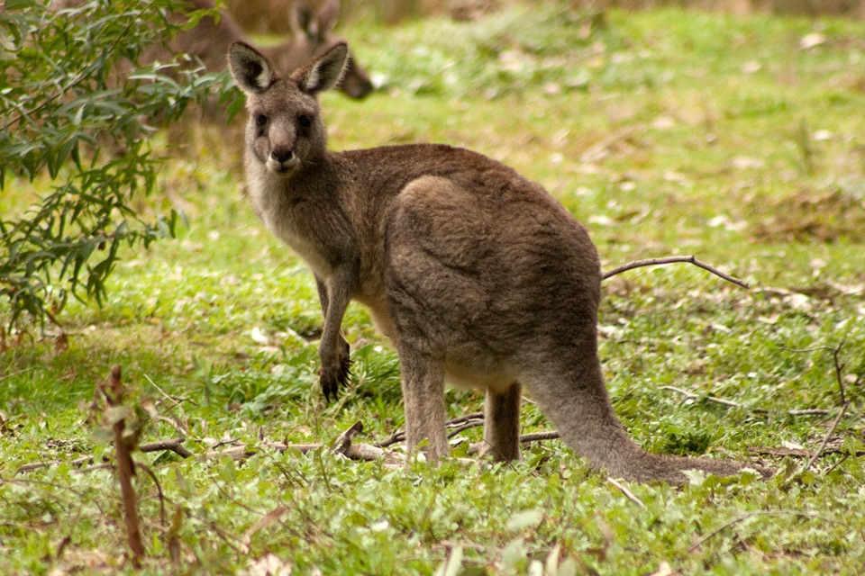 Visitor center · 0.8 km awayBrambuk the National Park & Cultural CentreA cultural gateway to Gariwerd stories, wildlife, and walking plans
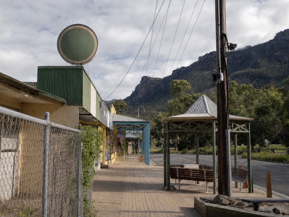 Sight · 1.3 km awayHalls GapA practical mountain base for central walks, wildlife, and big viewsSight · 1.6 km awayPinnacle LookoutA dramatic rock platform above Halls Gap and Lake Bellfield
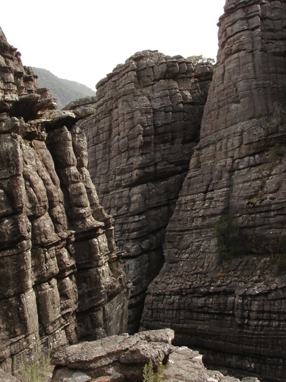 Sight · 2.2 km awayGrand CanyonA narrow sandstone gorge with ladders and seasonal cascadesSight · 2.2 km awayVenus BathsSmooth sandstone pools made for a cool, easy creekside wander
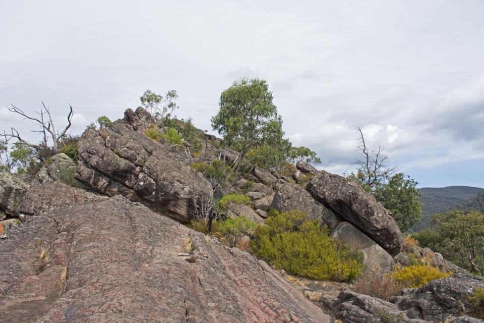 Sight · 2.3 km awayChatauqua PeakA rocky summit scramble with wide views over Halls Gap
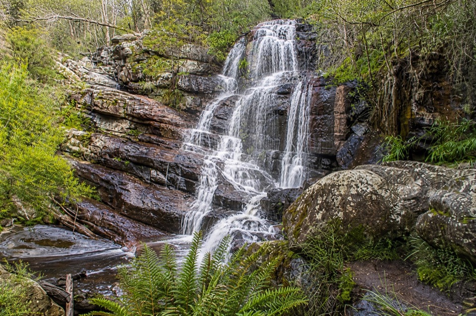 Sight · 2.5 km awaySplitters FallsA seasonal cascade tucked into a shady, rock-strewn walk
Parkwolf’s Grampians ranking
The audio tour guide for the drive, plus offline maps, trails, and wildlife heatmaps for when the signal drops.





