Parking
Start and finish at Brambuk Cultural Centre, 277 Grampians Road, Halls Gap. Carry a good map for the loop.
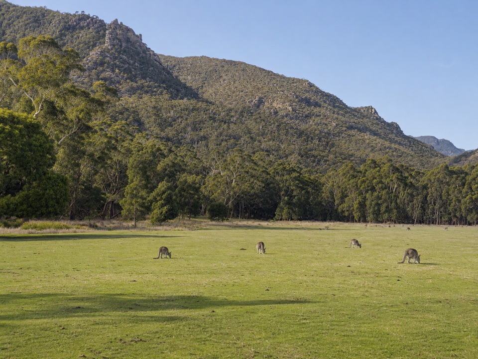
Grampians National Park, VIC
Gentle valley loop past a dry creek, wattles and dawn wildlife
Overview
Map & elevation
Plan your hike

The highest, rockiest slopes around here are a summer buffet for grizzly bears.
Grampians Tour Guide
Parkwolf is a GPS audio tour guide for Grampians National Park. As you drive, it chimes in with what’s ahead: hidden gems, upcoming stops, history, geology, and wildlife, right through your car’s speakers.
Recorded for this trailhead
Brambuk: Wildlife and Wetland Walks“Brambuk, the National Park and Cultural Centre, is coming up, and I'd allow time to explore the grounds as well as the information desk.”
Plays as you drive up to this trailhead in the Parkwolf Grampians Tour Guide.
More stories near here in the app
“Fantastic app with many points of information… It’s great to just turn on while you’re driving and it gives you an audio tour of the national Park. We love it!!!!”


Trail guide
This is a full circuit, not an out-and-back, and the whole loop runs about 2.7 km and takes roughly an hour at an easy pace. Other descriptions quote figures between about 2.5 and 2.9 km, so treat the distance as approximate. The walking is easy and close to flat, with only low rises through the valley and foothills.
Start and finish at Brambuk, the National Park and Cultural Centre. The track heads out through open grassland in Fyans Valley to Tandara Road, crosses Fyans Creek, then turns back along the forested foothills of the Mount William Range to Brambuk.
Most of the way is gravel or compacted earth path. There are short sets of steps and a few timber and metal bridge or boardwalk sections at the creek and low ground, so it is not a step-free route and is not described here as suitable for all wheels or all mobility needs. Sturdy shoes are sensible.
The first half is open and wide, with valley grassland and views to the range. Fyans Creek is often dry, so expect a sandy or stony bed rather than flowing water for much of the year. The return side moves into eucalypt woodland and foothill scrub with hakeas, grevilleas and wattles, and weathered sandstone outcrops above. Birds, kangaroos and wallabies are all possible here, and emus are seen occasionally. Sightings are never guaranteed, but early morning and early evening give the best chance.
Park and begin at Brambuk Cultural Centre, 277 Grampians Road, Halls Gap. Junctions with local roads and side paths are not always obvious, so carry a good map of the walk rather than relying on the track alone for route finding.
Wildlife
 157 sightingsShort-beaked EchidnaMost seen around 6 PMSighting map
 37 sightingsPowerful OwlMost seen around 6 PMSighting map
 59 sightingsWedge-tailed EagleMost seen around 11 AMSighting map
 24 sightingsEastern Brown SnakeMost seen around 11 AMSighting map
 10 sightingsTiger SnakeMost seen around noonSighting map
 29 sightingsRed-bellied Black SnakeMost seen around 11 AMSighting map
Sighting maps show where each species has been reported across Grampians. Wildlife moves, so no sighting is guaranteed.
Keep exploring
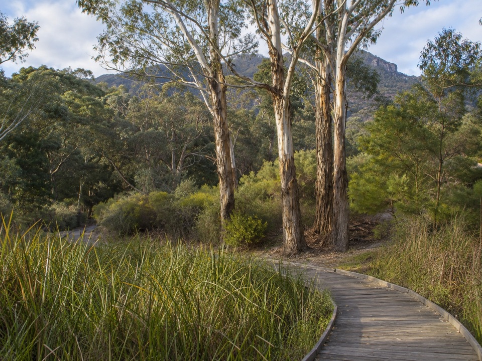 EasyBrambuk Wetland Loop Walk1.3 km · 30 min · At the trailheadFlat 1.27 km wetland and garden loop with mountain views and kangaroos
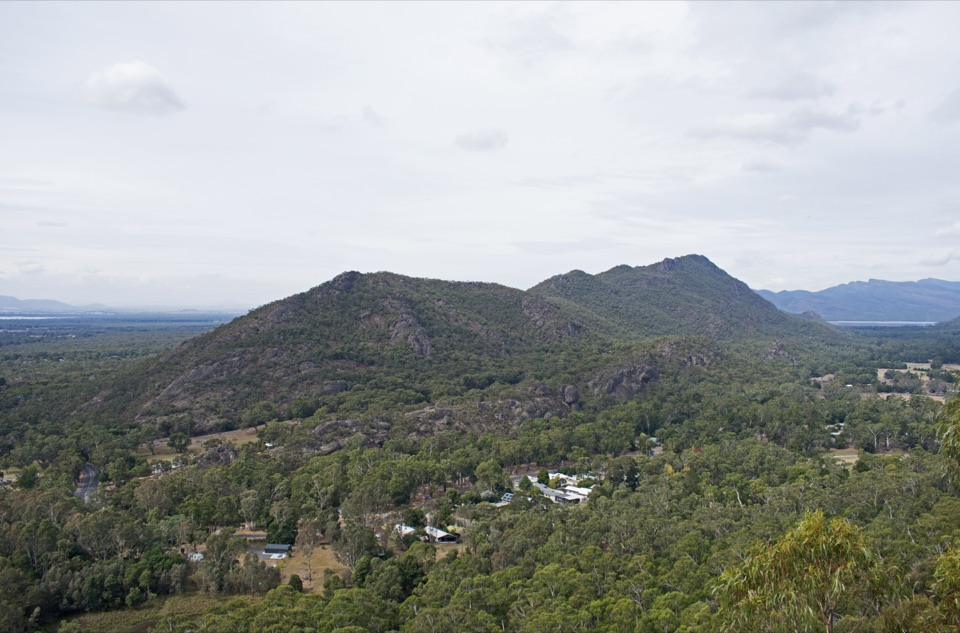 ModerateBoronia Peak Walk6.6 km · 2.8 hr · 0.8 km awaySteady forest climb to a rocky summit above Fyans Valley
 ModerateThe Pinnacle via Sundial Carpark4.2 km · 1.8 hr · 2.2 km awayRock-hop past Devil's Gap to a cliff-edge lookout over Halls Gap
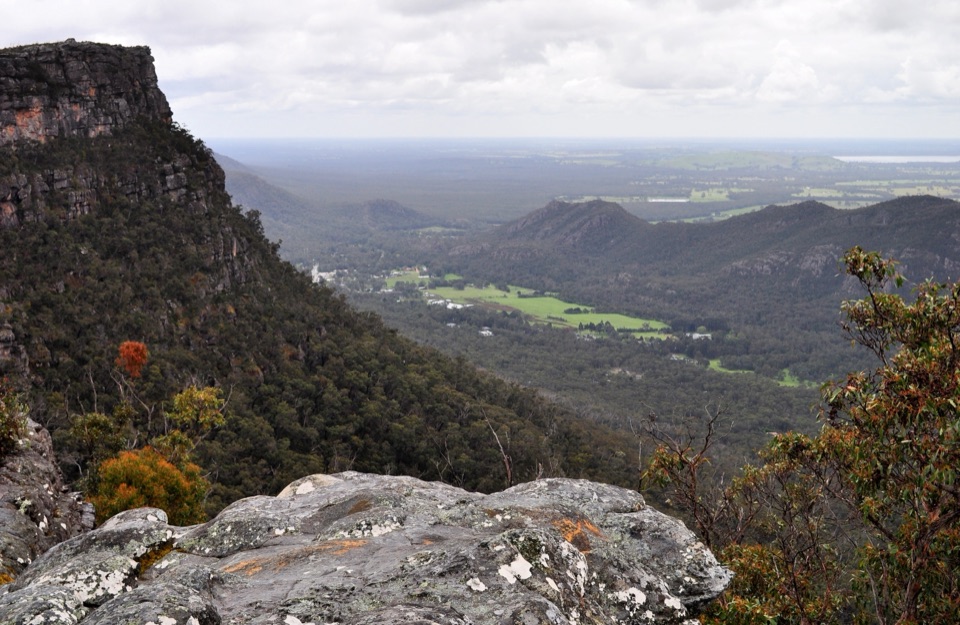 ModerateLakeview Loop Walk1.8 km · 1 hr · 2.2 km awayShort rocky circuit to a lookout over Lake Bellfield and Fyans Valley
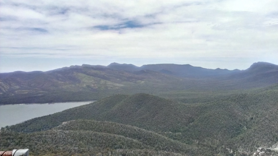 ModerateSundial Peak Walk4 km · 1.8 hr · 2.2 km awayQuiet heathy climb to a lookout over Lake Bellfield and Mount William
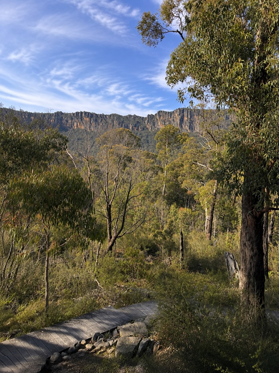 ModerateSundial Carpark to Rosea Carpark4.3 km · 2 hr · 2.2 km awayA 4.3 km wooded circuit with knoll climb and sandstone escarpment views
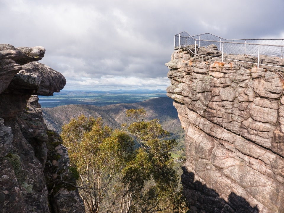 ChallengingBugiga and Barri Yalug 3-day Hike39.4 km · 18 hr · 2.3 km awayThree days from Halls Gap over The Pinnacle and Mount Rosea cliffs
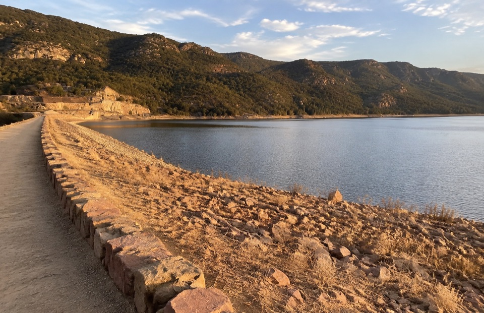 EasyLake Bellfield Wall Walk1.9 km · 45 min · 2.3 km awayShort gravel stroll across a dam wall to reservoir and ridge views
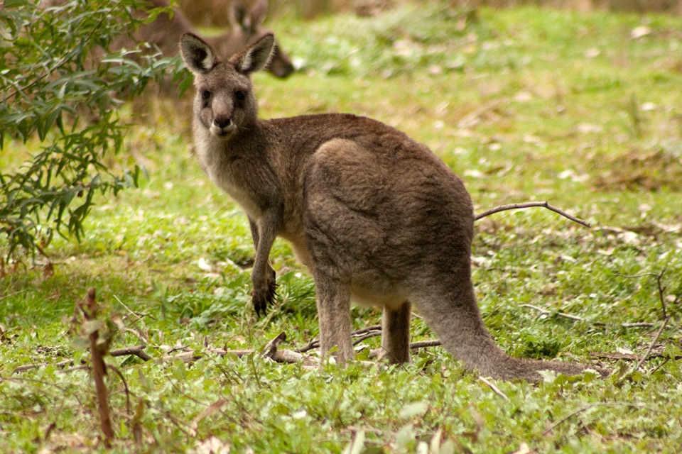 Visitor center · At the trailheadBrambuk the National Park & Cultural CentreA cultural gateway to Gariwerd stories, wildlife, and walking plans
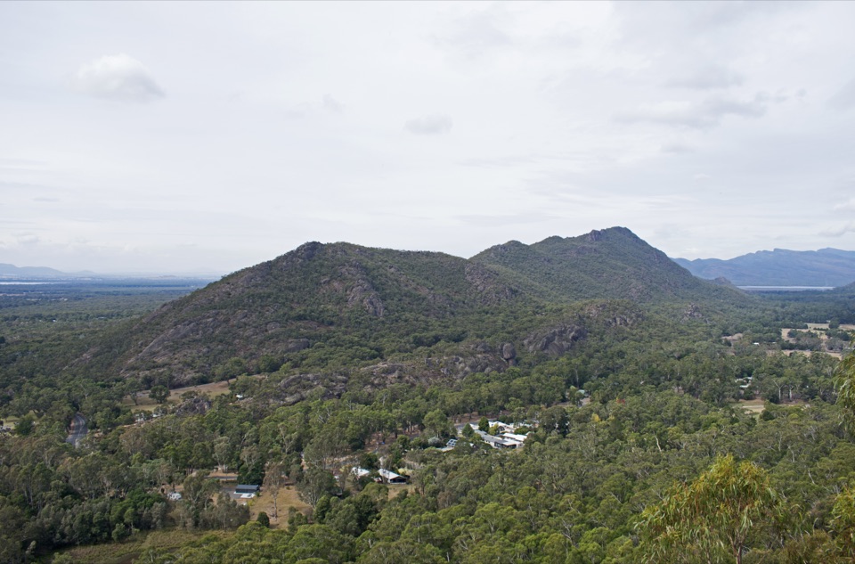 Sight · 1.1 km awayBoronia Peak360-degree views over Halls Gap, Lake Fyans, and the ranges
 Sight · 1.3 km awayPinnacle LookoutA dramatic rock platform above Halls Gap and Lake Bellfield
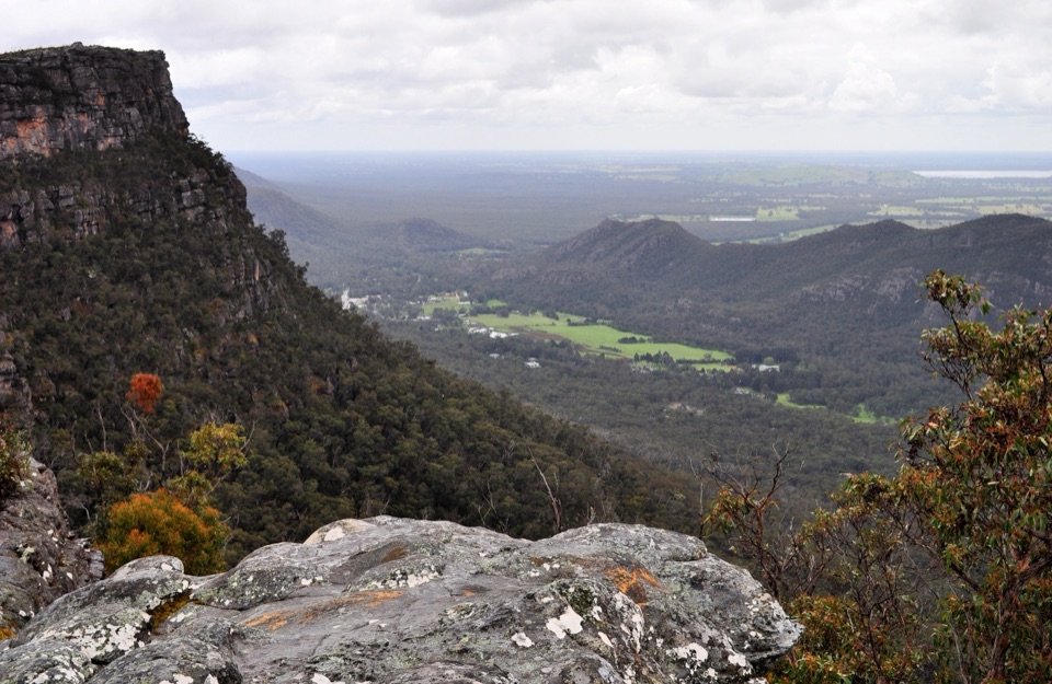 Sight · 1.9 km awayLakeview LookoutA short rocky walk to a wide Lake Bellfield panorama
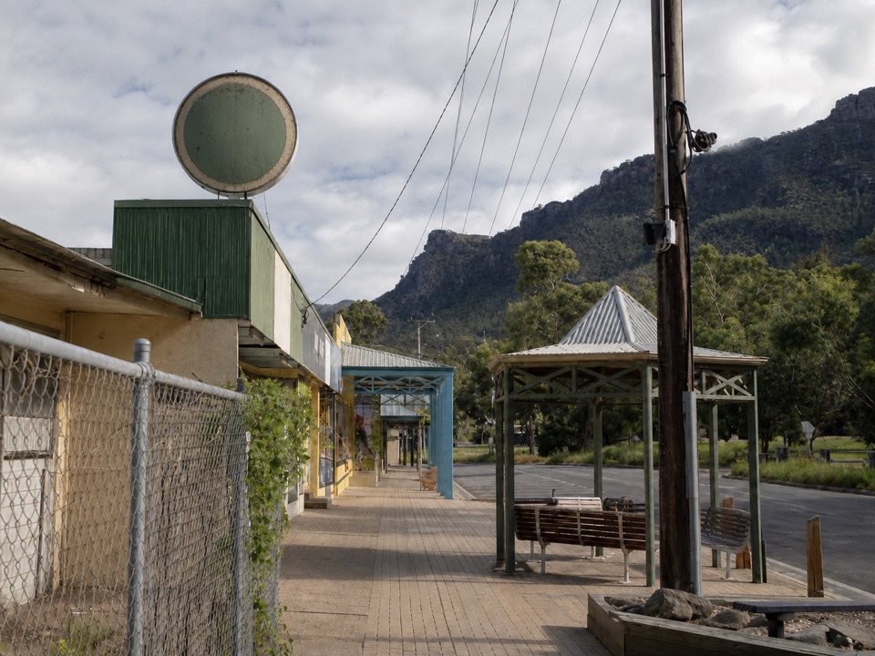 Sight · 2 km awayHalls GapA practical mountain base for central walks, wildlife, and big views
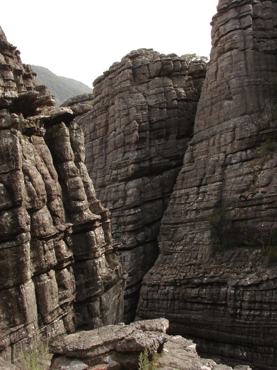 Sight · 2.3 km awayGrand CanyonA narrow sandstone gorge with ladders and seasonal cascades
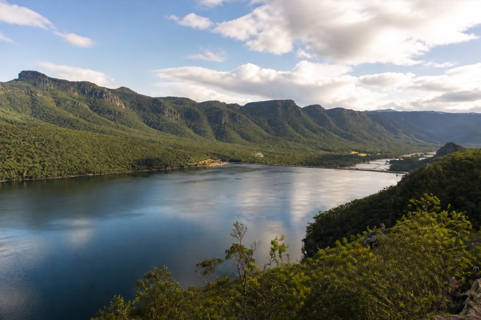 Sight · 2.3 km awayLake BellfieldAn easy dam-wall walk with calm water and mountain reflections
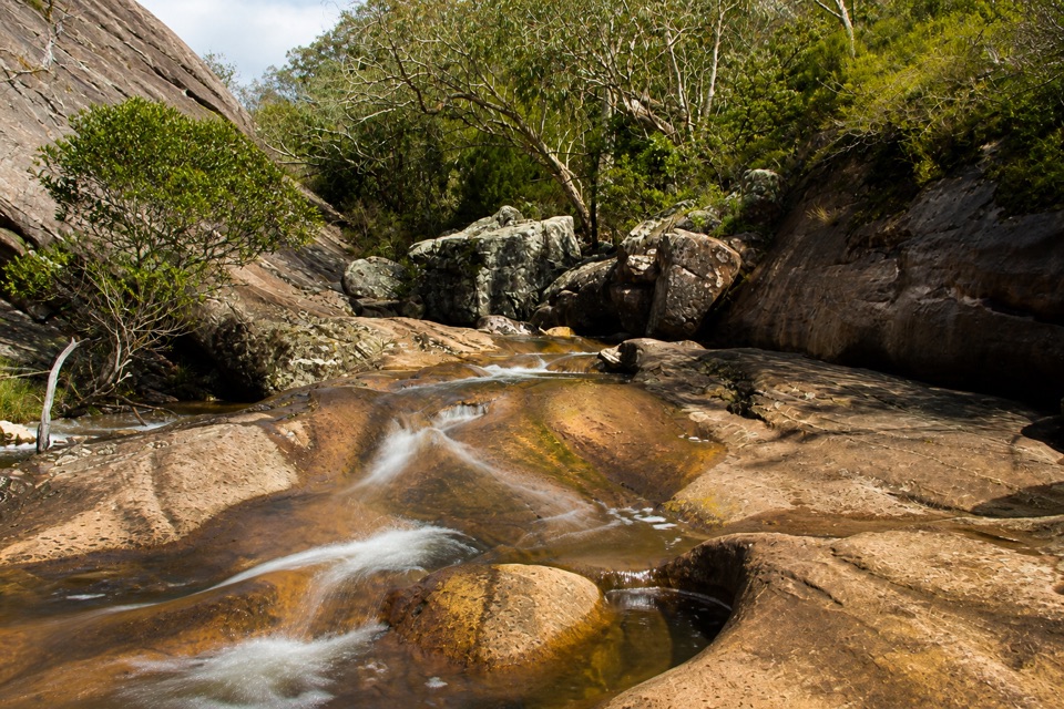 Sight · 2.8 km awayVenus BathsSmooth sandstone pools made for a cool, easy creekside wander
Parkwolf’s Grampians ranking

The audio tour guide for the drive, plus offline maps, trails, and wildlife heatmaps for when the signal drops.




