Parking
Use the lower car park beside the Grampians National Park Information Centre at 277 Grampians Road, Halls Gap. It has accessible spaces and the best direct connection to the wetland path.
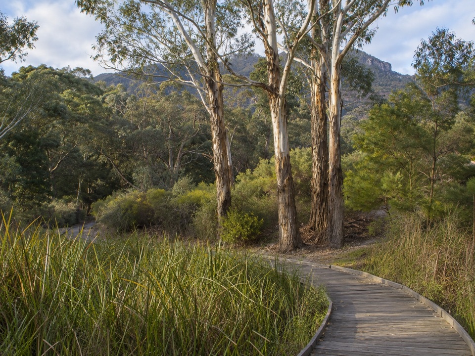
Grampians National Park, VIC
Flat 1.27 km wetland and garden loop with mountain views and kangaroos
Overview
Seasonal wetlands, native gardens and bushland, with the Gariwerd mountain backdrop behind. Interpretive signs make it a good introduction to the area for families and first-time visitors.
 Parkwolf’s verdictWhy go
Map & elevation
Plan your hike

The highest, rockiest slopes around here are a summer buffet for grizzly bears.
Grampians Tour Guide
Parkwolf is a GPS audio tour guide for Grampians National Park. As you drive, it chimes in with what’s ahead: hidden gems, upcoming stops, history, geology, and wildlife, right through your car’s speakers.
Recorded for this trailhead
Brambuk: Wildlife and Wetland Walks“Brambuk, the National Park and Cultural Centre, is coming up, and I'd allow time to explore the grounds as well as the information desk.”
Plays as you drive up to this trailhead in the Parkwolf Grampians Tour Guide.
More stories near here in the app
“Fantastic app with many points of information… It’s great to just turn on while you’re driving and it gives you an audio tour of the national Park. We love it!!!!”


Trail guide
A closed loop of 1.27 km, easy at about 2/10, taking around 30 minutes, or 30 to 45 minutes if you stop to read signs, watch wildlife or linger in the gardens. It begins and ends at the lower car park beside the Grampians National Park Information Centre, about 2 km south of Halls Gap.
The loop links the Information Centre with the Cultural Centre, so it works well as a short leg stretch before or after a visit.
Surfaces are asphalt, timber boardwalk and compacted gravel, generally smooth, firm and gently undulating, with no steps. The path is wide enough for passing and is described as accessible by foot, wheelchair or other mobility aid. Note that one garden boardwalk is slightly uneven and has buffered edging but no safety rails, so check it suits your own needs before setting out.
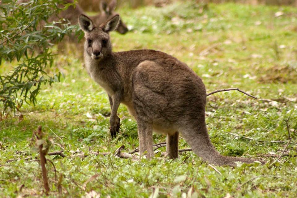
Kangaroos, emus and a good variety of native birds are all seen in this precinct, though nothing is guaranteed. Early morning and late afternoon give the best chance.
The separate Fyans Creek Loop Walk runs 2.7 km from Brambuk toward Tandara Road and is the natural next step if this loop leaves you wanting a longer walk from the same starting area.
Wildlife
 157 sightingsShort-beaked EchidnaMost seen around 6 PMSighting map
 37 sightingsPowerful OwlMost seen around 6 PMSighting map
 59 sightingsWedge-tailed EagleMost seen around 11 AMSighting map
 24 sightingsEastern Brown SnakeMost seen around 11 AMSighting map
 10 sightingsTiger SnakeMost seen around noonSighting map
 29 sightingsRed-bellied Black SnakeMost seen around 11 AMSighting map
Sighting maps show where each species has been reported across Grampians. Wildlife moves, so no sighting is guaranteed.
Keep exploring
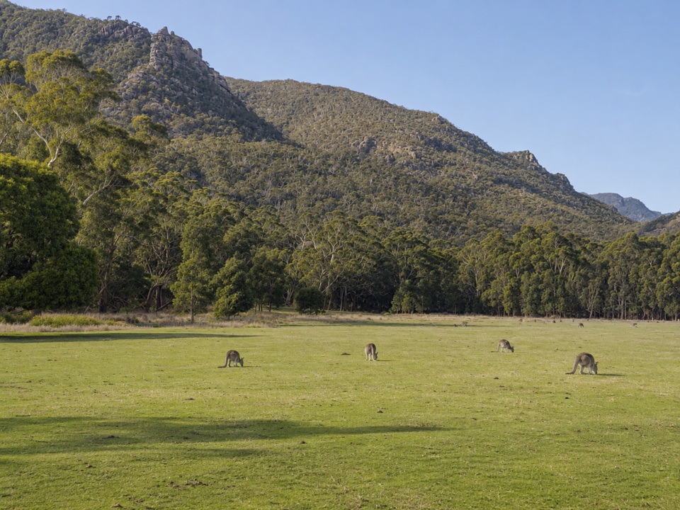 EasyFyans Creek Loop Walk2.7 km · 1 hr · At the trailheadGentle valley loop past a dry creek, wattles and dawn wildlife
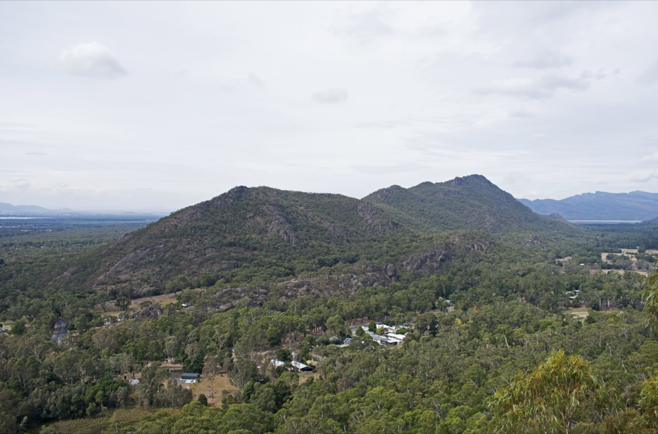 ModerateBoronia Peak Walk6.6 km · 2.8 hr · 0.7 km awaySteady forest climb to a rocky summit above Fyans Valley
 ModerateThe Pinnacle via Sundial Carpark4.2 km · 1.8 hr · 2.2 km awayRock-hop past Devil's Gap to a cliff-edge lookout over Halls Gap
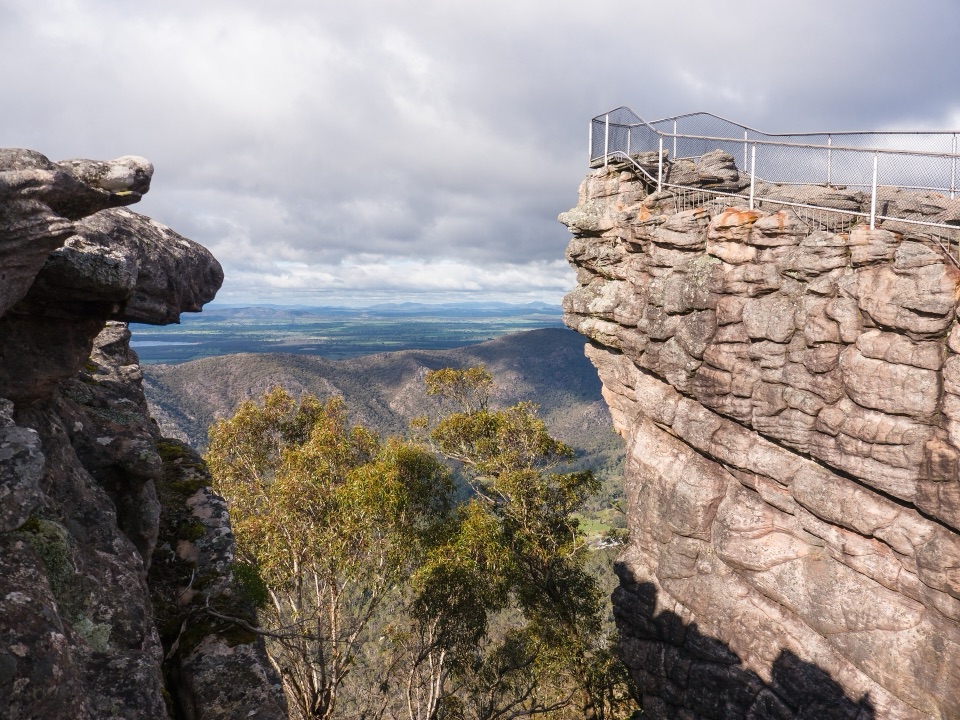 ChallengingBugiga and Barri Yalug 3-day Hike39.4 km · 18 hr · 2.2 km awayThree days from Halls Gap over The Pinnacle and Mount Rosea cliffs
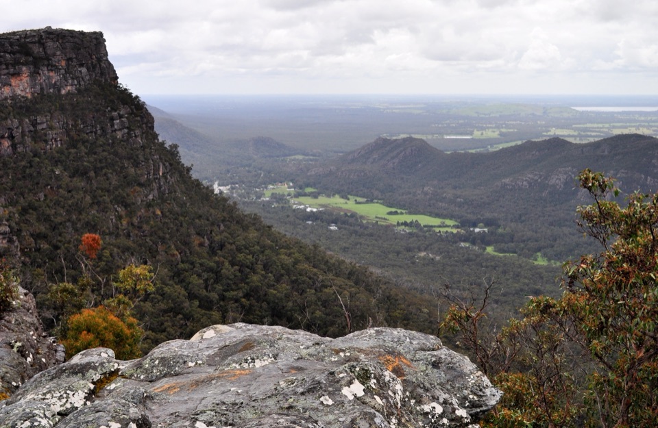 ModerateLakeview Loop Walk1.8 km · 1 hr · 2.2 km awayShort rocky circuit to a lookout over Lake Bellfield and Fyans Valley
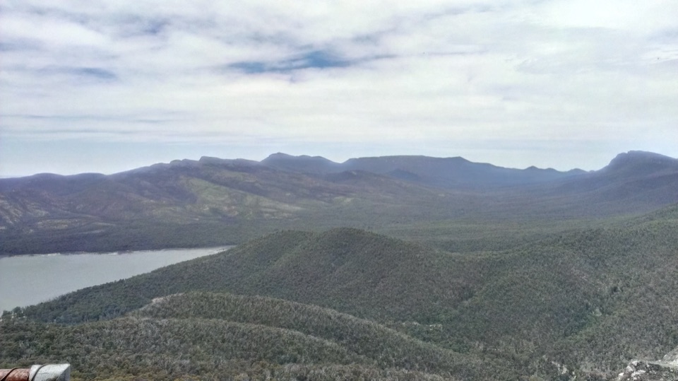 ModerateSundial Peak Walk4 km · 1.8 hr · 2.2 km awayQuiet heathy climb to a lookout over Lake Bellfield and Mount William
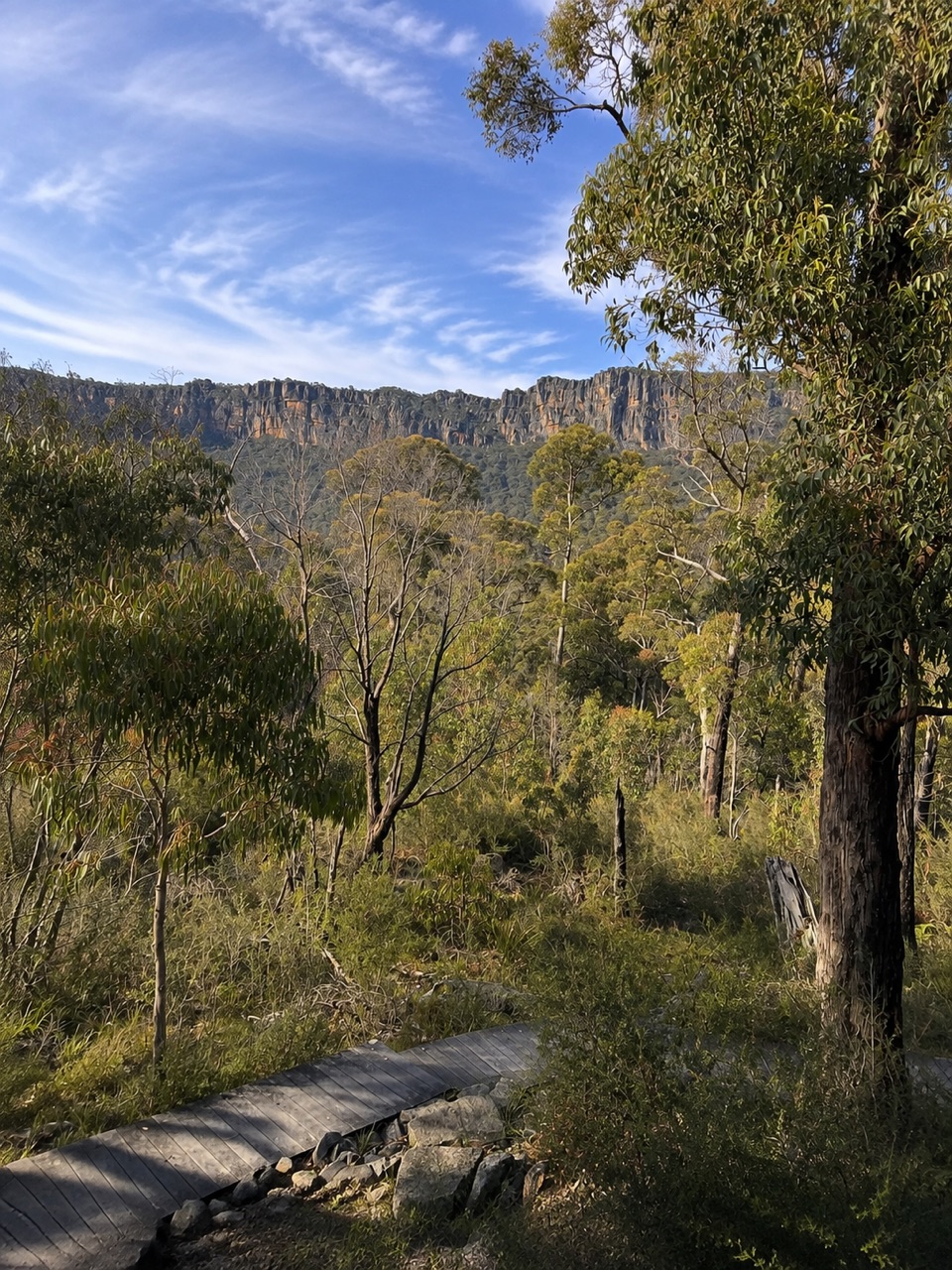 ModerateSundial Carpark to Rosea Carpark4.3 km · 2 hr · 2.2 km awayA 4.3 km wooded circuit with knoll climb and sandstone escarpment views
 ModerateHalls Gap to The Pinnacle9.6 km · 5 hr · 2.3 km awaySteep sandstone climb to a wide lookout, then a canyon-lined return
 Visitor center · At the trailheadBrambuk the National Park & Cultural CentreA cultural gateway to Gariwerd stories, wildlife, and walking plans
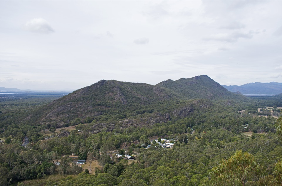 Sight · 1.1 km awayBoronia Peak360-degree views over Halls Gap, Lake Fyans, and the rangesSight · 1.3 km awayPinnacle LookoutA dramatic rock platform above Halls Gap and Lake Bellfield
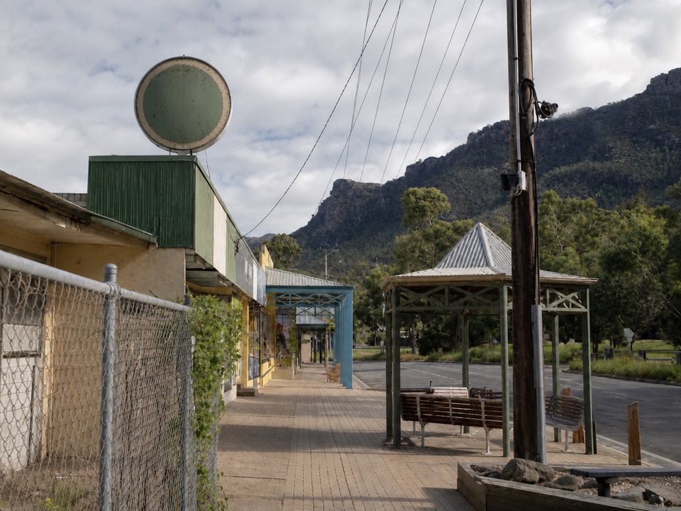 Sight · 1.9 km awayHalls GapA practical mountain base for central walks, wildlife, and big views
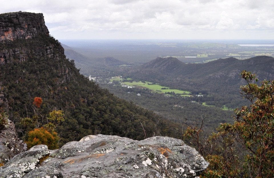 Sight · 1.9 km awayLakeview LookoutA short rocky walk to a wide Lake Bellfield panorama
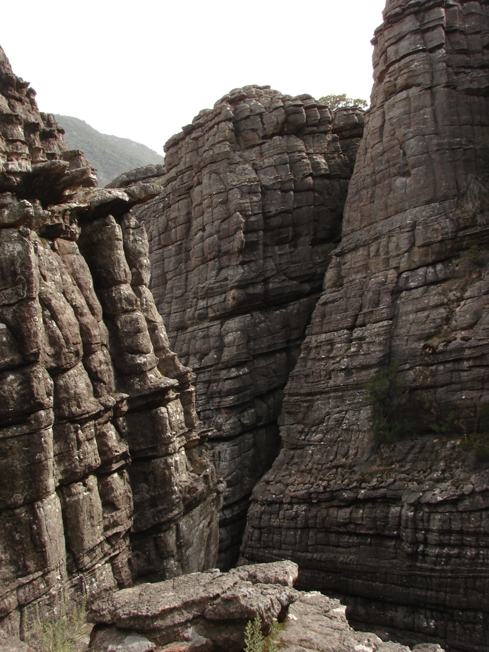 Sight · 2.3 km awayGrand CanyonA narrow sandstone gorge with ladders and seasonal cascades
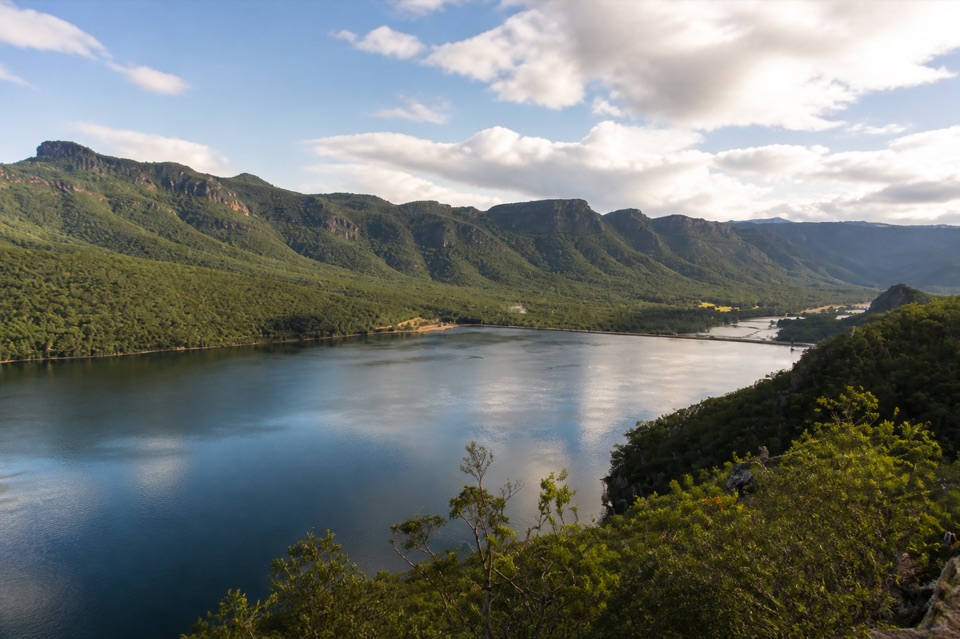 Sight · 2.4 km awayLake BellfieldAn easy dam-wall walk with calm water and mountain reflections
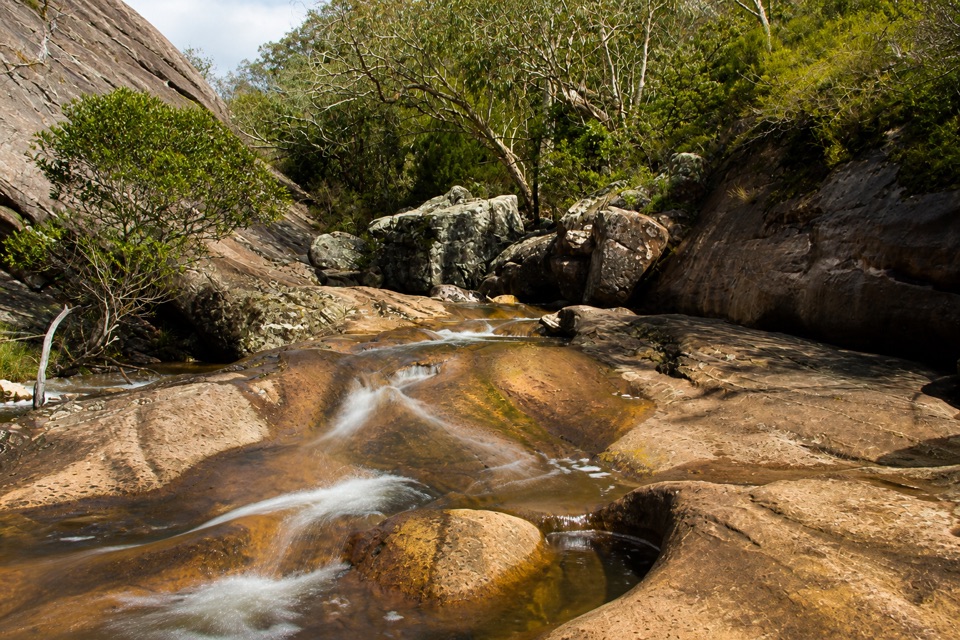 Sight · 2.7 km awayVenus BathsSmooth sandstone pools made for a cool, easy creekside wander
Parkwolf’s Grampians ranking
The audio tour guide for the drive, plus offline maps, trails, and wildlife heatmaps for when the signal drops.




