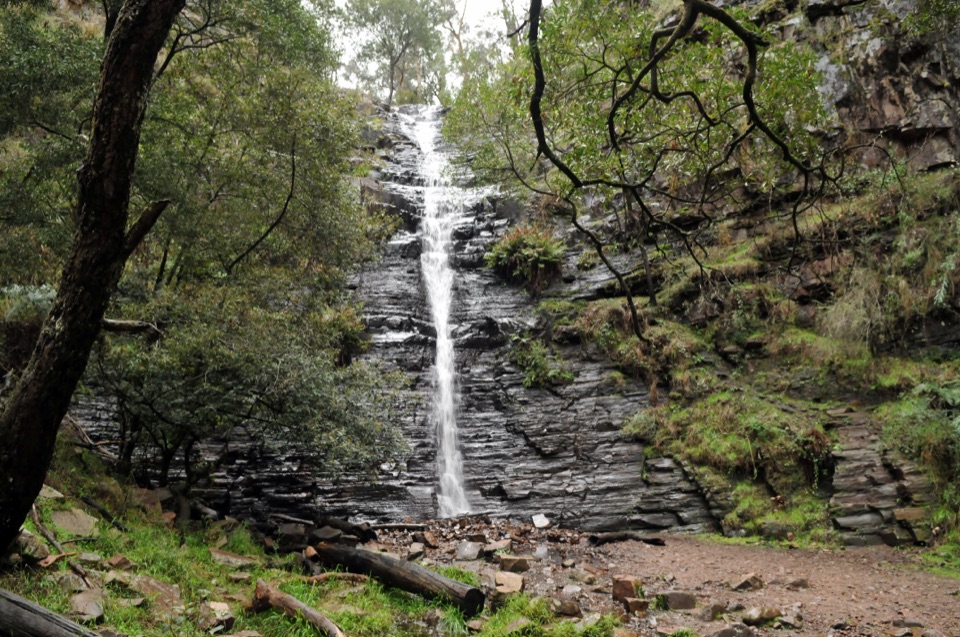
Silverband Falls in Grampians National Park

#10 of 46 sights in Grampians

Sight · Grampians National Park

Silverband Falls

A ferny walk to water that vanishes into the rocky creek bed

Photo: Wikimedia Commons
Type
Sight
Nearest trail
0.8 km
Audio stories
5 nearby
  • Parking

Hear the audio tour

Silverband Falls: The Disappearing Stream

Overview

About Silverband Falls

Why stop

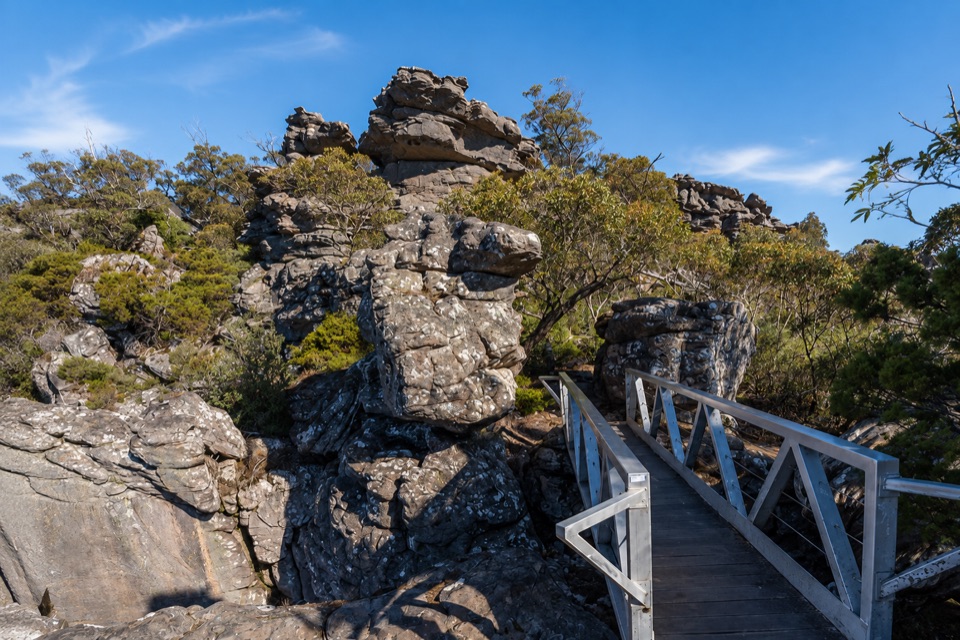
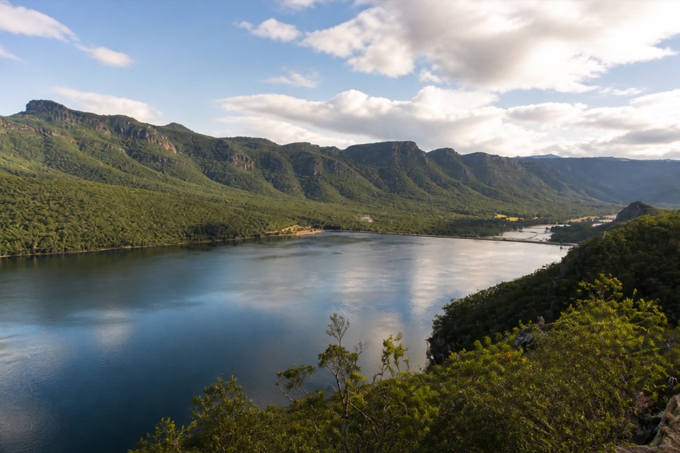
  • Ferny setting and layered rock make strong close-up photos

Heads up

  • Water flow can be disappointing during dry weather
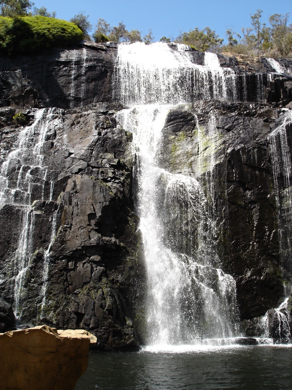
Silverband Falls is a slender, roughly 30-metre waterfall in the Wonderland Range. A narrow stream drops over dark, layered rock, then slips into the rocky creek bed instead of ending in a deep plunge pool. After a short walk through ferny bushland, the falls make an intimate, close-up stop that feels different from the Grampians' big lookouts and broad cascades.
Parkwolf’s verdictWhy stop

Map

Where it is

Loading the Grampians map
Full map
SightSilverband Falls-37.19394, 142.52233
Keep this map with you offline in the Parkwolf app

Plan your stop

Before you go

Best time to go

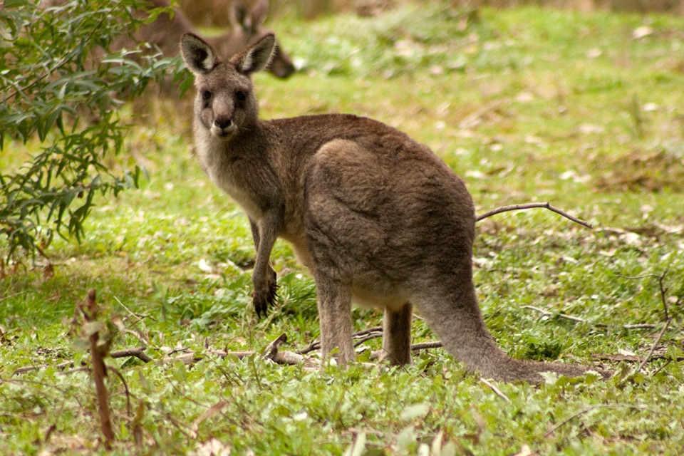
Water flow is seasonal. Cooler months and the period after rain give you the best chance of seeing a fuller fall, while dry weather can leave the stream thin or absent. Spring adds wildflowers along the approach. Soft or overcast light is kind to the dark rock and bright water, and is easier to photograph than harsh midday sun. In the surrounding bush, keep an eye out for yellow robins; wedge-tailed eagles may circle high above, but wildlife is a bonus rather than a guarantee.


5 active Grampians alerts

  • ClosureBushfire-damaged walks and picnic area remain closedThe Fortress, Red Gum, Billimina, Chimney Pots and Brownings Loop walks, plus Mafeking Picnic Area, remain closed because of track or site damage from the 2024/25 summer bushfires.Official details
  • ClosureMackenzie Falls precinct closed during constructionThe Mackenzie Falls (Migunang wirab) Precinct has no vehicle or visitor access during major construction works expected to finish by the end of 2026.Official details
See all 5 alerts
A park ranger sits on a dash-mounted phone, talking, as Parkwolf’s Tour Guide plays “Army Cutworm Moths: A Grizzly Bear Buffet” on Grand Loop Road below Dunraven Pass in Yellowstone
Parkwolf Tour GuideThe highest, rockiest slopes around here are a summer buffet for grizzly bears.

Grampians Tour Guide

Your drive to Silverband Falls, narrated.

Parkwolf is a GPS audio tour guide for Grampians National Park. As you drive, it chimes in with what’s ahead: hidden gems, upcoming stops, history, geology, and wildlife, right through your car’s speakers.

Recorded for this place

Silverband Falls: The Disappearing Stream
0:00 / 0:45
“Silverband Falls Carpark is coming up, with a short forest walk to a waterfall that does something worth looking closely at.”

Plays as you drive up to Silverband Falls in the Parkwolf Grampians Tour Guide.

More stories near here in the app

  • The Cockatoo with a Creaky Call
  • Mount Rosea: The Gate of the East Wind
  • Lake Bellfield: A Walk on the Dam Wall
  • Lakeview Lookout from Sundial
  • 233 audio storiesacross Grampians’s roads, triggered by GPS as you drive
  • Wildlife heatmapsfor Short-beaked Echidna, Powerful Owl, Wedge-tailed Eagle, and 13 more
  • Works offlinemaps, 81 trails, 62 places, and audio download before you lose signal
  • CarPlay readysimple controls built for the drive
★★★★★
“Fantastic app with many points of information… It’s great to just turn on while you’re driving and it gives you an audio tour of the national Park. We love it!!!!”
JMJamesApp Store review
Download Parkwolf on the App StoreGet Parkwolf on Google Play

4.7 from 8,600+ ratings

Guide

More about Silverband Falls

Walk and what you'll seeFrom Silverband Falls Carpark on Silverband Road, the walk is roughly 1.4 to 1.

From Silverband Falls Carpark on Silverband Road, the walk is roughly 1.4 to 1.6 kilometres return and usually takes 30 to 45 minutes. The track is generally easy and fairly flat, with natural rocky or uneven surfaces and a small bridge or creek crossing. The falls are at the end of the walk. Take time to watch the water disappear among the rocks and reappear farther downstream. This is a walk, not a drive-up viewpoint, so wear shoes with grip, especially after rain.

Know before you goThere is parking at the carpark, but this is a simple nature stop rather than a serviced picnic…

There is parking at the carpark, but this is a simple nature stop rather than a serviced picnic precinct. Bring drinking water, snacks, sun protection and a light layer. The base is rocky and damp, so treat it as a viewing area rather than a swimming hole or scrambling route. Dogs are not allowed in the national park. Silverband Falls is worth adding to a Halls Gap day, especially when water is running, but it is easy to overrate in a dry spell and it does not have the scale of MacKenzie Falls.

Wildlife

Wildlife in Grampians

All Grampians wildlife maps

Sighting maps show where each species has been reported across Grampians. Wildlife moves, so no sighting is guaranteed.

Keep exploring

Near Silverband Falls

See it all on the map

Trails nearby

More stops nearby

Parkwolf’s Grampians ranking

Top sights in Grampians

All 62 places
  1. 1MacKenzie Falls (Migunang wirab)Sight
  2. 2Pinnacle LookoutSight
  3. 3Boroka LookoutSight
  4. 4Reeds LookoutSight
  5. 5The BalconiesSight
  6. 6Mount William (Duwul)Sight

Take Parkwolf to Grampians.

The audio tour guide for the drive, plus offline maps, trails, and wildlife heatmaps for when the signal drops.

4.7 from 8,600+ ratings

Download Parkwolf on the App StoreGet Parkwolf on Google Play