Parking
Start at Rosea Carpark on Stony Creek Road near the Sundial turntable area. There are no toilets at this trailhead.
#8 of 81 trails in Grampians
Grampians National Park, VIC
Steady forest climb to a rocky ridge, chasm bridge and 360-degree summit
Overview
Map & elevation
Plan your hike

The highest, rockiest slopes around here are a summer buffet for grizzly bears.
Grampians Tour Guide
Parkwolf is a GPS audio tour guide for Grampians National Park. As you drive, it chimes in with what’s ahead: hidden gems, upcoming stops, history, geology, and wildlife, right through your car’s speakers.
Recorded for this trailhead
Mount Rosea: The Gate of the East Wind“You're approaching Rosea Carpark, where the Mount Rosea walk leads into some wonderfully shaped sandstone country.”
Plays as you drive up to this trailhead in the Parkwolf Grampians Tour Guide.
More stories near here in the app
“Fantastic app with many points of information… It’s great to just turn on while you’re driving and it gives you an audio tour of the national Park. We love it!!!!”


Trail guide
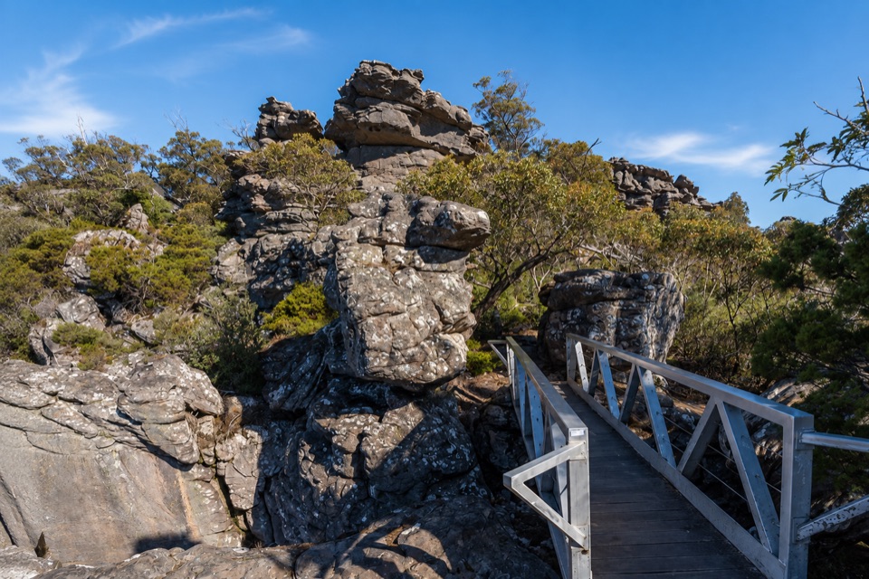
From Rosea Carpark the track starts wide and sandy, climbing gradually through tall messmate forest with heath understorey. After the first couple of kilometres the grade steepens and the surface turns to rock, leading onto an open ridge among weathered sandstone outcrops. Higher up the route crosses a footbridge at the well known Gate of the East Wind rock formation, spanning a deep chasm, then finishes across exposed rock slabs to the Mount Rosea summit at around 1006 m, where there is a viewing platform with a direction dial.
The lower forest section is the easiest walking. Beyond it the track becomes uneven, with rock slabs, loose stone and short steep pitches, and the ridge is open to wind and sun. Care is needed near unstable cliff edges and on rock that becomes slippery. Sturdy footwear with good grip makes a real difference on the upper half.
The ridge and summit open out to a full sweep of country, including the Serra and Mount William Ranges, with the Victoria Valley and surrounding ranges visible along the way. The sandstone formations, the bridge over the chasm and the summit platform are the standout stopping points for photographs.
Wildlife
 157 sightingsShort-beaked EchidnaMost seen around 6 PMSighting map
 37 sightingsPowerful OwlMost seen around 6 PMSighting map
 59 sightingsWedge-tailed EagleMost seen around 11 AMSighting map
 24 sightingsEastern Brown SnakeMost seen around 11 AMSighting map
 10 sightingsTiger SnakeMost seen around noonSighting map
 29 sightingsRed-bellied Black SnakeMost seen around 11 AMSighting map
Sighting maps show where each species has been reported across Grampians. Wildlife moves, so no sighting is guaranteed.
Keep exploring
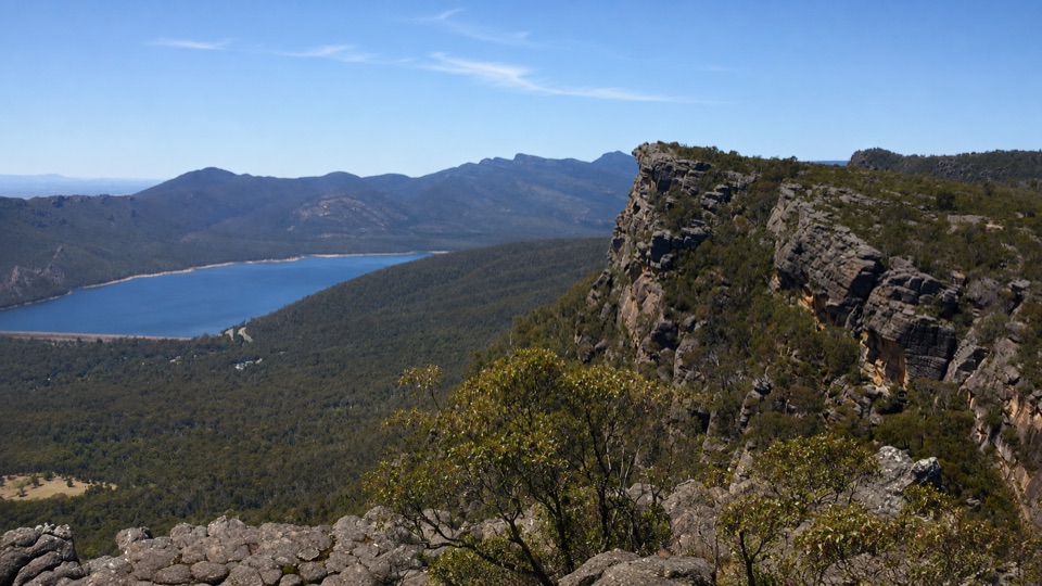 ChallengingBarri Yalug Overnight Hike45.7 km · 18 hr · At the trailheadTwo hard days over sandstone ridges from Mount Rosea to Mount William
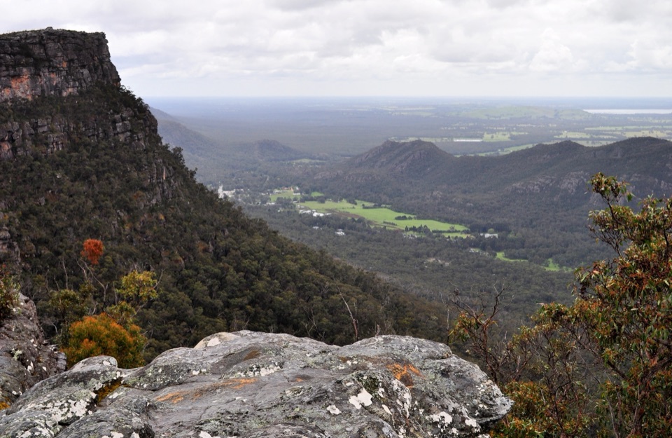 ModerateLakeview Loop Walk1.8 km · 1 hr · 1.3 km awayShort rocky circuit to a lookout over Lake Bellfield and Fyans Valley
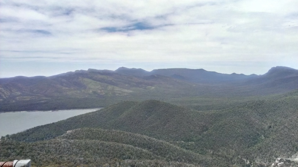 ModerateSundial Peak Walk4 km · 1.8 hr · 1.3 km awayQuiet heathy climb to a lookout over Lake Bellfield and Mount William
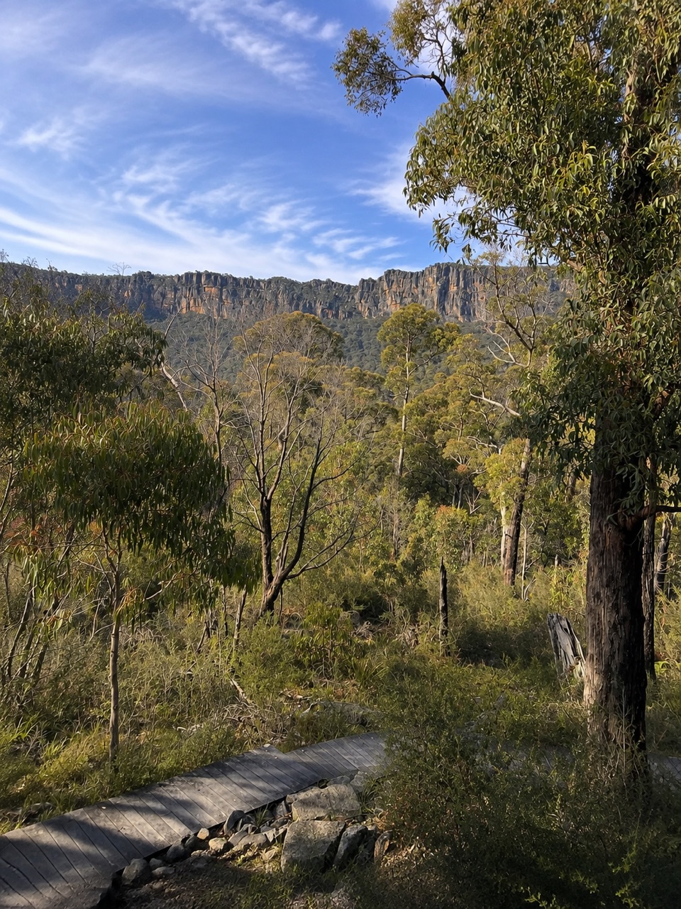 ModerateSundial Carpark to Rosea Carpark4.3 km · 2 hr · 1.3 km awayA 4.3 km wooded circuit with knoll climb and sandstone escarpment views
 ModerateThe Pinnacle via Sundial Carpark4.2 km · 1.8 hr · 1.3 km awayRock-hop past Devil's Gap to a cliff-edge lookout over Halls Gap
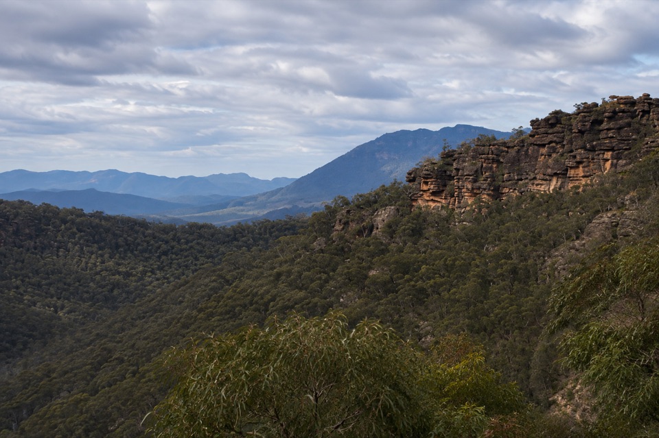 ChallengingTower Hill Walk4.6 km · 3 hr · 2.1 km awaySteep overgrown climb to a rocky summit with wide valley views
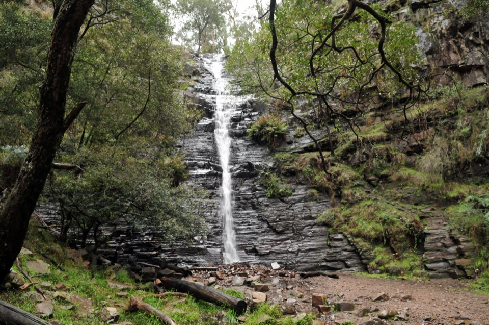 EasySilverband Falls Walk1.6 km · 45 min · 3.2 km awayFerny creekside stroll to a narrow cascade over dark layered rock
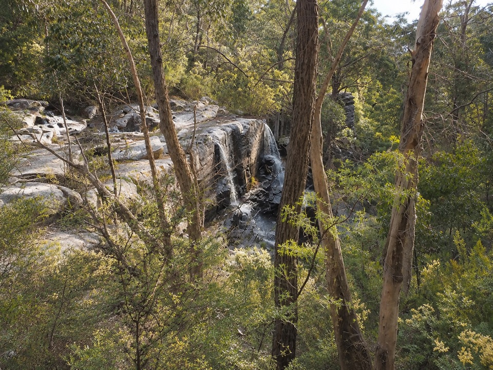 ModerateTurret Falls Walk2.4 km · 1 hr · 3.2 km awayShort gorge climb to a terraced seasonal falls seen from rocky ledges
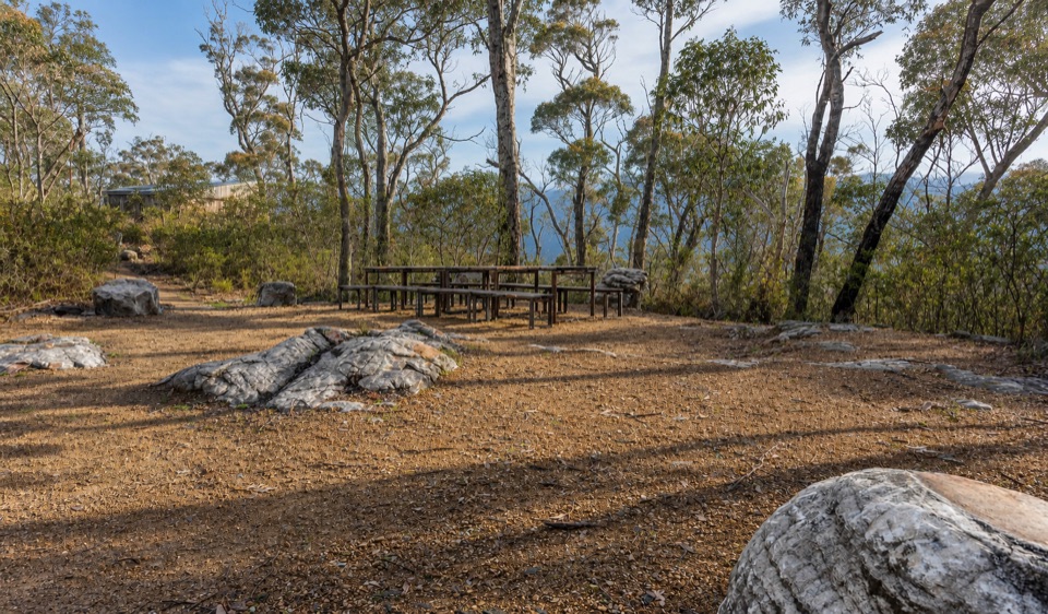 Campground · 1.6 km awayStony Creek Group CampgroundA quiet group camp among pines, granite, and mountain views
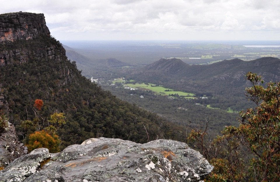 Sight · 1.7 km awayLakeview LookoutA short rocky walk to a wide Lake Bellfield panoramaSight · 2 km awaySundial PeakA quiet summit view over Lake Bellfield and the western ranges
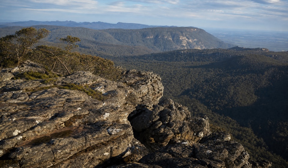 Sight · 2 km awayMount Rosea (Bugiga Mirgani)A rugged summit scramble with wide views across the rangesSight · 2.4 km awaySilverband FallsA ferny walk to water that vanishes into the rocky creek bed
 Sight · 2.4 km awayPinnacle LookoutA dramatic rock platform above Halls Gap and Lake Bellfield
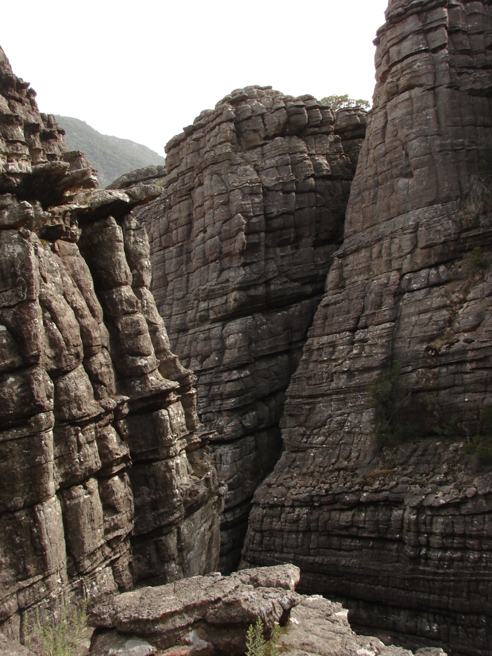 Sight · 3.1 km awayGrand CanyonA narrow sandstone gorge with ladders and seasonal cascades
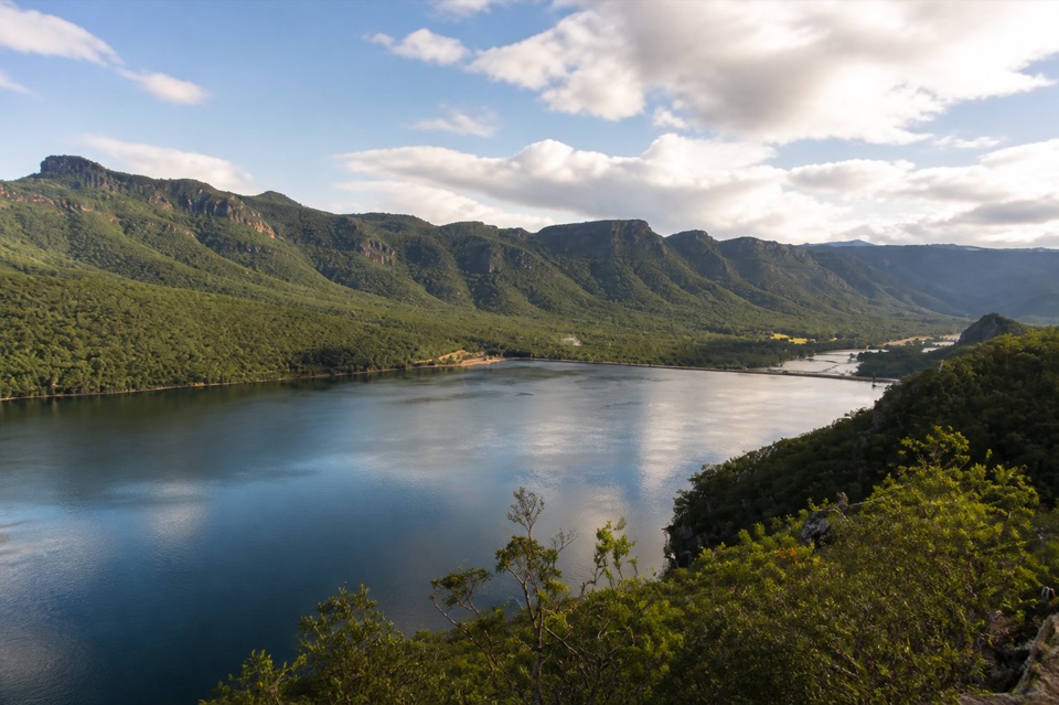 Sight · 3.3 km awayLake BellfieldAn easy dam-wall walk with calm water and mountain reflections
Parkwolf’s Grampians ranking

The audio tour guide for the drive, plus offline maps, trails, and wildlife heatmaps for when the signal drops.




