Parking
Start near Halls Gap Botanic Gardens, using the nearby surface parking. The route ends at the Boroka Lookout car park, but this record represents the hike from Halls Gap.
Grampians National Park, VIC
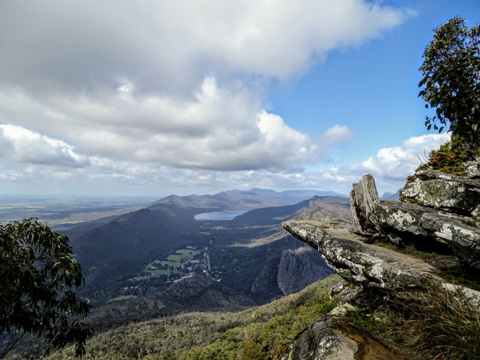
Steep 12 km climb through stringybark forest to a cliff-edge panorama
Overview
Map & elevation
Plan your hike

The highest, rockiest slopes around here are a summer buffet for grizzly bears.
Grampians Tour Guide
Parkwolf is a GPS audio tour guide for Grampians National Park. As you drive, it chimes in with what’s ahead: hidden gems, upcoming stops, history, geology, and wildlife, right through your car’s speakers.
Recorded for this trailhead
Chatauqua Peak and Clematis Falls“You're nearing the Halls Gap Recreation Reserve area, the walking access for Chatauqua Peak and Clematis Falls. Head for the reserve and the signed path by the oval, rather than trying to drive to the waterfall itself.”
Plays as you drive up to this trailhead in the Parkwolf Grampians Tour Guide.
More stories near here in the app
“Fantastic app with many points of information… It’s great to just turn on while you’re driving and it gives you an audio tour of the national Park. We love it!!!!”


Trail guide
This is the long way to Boroka Lookout: a marked return walk of 11.98 km (about 7.44 miles) that starts down in Halls Gap and climbs the eastern slopes of the Mount Difficult Range to the lookout, then comes back down the same corridor. Do not confuse it with the easy stroll from the lookout car park up on the range. That one is a few minutes on foot. This one is a Grade 4 day walk with roughly 600 m of climbing on the way up.
From the Botanic Gardens edge of Halls Gap, the track picks up the marked path network and heads uphill on a single 5.70 km corridor to the lookout. The first 3.5 km or so is a steady grind through dry, rocky eucalypt and stringybark forest with occasional glimpses out, and then the final section steepens noticeably before you top out near 844 m. Two lookout platforms sit at the destination.
From the top you get the Halls Gap valley laid out below, Lake Bellfield, the Wonderland Range opposite, and away east the Mt William range and the farmland plains. Being higher than the Pinnacle, it gives a broader sense of how the whole valley fits together.
Start from the Halls Gap Botanic Gardens access rather than driving to the lookout itself. There is surface parking beside the access point and a guidepost at the junction where the marked Halls Gap paths begin.
The cliff tops at the lookout are unstable in places, with drop-offs and the risk of edge collapse, and rock can be slippery when wet. Stay behind railings and off the exposed edges, and keep children close.
If you have done the Pinnacle walk from Halls Gap, this is a longer and steadier climb with less scrambling through rock formations and a bigger open outlook at the end. It also tends to be quieter than the Pinnacle route. If you only want the view and not the effort, the lookout is reachable by road with a short easy walk from the car park.
Wildlife
 157 sightingsShort-beaked EchidnaMost seen around 6 PMSighting map
 37 sightingsPowerful OwlMost seen around 6 PMSighting map
 59 sightingsWedge-tailed EagleMost seen around 11 AMSighting map
 24 sightingsEastern Brown SnakeMost seen around 11 AMSighting map
 10 sightingsTiger SnakeMost seen around noonSighting map
 29 sightingsRed-bellied Black SnakeMost seen around 11 AMSighting map
Sighting maps show where each species has been reported across Grampians. Wildlife moves, so no sighting is guaranteed.
Keep exploring
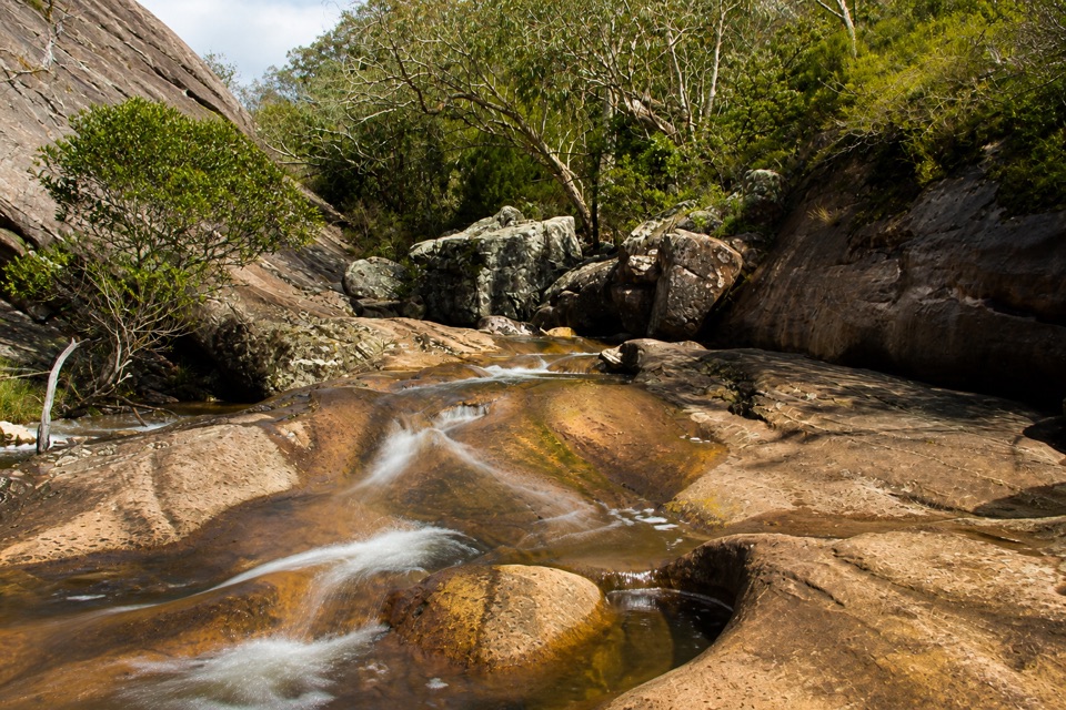 EasyVenus Baths Loop Walk2.3 km · 1 hr · At the trailheadSmooth sandstone pools on Stony Creek, an easy 2.3 km family circuit
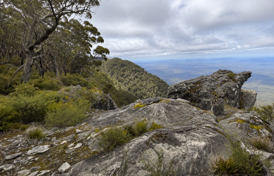 ChallengingWerdug Overnight Hike26 km · 13 hr · At the trailheadSteep escarpment climb to a high hike-in camp above Lake Wartook
 ModerateHalls Gap to The Pinnacle9.6 km · 5 hr · 0.1 km awaySteep sandstone climb to a wide lookout, then a canyon-lined return
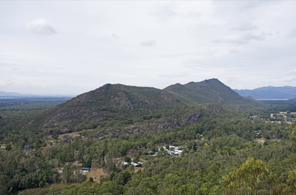 ModerateChatauqua Peak Loop Walk6.3 km · 2.5 hr · 0.1 km awaySteep rocky summit above Halls Gap, with fern gullies and a waterfall
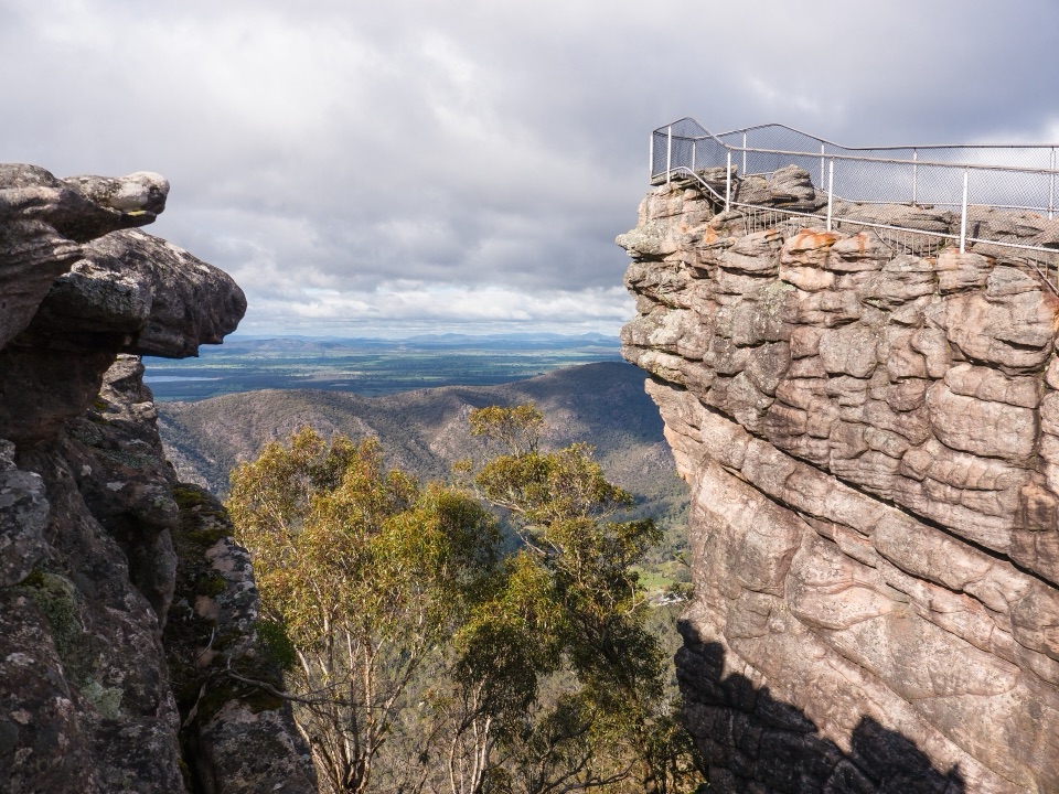 ChallengingBugiga and Barri Yalug 3-day Hike39.4 km · 18 hr · 0.2 km awayThree days from Halls Gap over The Pinnacle and Mount Rosea cliffs
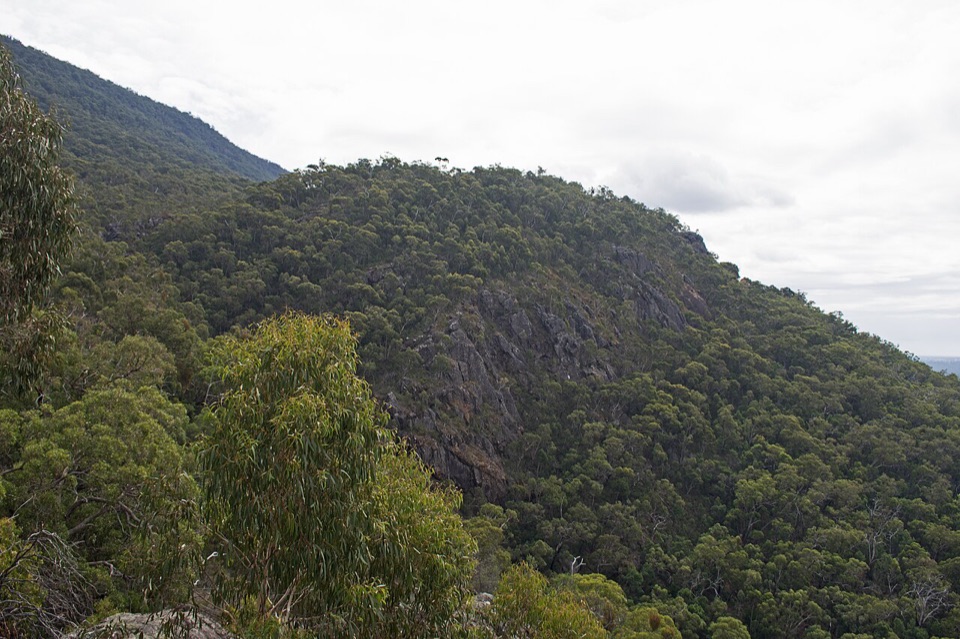 EasyClematis Falls Walk2.4 km · 1 hr · 0.3 km awayShort forest stroll to a seasonal falls under sandstone cliffs
 ChallengingBugiga Overnight Hike22.3 km · 14 hr · 0.3 km awayGrand Canyon, the Pinnacle, Mount Rosea: two hard days with a pack
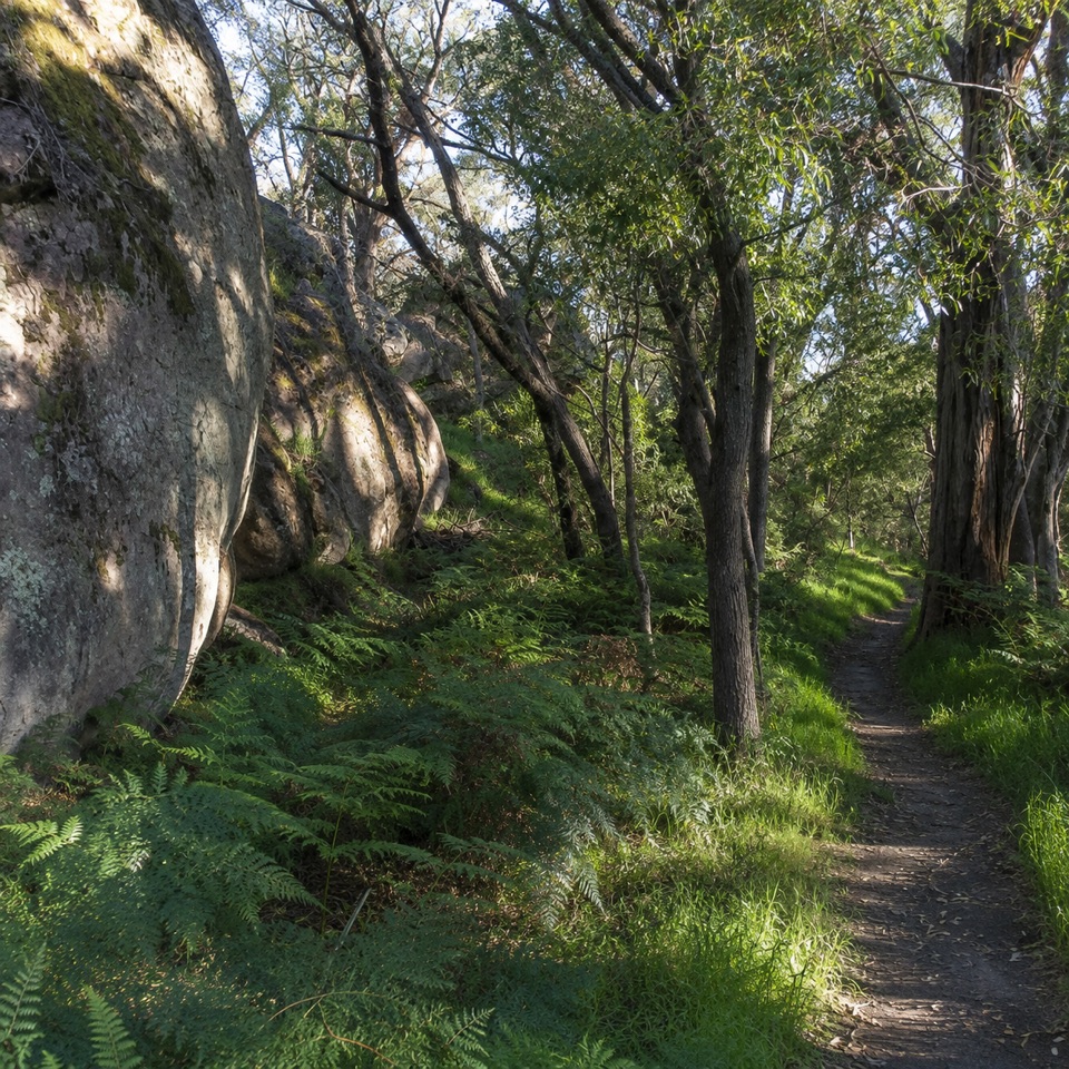 ModerateDelleys Bridge Walking Track2.7 km · 1.3 hr · 1 km awayEscarpment path above Fyans Creek, with steps, boardwalk and forest cover
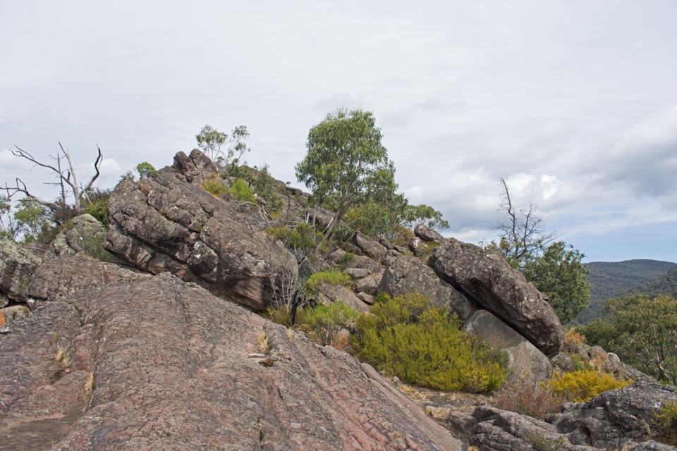 Sight · 0.5 km awayChatauqua PeakA rocky summit scramble with wide views over Halls Gap
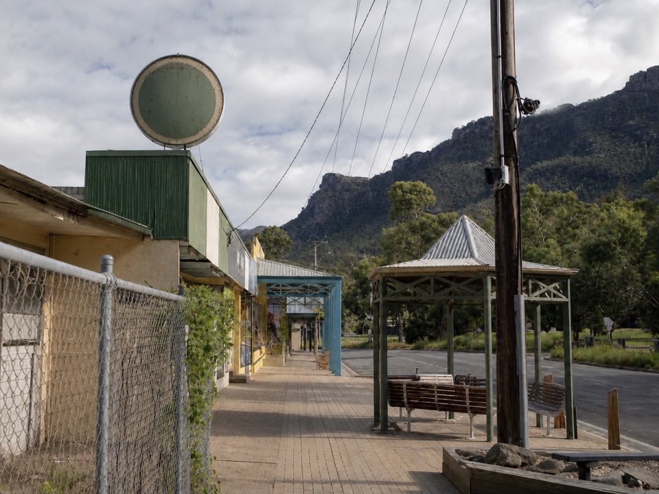 Sight · 0.5 km awayHalls GapA practical mountain base for central walks, wildlife, and big viewsSight · 0.7 km awayVenus BathsSmooth sandstone pools made for a cool, easy creekside wander
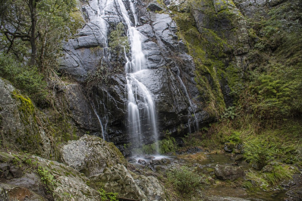 Sight · 1.3 km awayClematis FallsA seasonal waterfall reached by an easy walk from Halls Gap
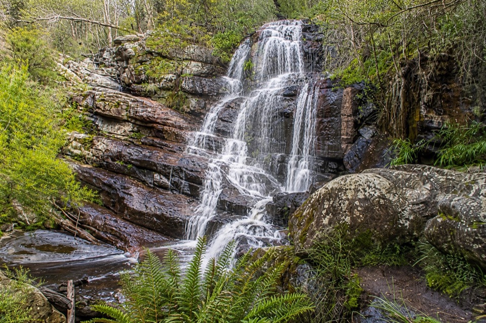 Sight · 1.8 km awaySplitters FallsA seasonal cascade tucked into a shady, rock-strewn walk
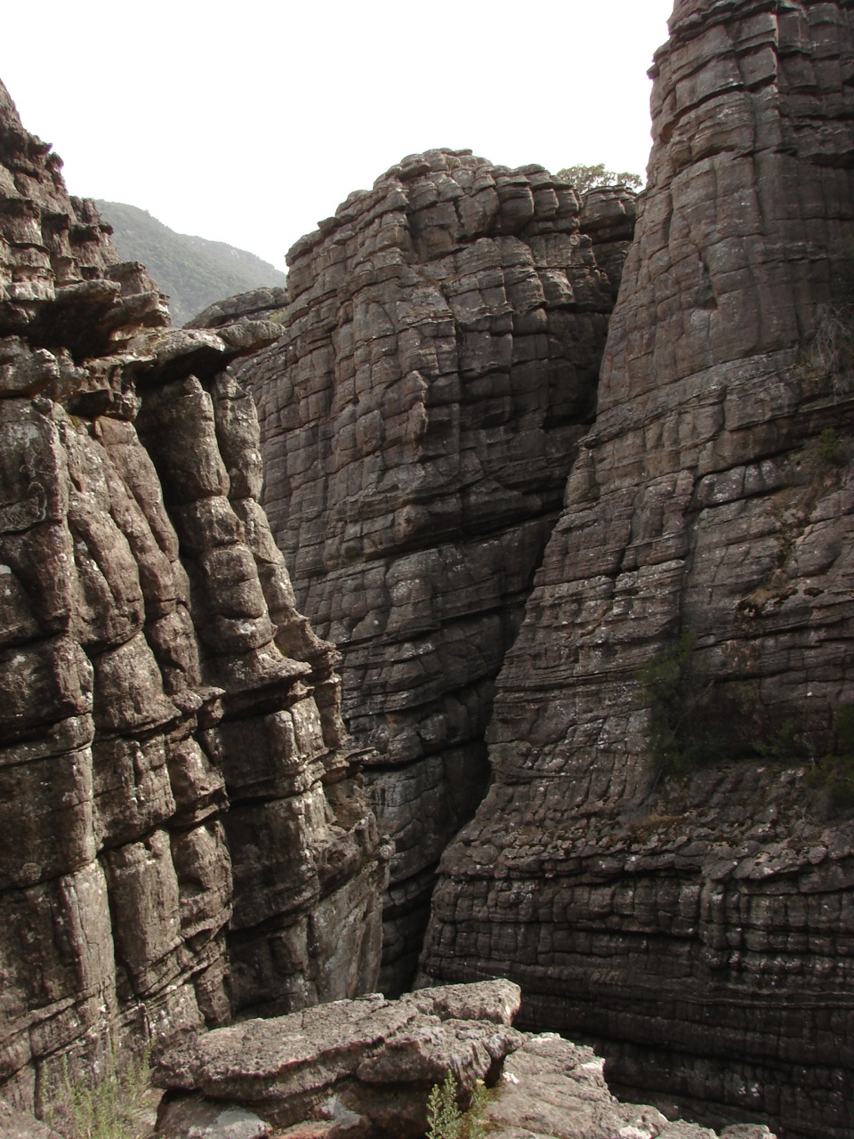 Sight · 1.8 km awayGrand CanyonA narrow sandstone gorge with ladders and seasonal cascades
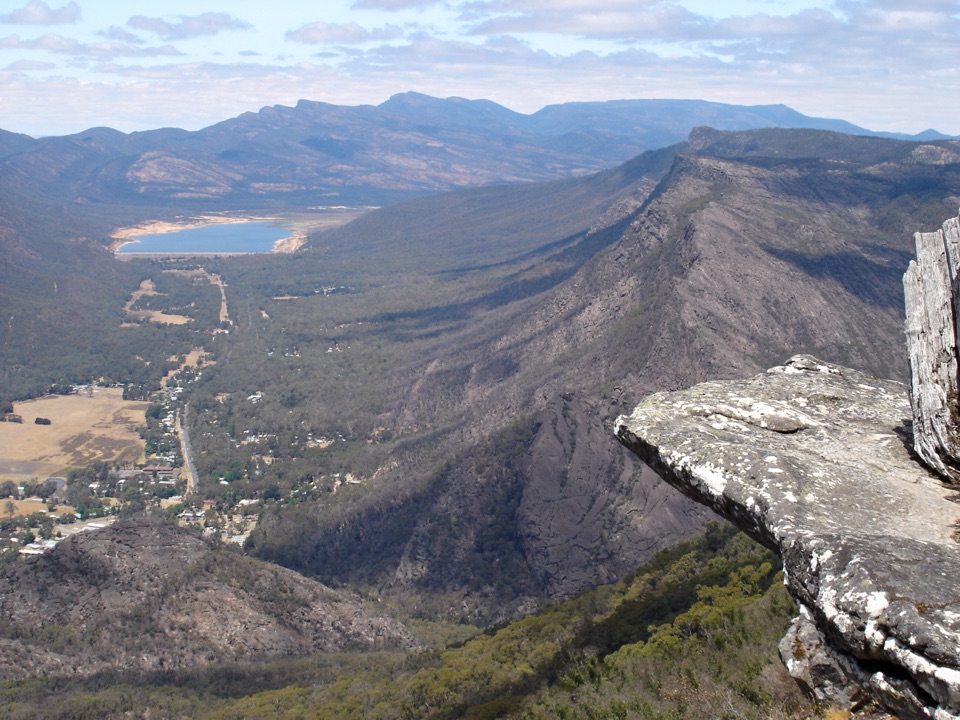 Sight · 2.1 km awayBoroka LookoutA short stroll to huge views over Halls Gap and Lake Bellfield
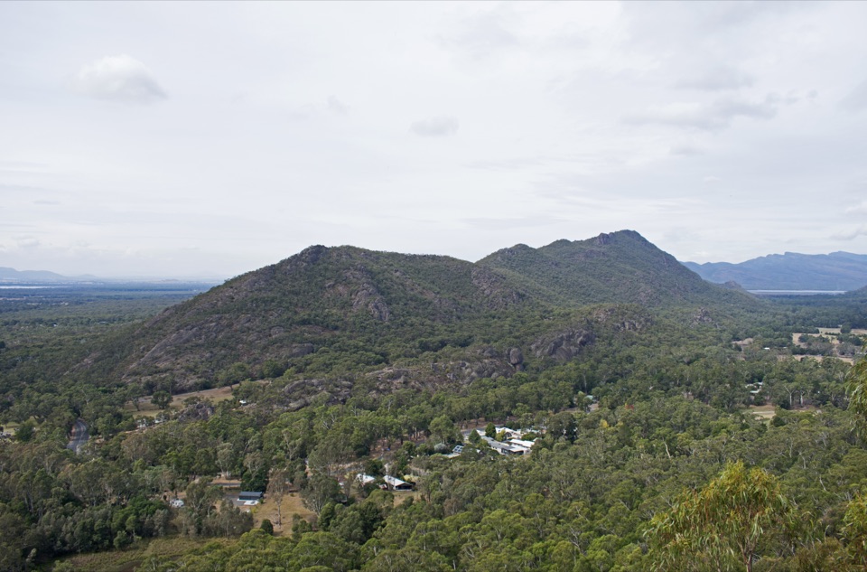 Sight · 2.1 km awayBoronia Peak360-degree views over Halls Gap, Lake Fyans, and the ranges
Parkwolf’s Grampians ranking

The audio tour guide for the drive, plus offline maps, trails, and wildlife heatmaps for when the signal drops.




