Parking
Start on School Road near the rear of Breeze Caravan Park in Halls Gap. This is the long Halls Gap route to The Pinnacle, not the shorter Sundial or Wonderland carpark approaches.

Grampians National Park, VIC
Steep sandstone climb to a wide lookout, then a canyon-lined return
Overview
A closed loop starting and finishing at the School Road access in Halls Gap, with a total circuit distance of about 9.6 km (mapped at 9.62 km, and rounded to 10 km in some listings). Distances here are for the full circuit, not one-way. Allow around 5 hours including ordinary stops. This is a long, strenuous day walk best suited to fit, experienced walkers.
From the lookout, the outlook opens across Halls Gap, Lake Bellfield and the surrounding sandstone ridges and plains. The narrow rock passages and layered walls of Silent Street and Grand Canyon give the return leg its own character, so the walk is varied rather than a single summit push.
 Parkwolf’s verdictThe Payoff
Map & elevation
Plan your hike

The highest, rockiest slopes around here are a summer buffet for grizzly bears.
Grampians Tour Guide
Parkwolf is a GPS audio tour guide for Grampians National Park. As you drive, it chimes in with what’s ahead: hidden gems, upcoming stops, history, geology, and wildlife, right through your car’s speakers.
Recorded for this trailhead
Halls Gap and Venus Baths“You're coming up on Halls Gap, a handy place to pair a food stop with an easy walk beside Stony Creek. The village has places to eat, a general store and fuel, all beneath a steep sandstone backdrop.”
Plays as you drive up to this trailhead in the Parkwolf Grampians Tour Guide.
More stories near here in the app
“Fantastic app with many points of information… It’s great to just turn on while you’re driving and it gives you an audio tour of the national Park. We love it!!!!”


Trail guide
The return leg trends downhill compared with the climb, though it still involves uneven rock underfoot.
Rated moderate to hard, 6 out of 10. Expect:
Sturdy, well gripped footwear matters on this route, and steady footing is more useful than speed.
Sandstone formations are the constant feature, and seasonal wildflowers can add colour along the track margins. The summit and the other rock platforms are the best vantage points for broad landscape photography, and morning or late afternoon light is generally kinder for it. Wildlife in the area includes kangaroos, koalas, snakes, skinks and echidnas, though sightings are never assured. Staying on the formed track is the simplest way to protect both the vegetation and your footing.
This circuit is materially longer and harder than the short approaches to The Pinnacle from the Sundial or Wonderland car parks, which are separate, briefer walks to the same lookout. If you want a shorter or easier visit, or you are short on daylight, use one of those approaches instead. Take on the School Road loop when you want the full climb, the linking rock passages and a satisfying day on foot from the town itself.
Wildlife
 157 sightingsShort-beaked EchidnaMost seen around 6 PMSighting map
 37 sightingsPowerful OwlMost seen around 6 PMSighting map
 59 sightingsWedge-tailed EagleMost seen around 11 AMSighting map
 24 sightingsEastern Brown SnakeMost seen around 11 AMSighting map
 10 sightingsTiger SnakeMost seen around noonSighting map
 29 sightingsRed-bellied Black SnakeMost seen around 11 AMSighting map
Sighting maps show where each species has been reported across Grampians. Wildlife moves, so no sighting is guaranteed.
Keep exploring
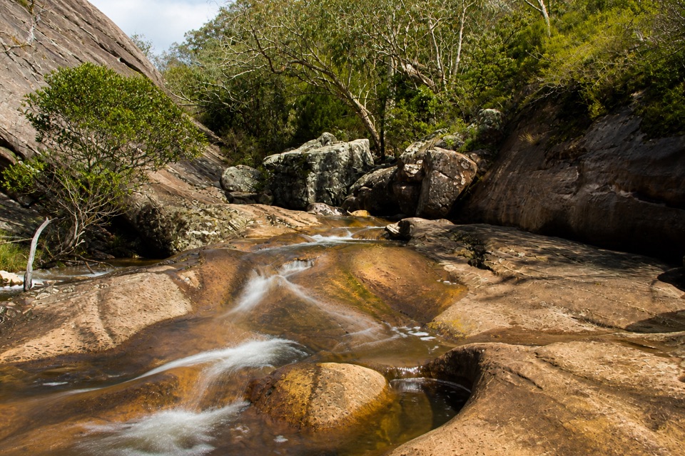 EasyVenus Baths Loop Walk2.3 km · 1 hr · 0.1 km awaySmooth sandstone pools on Stony Creek, an easy 2.3 km family circuit
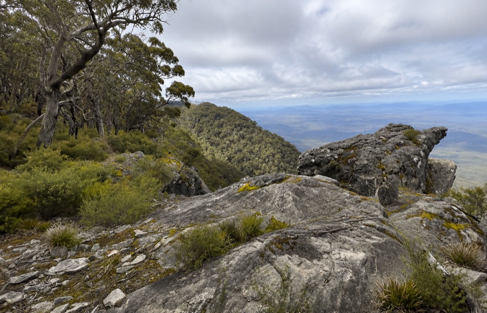 ChallengingWerdug Overnight Hike26 km · 13 hr · 0.1 km awaySteep escarpment climb to a high hike-in camp above Lake Wartook
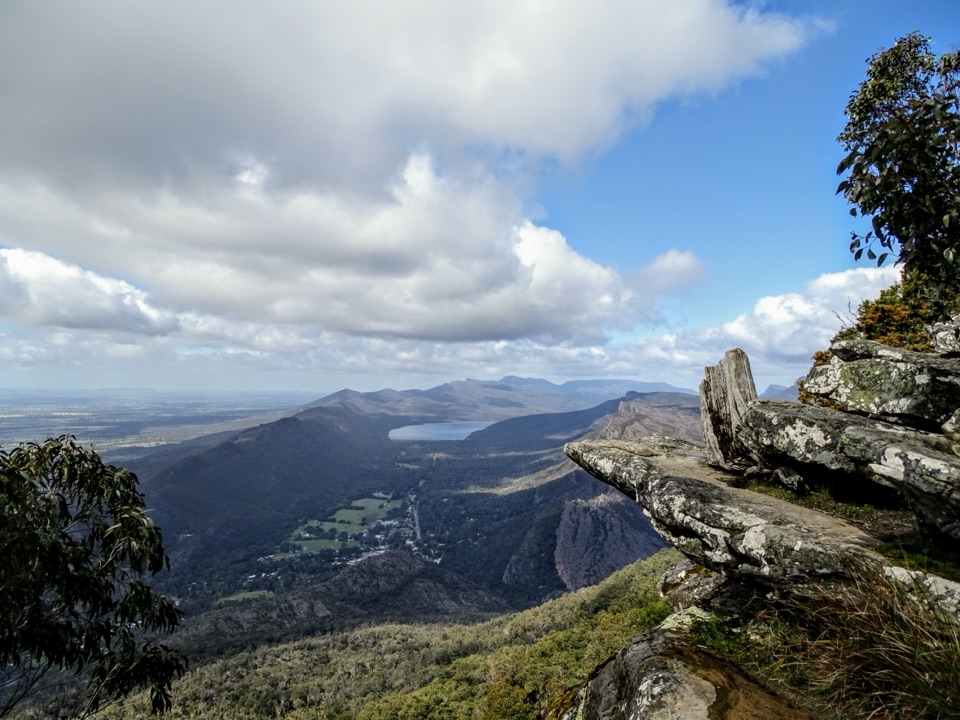 ChallengingBoroka Lookout from Halls Gap12 km · 4 hr · 0.1 km awaySteep 12 km climb through stringybark forest to a cliff-edge panorama
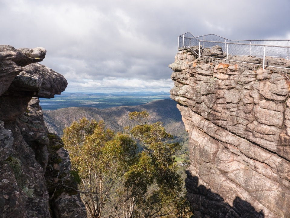 ChallengingBugiga and Barri Yalug 3-day Hike39.4 km · 18 hr · 0.1 km awayThree days from Halls Gap over The Pinnacle and Mount Rosea cliffs
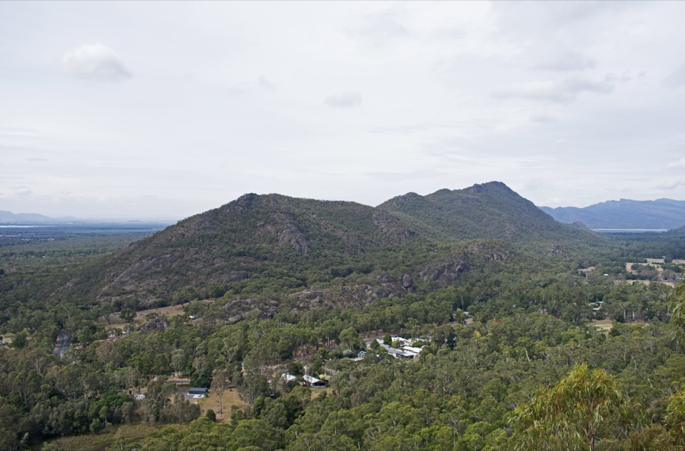 ModerateChatauqua Peak Loop Walk6.3 km · 2.5 hr · 0.2 km awaySteep rocky summit above Halls Gap, with fern gullies and a waterfall
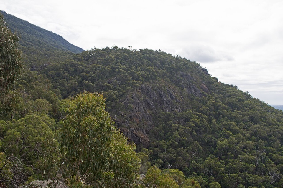 EasyClematis Falls Walk2.4 km · 1 hr · 0.3 km awayShort forest stroll to a seasonal falls under sandstone cliffs
 ChallengingBugiga Overnight Hike22.3 km · 14 hr · 0.4 km awayGrand Canyon, the Pinnacle, Mount Rosea: two hard days with a pack
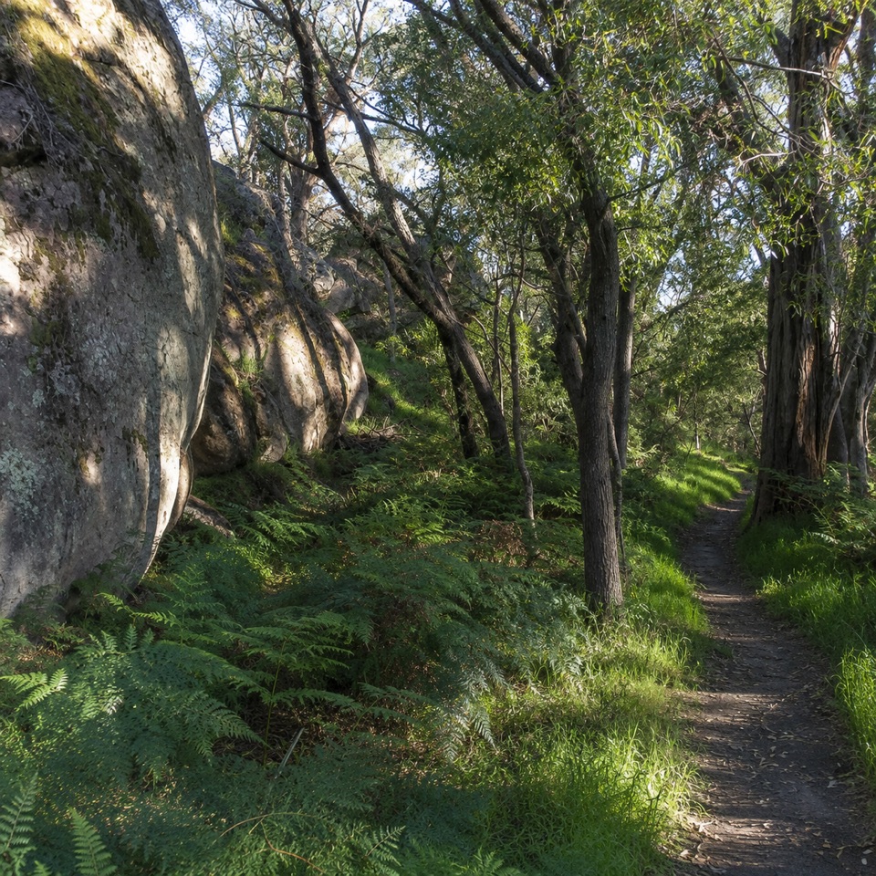 ModerateDelleys Bridge Walking Track2.7 km · 1.3 hr · 1.1 km awayEscarpment path above Fyans Creek, with steps, boardwalk and forest cover
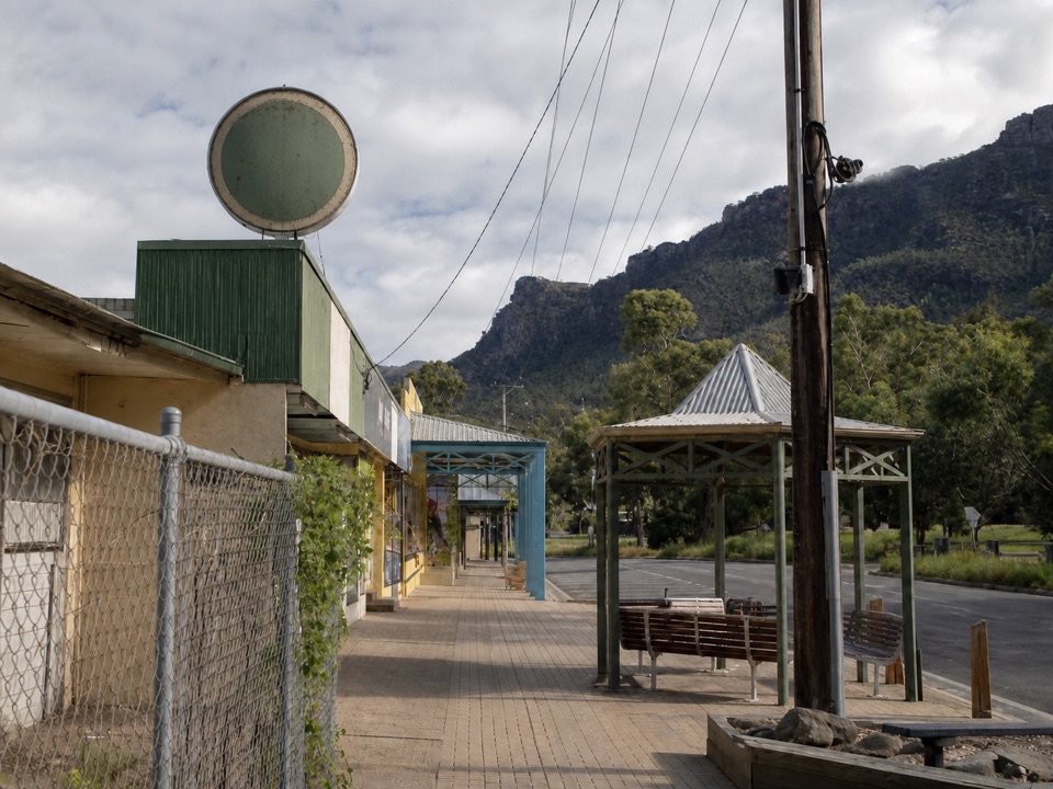 Sight · 0.4 km awayHalls GapA practical mountain base for central walks, wildlife, and big views
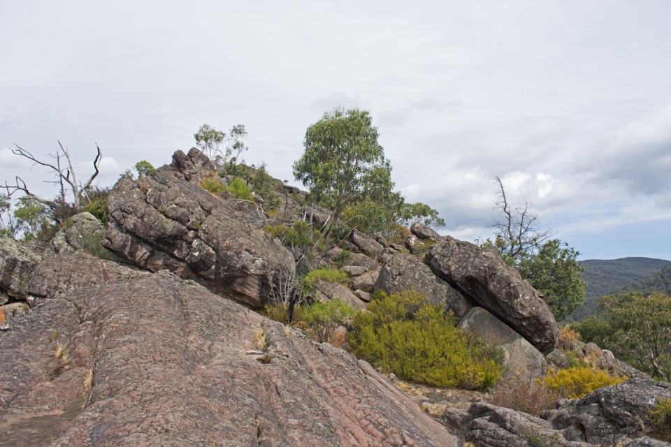 Sight · 0.5 km awayChatauqua PeakA rocky summit scramble with wide views over Halls GapSight · 0.7 km awayVenus BathsSmooth sandstone pools made for a cool, easy creekside wander
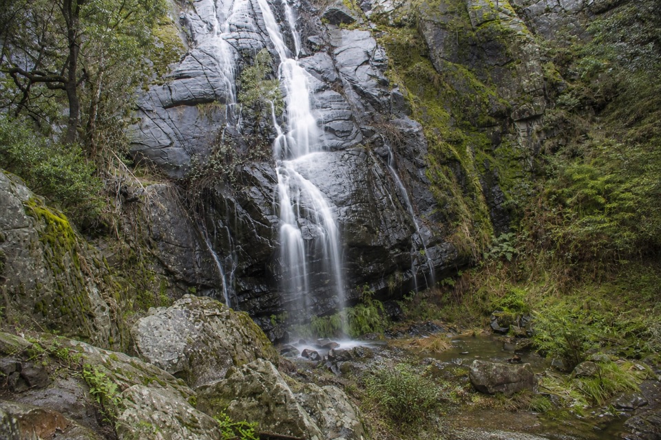 Sight · 1.4 km awayClematis FallsA seasonal waterfall reached by an easy walk from Halls Gap
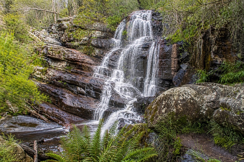 Sight · 1.8 km awaySplitters FallsA seasonal cascade tucked into a shady, rock-strewn walk
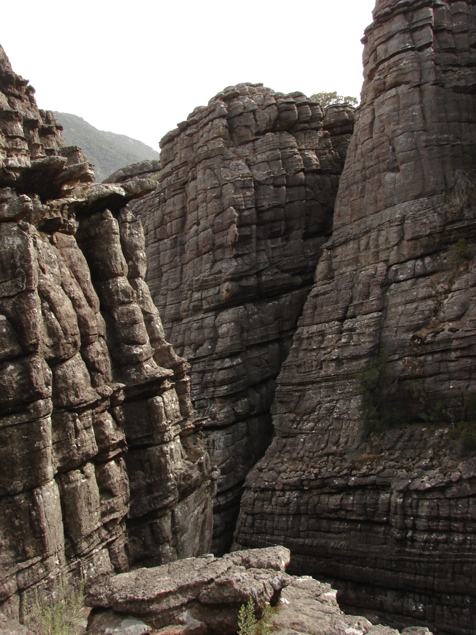 Sight · 1.8 km awayGrand CanyonA narrow sandstone gorge with ladders and seasonal cascades
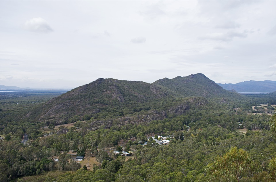 Sight · 2.1 km awayBoronia Peak360-degree views over Halls Gap, Lake Fyans, and the ranges
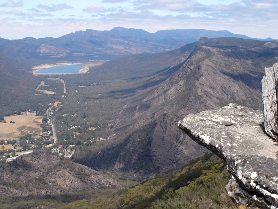 Sight · 2.2 km awayBoroka LookoutA short stroll to huge views over Halls Gap and Lake Bellfield
Parkwolf’s Grampians ranking
The audio tour guide for the drive, plus offline maps, trails, and wildlife heatmaps for when the signal drops.




