Parking
Park at the Lake Bellfield Viewing Point / Carpark off Grampians Road, south of Halls Gap, and start beside the viewing point. Toilets are at the access.
Grampians National Park, VIC
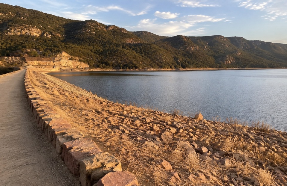
Short gravel stroll across a dam wall to reservoir and ridge views
Overview
Be realistic: this is a very short, low-effort walk best treated as a quick family stop, a leg stretch, or a quiet reservoir view on the way through. If you want a longer and more dramatic outing in the same area, The Pinnacle or Boroka Lookout are separate walks with far more climbing and bigger views.
 Parkwolf’s verdictIs it worth the stop
Map & elevation
Plan your hike

The highest, rockiest slopes around here are a summer buffet for grizzly bears.
Grampians Tour Guide
Parkwolf is a GPS audio tour guide for Grampians National Park. As you drive, it chimes in with what’s ahead: hidden gems, upcoming stops, history, geology, and wildlife, right through your car’s speakers.
Recorded for this trailhead
Lake Bellfield: A Walk on the Dam Wall“Lake Bellfield is coming up, and it's a good place to trade a mountain climb for an easy walk beside the water. My suggestion is to start at the viewing point and follow the gravel path along the top of the dam wall.”
Plays as you drive up to this trailhead in the Parkwolf Grampians Tour Guide.
More stories near here in the app
“Fantastic app with many points of information… It’s great to just turn on while you’re driving and it gives you an audio tour of the national Park. We love it!!!!”


Trail guide
An easy out-and-back along the Lake Bellfield dam wall, roughly 1.9 km / 1.2 miles return (the mapped one-way corridor is about 853 m, walked in both directions). Allow 30 minutes to 1 hour, with about 45 minutes a fair average. Difficulty is easy, around 2/10.
The reservoir sits on one side and the drop of the wall on the other, with the surrounding Grampians ridges filling the skyline. The payoff here is the water-and-mountain outlook from a level vantage point rather than any climb; elevation change along the wall is minor.
The surface is a connected gravel footpath, generally simple walking but uneven in places. The wall has an unprotected drop and water edge, so keep children close and stay on the path. The wall is open to sun and wind, with no shelter along its length.
Wildlife
 157 sightingsShort-beaked EchidnaMost seen around 6 PMSighting map
 37 sightingsPowerful OwlMost seen around 6 PMSighting map
 59 sightingsWedge-tailed EagleMost seen around 11 AMSighting map
 24 sightingsEastern Brown SnakeMost seen around 11 AMSighting map
 10 sightingsTiger SnakeMost seen around noonSighting map
 29 sightingsRed-bellied Black SnakeMost seen around 11 AMSighting map
Sighting maps show where each species has been reported across Grampians. Wildlife moves, so no sighting is guaranteed.
Keep exploring
 ModerateThe Pinnacle via Sundial Carpark4.2 km · 1.8 hr · 2.3 km awayRock-hop past Devil's Gap to a cliff-edge lookout over Halls Gap
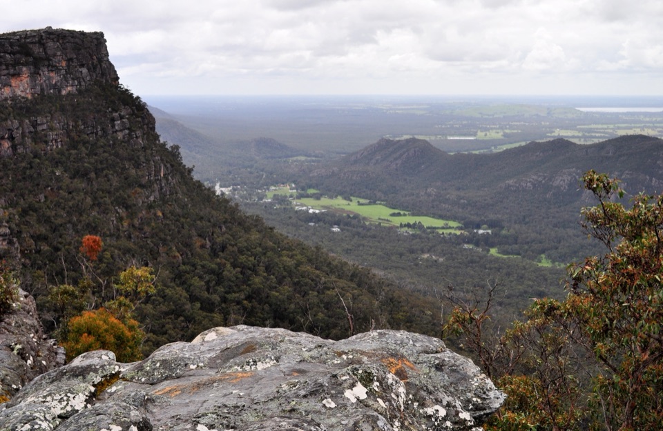 ModerateLakeview Loop Walk1.8 km · 1 hr · 2.3 km awayShort rocky circuit to a lookout over Lake Bellfield and Fyans Valley
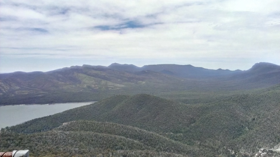 ModerateSundial Peak Walk4 km · 1.8 hr · 2.3 km awayQuiet heathy climb to a lookout over Lake Bellfield and Mount William
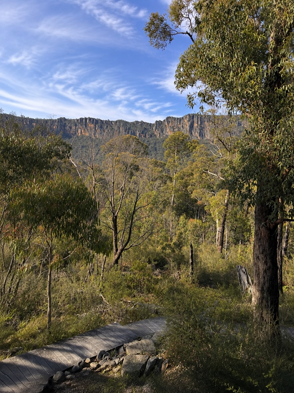 ModerateSundial Carpark to Rosea Carpark4.3 km · 2 hr · 2.3 km awayA 4.3 km wooded circuit with knoll climb and sandstone escarpment views
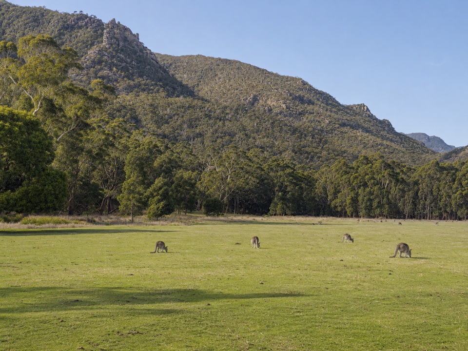 EasyFyans Creek Loop Walk2.7 km · 1 hr · 2.3 km awayGentle valley loop past a dry creek, wattles and dawn wildlife
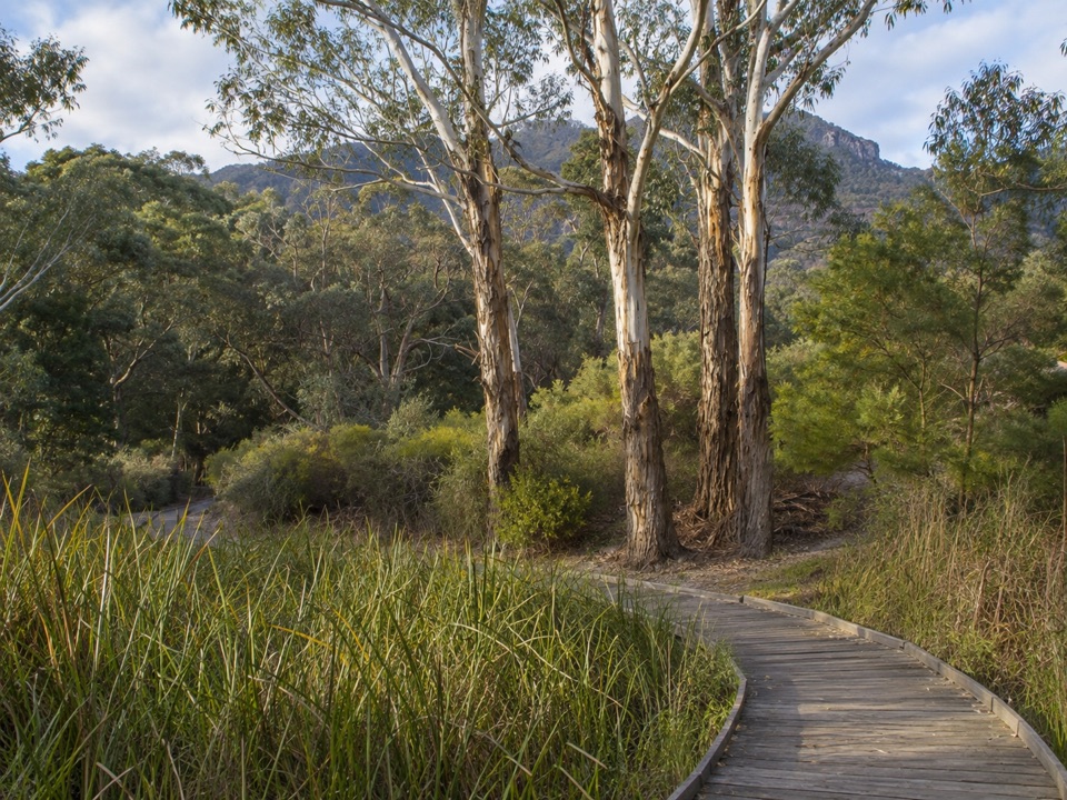 EasyBrambuk Wetland Loop Walk1.3 km · 30 min · 2.4 km awayFlat 1.27 km wetland and garden loop with mountain views and kangaroos
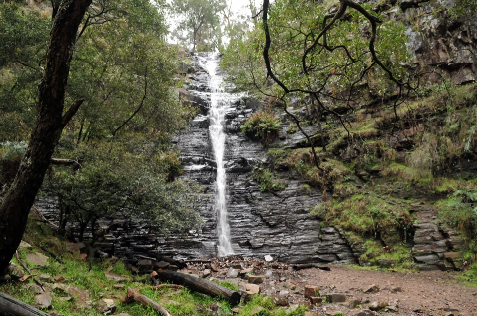 EasySilverband Falls Walk1.6 km · 45 min · 2.6 km awayFerny creekside stroll to a narrow cascade over dark layered rock
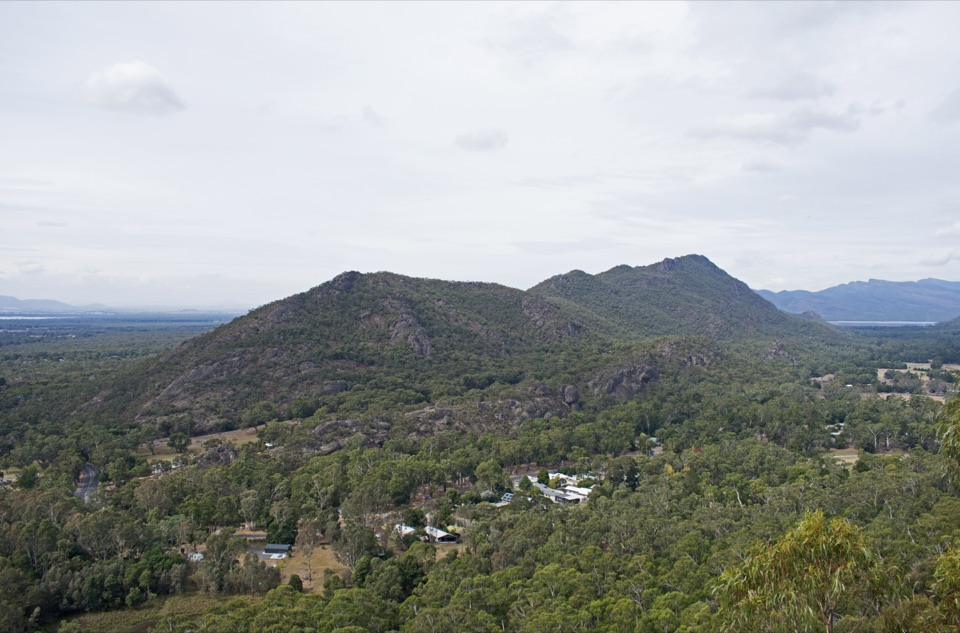 ModerateBoronia Peak Walk6.6 km · 2.8 hr · 3.1 km awaySteady forest climb to a rocky summit above Fyans Valley
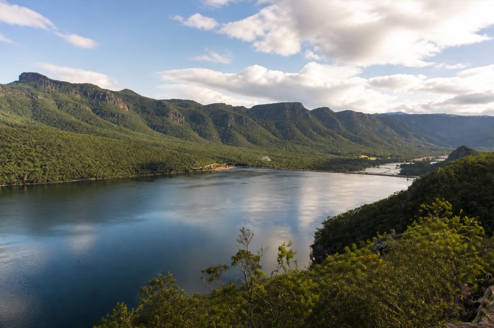 Sight · At the trailheadLake BellfieldAn easy dam-wall walk with calm water and mountain reflectionsSight · 1.7 km awaySundial PeakA quiet summit view over Lake Bellfield and the western ranges
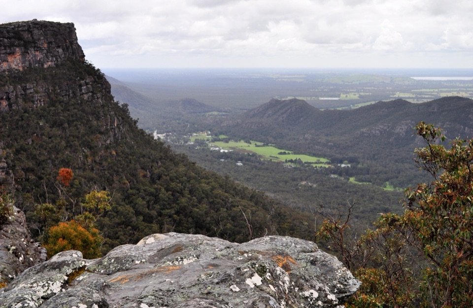 Sight · 1.9 km awayLakeview LookoutA short rocky walk to a wide Lake Bellfield panorama
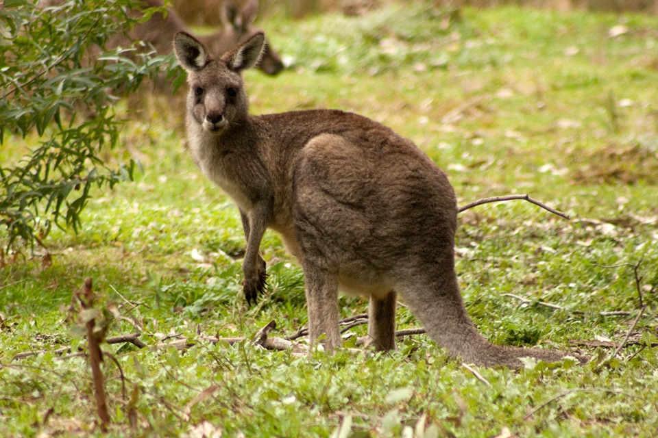 Visitor center · 2.3 km awayBrambuk the National Park & Cultural CentreA cultural gateway to Gariwerd stories, wildlife, and walking plansSight · 2.4 km awaySilverband FallsA ferny walk to water that vanishes into the rocky creek bed
 Sight · 2.9 km awayPinnacle LookoutA dramatic rock platform above Halls Gap and Lake Bellfield
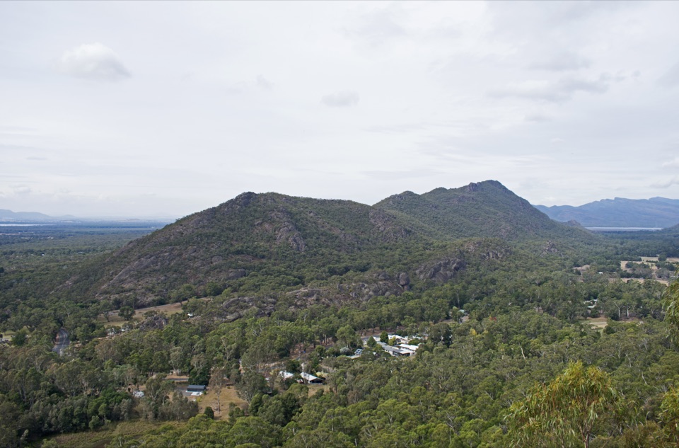 Sight · 3.1 km awayBoronia Peak360-degree views over Halls Gap, Lake Fyans, and the ranges
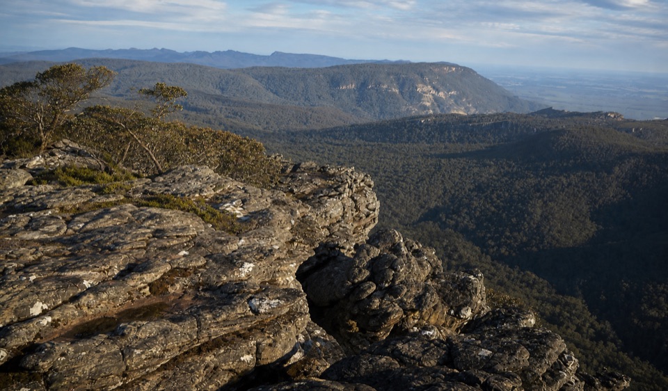 Sight · 3.7 km awayMount Rosea (Bugiga Mirgani)A rugged summit scramble with wide views across the ranges
Parkwolf’s Grampians ranking
The audio tour guide for the drive, plus offline maps, trails, and wildlife heatmaps for when the signal drops.




