Parking
Use the signed Mt Zero Picnic Area off Mt Zero Road at 41 Mt Zero Road, Laharum. This is the start and finish for the 4.6 km return variant.

#4 of 81 trails in Grampians
Grampians National Park, VIC
Steep 4.6 km return scramble to a rocky summit with sweeping views
Overview
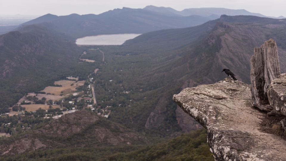
The summit area opens out to broad views across much of the park and the plains beyond. It is the kind of view that makes the scramble feel short in hindsight.
 Parkwolf’s verdictThe payoff
Map & elevation
Plan your hike

The highest, rockiest slopes around here are a summer buffet for grizzly bears.
Grampians Tour Guide
Parkwolf is a GPS audio tour guide for Grampians National Park. As you drive, it chimes in with what’s ahead: hidden gems, upcoming stops, history, geology, and wildlife, right through your car’s speakers.
Recorded for this trailhead
Mount Zero and Stapylton: Pick Your Climb“Up ahead is the Mount Zero Picnic Area, the starting point for Mount Stapylton and Mount Zero, with a shorter option that's well worth knowing about.”
Plays as you drive up to this trailhead in the Parkwolf Grampians Tour Guide.
More stories near here in the app
“Fantastic app with many points of information… It’s great to just turn on while you’re driving and it gives you an audio tour of the national Park. We love it!!!!”


Trail guide
This is an out and back walk, despite the "Loop Walk" in its name. You start and finish at Mt Zero Picnic Area, and the 4.6 km figure is the total there and back. Allow about 2 hours 30 minutes. It is graded hard, and that grade is earned in the last stretch.
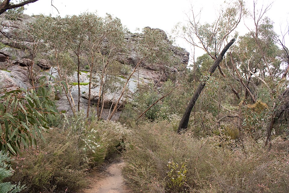
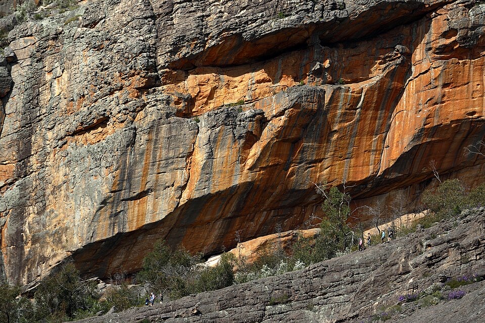
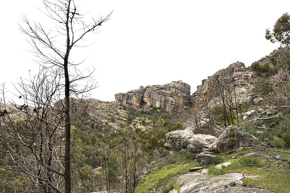
From the picnic area the track climbs gradually through rocky terraces and open, low forest to a track intersection. From there it steepens over the Flat Rock area, where walking turns into rock hopping and scrambling. Higher up there is a brief descent to the base of Taipan Wall before a steady climb along the terraces, then a final steep push past a wind scoured cave to the summit area. You return the same way you came.
Best suited to fit and energetic walkers who are comfortable using their hands on rock. Expect:
Triangular markers guide you through the rocky ground, so keep an eye out for them when the route across bare rock is not obvious. Sturdy footwear is essential.
The trailhead is Mt Zero Picnic Area, 41 Mt Zero Road, Laharum. Start and finish are both here, not at the summit or a campground. Dogs are not permitted anywhere on this national park walk, with assistance animals covered by separate rules.
There is a longer version of the Mount Stapylton walk that begins at Stapylton Campground and covers roughly triple the distance. If you have planned for 4.6 km return, make sure you are heading out from Mt Zero Picnic Area.
Wildlife
 157 sightingsShort-beaked EchidnaMost seen around 6 PMSighting map
 37 sightingsPowerful OwlMost seen around 6 PMSighting map
 59 sightingsWedge-tailed EagleMost seen around 11 AMSighting map
 24 sightingsEastern Brown SnakeMost seen around 11 AMSighting map
 10 sightingsTiger SnakeMost seen around noonSighting map
 29 sightingsRed-bellied Black SnakeMost seen around 11 AMSighting map
Sighting maps show where each species has been reported across Grampians. Wildlife moves, so no sighting is guaranteed.
Keep exploring
 ChallengingGrampians Peaks Trail164 km · 3.8 days · At the trailheadThirteen days of rocky ridgelines from Mount Zero to Dunkeld, one way
 ModerateMt Zero (Mura Mura) Walk2.8 km · 1.3 hr · At the trailheadShort rocky climb to the range's northern-most peak and Wimmera views
 ChallengingBarigar Overnight Hike16 km · 8 hr · At the trailheadTwo days across Taipan Wall battlements to a low camp beneath Gar
 EasyFlat Rock Walk1.3 km · 45 min · At the trailheadShort rocky climb to an outcrop facing Taipan Wall and Stapylton
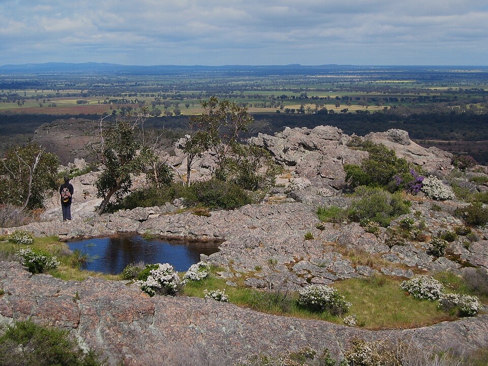 ChallengingHollow Mountain (Wudjub-guyan) Walk2.2 km · 2 hr · 0.9 km awaySteep gully scramble to wind-scoured caverns above the Wimmera Plains
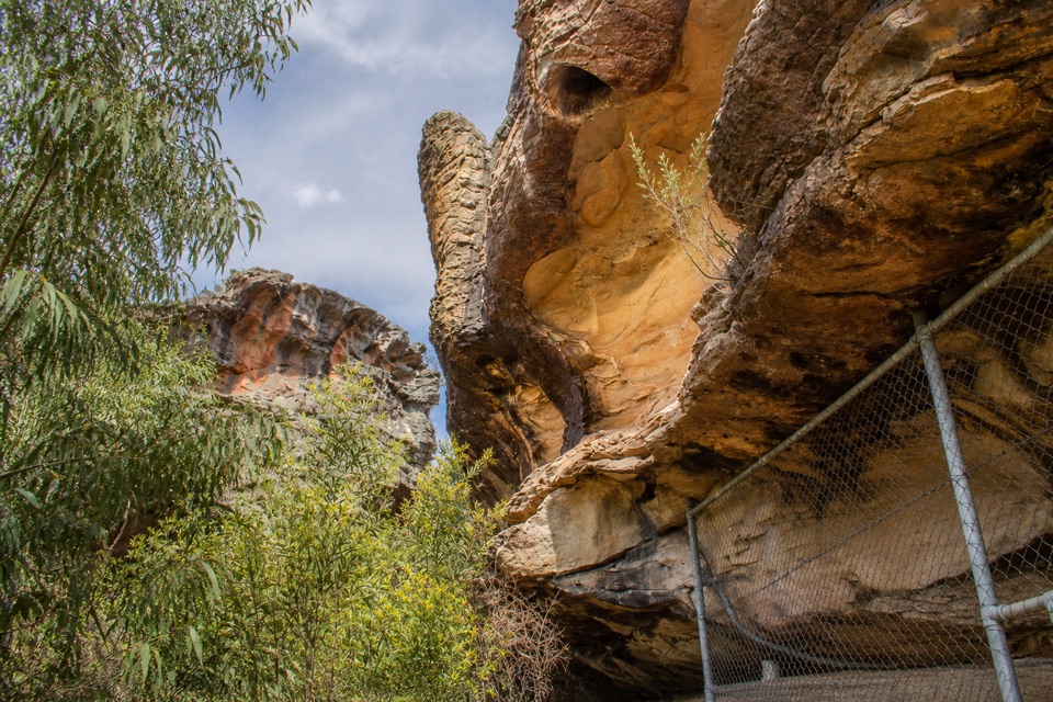 ModerateGulgurn Manja Shelter Walk1.5 km · 45 min · 0.9 km awaySteep-ish short climb to Jardwadjali handprints above the Wimmera Plains
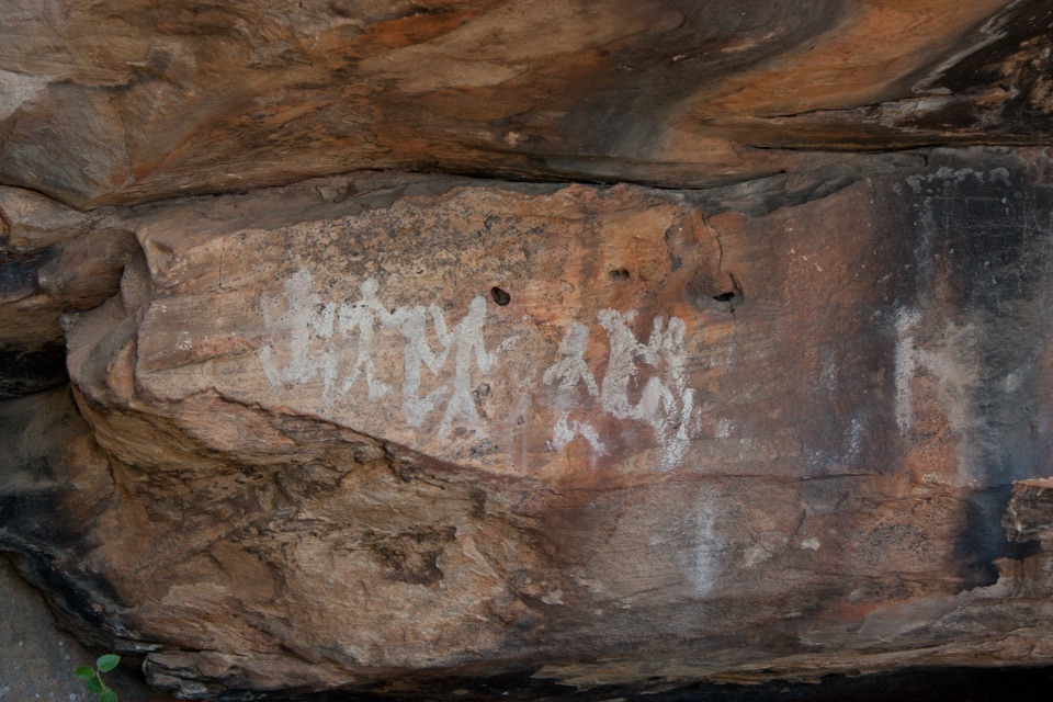 EasyNgamadjidj Shelter Walk0.8 km · 30 min · 3.8 km awayShort gravel loop to white clay rock art beneath a sandstone overhang
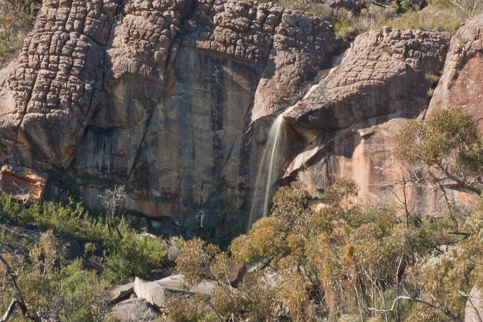 ChallengingBriggs Bluff Walk12.4 km · 5 hr · 10.7 km awayRocky scramble past Beehive Falls to broad summit outlook
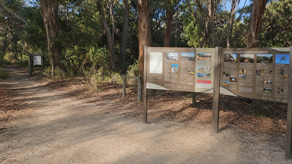 Picnic area · At the trailheadMount Zero (Mura Mura) Picnic AreaA shady trail base beneath rugged granite peaks
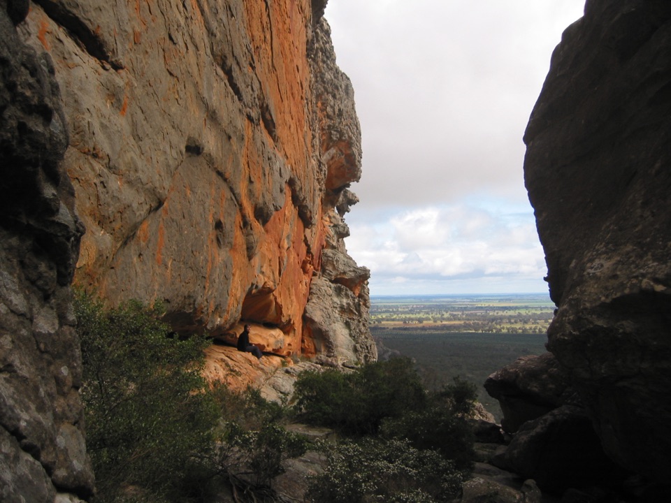 Sight · 0.6 km awayHollow Mountain (Wudjub-guyan)Wind-sculpted caverns and a big view over the Wimmera Plains
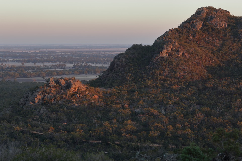 Sight · 0.9 km awayMount Zero (Mura Mura)A rocky summit walk with Wimmera Plains viewsSight · 1.2 km awayGulgurn Manja Aboriginal Rock Art SiteHand stencils and ochre symbols beneath a sandstone shelter
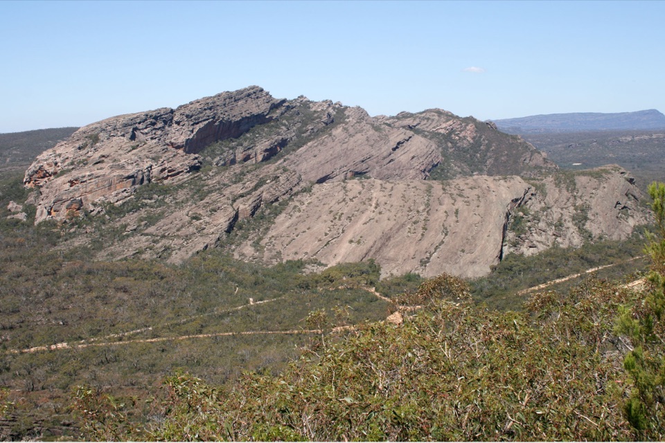 Sight · 1.3 km awayMount Stapylton (Gunigalg)A rugged sandstone summit with broad northern Gariwerd views
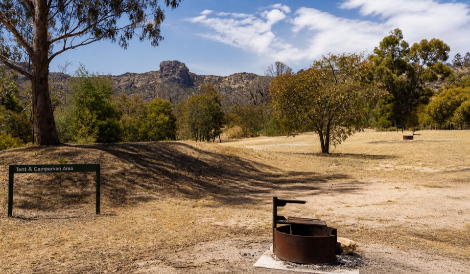 Campground · 3.7 km awayStapylton CampgroundSleep beneath a rugged sandstone skyline in open eucalyptus woodlandSight · 3.9 km awayNgamadjidj ShelterGhostly white figures beneath a dark sandstone overhang
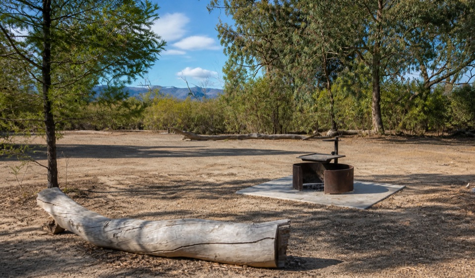 Campground · 5.5 km awayCoppermine CampgroundA tiny 4WD camp with broad northern Grampians views
Parkwolf’s Grampians ranking
The audio tour guide for the drive, plus offline maps, trails, and wildlife heatmaps for when the signal drops.