
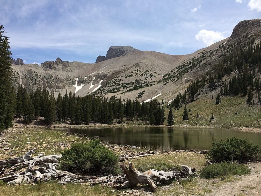
All Great Basin trails
29 trails
 1Bristlecone TrailAncient bristlecones reward a short climb above 10,000 feet.
 2Wheeler Peak Summit TrailAn exposed high-altitude climb to Nevada’s highest wholly in-state summit.
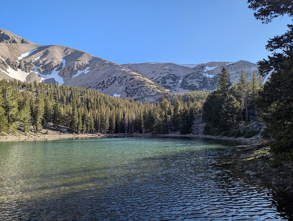 3Alpine Lakes LoopTwo alpine lakes and a Wheeler Peak backdrop reward the climb.
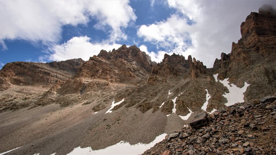 4Glacier TrailAncient bristlecones lead into the rocky cirque of Nevada’s last glacier.
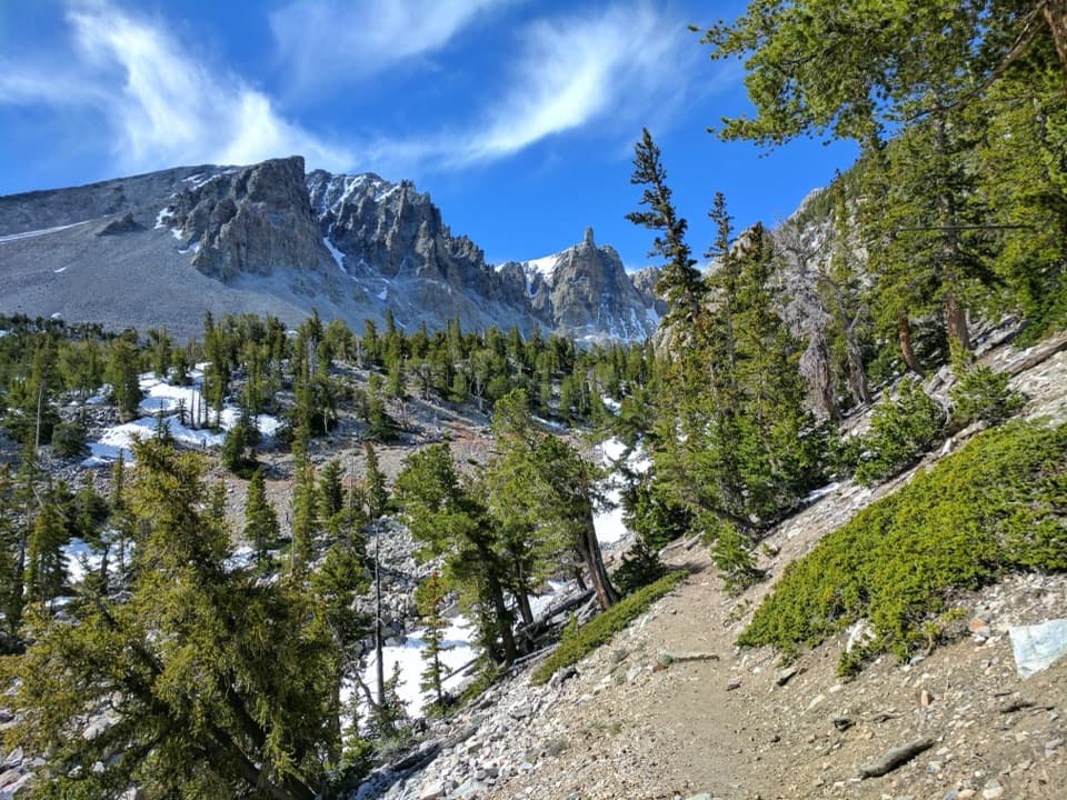 5Alpine Lakes, Bristlecone, and Glacier LoopTwo alpine lakes, old bristlecones, and a rocky glacier climb.
 6Baker & Johnson Lakes LoopTwo high lakes and a century of tungsten mining.7Baker Lake TrailA high alpine lake at the end of a full-day climb.
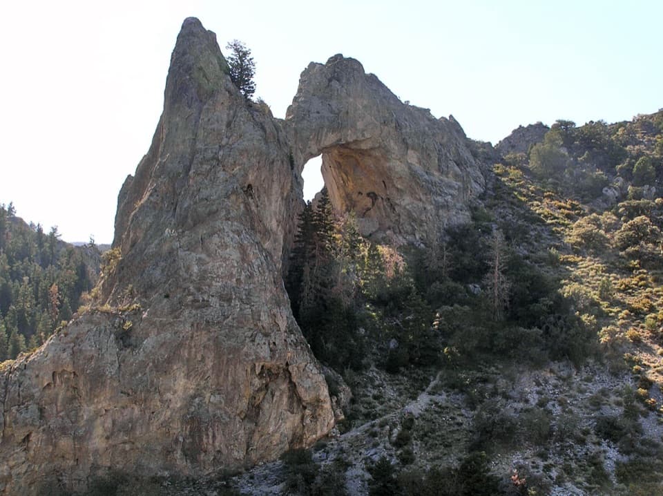 8Lexington Arch TrailA huge limestone arch rewards a sunlit canyon climb.
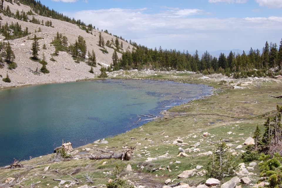 9Johnson Lake via Baker CreekA steep climb to a high lake and old tungsten mine ruins.
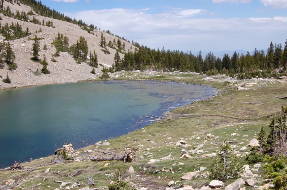 10Johnson Lake Trail via Snake CreekA steep, high-altitude climb to an alpine lake and mine ruins.
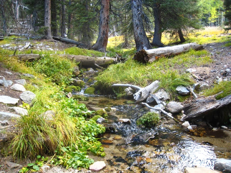 11Baker Creek LoopCreek crossings, hillside switchbacks, and a meadow return.
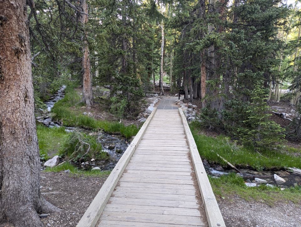 12Sky Island Forest TrailA level boardwalk loop through a forest high above the desert.13Stella Lake via Wheeler Peak TrailheadA shaded alpine walk to a lake below Wheeler Peak.14Teresa Lake TrailA short, high-altitude walk to Teresa Lake beneath Wheeler Peak.
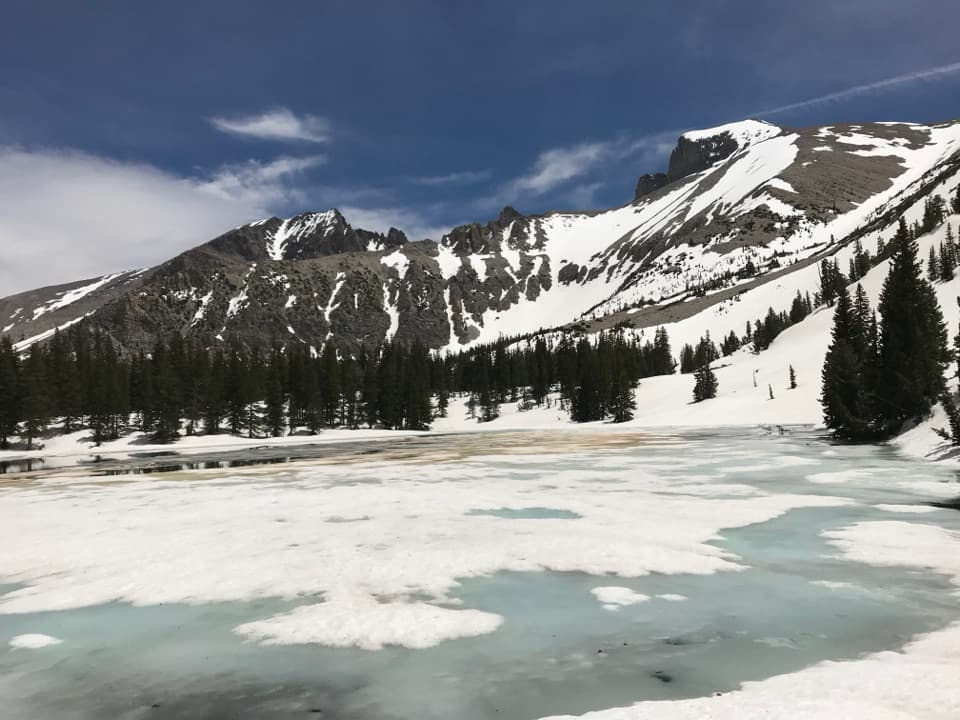 15Stella Lake via Alpine Lakes Loop TrailA high lake beneath Wheeler Peak, a little over a mile in.
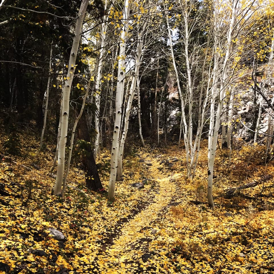 16Lehman Creek TrailA 6.4-mile out-and-back climb through aspens to Wheeler Peak views.
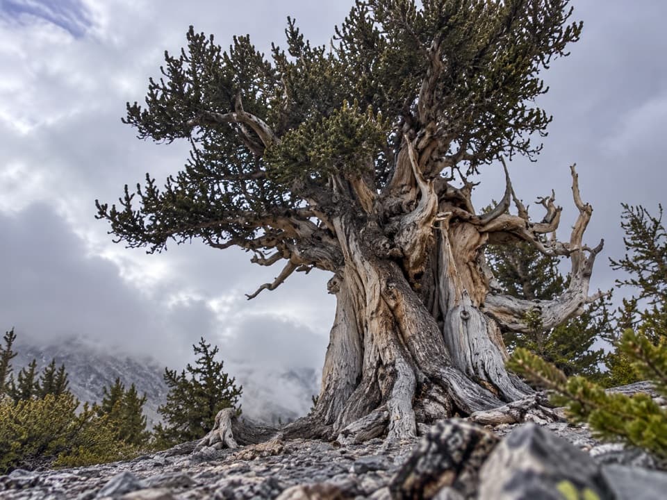 17Snake Divide RouteAncient bristlecones reward a steep, faintly marked ridge hike.
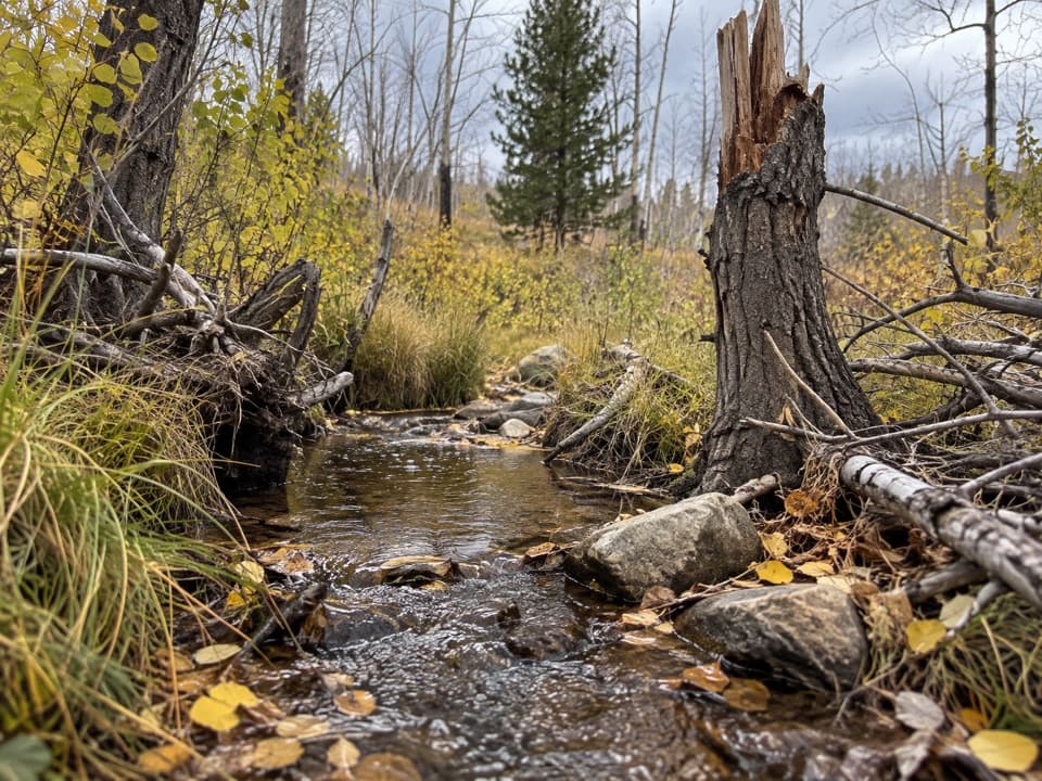 18Upper Strawberry TrailA creek climb from meadow to the saddle between two peaks.
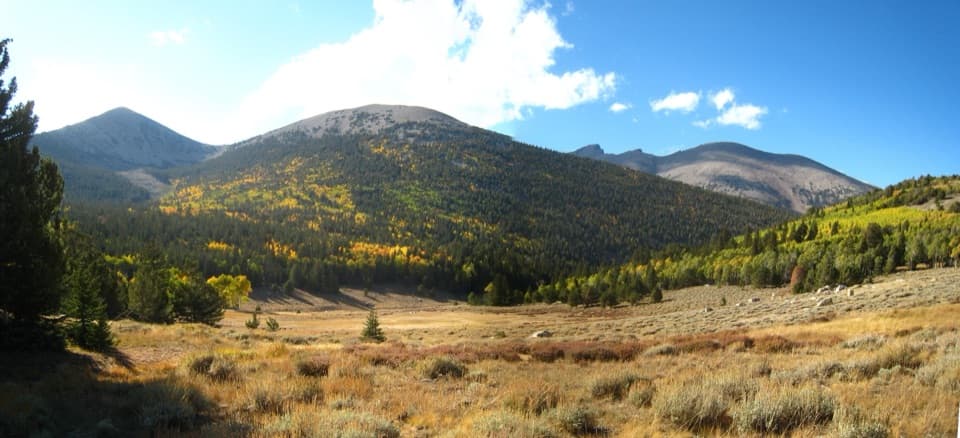 19Timber Creek TrailClimb through pines to a Pyramid Peak meadow, then loop back.
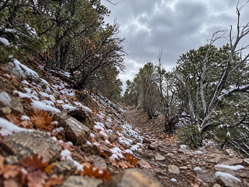 20Osceola Ditch TrailFollow a historic mining ditch to Mill Creek and back.
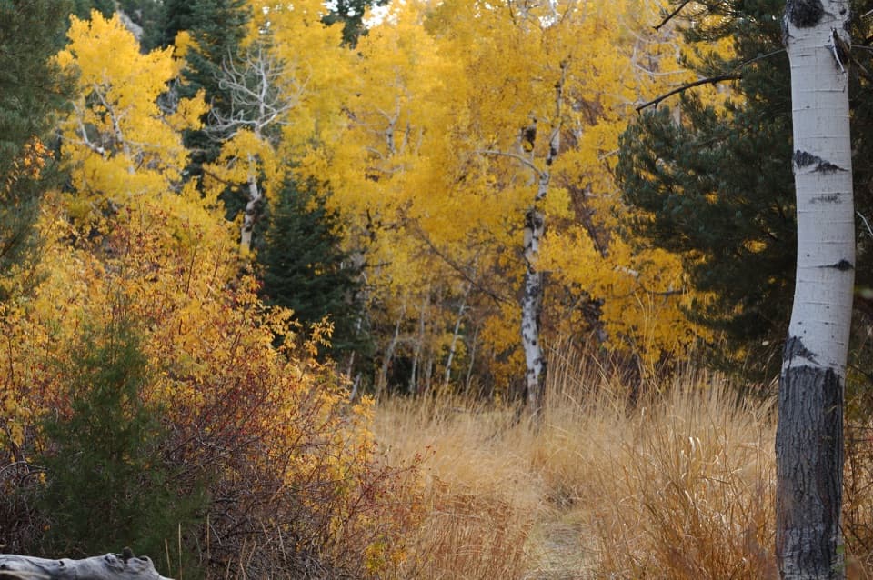 21Pole Canyon TrailA gradual creek climb, a sharp pass, and a smarter way round.
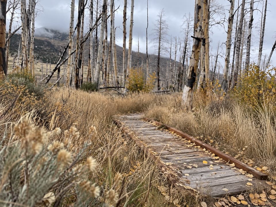 22Sage Steppe LoopCreekside footbridges and open meadow make an easy high-country loop.
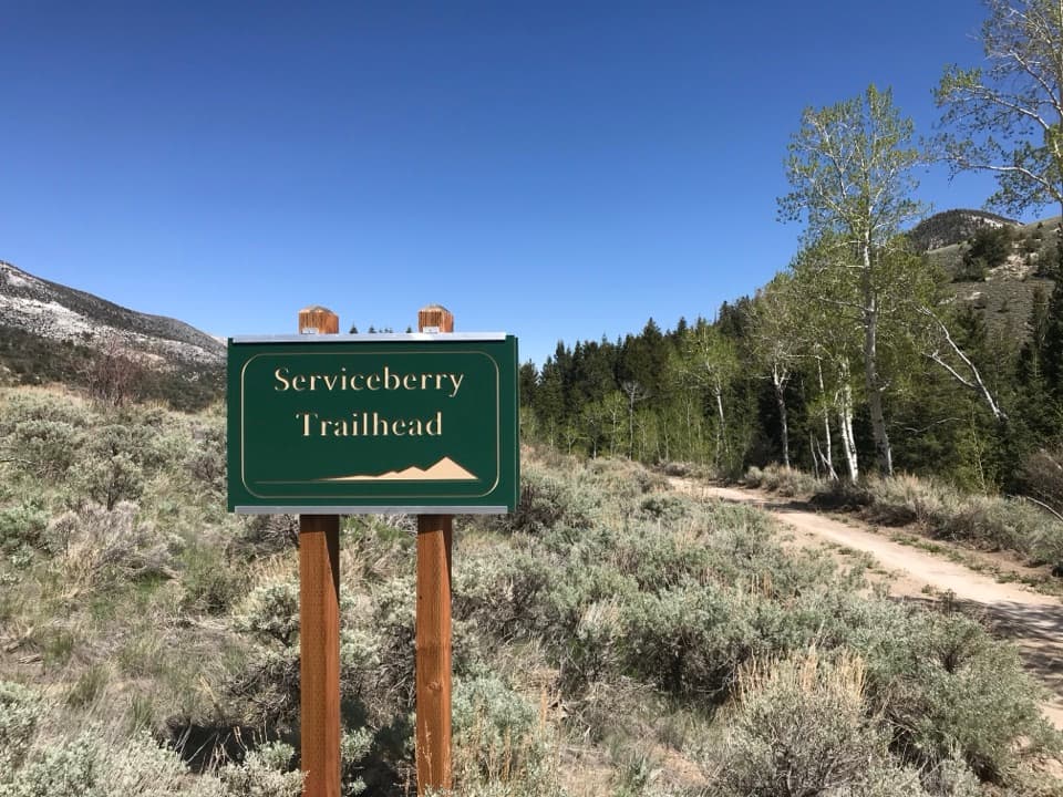 23Serviceberry TrailSwitchback views across open sagebrush toward Eagle and Granite peaks.
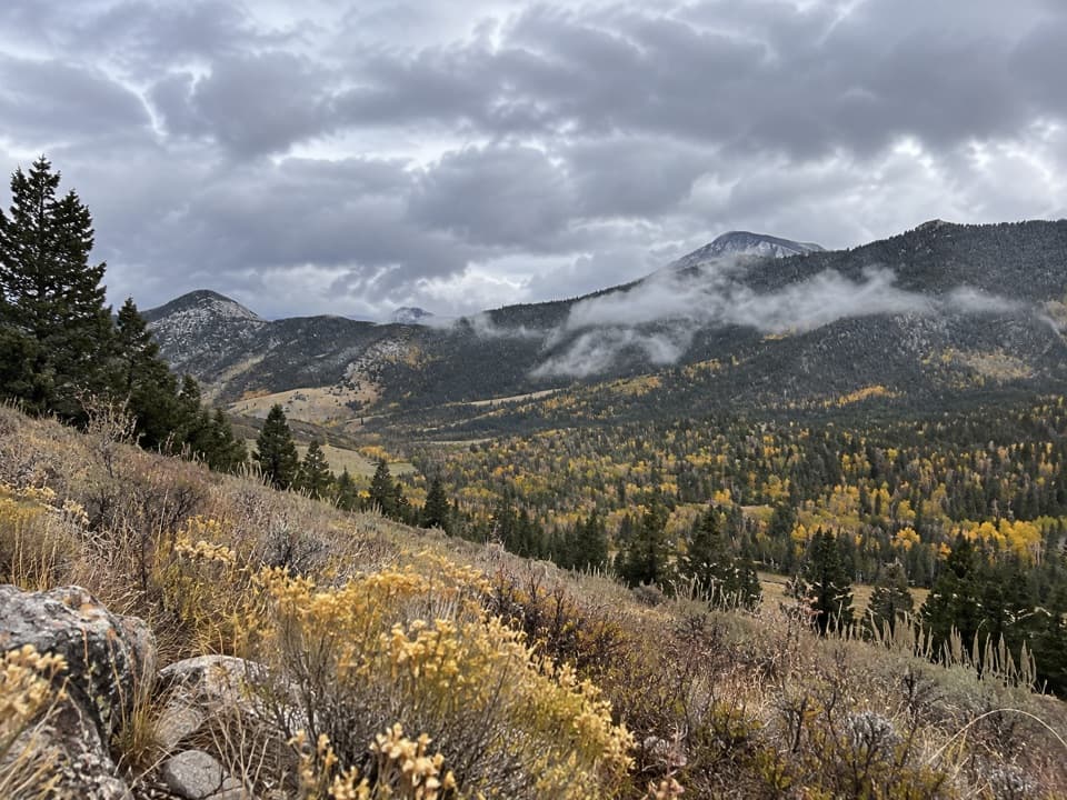 24Snake Creek Overlook TrailA short walk leads to a quiet bench above the lower valley.
 25Dead Lake LoopA seasonal alpine lake and Snake Valley views reward the climb.
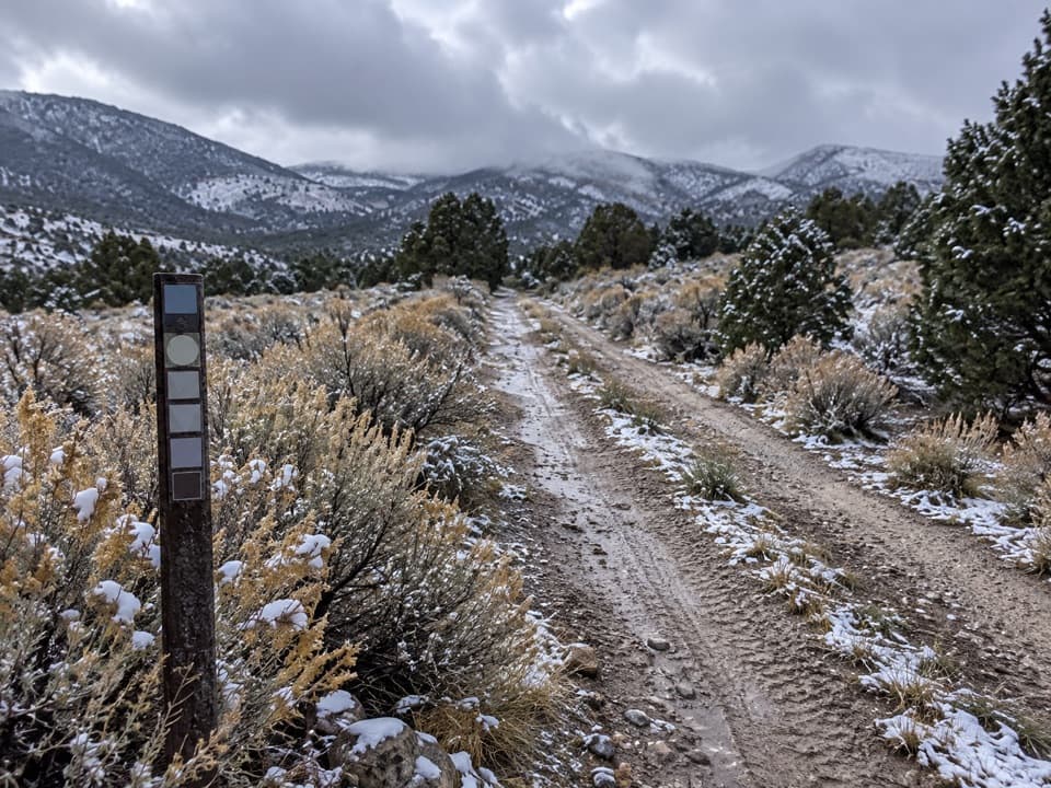 26Weaver Creek TrailA signed 12-mile round trip into Weaver Creek basin.
 27Shoshone ADA TrailA quick creekside stop with a small accessible fishing platform.
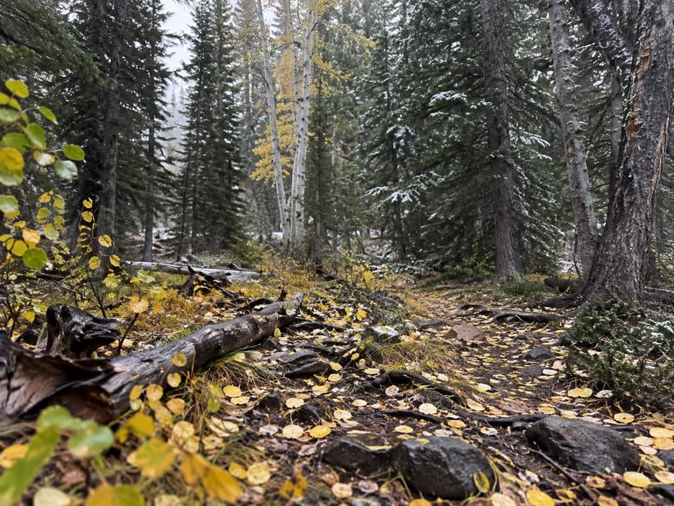 28Lower Lehman TrailA short creekside walk with about 230 feet of climbing.
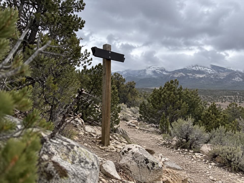 29American Discovery Trail: Great Basin SectionA 22-mile one-way road-and-track route skirting Great Basin’s north side.
The highest, rockiest slopes around here are a summer buffet for grizzly bears.
Great Basin Tour Guide
Great Basin, narrated.
Parkwolf is a GPS audio tour guide for Great Basin National Park. As you drive, it chimes in with what’s ahead: hidden gems, upcoming stops, history, geology, and wildlife, right through your car’s speakers.
Recorded for this place
Lehman Caves: Look for the Shields0:00 / 0:39
“You're approaching Lehman Caves and its visitor center. I'd stop for the cave's unusual shields: more than three hundred formations made of two thin calcite plates with a narrow gap between them.”
Plays as you drive up to Lehman Caves in the Parkwolf Great Basin Tour Guide.
More stories near here in the app
- Astronomy Amphitheater: An Evening at the Telescopes
- Packrats Keep a Climate Record
- A Jackrabbit’s Cooling Ears
- Grey Cliffs and Pole Canyon: A Shaded Lunch Stop
- 36 audio storiesacross Great Basin’s roads, triggered by GPS as you drive
- Wildlife heatmapsfor Elk, Mule Deer, Wild Turkey, and 13 more
- Works offlinemaps, 29 trails, 29 places, and audio download before you lose signal
- CarPlay readysimple controls built for the drive
“Fantastic app with many points of information… It’s great to just turn on while you’re driving and it gives you an audio tour of the national Park. We love it!!!!”

