
Place
Challenging
This is a grind with a payoff. The Palisade Lookout Trail climbs steadily to a former fire lookout perched on the Jasper Palisade—sheer, fortress‑like cliffs above the Athabasca River valley. Expect broad, roughly 160‑degree views over the river, the Jasper townsite, and nearby ranges like the Colin Range. If you like big panoramas after a long, quiet ascent, this one delivers.
From the end of Pyramid Lake Road, the route follows the Pyramid Mountain Fire Road/old access road through forest for most of the way—navigation is straightforward, but views are limited until near the top. The final stretch steepens and grows rougher before the landscape opens to rocky outcrops and the lookout site. It’s an out‑and‑back of about 12.4 miles/20 km total with roughly 800 m of elevation gain. The climb is sustained and the descent can be tough on knees; trekking poles help.
The destination is the crest of the Jasper Palisade, a striking wall of erosion‑resistant rock with vertical markings that really do read like ramparts. From the open upper slopes and the lookout site, you’ll get sweeping views ideal for photography—especially around sunrise or sunset when light rakes the valley.
Generally mid‑spring through fall (May–October). August and September are your best bet for clear vistas and comfortable temperatures. Early summer can still hold mud or snow higher up. Winter conditions make the trail hazardous for most hikers; some trip reports describe a groomed fire road approach suitable for skis in many winters, but treat that as a backcountry outing and go prepared.
Drive up Pyramid Lake Road past Patricia and Pyramid Lakes to the end of the pavement and park in the lot there. The route largely follows the Pyramid Mountain Fire Road; pay attention at junctions as the old lookout road angles upward. The trail is multi‑use, and some cyclists ride from town for a much longer day (user reports cite roughly 34 km round trip and ~1,000 m vertical by bike).
Drive past Patricia and Pyramid Lakes to the end of Pyramid Lake Road (end of pavement) and park in the lot there.
Steep, sustained climb with a rough, exposed upper section; bears are common; rapid weather shifts and wind at the top—carry layers, bear spray, and consider trekking poles.
Place
Place
Place
Place
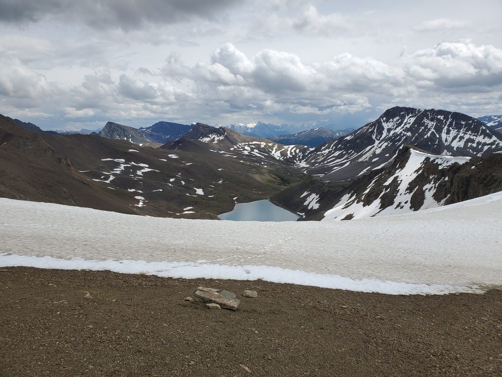
Challenging
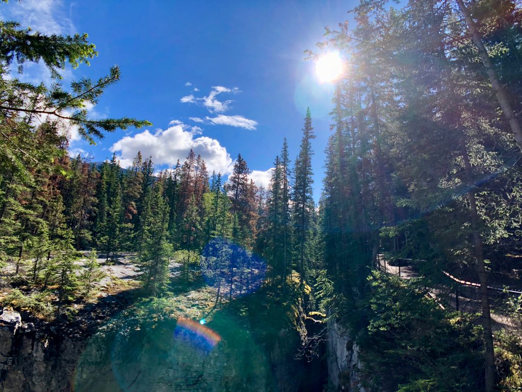
Moderate
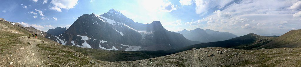
Moderate
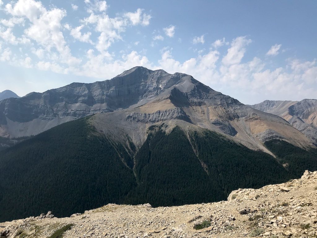
Challenging

Parkwolf Tour Guide
