Pros & cons
PROS
- Bikeable fire road approach saves hours on a very long day
- Optional detour to a pretty alpine tarn near the summit
CONS
- Long, monotonous fire road dominates the day unless you bike
- Loose scree near the top with some rockfall exposure
- Early-season snow can shut down the final scramble
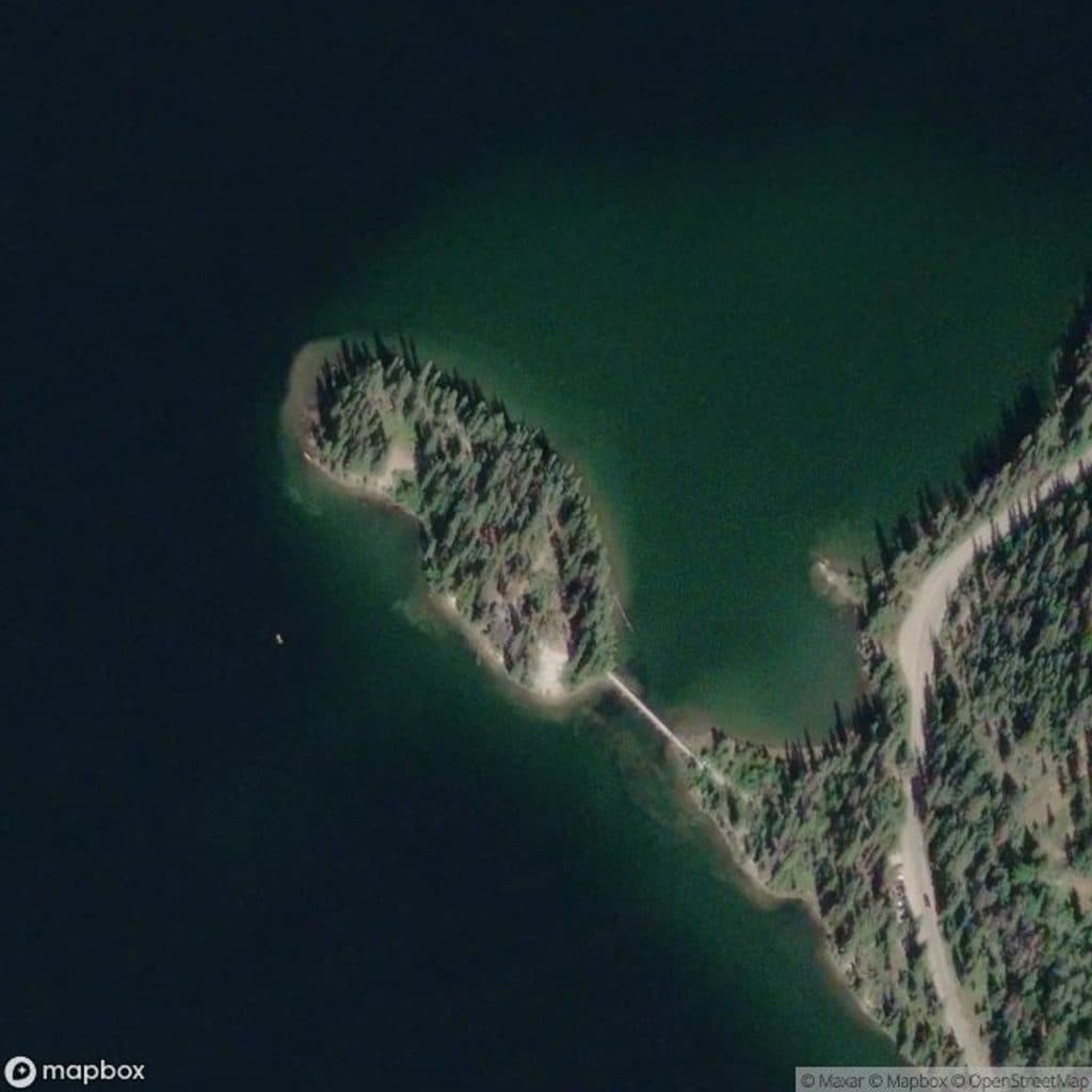
Park at the very end of Pyramid Lake Drive (past Pyramid Lake Resort and Pyramid Island) and start up the gated fire/logging road toward Pyramid Mountain.
Big, remote day with ~1,585 m of gain and a short hands-on scramble. Expect loose rock near the summit, rapidly changing mountain weather, unreliable cell service, and lingering early-summer snow on north-facing slopes. Carry layers, navigation, ample water/food, and manage spacing to avoid rockfall.
Why this hike
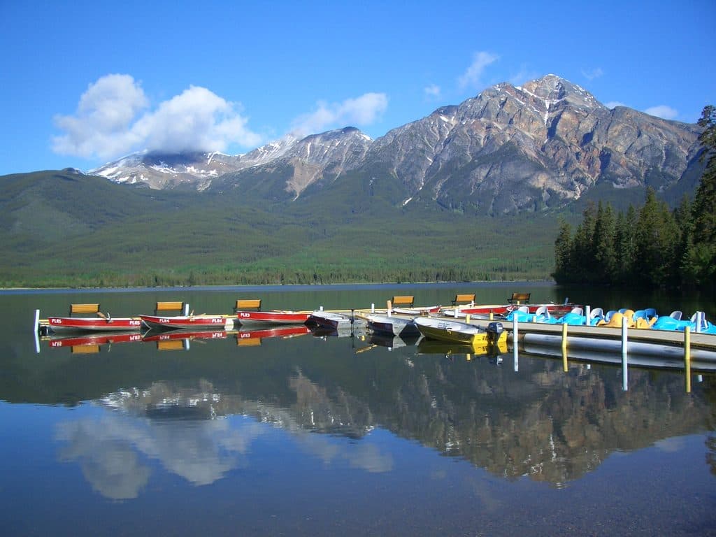
If you want a proud summit day right above town, this is it. Pyramid Mountain tops out at 2,763 m and is the highest peak in Jasper’s immediate neighborhood. It’s a demanding out-and-back—about 30 km total—with a long approach that many smart folks tackle by bike. The payoff: vast views over Jasper, Pyramid and Patricia lakes, and ridgelines in every direction.
Route at a glance
Start at the end of Pyramid Lake Drive, just past Pyramid Lake Resort and Pyramid Island. The first 12 km (one way) follow a wide old fire/logging road—prime for biking to save time and legs. At a fork, the right branch heads to Palisade Lookout; stay left for Pyramid Mountain. Most people stash bikes where the road ends in a meadow, then continue on foot up steep singletrack into open alpine tundra.
The scramble
Expect a final hands-on push over rocks and scree for the last 300–400 m below the summit. It’s non-technical, but it is exposed to loose rock and feels serious if you’re tired. No ropes needed; just solid footwear, good judgment, and comfort with easy scrambling.
What you’ll see
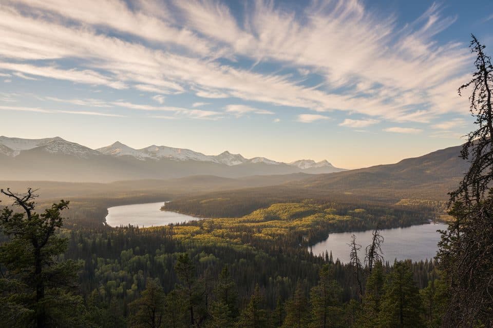
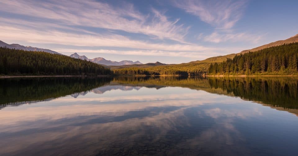
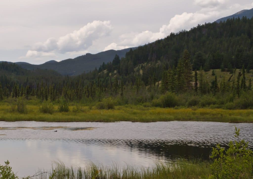
The lower forest shows patches of beetle-affected pines and frequent windows to surrounding peaks. Above treeline, meadows open to classic Rockies geology—layered sedimentary towers weathered by ice and wind. From high on the route you’ll stare straight down at Pyramid and Patricia lakes, with big views toward Mount Cairngorm and Mt. Zengel. Adventurous parties sometimes drop to a small alpine tarn below the summit ridge—worth it if you have extra energy.
Best time to hike
Plan for summer after snow has burned off the north-facing upper slopes—July into August is the sweet spot. Late June through September can work in a good year; early summer snow can make the final scramble treacherous. Start at sunrise for the 10–12 hour day, catch cooler temps on the road climb, and give yourself margin for the descent.
Logistics and tips
- Bike the approach. It turns a sloggy road into quick work and pays dividends on the way out.
- Bring layers, solid boots, light scrambling gloves, navigation, and plenty of food and water. Cell reception is unreliable.
- Watch for cairns and faint lines above treeline. In groups, manage spacing to reduce rockfall risk.
- Want a shorter day? The Palisade Lookout spur at the fork is a nice consolation, and Pyramid Lake/Pyramid Island offer easy, scenic strolling.
Who it’s for
Strong hikers and scramblers who enjoy big vertical, solitude, and a touch of hands-on terrain will love this route. If a long fire road and a loose top-out don’t sound fun, skip the summit day and enjoy the lakes below instead.
Distance: roughly 30 km total out-and-back, including the long approach road. Typical time: 10–12 hours in summer conditions. Overnighting near the base is possible with a backcountry camping permit from Parks Canada.
Near Pyramid Mountain
All places →All trails →
Maligne LakeGlacier-blue lake with cruises to photogenic Spirit IslandTrailhead · Parking
Mount Edith CavellAngel Glacier views and wildflower meadows on Jasper’s signature peakTrailhead · Restroom
Spirit IslandIconic island view on turquoise Maligne Lake, reached only by boat
Athabasca FallsRoaring glacier-fed falls squeezed into a narrow quartzite canyonTrailhead · Pullout
Skyline TrailCanadas premier alpine traverse with 25 km above treeline.Challenging · 27.4 mi · 16 hr
Maligne CanyonJasper’s classic gorge walk with bridges, waterfalls, and karst springsModerate · 2.3 mi · 1.5 hr
Cavell MeadowsWildflowers and glaciers with a steep, rewarding ridge loopModerate · 4.6 mi · 4 hr
Sulphur SkylineSteep climb to a 360-degree ridge, then a hot-springs soak belowChallenging · 5.3 mi · 4.5 hr