Pyramid Island Loop in Jasper National Park

Jasper National Park, AB

Pyramid Island Loop

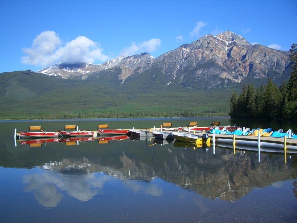
A tiny, flat island stroll with big Pyramid Mountain views

Length
0.5km
Time
10min
Elevation
Flat
Difficulty
Easy
  • Loop
  • Dogs allowed
  • High point 1,185 m

Hear the audio tour

Pyramid Lake and its Famous Island

Overview

About Pyramid Island Loop

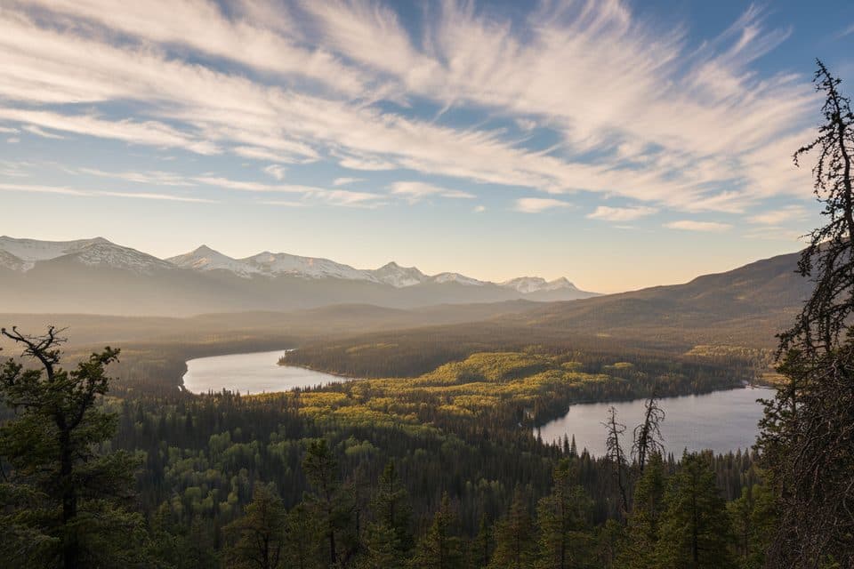
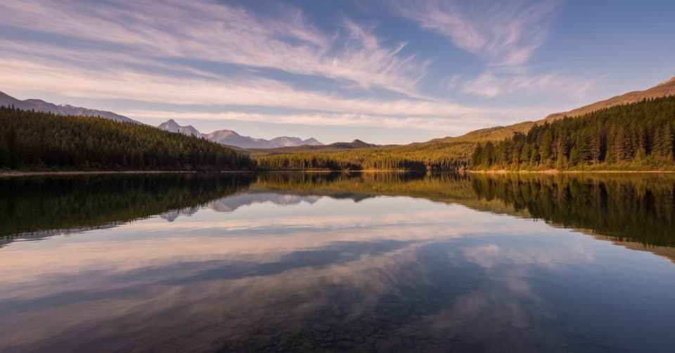
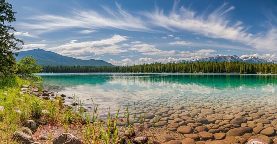
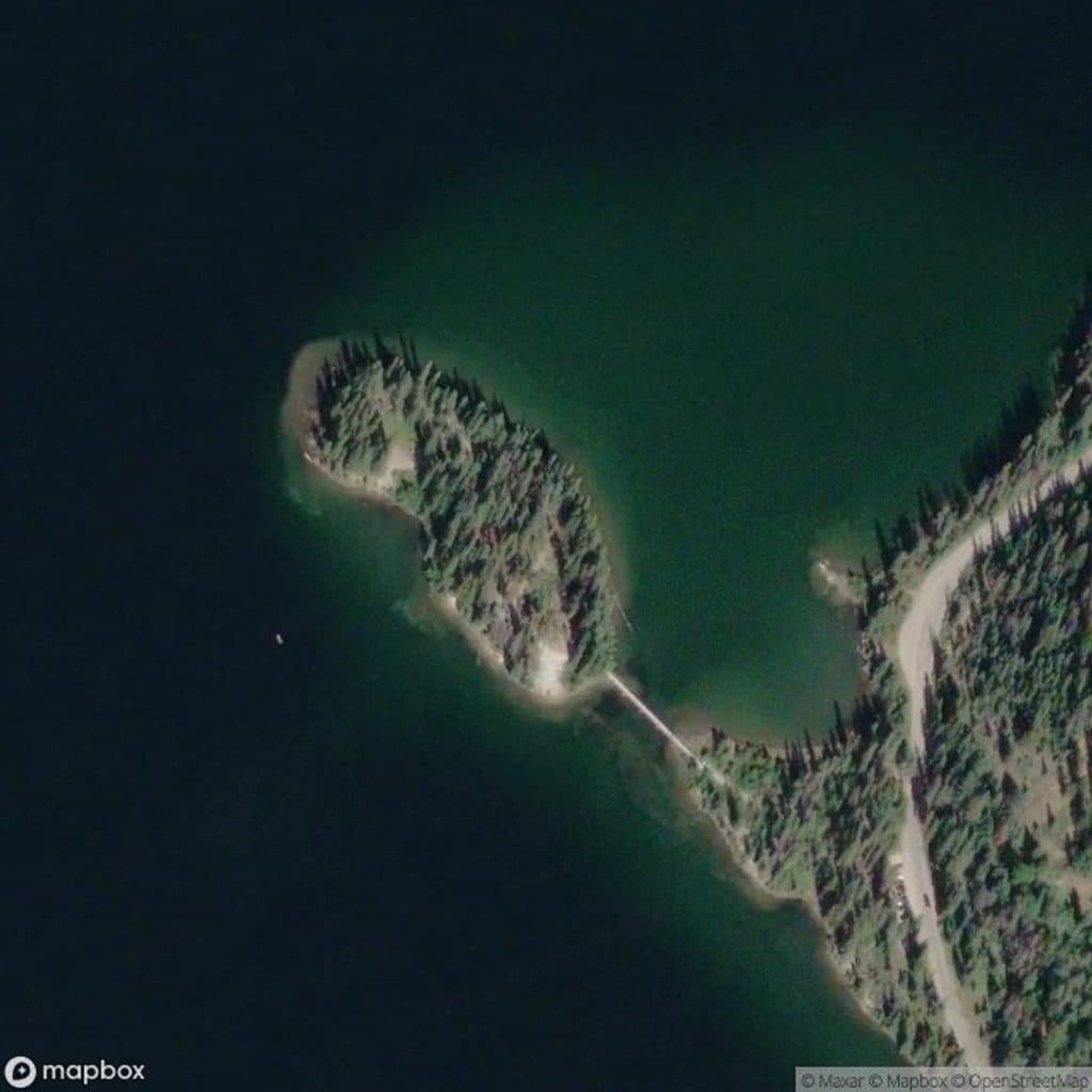
This is the definition of low-effort, high-reward. Start at the Pyramid Island bridge trailhead, cross the short wooden bridge, and follow the compacted path around the tiny island. The route returns along the same bridge, with lake-and-mountain views throughout and especially good reflection photos when the water is calm.

Plan on roughly 0.29 miles (0.47 km) total for the bridge, island connector, shoreline loop, and return over the bridge. That is about 10 minutes of easy walking (0.17 hours), with extra time worthwhile for photos, benches, and the historic shelter. The route is essentially flat and family-friendly rather than a workout.

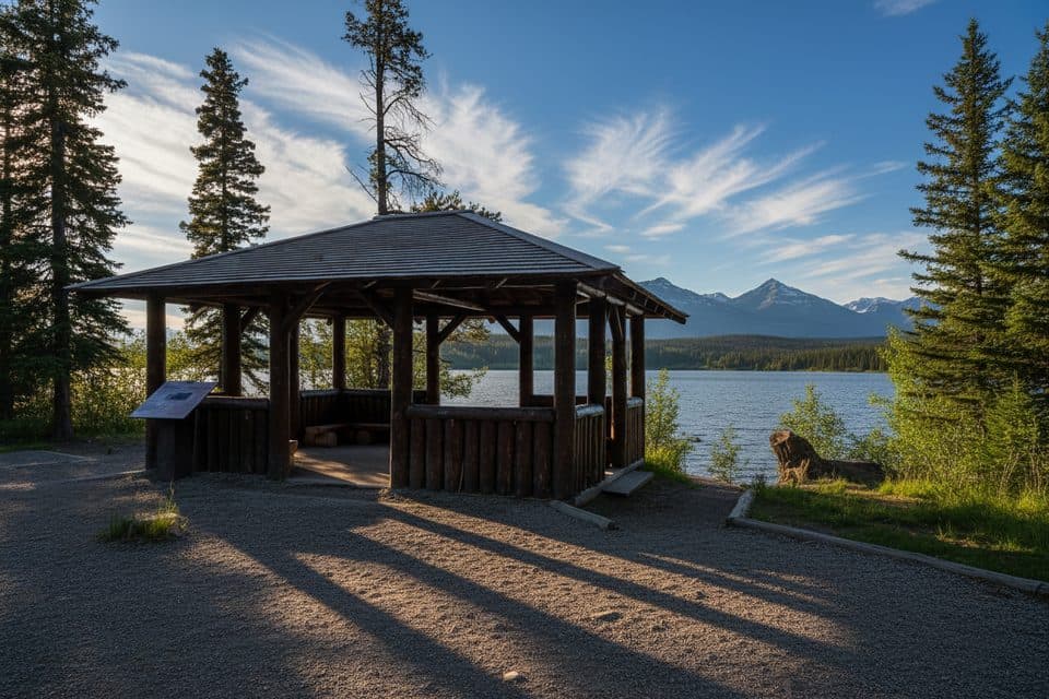
On the island you’ll find a rustic 1933 log shelter recognized as a Federal Heritage Building, benches, and views toward Pyramid Mountain. The bridge and shoreline make strong photo foregrounds, while birds are common around the lake and deer may be seen nearby. If you want a longer outing, use the separate Pyramid Lake Overlook Loop rather than extending this short island route.

The bridge and island path are mostly flat and reached from a designated trailhead parking area. Parks Canada identifies one accessible paved stall at the trailhead, but it has no side access aisle; compacted gravel, roots, and small uneven sections mean the loop should not be assumed to be fully wheelchair accessible. Winter ice can make the bridge and path slick, so use traction. Parking is limited, and the short route can bottleneck around the bridge and shelter at busy times.

Why go

  • Historic 1933 log shelter on the island, designated as a Federal Heritage Building
  • Consistently stellar reflection views of Pyramid Mountain from the bridge and shoreline

Heads up

  • Very limited parking right at the bridge (~5 spots) with frequent turnover
  • Extremely short; hikers seeking a workout will find it underwhelming

Map & elevation

The route

Loading the Jasper map
Full map
Elevation1,180–1,185 m
TrailheadPyramid Island52.92425, -118.09674
Keep this map with you offline in the Parkwolf app

Plan your hike

Before you go

Parking

Parks Canada identifies roughly five stalls at the Pyramid Island trailhead, including one designated accessible paved stall without a side access aisle; a shared parking area is about 100 m away. Arrive early or late because turnover is quick and the bridge can become a photo bottleneck.

Safety

The bridge and compacted island path can be icy in winter; use traction. Small uneven or gravel sections mean accessibility is not guaranteed for every mobility device. Keep pets leashed under park rules and give way around the bridge and shelter when busy.

8 active Jasper alerts

  • ClosureWildfire-impacted areas and facilities closedStay out of closed wildfire-impacted areas and facilities in Jasper National Park; closures protect public safety after the 2024 wildfire and remain in effect while recovery and safety work continues.Official details
  • Closure93A (Wabasso Road) no through travel during roadworkFrom mid-October to early November 2026, plan for 93A (Wabasso Road) to be accessible from the south entrance only; no through travel is expected during roadwork.Official details
See all 8 alerts
A park ranger sits on a dash-mounted phone, talking, as Parkwolf’s Tour Guide plays “Army Cutworm Moths: A Grizzly Bear Buffet” on Grand Loop Road below Dunraven Pass in Yellowstone
Parkwolf Tour GuideThe highest, rockiest slopes around here are a summer buffet for grizzly bears.

Jasper Tour Guide

Your drive to Pyramid Island Loop, narrated.

Parkwolf is a GPS audio tour guide for Jasper National Park. As you drive, it chimes in with what’s ahead: hidden gems, upcoming stops, history, geology, and wildlife, right through your car’s speakers.

See the Jasper audio tour

Recorded for this trailhead

Pyramid Lake and its Famous Island
Listen
“You're coming up to the Pyramid Lake area, one of Jasper’s most iconic spots. The main attraction is the incredible view of Pyramid Mountain reflecting in the water.”

Plays as you drive up to this trailhead in the Parkwolf Jasper Tour Guide.

More stories near here in the app

  • Dark Skies at Pyramid Lake
  • Jasper Red Chair Pyramid Overlook Trail
  • Pyramid Lake Beach: A Swimmable Lake
  • Pyramid Lake Resort: Lakeside Lodging and Activities
  • 157 audio storiesacross Jasper’s roads, triggered by GPS as you drive
  • Wildlife heatmapsfor Grizzly Bear, Caribou, Gray Wolf, and 13 more
  • Works offlinemaps, 91 trails, 129 places, and audio download before you lose signal
  • CarPlay readysimple controls built for the drive
★★★★★
“Fantastic app with many points of information… It’s great to just turn on while you’re driving and it gives you an audio tour of the national Park. We love it!!!!”
JMJamesApp Store review
Download Parkwolf on the App StoreGet Parkwolf on Google Play

4.7 from 8,600+ ratings

Wildlife

Wildlife in Jasper

All Jasper wildlife maps

Sighting maps show where each species has been reported across Jasper. Wildlife moves, so no sighting is guaranteed.

Keep exploring

Near Pyramid Island Loop

See it all on the map

Trails that start nearby

Places near the trailhead

Parkwolf’s Jasper ranking

Top-rated trails in Jasper

All 91 trails
  1. 1Skyline TrailChallenging · 44.1 km
  2. 2Maligne CanyonModerate · 3.7 km
  3. 3Cavell MeadowsModerate · 8.4 km
  4. 4Sulphur SkylineChallenging · 8.9 km
  5. 5Athabasca Falls LoopEasy · 0.8 km
  6. 6Indian RidgeChallenging · 8.9 km

Take Parkwolf to Jasper.

The audio tour guide for the drive, plus offline maps, trails, and wildlife heatmaps for when the signal drops.

4.7 from 8,600+ ratings

Download Parkwolf on the App StoreGet Parkwolf on Google Play