
Place · 0.6 mi away
Moderate
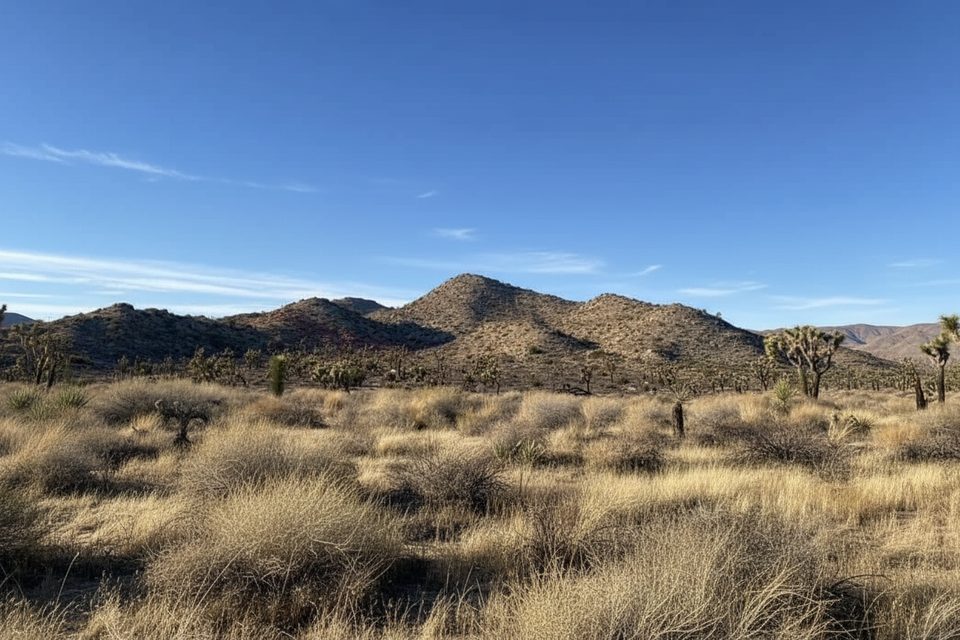
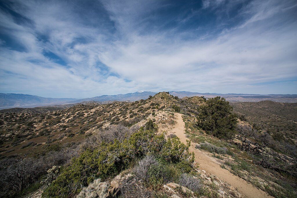
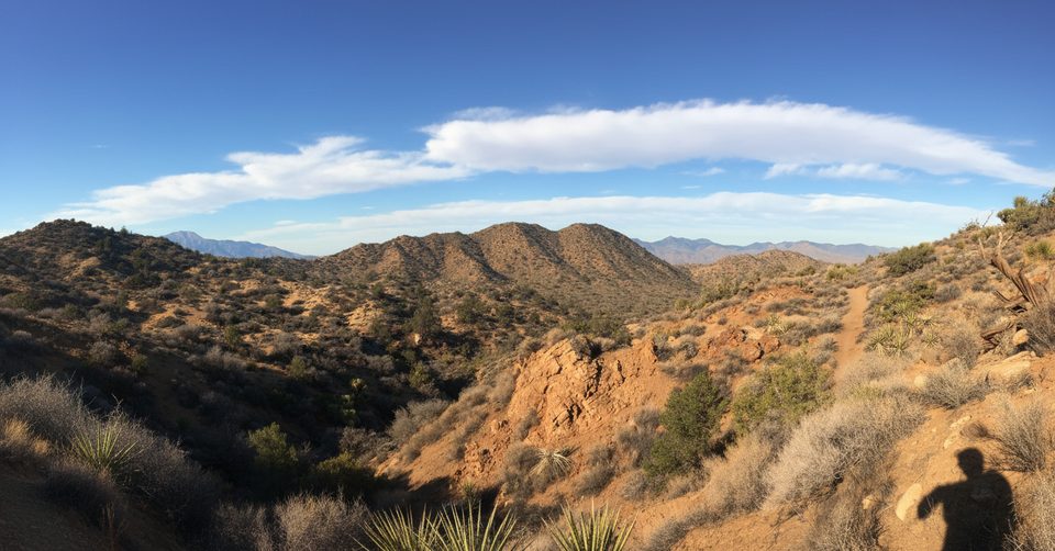
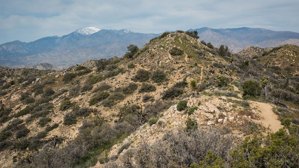
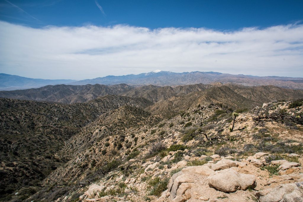
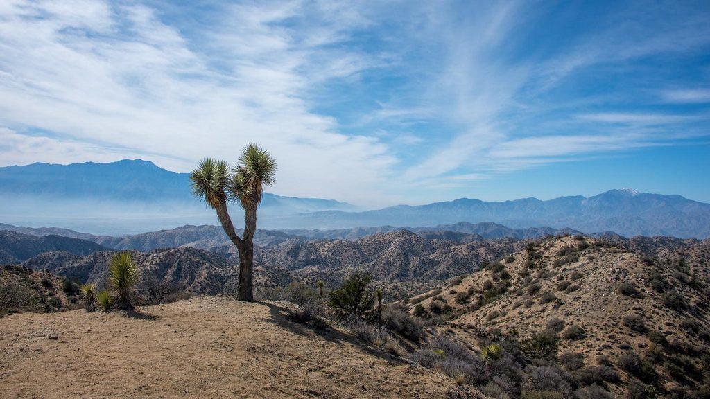
Burnt Hill is the quieter, scenic side of Joshua Tree’s Black Rock area. Expect a moderately long outing through pinyon- and Joshua tree–studded hills, sandy washes, and a narrow canyon before the trail opens to big desert vistas. The full route is about 7.3 miles round trip (total), with roughly 910 feet of gain. It’s a solid half‑day for most hikers—long enough to feel like an adventure, but not a sufferfest.
You can hike Burnt Hill as an out‑and‑back or turn it into a loop by linking with the Eureka Peak Trail. If you’re chasing a bigger payoff, add the side trip to Eureka Peak from the Burnt Hill/Eureka junction for an extra 2.4 miles round trip. Local loops that include Burnt Hill (like combining Black Rock Canyon and Canyon View) are also popular and land in the ~6–7 mile, moderate range.
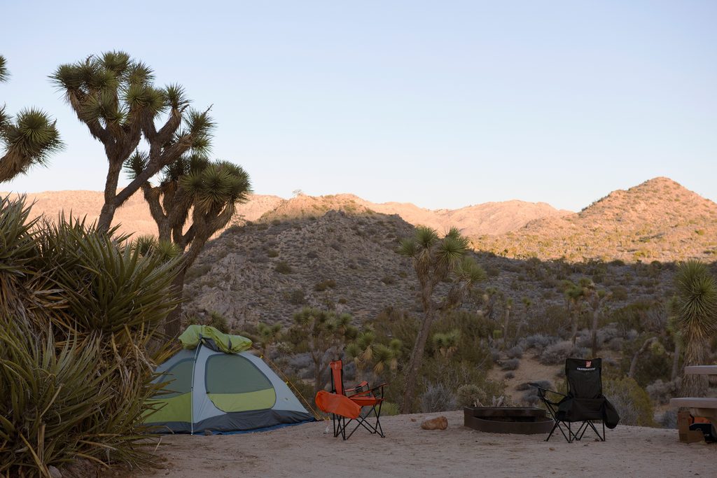
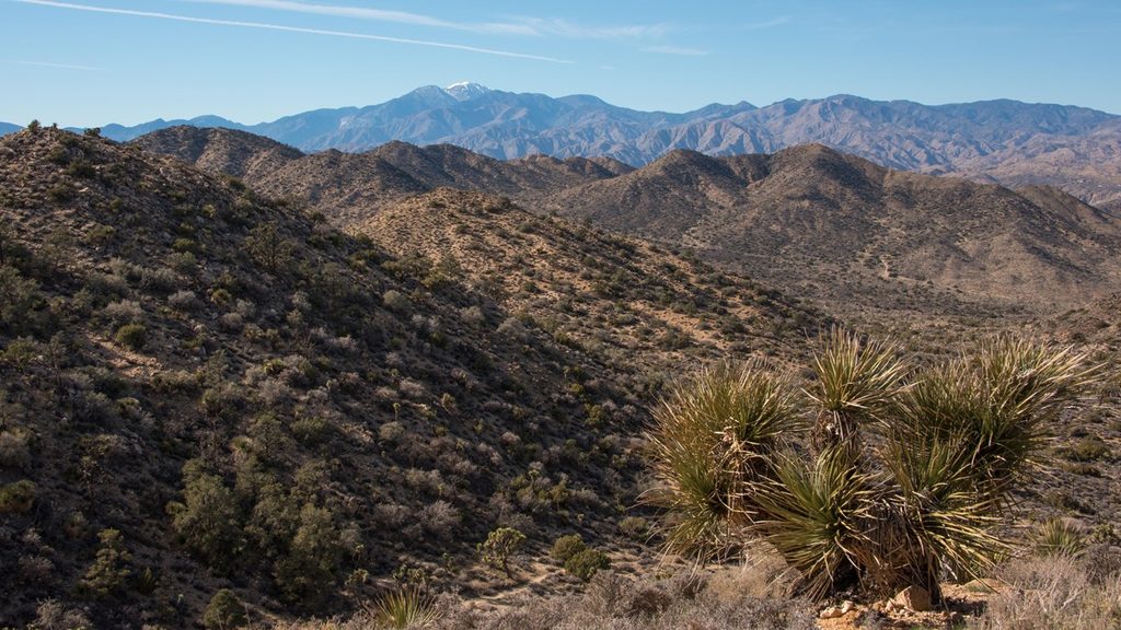
This corner of the park hosts one of the denser Joshua tree forests, mixed with pinyon pines and classic Mojave shrubs. The route threads a wash, squeezes through a narrow canyon, and then breathes out onto broad, open hills with sweeping views over the Black Rock region. Keep an eye out for birds and lizards sunning on granite outcrops—wildlife is subtle here, but you’ll often spot movement if you slow down and scan.
Moderate overall. The elevation gain is steady rather than steep, but stretches of soft sand make it feel tougher and slow your pace. Wayfinding is generally straightforward, yet signage is only average—basic map sense makes the day smoother. You’ll likely enjoy real solitude compared to the park’s headline hikes.
October through April is prime. This area sits a bit higher than much of the park, so it can run slightly cooler, but shade is minimal and the sun still bites. Avoid hot, windless afternoons; early morning or late‑day light is better for views and photos and keeps temps manageable. Summer isn’t recommended due to heat and exposure.
Underrated and pleasantly quiet, Burnt Hill delivers classic high‑desert scenery without the crowds. If you want a bit more payoff, loop it with Eureka Peak—or keep it simple and enjoy the solitude among Joshua trees.
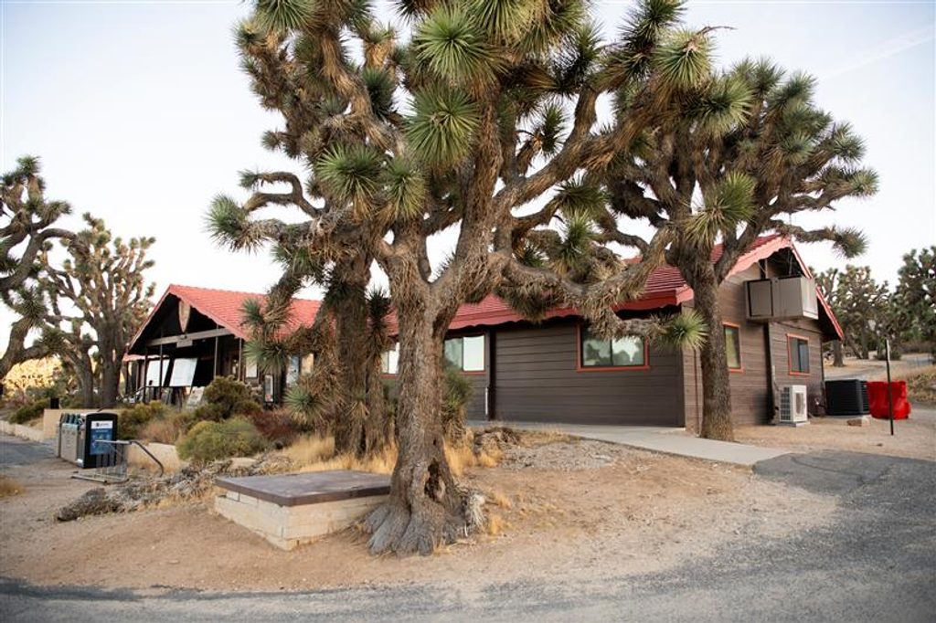
Park at the Black Rock Backcountry Trailhead or near the Black Rock Nature Center (by campsite 30); overflow parking is available in the horse camp area.
Exposed, hot, and sandy—carry ample water and sun protection; signage is only average, so bring a map or GPS; no shade or water on route; pets not allowed.
Place · 0.6 mi away
Place · 0.6 mi away
Place · 1 mi away
Place · 1.2 mi away
Moderate · 0.6 mi away
Moderate · 0.7 mi away
Moderate · 0.7 mi away
Moderate · 0.7 mi away

Parkwolf Tour Guide
