Parking
Parking is limited in the Black Rock area. Use the Black Rock Backcountry Trailhead, or start near campsite 30 from the Nature Center; the horse parking area provides overflow on busy days.
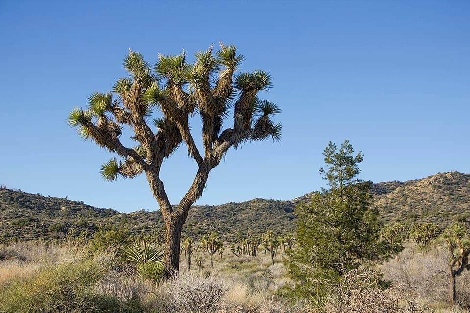
Joshua Tree National Park, CA
A four-mile loop through washes, ravines and pinyon hills.
Overview
Map & elevation
Plan your hike

The highest, rockiest slopes around here are a summer buffet for grizzly bears.
Joshua Tree Tour Guide
Parkwolf is a GPS audio tour guide for Joshua Tree National Park. As you drive, it chimes in with what’s ahead: hidden gems, upcoming stops, history, geology, and wildlife, right through your car’s speakers.
See the Joshua Tree audio tourRecorded for this trailhead
Black Rock Canyon and Its Jellystone Past“You're approaching Black Rock Canyon, a separate corner of the park with dense Joshua trees and its own trail network.”
Plays as you drive up to this trailhead in the Parkwolf Joshua Tree Tour Guide.
More stories near here in the app
“Fantastic app with many points of information… It’s great to just turn on while you’re driving and it gives you an audio tour of the national Park. We love it!!!!”


Trail guide
This 4-mile loop crosses the hills, washes, ravines and open valleys east of Black Rock Campground. Allow 2–3 hours. The trail rises about 520 feet to its high point and is a moderate hike, with a sandy wash approach, a few steep ridge climbs and an easier return. From the Black Rock Backcountry Trailhead, follow the Black Rock Canyon section south, continue east on Short Loop, then take the connector to the California Riding and Hiking Trail for the return west.
The route starts in a wash and climbs through a tributary canyon toward its high point. From there, the view opens west toward Mount San Gorgonio. The route then drops into another canyon and crosses a few ridges with short, steep ups and downs before joining the return trail. The last stretch gradually descends through a broad stand of Joshua trees.
Look for scattered Joshua trees, juniper, rabbitbrush and occasional pinyon pine. Jackrabbits and lizards are possible; desert tortoises live here too, but are rarely seen.
This higher part of the park can feel cooler than the low desert, but there is very little midday shade. It is a poor choice in summer heat; carry at least 2 liters of water and sun protection. Parking is limited around Black Rock. The loop starts at the Backcountry Trailhead, or near campsite 30 from the Nature Center; the horse parking area can take overflow on busy days. Pets are not allowed on park trails.
Wildlife
 129 sightingsBighorn SheepMost seen around 6 PMSighting map
 15 sightingsGolden EagleMost seen around 10 AMSighting map
 413 sightingsDesert TortoiseMost seen around 8 AMSighting map
 275 sightingsCoyoteMost seen around 6 AMSighting map
 47 sightingsBobcatMost seen around 6 PMSighting map
 32 sightingsMule DeerMost seen around 6 AMSighting map
Sighting maps show where each species has been reported across Joshua Tree. Wildlife moves, so no sighting is guaranteed.
Keep exploring
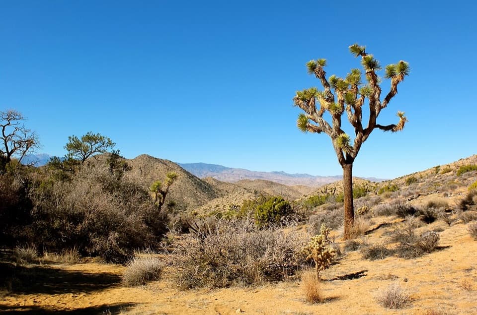 EasyBlack Rock Canyon Trail3.5 mi · 2 hr · At the trailheadA sandy wash climbs toward a spring and the Panorama junction.
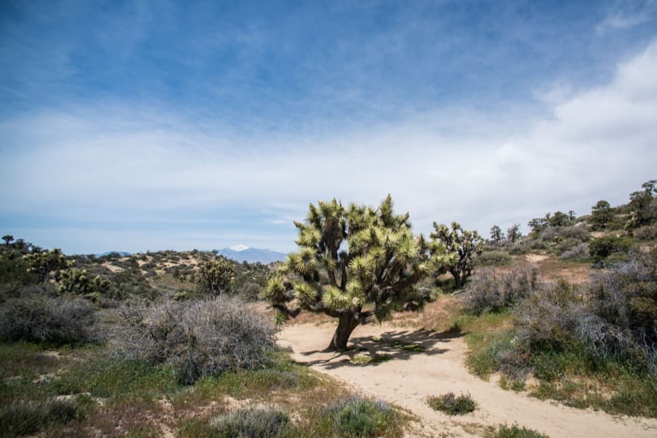 ChallengingPanorama Loop Trail6.6 mi · 4 hr · At the trailheadClimb from a sandy wash to an open ridge and far horizons.
 ChallengingWarren Peak Trail6.3 mi · 4 hr · At the trailheadLong desert miles lead to a steep summit and wide western views.
 ChallengingBurnt Hill Trail7.3 mi · 4.5 hr · At the trailheadA varied Black Rock loop through a wash, canyon and open valley.
 ChallengingCalifornia Riding and Hiking Trail36.6 mi · 18 hr · At the trailheadA 36.6-mile traverse from Black Rock Canyon to North Entrance.
 ChallengingEureka Peak Trail9.6 mi · 7 hr · At the trailheadA long sandy climb to a 360-degree summit view.
 ModerateHi-View Nature Trail1.3 mi · 1.5 hr · 0.7 mi awayShort loop, wide views, and more climb than the mileage suggests.
 ModerateBigfoot Trail7.9 mi · 6 hr · 3.6 mi awayA remote one-way traverse through open valleys and rocky canyons.
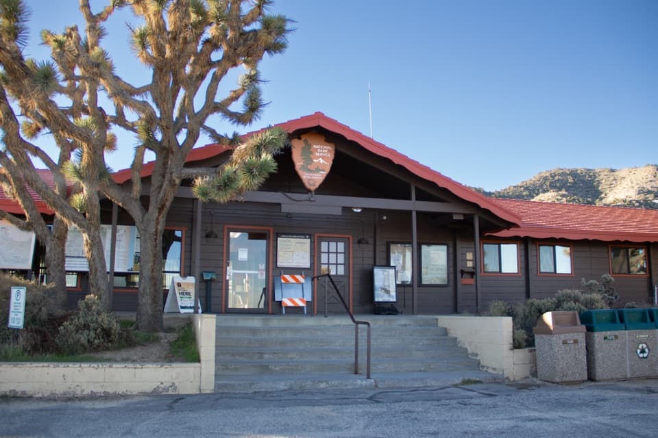 Visitor center · 0.2 mi awayBlack Rock Nature CenterRanger advice, rotating art, and a Yogi Bear campground story.
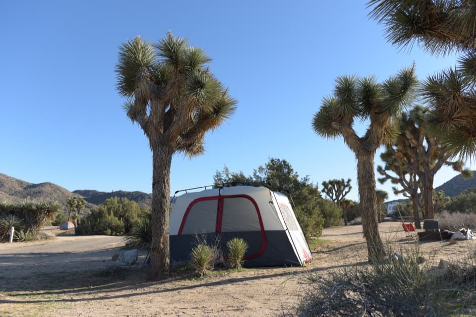 Campground · 0.3 mi awayBlack Rock CampgroundCamp beneath Joshua trees with a Jellystone Park past.
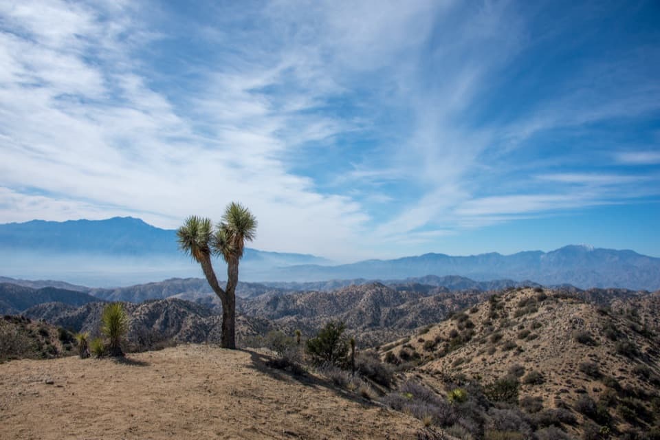 Sight · 3.6 mi awayEureka PeakA steep dirt-road detour to a wide 360-degree summit view.
 Sight · 3.7 mi awayNancy Karl Trail OverlookA sandy trail leads to a wayside view over the desert basin.
 Visitor center · 5.8 mi awayJoshua Tree Visitor CenterPick up a map and ranger advice before the West Entrance.
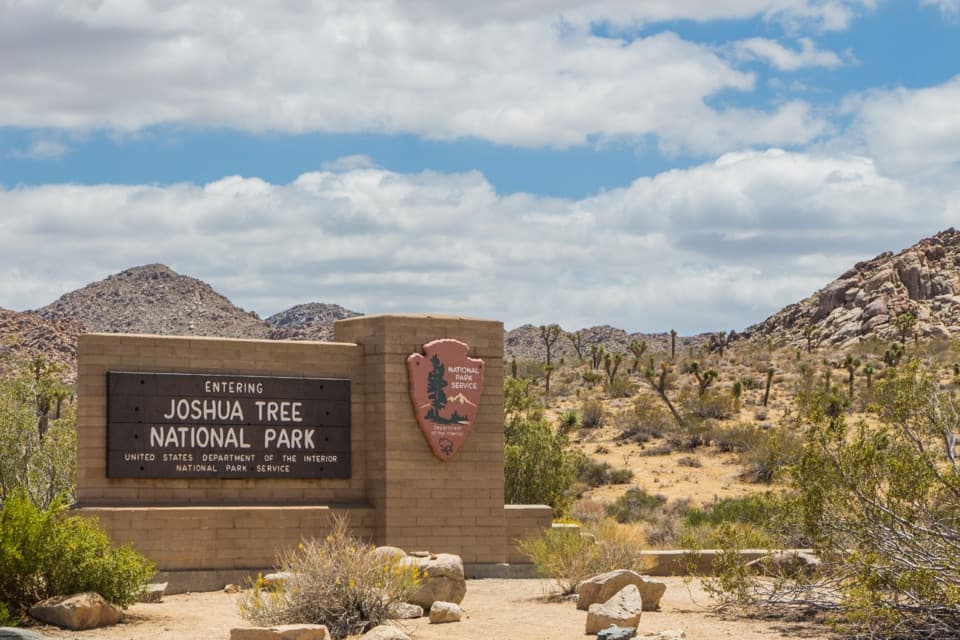 Entrance station · 7.1 mi awayWest Entrance and Welcome SignThe west-gate sign, water fill, and first stop on the park drive.
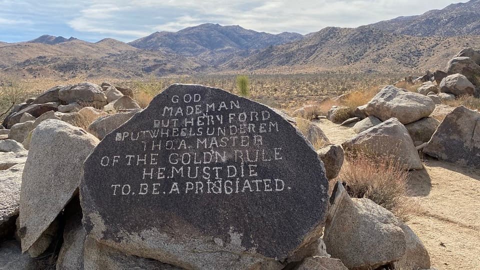 Sight · 8.5 mi awaySamuelson RocksCarved desert messages from a man whose story went missing.
Parkwolf’s Joshua Tree ranking

The audio tour guide for the drive, plus offline maps, trails, and wildlife heatmaps for when the signal drops.





