Moderate

California Riding and Hiking Trail

A quiet 38-mile desert traverse for self-sufficient backpackers.
California Riding and Hiking Trail, Joshua Tree National Park
Distance37.5 mi
Typical time16 hr
DifficultyModerate
PetsNot allowed

Overview

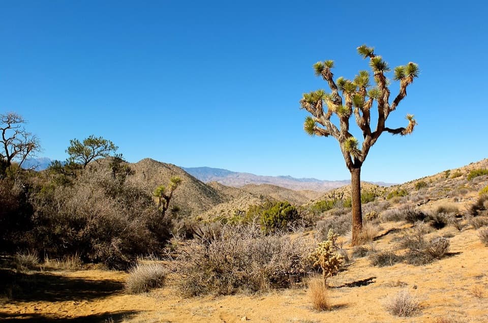
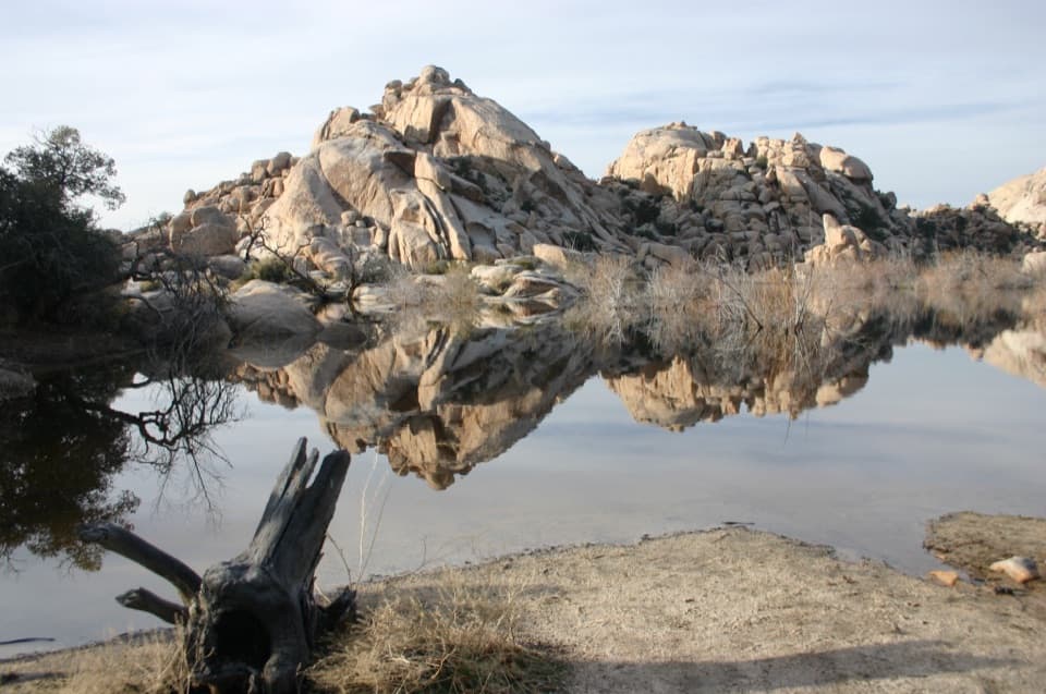
The California Riding and Hiking Trail (CRHT) is Joshua Tree’s classic cross-park traverse—about 37–38 miles point-to-point from Black Rock Canyon Campground on the west end to the North Entrance near Twentynine Palms on the east. It’s a remote, committing walk through Joshua tree forests, granite outcrops, and open Mojave Desert, prized for solitude and a deep sense of wilderness. Most hikers treat it as a 2–4 day backpack; it’s less about a single big view and more about settling into the rhythm of the desert.

Trail Experience

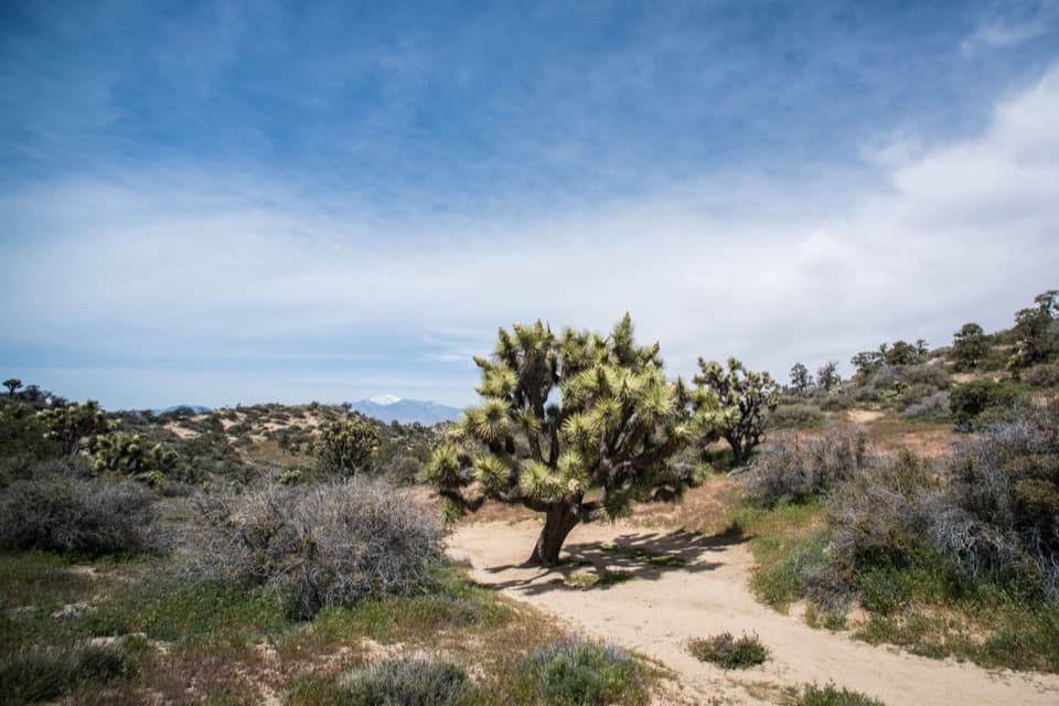
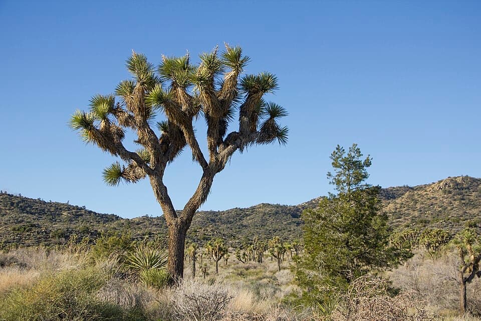
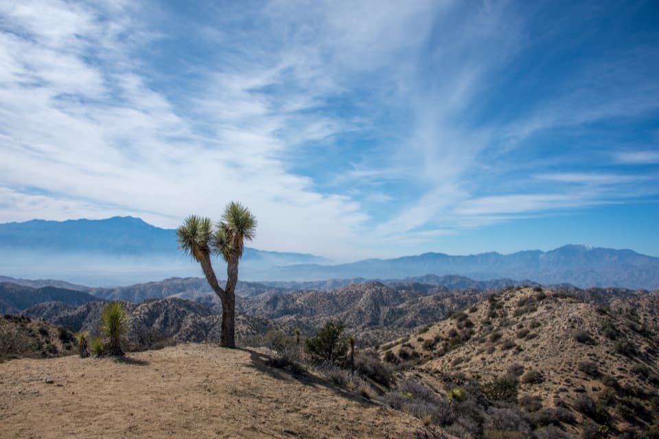
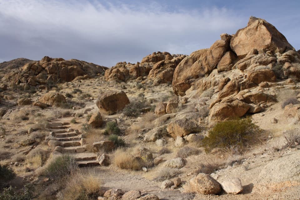
Expect a mostly gentle grade with long, sandy stretches, compacted dirt, and occasional rocky or faint tread. The route is generally signed and aided by mile markers, but washes and side paths can cause confusion—bring a map or GPS as backup. You’ll move through dense Joshua tree stands (notably near Covington Flat), skirt massive boulders by areas like Ryan Campground, and pass near the high country by Quail Mountain before easing into lower, more open desert. Wildlife is present but subtle; most hikers report seeing birds, not large mammals.

Logistics, Water, and Camping

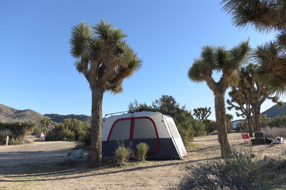
This is a true desert traverse: there are no reliable water sources on the trail. Most hikers cache water at road crossings ahead of time and retrieve empties afterward. Plan, label, and secure your caches. Dispersed backcountry camping is allowed along the route (no designated sites), and the trail is usually broken into logical legs between road crossings that work well for camps and bail-out points. A backcountry permit is required for overnight trips; day hikes don’t require a permit. Pets are not allowed on trails. Cell reception is unreliable—especially at the endpoints—so arrange your shuttle plan in advance. Many hike west to east for a net downhill profile.

Terrain, Geology, and Ecology

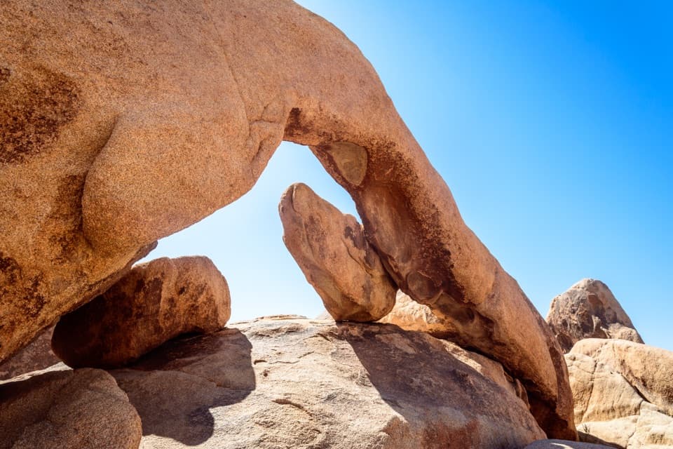
You’ll span elevations from roughly 2,836 feet to about 5,167 feet. The west side carries a touch of higher, cooler country before transitioning into broad Joshua tree flats and then into lower-elevation Mojave terrain. Underfoot you’ll cross sandy washes and alluvial fans, with granite and monzogranite outcrops adding that signature Joshua Tree boulder scenery—particularly near the central section.

Best Time to Hike

October through May is the sweet spot, with fall, winter, and spring bringing cooler temps and the possibility of spring blooms and blooming yuccas. Avoid summer—exposure is relentless and heat routinely tops safe hiking thresholds. Start early each day for cooler temperatures and better light on the boulders and Joshua trees. Weekdays see even fewer people on an already quiet route.

Who Will Love It (and Who Won’t)

If you want a short “mini-thru-hike” with real solitude, straightforward navigation, and classic desert scenery, the CRHT delivers. It’s best for hikers comfortable planning caches and shuttles and traveling self-sufficiently. If you’re looking for constant dramatic overlooks or convenient water and camp infrastructure, this isn’t your trail.

Pros

  • Logical segments at road crossings make water caches and camps easy to plan
  • A true cross-park traverse with sustained solitude and wilderness feel
  • Distinct ecological progression from high desert to Joshua tree flats

Cons

  • Absolutely no on-trail water; caching is mandatory
  • Point-to-point logistics with unreliable cell service at endpoints
  • Sandy stretches can slow pace more than the profile suggests

Parking

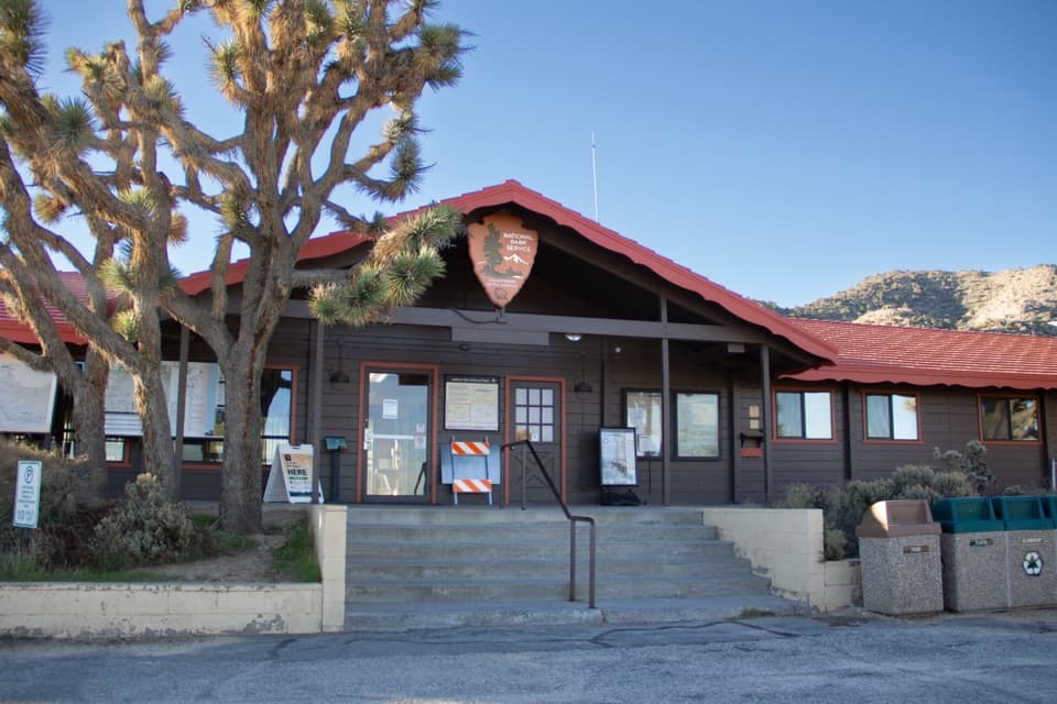
Park at Black Rock Canyon Campground on the west end or arrange pickup at the North Entrance near Twentynine Palms on the east; most parties set up a car shuttle before starting.

Caution

No natural water; cache at road crossings and carry ample reserves. Little to no shade, high heat risk, and sandy footing add effort. Navigation can be confusing in washes; carry a map/GPS. Cell service is unreliable—especially at endpoints.

The Parkwolf tour guide sitting on a phone mounted in a car

Parkwolf Tour Guide

Like a tour guide in your car.

Bring Joshua Tree trail research into the car, with offline maps and stories that play as you drive.Download Parkwolf on the App Store