Parking
Use the south-side Pinto Basin Road pullout at the Two Deserts (Silver Bell) roadside exhibit, about 2 miles west of Cholla Cactus Garden. This is a simple roadside pullout; parking capacity and amenities are not confirmed.
Joshua Tree National Park, CA
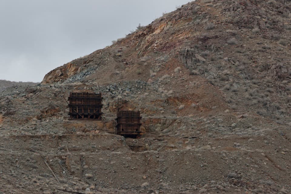
An informal climb to two weathered ore bins above Pinto Basin.
Overview
Map & elevation
Plan your hike

The highest, rockiest slopes around here are a summer buffet for grizzly bears.
Joshua Tree Tour Guide
Parkwolf is a GPS audio tour guide for Joshua Tree National Park. As you drive, it chimes in with what’s ahead: hidden gems, upcoming stops, history, geology, and wildlife, right through your car’s speakers.
See the Joshua Tree audio tourRecorded for this trailhead
Silver Bell Mine Viewpoint: Look High on the Slope“Silver Bell Mine Viewpoint is coming up on Pinto Basin Road. Stop for a distant look at two dark wooden ore bins high on the rocky slope.”
Plays as you drive up to this trailhead in the Parkwolf Joshua Tree Tour Guide.
More stories near here in the app
“Fantastic app with many points of information… It’s great to just turn on while you’re driving and it gives you an audio tour of the national Park. We love it!!!!”


Trail guide
This informal 1.4-mile out-and-back crosses open desert to two historic wooden ore bins on a rocky hillside. It is a worthwhile, unusual mining-history stop if you are comfortable navigating faint ground and climbing a steep, loose slope; allow about an hour. The stored route represents the shorter approach to the tipples, not the separate Silver Bell–El Dorado loop. Published estimates range from about 1.4 to 2 miles round trip, so check the route and distance before setting out.
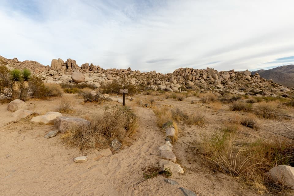
From the Pinto Basin Road pullout, the approach crosses open scrub and stony, nearly level ground. Accounts describe roughly half to three-quarters of a mile before the old track and hillside; there is no consistently clear, marked trail. The final climb is steep and rocky, with loose footing and cactus nearby. The route is fully exposed, and wayfinding is part of the effort.
Two weathered timber ore bins remain on the slope, with old mine workings nearby. Look from outside: do not enter shafts or adits or climb the historic structures, which may be unstable and can contain dangerous air. From the rise above the bins, the basin and surrounding desert open out; it is a good place to frame both structures against the landscape.
Silver Bell is one of roughly 300 mines once active in Joshua Tree. The name is misleading: accounts describe gold production in the 1930s, lead in the 1940s and copper in the 1950s, with little or no silver. The mine closed around 1962. At the roadside, the park marks a transition between the Mojave and Colorado deserts; creosote, desert lavender and bladderpod are among the shrubs in this area.
Wildlife
 129 sightingsBighorn SheepMost seen around 6 PMSighting map
 15 sightingsGolden EagleMost seen around 10 AMSighting map
 413 sightingsDesert TortoiseMost seen around 8 AMSighting map
 275 sightingsCoyoteMost seen around 6 AMSighting map
 47 sightingsBobcatMost seen around 6 PMSighting map
 32 sightingsMule DeerMost seen around 6 AMSighting map
Sighting maps show where each species has been reported across Joshua Tree. Wildlife moves, so no sighting is guaranteed.
Keep exploring
 EasyCholla Cactus Garden Nature Trail0.3 mi · 21 min · 1.9 mi awayA quarter-mile loop through thousands of teddy-bear cholla.
 EasyArch Rock Trail1.3 mi · 1 hr · 5.3 mi awayA short sandy walk ends at a sculpted granite arch.
 EasyDiscovery Trail0.7 mi · 36 min · 7.3 mi awayA short loop through washes, rock slots, and a desert overlook.
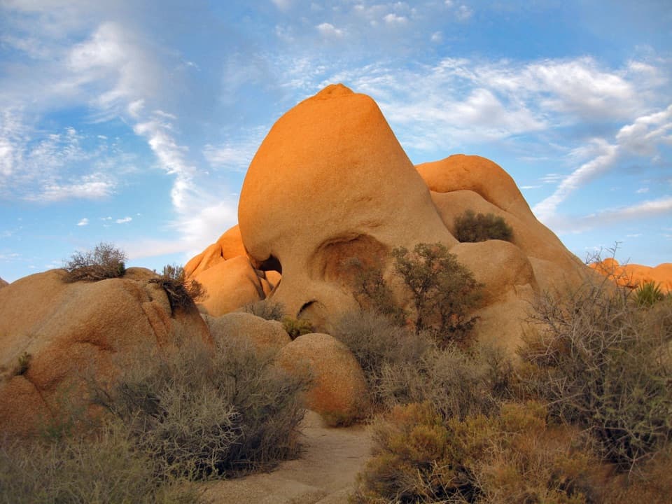 EasySkull Rock Nature Trail1.8 mi · 1.5 hr · 7.3 mi awayA short loop to a skull-shaped granite formation
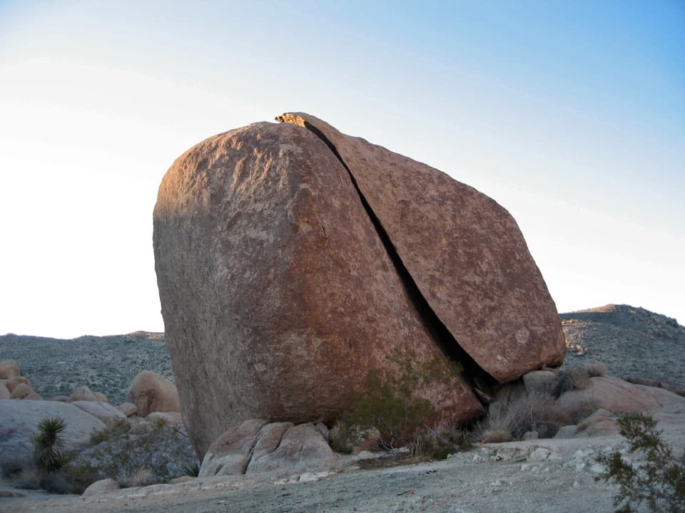 ModerateSplit Rock Loop Trail2.5 mi · 2 hr · 7.6 mi awayA short boulder loop with a Face Rock detour worth the turn.
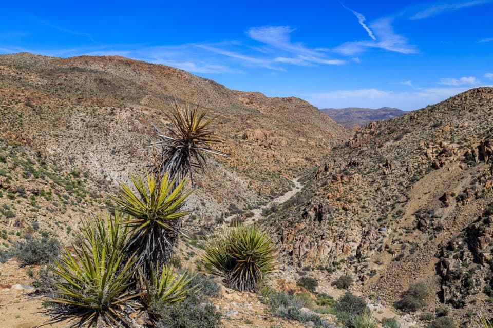 EasyLucky Boy Vista Trail2.5 mi · 1.5 hr · 9.2 mi awayAn easy desert walk to mine remains and a wide valley overlook.
 EasyLucky Boy Loop3.3 mi · 2.3 hr · 9.2 mi awayDesert views, old mine remains, and a final road stretch.
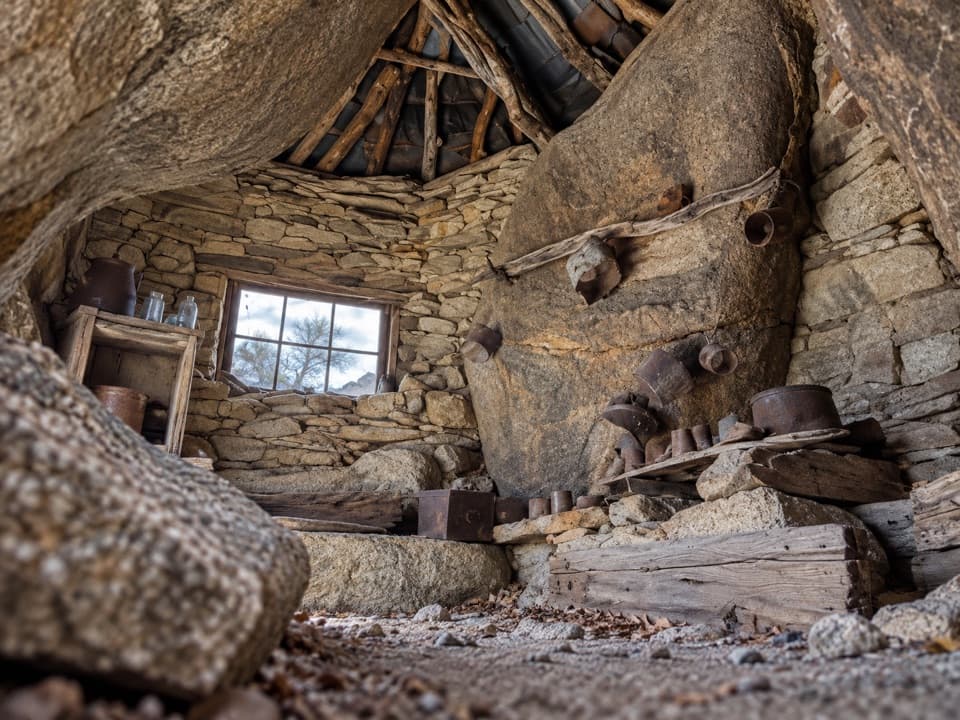 ChallengingEagle Cliff Mine Trail3.5 mi · 3 hr · 9.2 mi awayA hidden cabin in boulders, reached by a faint desert route
 Scenic pullout · At the trailheadSilver Bell Mine ViewpointLook for two old mine structures high on the rocky slope.
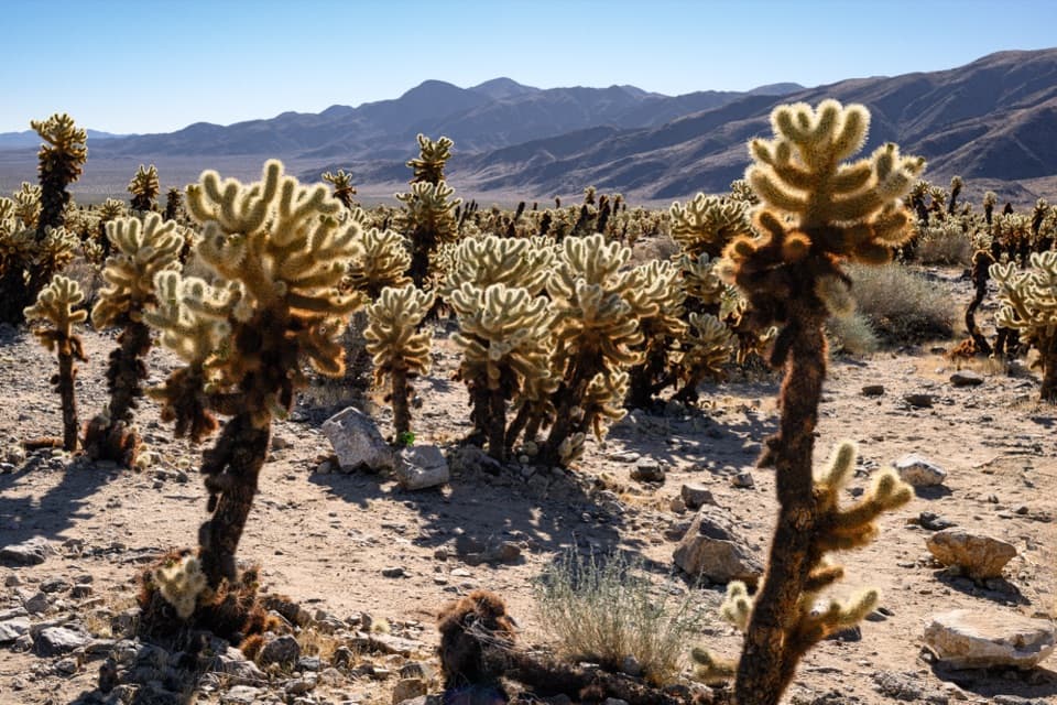 Sight · 1.8 mi awayCholla Cactus GardenA short, flat loop through nearly ten acres of cholla.
 Scenic pullout · 3.1 mi awayOcotillo PatchA spring roadside stop for ocotillo and valley views.
 Sight · 4.9 mi awayArch RockA natural arch tucked into a maze of sculpted desert boulders.
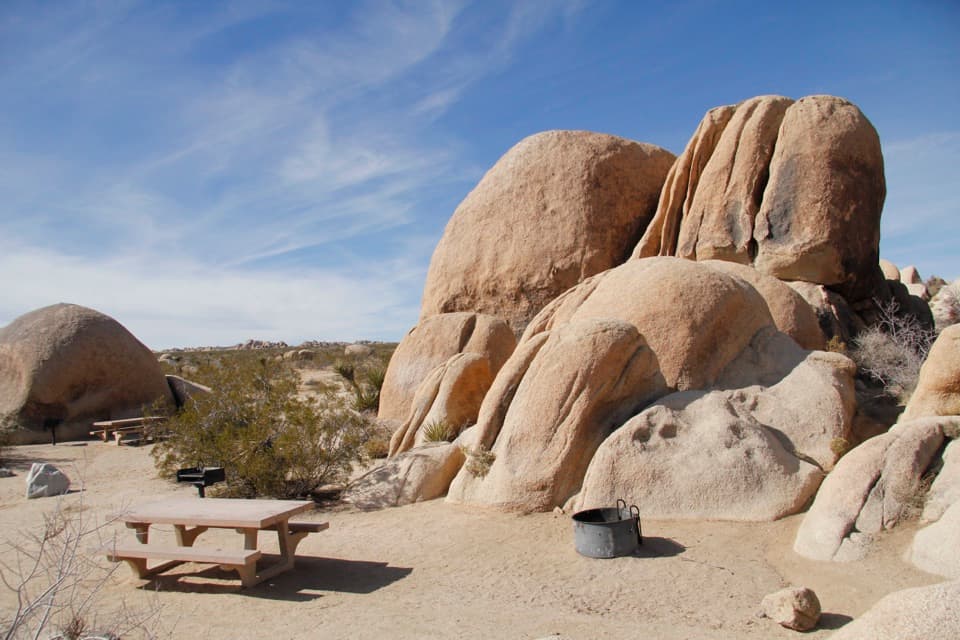 Campground · 4.9 mi awayWhite Tank CampgroundCamp among the boulders, with Arch Rock close at hand.
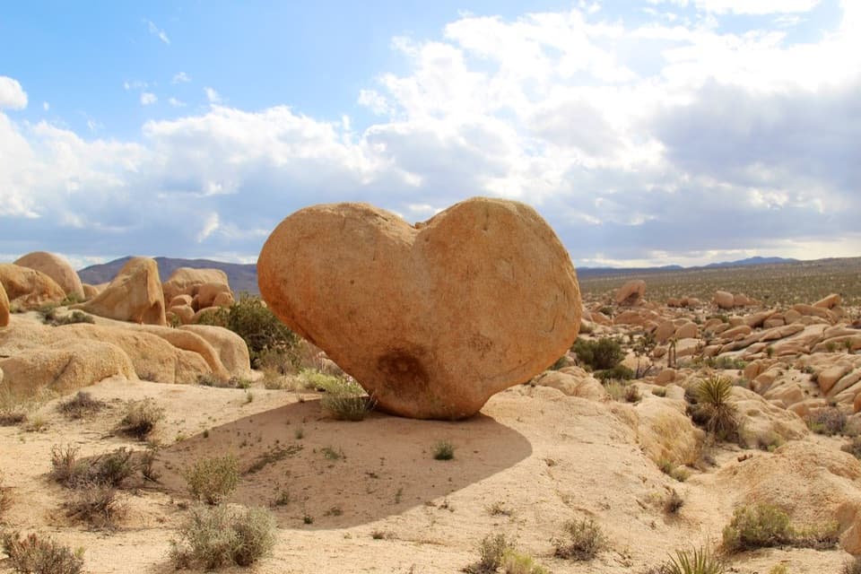 Sight · 4.9 mi awayHeart RockFind the angle that turns this granite boulder into a desert heart.
 Campground · 5.9 mi awayBelle CampgroundEighteen simple sites tucked among Joshua trees and granite boulders.
 Sight · 6.7 mi awayPaac Kü̱vü̱hü̱’kA vanished lake still writes its story across this desert.
Parkwolf’s Joshua Tree ranking

The audio tour guide for the drive, plus offline maps, trails, and wildlife heatmaps for when the signal drops.




