
All Kootenay places
29 places
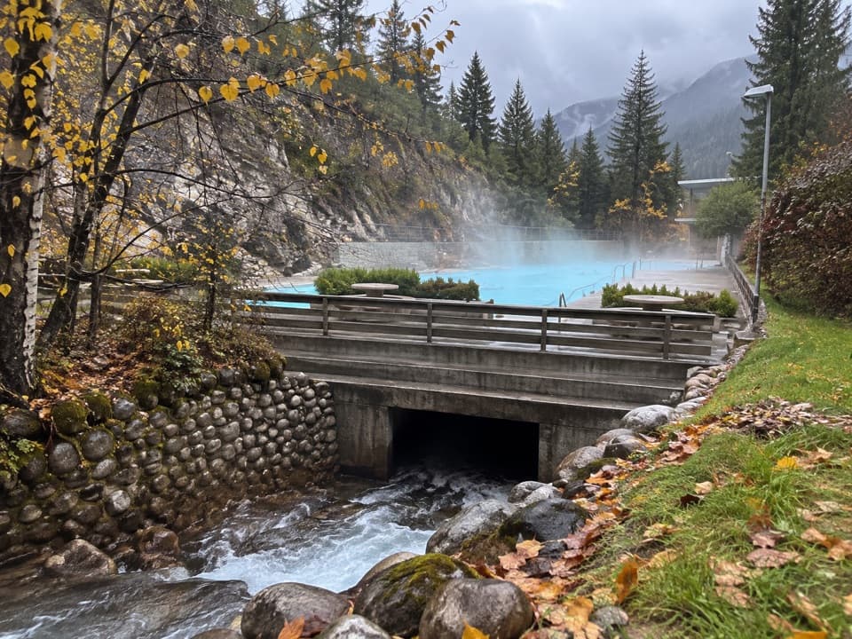 1Radium Hot SpringsA mineral soak and cool pool in a heritage canyon bathhouse.
 2Marble CanyonSeven bridges, blue water, and a waterfall on a short gorge walk.
 3Paint PotsThree iron-rich springs stain the ground a vivid ochre.
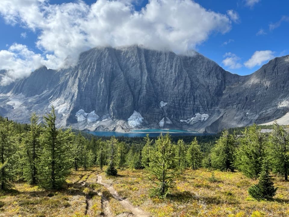 4Floe LakeA full-day climb to a turquoise lake under the Rockwall.
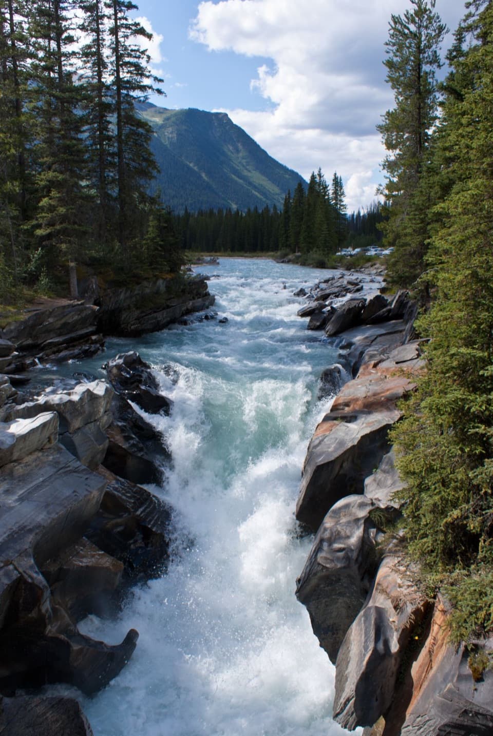 5Numa FallsA short bridge walk reveals the Vermilion's sculpted canyon.
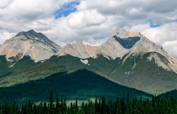
 6Kootenay Valley ViewpointA quick roadside panorama of the Mitchell and Vermilion ranges
 7Olive LakeBright green water makes this quick roadside walk worth the break.
 8Sinclair CanyonWatch Highway 93 thread the red cliffs at the southern gateway.
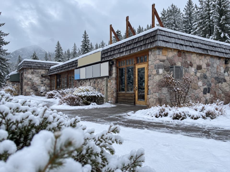 Kootenay National Park Visitor CentreHelpful park advice and local displays in Radium Hot Springs.
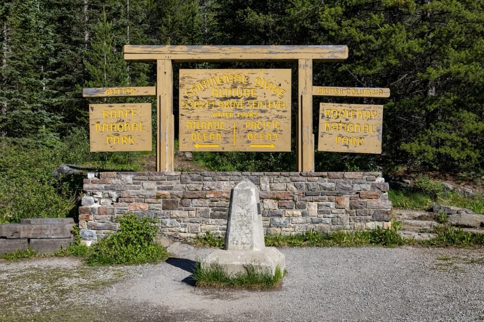 9Continental DivideStand on the divide between the Pacific and Atlantic watersheds.
 10Stanley GlacierWaterfalls and a turquoise crossing lead to a glacier basin.
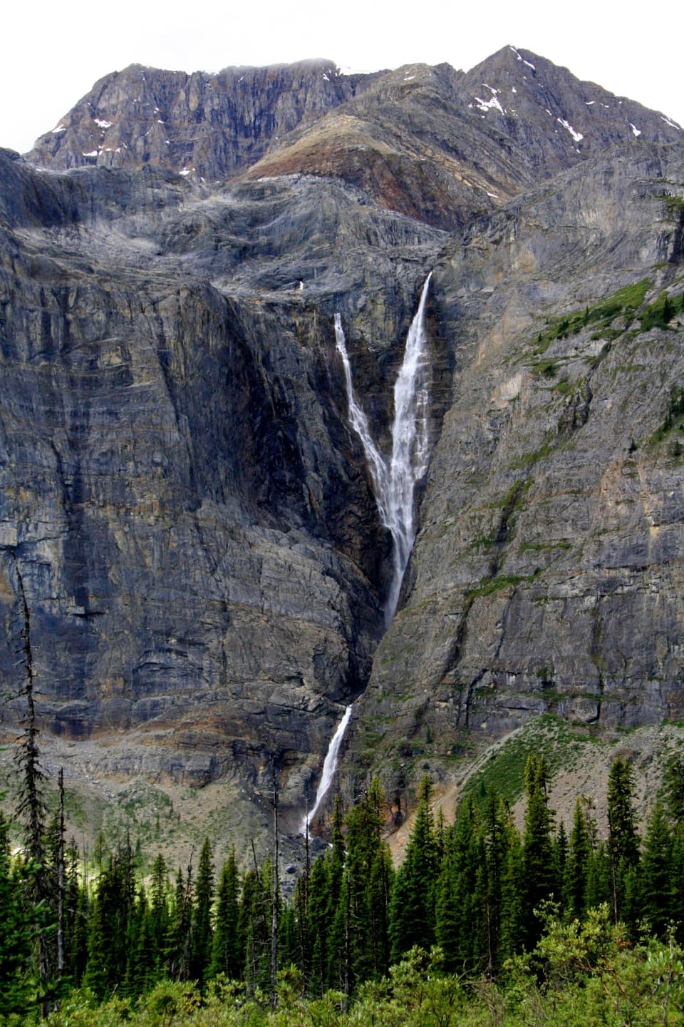 11Helmet FallsA 300 m waterfall at the end of a 14.2 km hike.
 Redstreak CampgroundDeveloped base with showers, trail access, tents and oTENTiks.
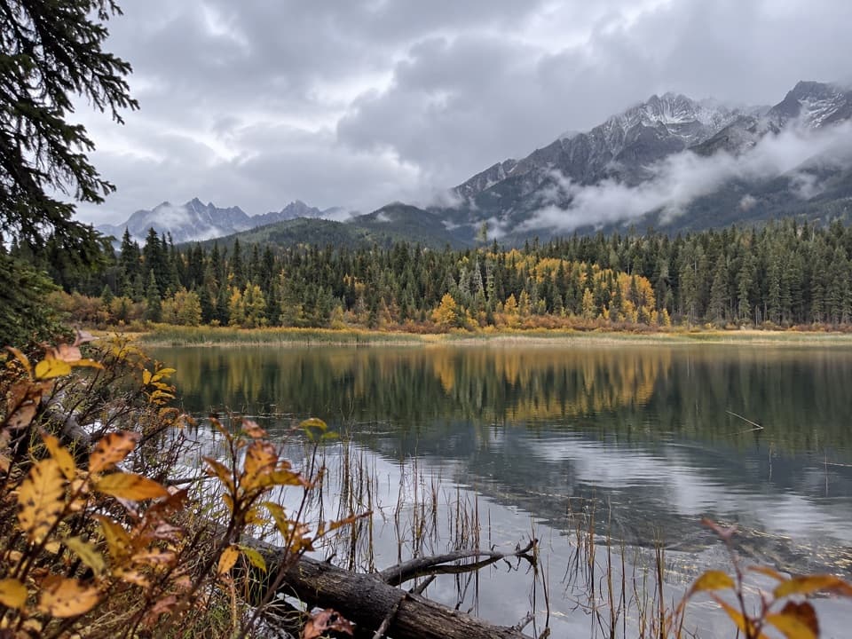 12Dog LakeTwo river bridges lead through old-growth forest to a mountain lake.
 Dolly Varden Day-use AreaA picnic stop with a close-up lesson in wildlife crossings.
 Vermilion Crossing Day-use AreaA picnic break beside the Vermilion River
 Kootenay River Day-use AreaA riverside picnic stop along Highway 93 South
 McLeod Meadows CampgroundUnserviced camping beside the Kootenay River.
 13Cobb LakeA forest-fringed lake at the end of a two-hour walk.
 Marble Canyon CampgroundA basic campground in a spruce forest with no cell signal.
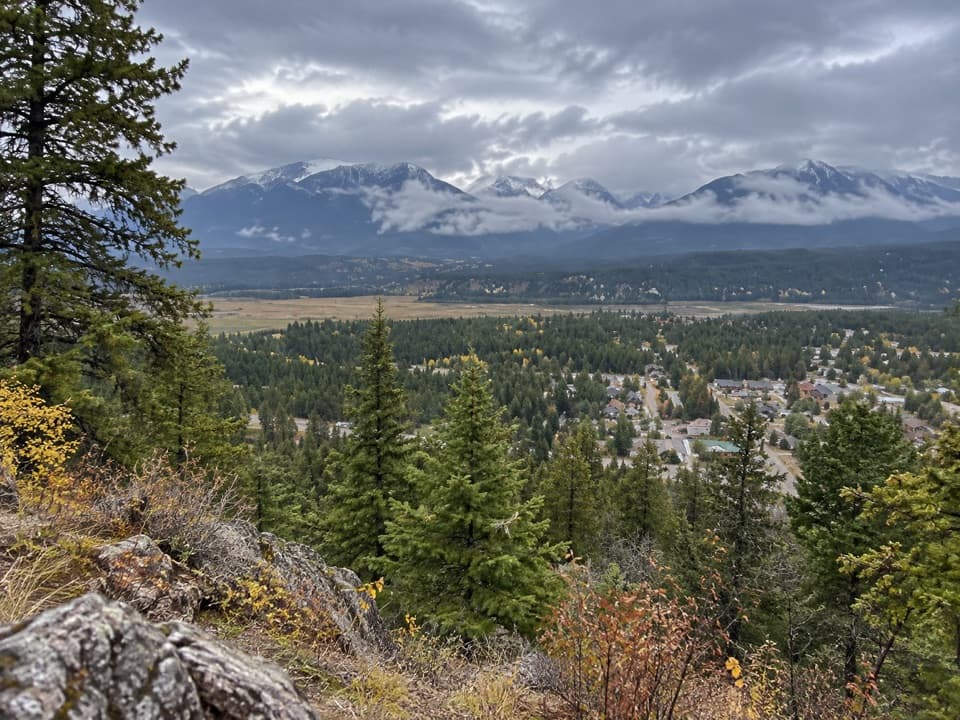 14Redstreak Road LookoutA quick town view on the road up to Redstreak Campground.
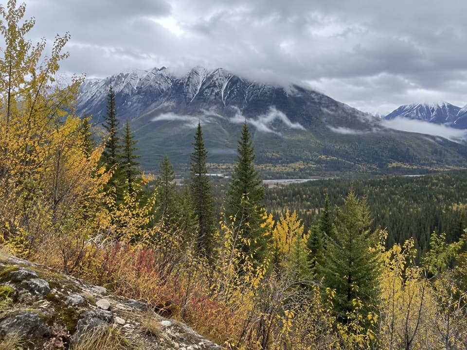 15Hector Gorge ViewpointA roadside view over the Kootenay River gorge.
 Sir George Simpson MonumentA quick river-view break with a Hudson’s Bay Company story.
 Floe Lake CampgroundA lakeside backcountry camp at the southern end of the Rockwall.
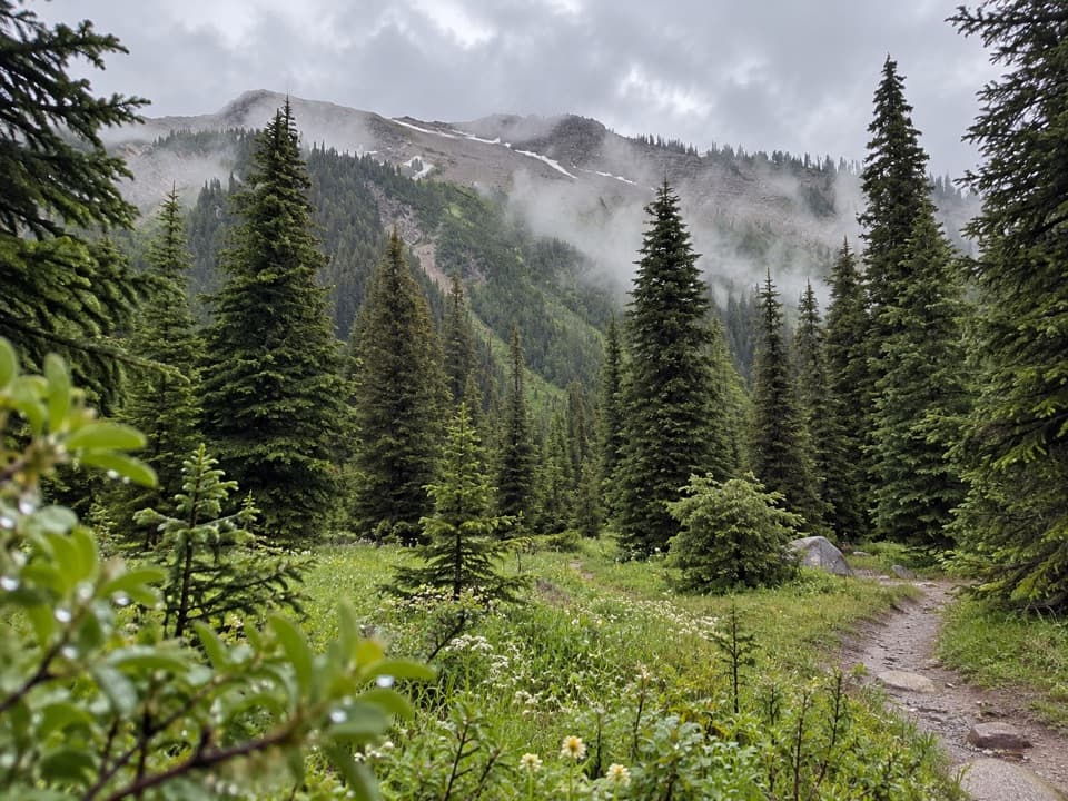 Tumbling Creek CampgroundA useful northern camp for a full Rockwall backpacking traverse.
 Helmet Falls CampgroundA remote tent camp with Helmet Falls in view.
 McLeod Meadows Day-use AreaA cool, shaded picnic break at the Dog Lake trailhead.
 Numa Creek CampgroundA backcountry campground on the 54.1-km Rockwall Trail.
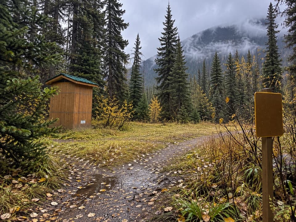 Helmet / Ochre Junction CampgroundA creekside backcountry camp at the Rockwall trail junction.

The highest, rockiest slopes around here are a summer buffet for grizzly bears.
Kootenay Tour Guide
Kootenay, narrated.
Parkwolf is a GPS audio tour guide for Kootenay National Park. As you drive, it chimes in with what’s ahead: hidden gems, upcoming stops, history, geology, and wildlife, right through your car’s speakers.
See the Kootenay audio tourRecorded for this place
Radium Hot Springs: A Soak in the Canyon0:00 / 0:29
“You're approaching Radium Hot Springs, where you can swap the car seat for a warm mineral pool in Sinclair Canyon.”
Plays as you drive up to Radium Hot Springs in the Parkwolf Kootenay Tour Guide.
More stories near here in the app
- Sinclair Canyon: Through the Red Cliffs
- Redstreak Campground: A Base Above Radium
- Who Moves Into a Woodpecker Hole?
- Redstreak Road Lookout: Radium and the Valley
- 49 audio storiesacross Kootenay’s roads, triggered by GPS as you drive
- Wildlife heatmapsfor Grizzly Bear, Gray Wolf, Moose, and 13 more
- Works offlinemaps, 38 trails, 29 places, and audio download before you lose signal
- CarPlay readysimple controls built for the drive
“Fantastic app with many points of information… It’s great to just turn on while you’re driving and it gives you an audio tour of the national Park. We love it!!!!”

