Parking
Use the informal free roadside or lay-by parking at Newlands Hause on Newlands Pass. The small space can fill, and the pass is narrow and winding, so arrive early and park without blocking the road or access.
Lake District National Park, EN
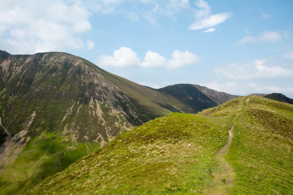
Short grassy ridge above Newlands with wide Buttermere and valley views
Overview
An out-and-back ridge walk from the informal parking area at Newlands Hause, on the Newlands Pass. The stated distance of 3.5 miles (5.6 km) is the full round trip, with roughly 368 m (about 1,200 ft) of ascent. Most walkers take around 2.5 hours; a fast, direct pace can complete it in about 1 hour 45 minutes. Difficulty is a practical 5 out of 10: no stiles and no scrambling, but a steep start and rough, sometimes soft ground.
Map & elevation
Plan your hike

The highest, rockiest slopes around here are a summer buffet for grizzly bears.
Lake District Tour Guide
Parkwolf is a GPS audio tour guide for Lake District National Park. As you drive, it chimes in with what’s ahead: hidden gems, upcoming stops, history, geology, and wildlife, right through your car’s speakers.
Recorded for this trailhead
Newlands Hause: Knott Rigg and Ard Crags“Newlands Hause is coming up, the starting point for a quieter ridge walk over Knott Rigg and Ard Crags.”
Plays as you drive up to this trailhead in the Parkwolf Lake District Tour Guide.
More stories near here in the app
“Fantastic app with many points of information… It’s great to just turn on while you’re driving and it gives you an audio tour of the national Park. We love it!!!!”


Trail guide
A path can skirt Knott Rigg on the way back, but the described walk goes over the summit in both directions.
The climb begins immediately and puts most of the hard work in the opening stretch, without technical difficulty. After that the ridge rolls gently. The ground is rough underfoot, boggy in places, and the track becomes indistinct on parts of the crest, so basic map reading is genuinely useful in poor visibility. There is a fenced bog hole between Ill Crag and Ard Crags, which is a hazard rather than a water stop. Carry all the water you need, since there is little dependable water on the ridge.
Moss Force is in view on the initial climb and again on the descent, so the return leg keeps something to look at. From the crest the ground opens out over Newlands Valley, Buttermere and Crummock Water, Causey Pike and Robinson, with the wider North Western Fells beyond. Ard Crags holds the broader panorama, while Knott Rigg is the quieter summit. Early morning and late afternoon light give the strongest shape to the valley sides, and the waterfall sits best in frame on the outward climb.
The ridge stays noticeably quieter than Catbells or Rannerdale Knotts, which is a large part of its appeal. Some visitors rate it harder than the mileage suggests, mainly because of the steep opening pull and the rough ground, so plan by time rather than distance.
Access is informal free roadside or lay-by space near Newlands Hause, with the path starting about 20 m from the parking area. The small space can fill, and Newlands Pass is narrow and winding, so arrive early and drive with care. No permit is required. Dogs are welcome, but sheep graze the ridge, so keep dogs on a lead. Steep gradients and rough, uneven ground make this unsuitable for wheels of any kind.
Wildlife
 81 sightingsRed DeerMost seen around 7 PMSighting map
 13 sightingsEurasian OtterMost seen around 6 AMSighting map
 76 sightingsOspreyMost seen around 8 AMSighting map
 51 sightingsEuropean BadgerMost seen around 8 PMSighting map
 233 sightingsMute SwanMost seen around 6 PMSighting map
 176 sightingsGrey HeronMost seen around 7 AMSighting map
Sighting maps show where each species has been reported across Lake District. Wildlife moves, so no sighting is guaranteed.
Keep exploring
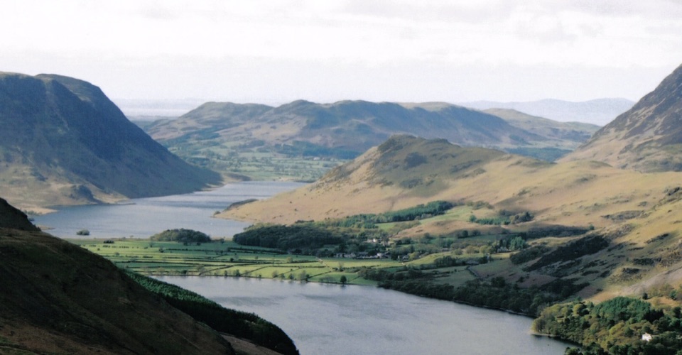 ModerateRannerdale Knotts5.1 km · 2.5 hr · 1.9 km awayA short steep climb to a rocky ridge above Crummock Water
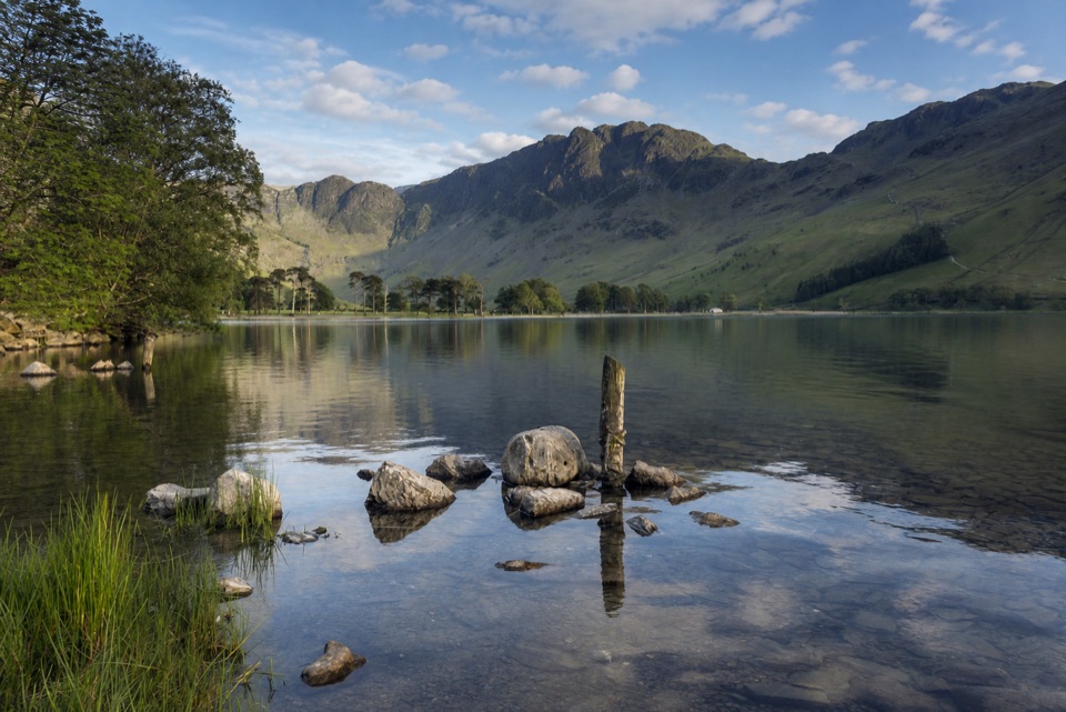 ModerateButtermere Lakeshore3.7 km · 1.5 hr · 1.9 km awayLakeshore views, woodland, rough ground, and a practical bus return
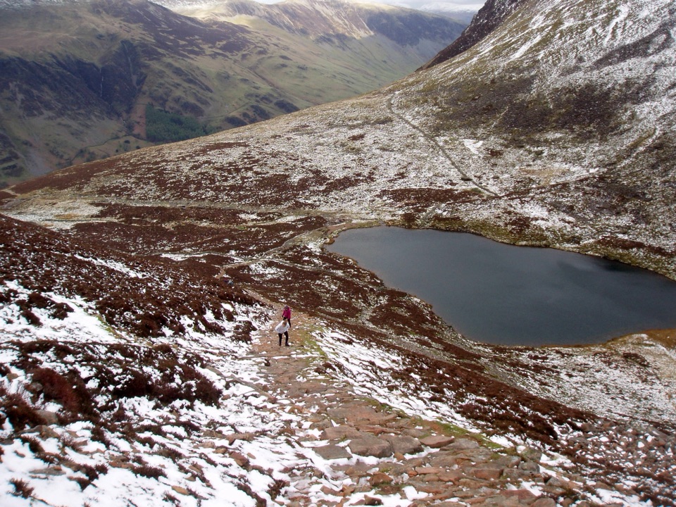 ChallengingBleaberry Tarn, Red Pike and Dodd7.2 km · 4 hr · 1.9 km awayCorrie tarn, loose red scree, two summits above Buttermere
 EasyButtermere Circular7.6 km · 3 hr · 1.9 km awayLevel shore loop under high fells, through woodland and a rock tunnel
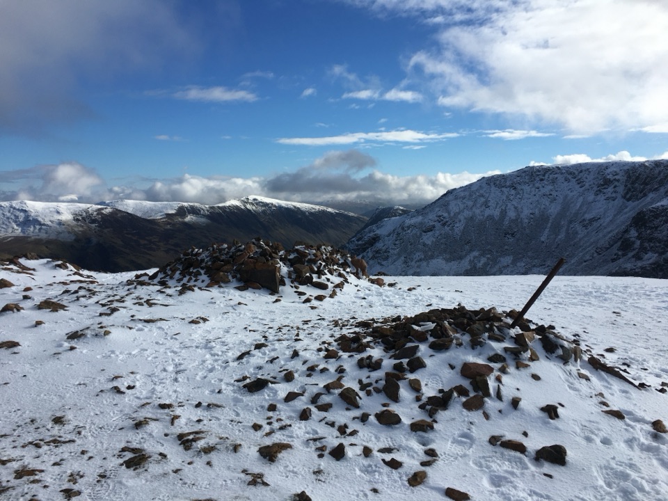 ChallengingThe Buttermere Edge13.5 km · 5.5 hr · 1.9 km awayStone-pitched climb to a rocky ridge above Ennerdale and Crummock Water
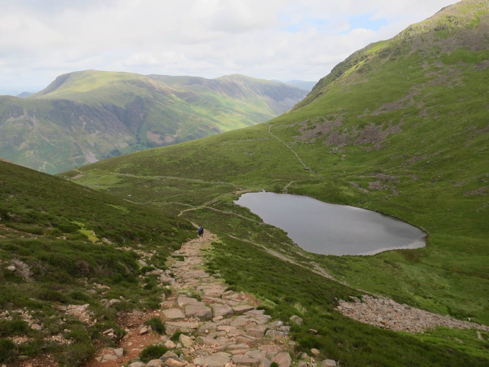 ModerateBleaberry Tarn above Buttermere5 km · 2 hr · 1.9 km awayA steep stone staircase to a quiet tarn beneath mountain crags
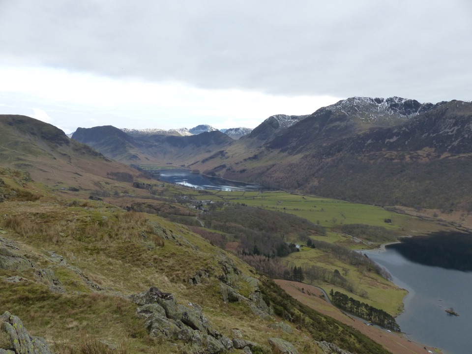 ModerateButtermere to Rannerdale Walk4.8 km · 2 hr · 2 km awayShort steep climb to a ridge above Buttermere and Crummock Water
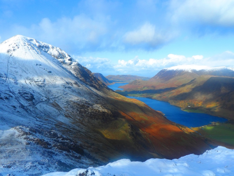 ChallengingFleetwith Pike and Haystacks12.3 km · 4.5 hr · 2.6 km awayHidden tarns, quarry ruins and two summits high above Buttermere
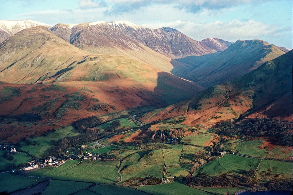 Sight · 1.9 km awayButtermere VillageA tiny hamlet framed by lakes, farms, and dramatic western fells
 Sight · 2.2 km awayButtermereA calm mountain lake ringed by high fells and an easy circuit
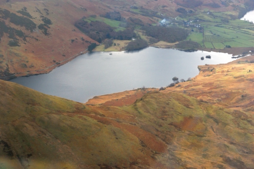 Sight · 3.6 km awayCrummock WaterA clear lake beneath an amphitheater of rugged western fells
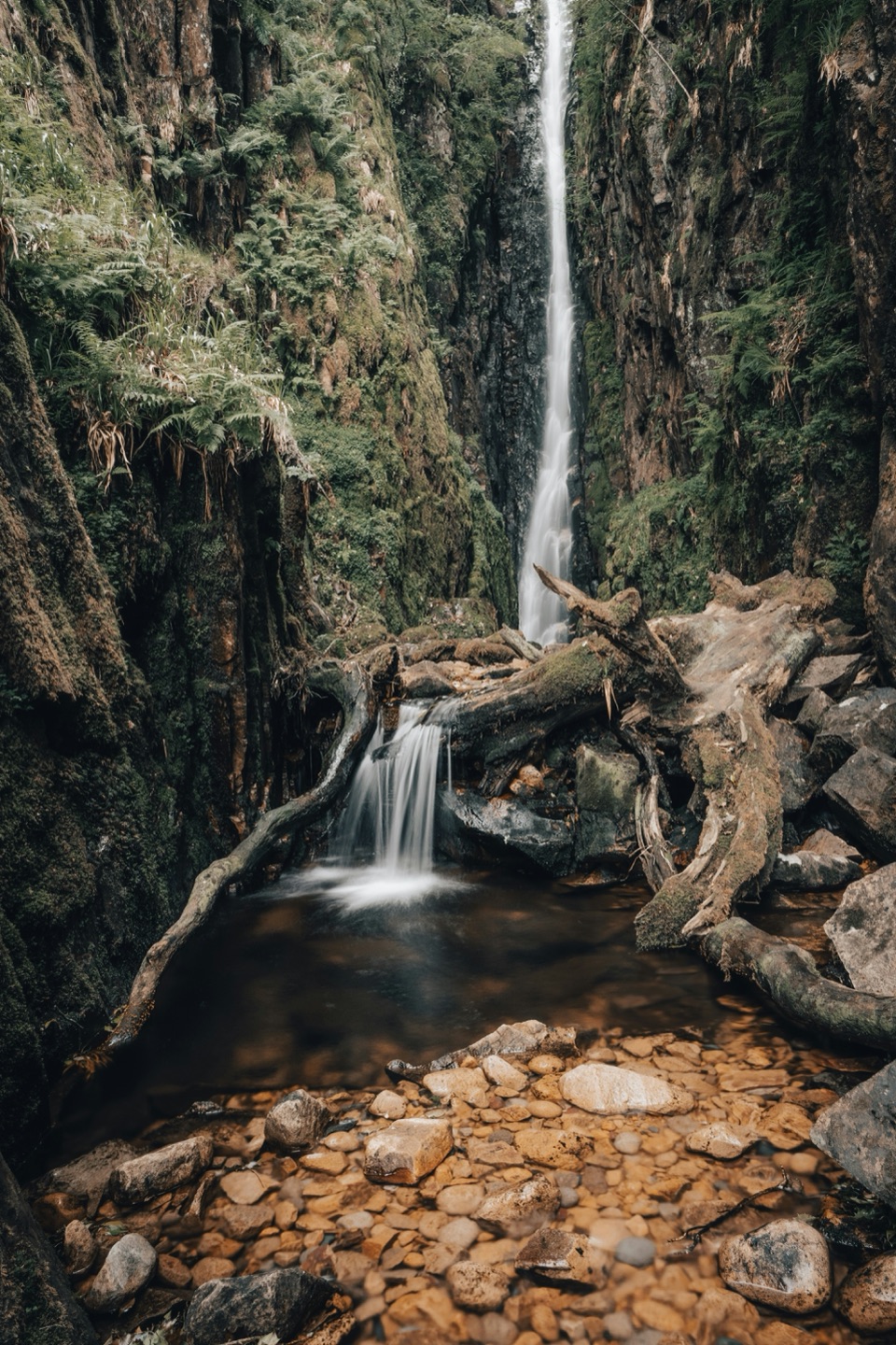 Sight · 4.3 km awayScale ForceThe Lakes' tallest single drop thunders through a mossy gorge
 Sight · 5.2 km awayHonister Slate MineExplore England's last working slate mine beneath a mountain pass
 Sight · 5.6 km awayCat BellsA short rocky climb to a huge Derwentwater panorama
 Sight · 6.2 km awayThe Bowder StoneA 2,000-tonne boulder balanced above a woodland path
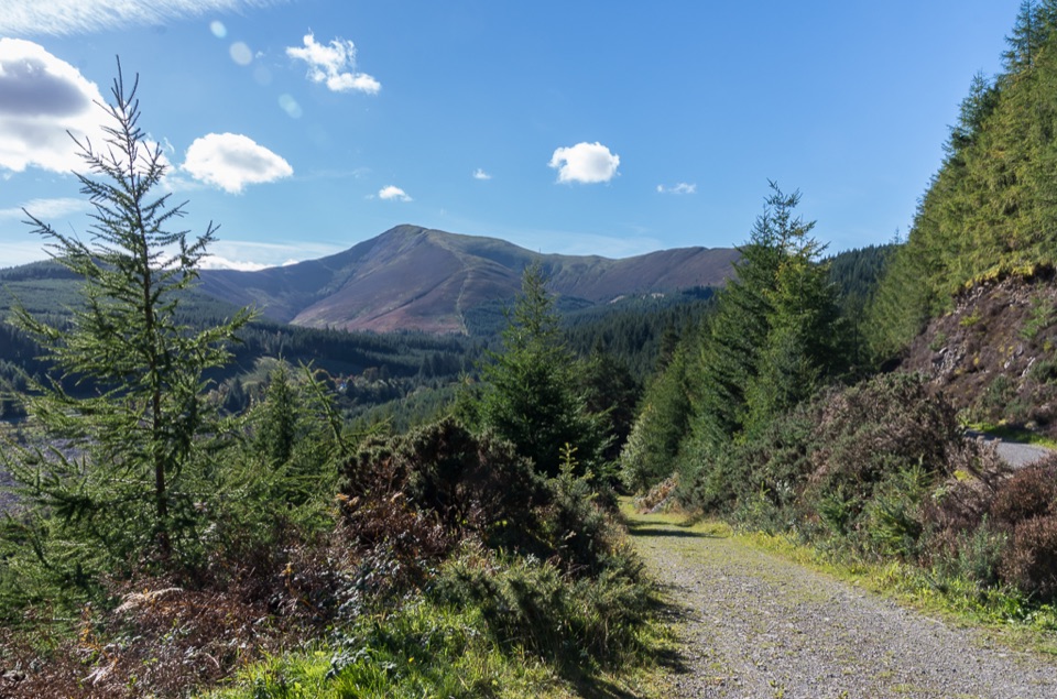 Sight · 7 km awayWhinlatter ForestMountain trails, big fell views, and family paths in a working forest
Parkwolf’s Lake District ranking

The audio tour guide for the drive, plus offline maps, trails, and wildlife heatmaps for when the signal drops.




