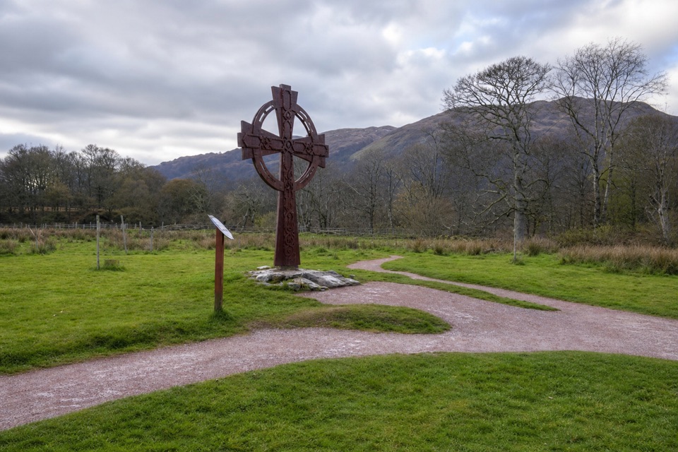
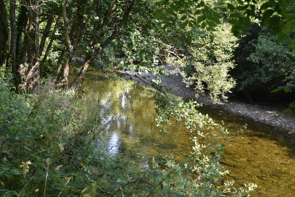
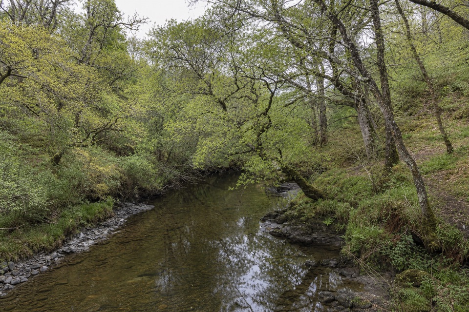
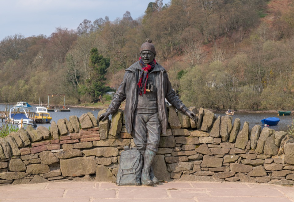
Inchcailloch in Loch Lomond & The Trossachs National Park

#8 of 41 sights in Loch Lomond & The Trossachs

Sight · Loch Lomond & The Trossachs National Park

Inchcailloch

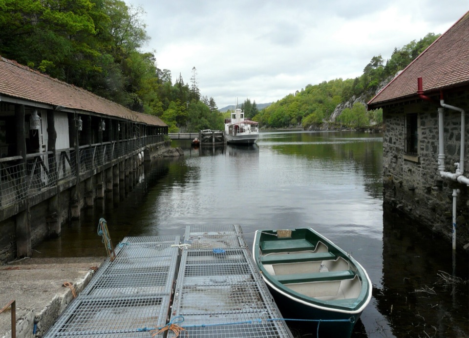
A boat-access island of bluebells, woodland paths, and big loch views.

Photo: Wikimedia Commons
Type
Sight
Nearest trail
0.4 km
Audio stories
3 nearby
  • Scenic viewpoint
  • Picnic tables
  • Restrooms
  • Campground

Hear the audio tour

Balmaha and Inchcailloch

Overview

About Inchcailloch

Why stop

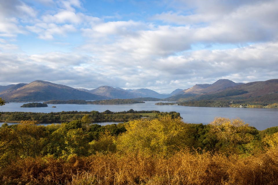
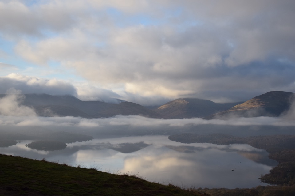
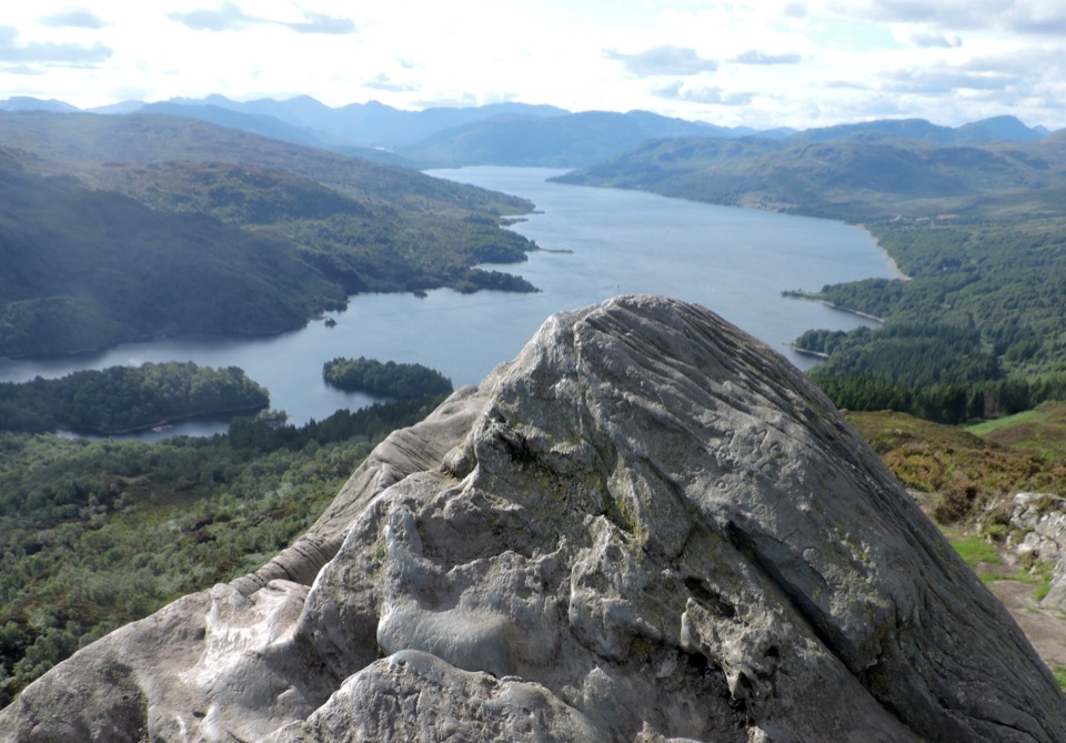
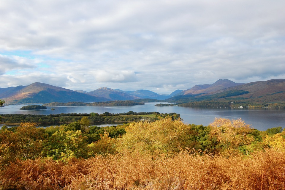
  • Summit panorama toward Ben Lomond and Loch Lomond's wooded islands
  • Woodland, shoreline and heritage in one compact visit

Heads up

  • Boat access depends on weather and operator service
  • No drinking water or on-island food service

Map

Where it is

Loading the Loch Lomond & The Trossachs map
Full map
SightInchcailloch56.07812, -4.55642
Keep this map with you offline in the Parkwolf app

Plan your stop

Before you go

4 active Loch Lomond & The Trossachs alerts

  • CautionLoch Lomond navigation-aid defectsMentions Loch Lomond, referenced in this guideSeveral navigation aids and hazard marks on Loch Lomond are off station or have lighting discrepancies; boaters should account for them when navigating.Official details
  • CautionA82 restriction near Kings House HotelThe A82 is restricted in both directions near Kings House Hotel, Glencoe, because of planned roadworks. - Temporary traffic lights are in place; follow the traffic management.Official details
See all 4 alerts
A park ranger sits on a dash-mounted phone, talking, as Parkwolf’s Tour Guide plays “Army Cutworm Moths: A Grizzly Bear Buffet” on Grand Loop Road below Dunraven Pass in Yellowstone
Parkwolf Tour GuideThe highest, rockiest slopes around here are a summer buffet for grizzly bears.

Loch Lomond & The Trossachs Tour Guide

Your drive to Inchcailloch, narrated.

Parkwolf is a GPS audio tour guide for Loch Lomond & The Trossachs National Park. As you drive, it chimes in with what’s ahead: hidden gems, upcoming stops, history, geology, and wildlife, right through your car’s speakers.

Recorded for this place

Balmaha and Inchcailloch
0:00 / 0:33
“You're approaching Balmaha, the village departure point for boats to Inchcailloch across Loch Lomond. I'd choose the island if you want a boat ride, quiet woodland and a hilltop view in one half-day.”

Plays as you drive up to Inchcailloch in the Parkwolf Loch Lomond & The Trossachs Tour Guide.

More stories near here in the app

  • Milarrochy Bay and Its Lone Oak
  • Conic Hill from Balmaha
  • A Forest in the Making
  • RSPB Loch Lomond Nature Hub
  • 196 audio storiesacross Loch Lomond & The Trossachs’s roads, triggered by GPS as you drive
  • Wildlife heatmapsfor Golden Eagle, Red Deer, Mute Swan, and 13 more
  • Works offlinemaps, 93 trails, 73 places, and audio download before you lose signal
  • CarPlay readysimple controls built for the drive
★★★★★
“Fantastic app with many points of information… It’s great to just turn on while you’re driving and it gives you an audio tour of the national Park. We love it!!!!”
JMJamesApp Store review
Download Parkwolf on the App StoreGet Parkwolf on Google Play

4.7 from 8,600+ ratings

Guide

More about Inchcailloch

A small island with a proper day outInchcailloch is a 50-hectare wooded island at the south-east end of Loch Lomond, part of the…

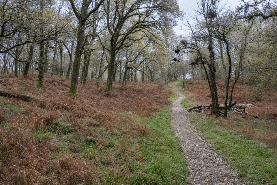
Inchcailloch is a 50-hectare wooded island at the south-east end of Loch Lomond, part of the Loch Lomond National Nature Reserve. The visit is a short boat trip followed by woodland paths, a hilltop viewpoint and time beside the water at Port Bawn. Make the crossing if you want a quiet, varied half-day rather than another roadside viewpoint. You get nature, history and a big loch panorama in one compact place, but the island is deliberately basic: there is no road, shop or café waiting at the far side.

Choose your routeLand at the north pier and follow the central path through the trees towards Port Bawn.

Land at the north pier and follow the central path through the trees towards Port Bawn. It takes about 20 minutes and is the straightforward way to reach the island's picnic area and shore. The Low Path makes a gentler woodland circuit, with slopes and steps, while the Summit Path climbs more steeply to Tom na Nigheanan, the island's 85-metre high point. The summit section is short, but it is not a flat stroll; allow time for the climb and take care on the steps.

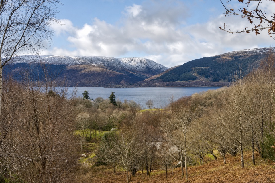
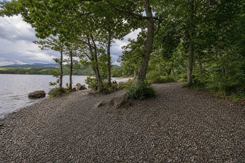
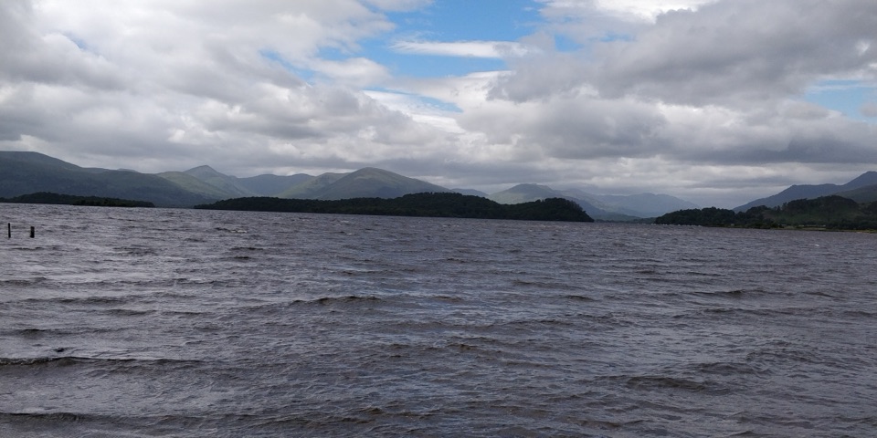
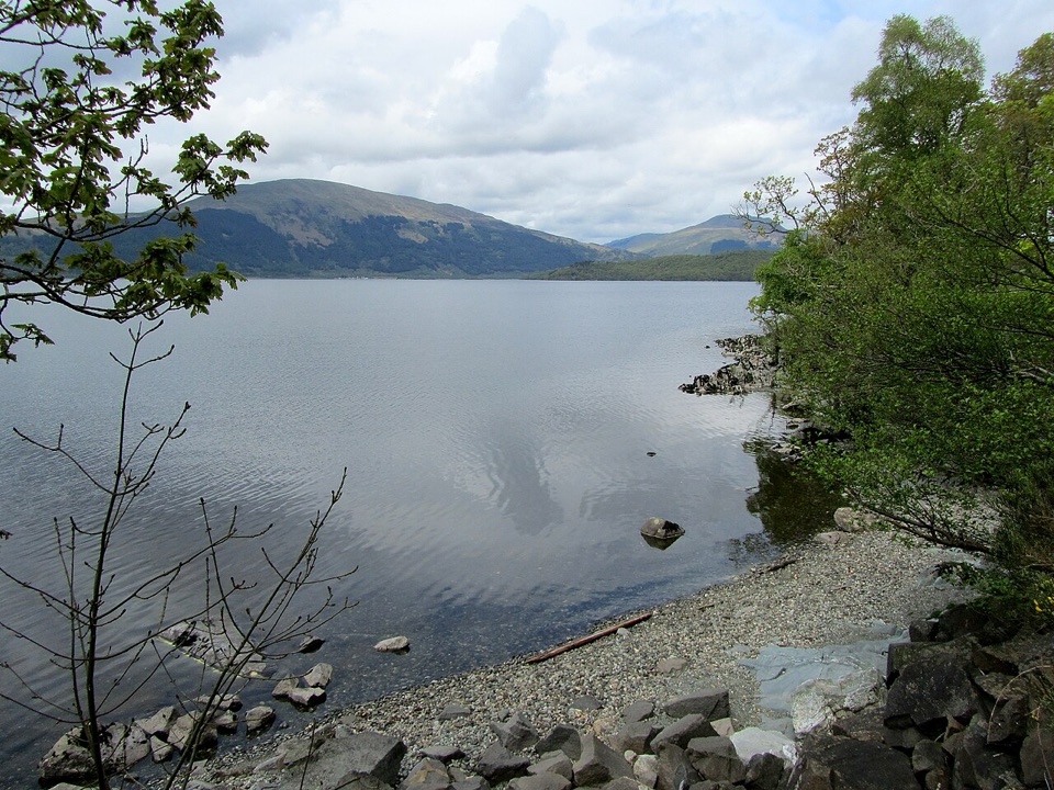
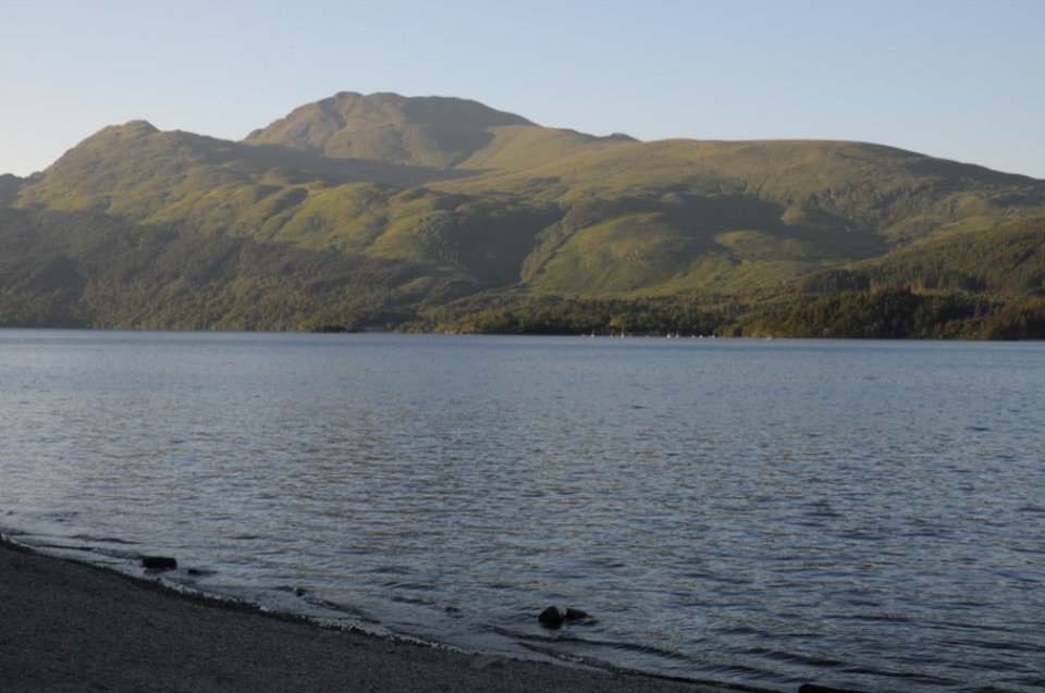
At the top, the view opens north along Loch Lomond towards Ben Lomond and the Highlands, with the loch's wooded islands spread below. Port Bawn gives you a different kind of stop: a jetty, shoreline, picnic tables, barbecue stands and a small campsite. For the best landscape photograph, shoot from the summit with the island canopy in the foreground and the loch and mountains beyond. In spring, bluebells add a particularly good reason to walk slowly through the woods; autumn colour and migrating wildfowl give the island a different character later in the year.

An island with a long memoryThe name is usually explained as “island of the old woman” or “island of the cowled woman”, and…

The name is usually explained as “island of the old woman” or “island of the cowled woman”, and its story is linked with St Kentigerna, who is said to have settled here in the early medieval period. The ruined church and burial ground are the island's most important historical stop, with connections to St Kentigerna and Clan MacGregor. They are protected as a Scheduled Ancient Monument. Along the Low Path, farm remains recall the time when people lived and worked here; later tree planting changed the island into the wooded place you see now.

That mix is what makes Inchcailloch worth the boat fare: you are not choosing between a walk, a beach and a heritage site. They are all part of the same small island, and none needs a long expedition once you arrive.

Make the crossing workReach the island by boat from Balmaha or by waterbus from Luss.

Reach the island by boat from Balmaha or by waterbus from Luss. Services are operator-dependent and seasonal, so check the current sailing arrangements before setting out and leave enough time for the return crossing. There is no parking on the island. Bring your own food and drinking water: the island has compost toilets, but no running water or drinking-water supply, and there is no on-island food service. Picnic tables are first-come, first-served, and there is no refuse collection, so take everything back with you. The landing and paths include steps and slopes, making this a poor fit for anyone who needs step-free access. If you camp at Port Bawn, plan for a basic stay rather than a serviced one, and check for ticks after walking through the woodland.

Wildlife

Wildlife in Loch Lomond & The Trossachs

All Loch Lomond & The Trossachs wildlife maps

Sighting maps show where each species has been reported across Loch Lomond & The Trossachs. Wildlife moves, so no sighting is guaranteed.

Keep exploring

Near Inchcailloch

See it all on the map

Trails nearby

More stops nearby

Parkwolf’s Loch Lomond & The Trossachs ranking

Top sights in Loch Lomond & The Trossachs

All 73 places
  1. 1Ben LomondSight
  2. 2Trossachs PierSight
  3. 3Conic HillSight
  4. 4Falls of DochartSight
  5. 5Ben A’anSight
  6. 6Bracklinn FallsSight

Take Parkwolf to Loch Lomond & The Trossachs.

The audio tour guide for the drive, plus offline maps, trails, and wildlife heatmaps for when the signal drops.

4.7 from 8,600+ ratings

Download Parkwolf on the App StoreGet Parkwolf on Google Play