Parking
No road access at either end. Reach Upper Travers Hut on foot through the Travers Valley, and continue on foot from West Sabine Hut along the Sabine Valley routes.
Nelson Lakes National Park, TM
An alpine pass links two remote valleys in one demanding day.
Overview
Map & elevation
Plan your hike

The highest, rockiest slopes around here are a summer buffet for grizzly bears.
Nelson Lakes Tour Guide
Parkwolf is a GPS audio tour guide for Nelson Lakes National Park. As you drive, it chimes in with what’s ahead: hidden gems, upcoming stops, history, geology, and wildlife, right through your car’s speakers.
“Fantastic app with many points of information… It’s great to just turn on while you’re driving and it gives you an audio tour of the national Park. We love it!!!!”


Trail guide
Poukirikiri/Travers Saddle Route is an 8.4 km point-to-point stage from Upper Travers Hut to West Sabine Hut, crossing the alpine saddle between the Travers and Sabine valleys. The official time is 6 to 9 hours depending on weather and snow. This is an expert alpine day with an unformed route and a very steep descent, so plan a full day. The hut-to-hut direction from the Travers side is the easier way across the pass. The 8.4 km is the one-way stage, not the roughly 80 km Travers-Sabine Circuit.
Neither end is road-accessible. Reach Upper Travers Hut on foot through the Travers Valley, then continue from West Sabine Hut along the Sabine Valley tracks; this is not a roadside out-and-back. Upper Travers has 24 bunks and West Sabine 30; DOC requires bookings at both. Their tap water is untreated, so boil it before drinking. No food service is listed, so carry food for the crossing. Dogs and other pets are prohibited in the national park; certified disability assist dogs are the exception under DOC rules.
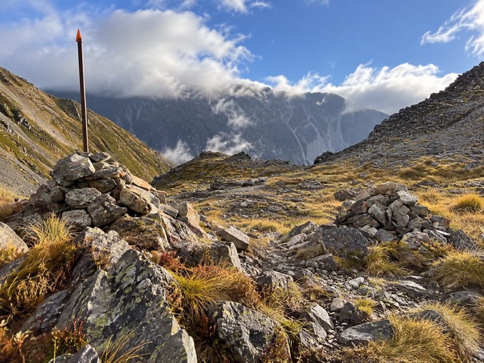
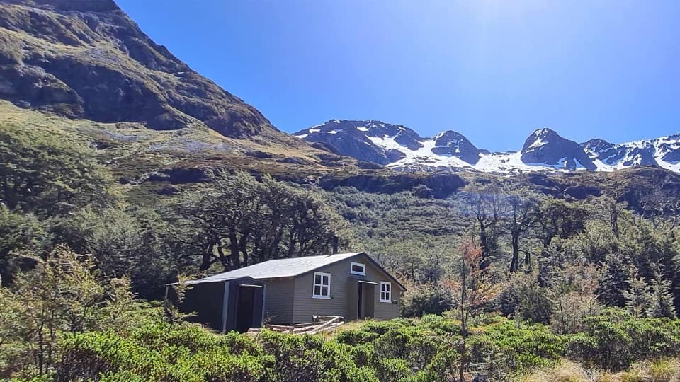
At the hut the formed track gives way to a pole-marked route. Cross the Travers River near the hut, then follow poles through dense alpine shrubs and a boulder-strewn valley. The climb steepens into zigzags across scree and eases as the saddle approaches. The pass is about 450 m above Upper Travers Hut and roughly an hour and a half from it. It has panoramic views into both valleys; frame a cairn and the tall snow pole against the ridges to show the scale of the pass.
From the saddle, the descent is steep across tussock and scree, then briefly enters stunted beech before dropping through a steep gully on zigzags. The formed track resumes at the valley floor. About ten minutes farther on, a bridge crosses the deep East Branch Sabine chasm; the track sidles around its edge, descends to the West Branch valley and heads upstream to West Sabine Hut. The Sabine forks lie about 1,000 m below the saddle, so expect sustained downhill and rough footing through the gully.
October to May is generally the most favorable period, but snow can persist into late November in some years and freezing conditions are possible in any season. DOC says ice axes and crampons are needed in winter and well into spring, and identifies the Sabine side as particularly avalanche-exposed. Check current avalanche advice before setting out, carry the equipment required for the conditions, and do not stop between marked avalanche paths.
Wildlife
 20 sightingsNew Zealand FalconMost seen around 9 AMSighting map
 39 sightingsWekaMost seen around 7 AMSighting map
 11 sightingsKererūMost seen around 9 AMSighting map
 55 sightingsBlack SwanMost seen around 8 AMSighting map
 23 sightingsParadise ShelduckMost seen around 6 AMSighting map
 17 sightingsTūīMost seen around 7 AMSighting map
Sighting maps show where each species has been reported across Nelson Lakes. Wildlife moves, so no sighting is guaranteed.
Keep exploring
 ChallengingRainbow Pass from Upper Travers Hut6.1 km · 5.5 hr · At the trailheadA steep hut-to-pass return with tarn reflections and a high alpine finish.
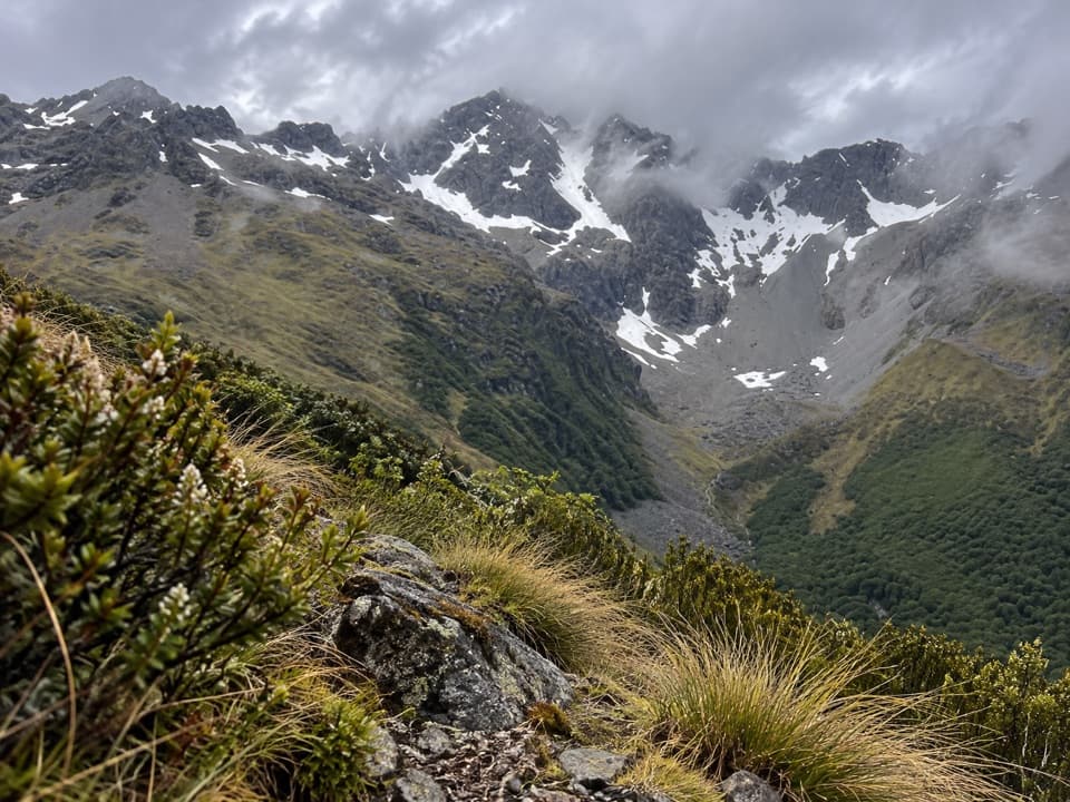 ChallengingCupola Track8.4 km · 5 hr · 5.3 km awayA steep backcountry climb to a high hut and Mount Hopeless views.
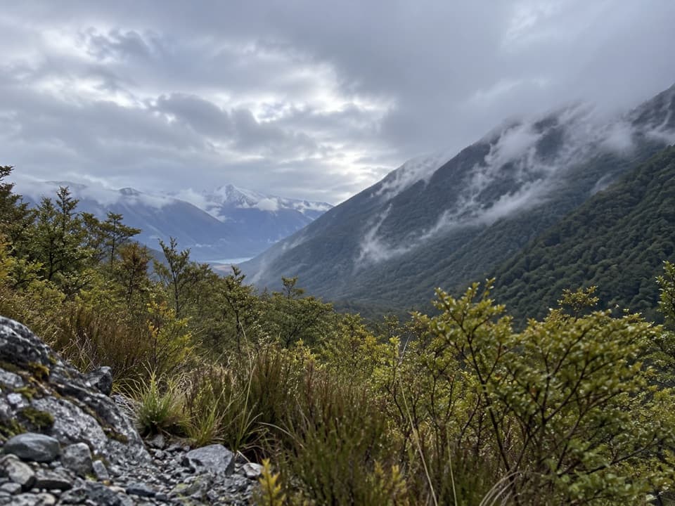 ModerateSabine Track15 km · 6 hr · 5.6 km awayOpen flats, a river gorge and a hut above Lake Rotoroa.
 ChallengingRotomairewhenua/Blue Lake Track15.4 km · 7 hr · 5.7 km awayThe clearest water comes after a long, serious alpine climb.
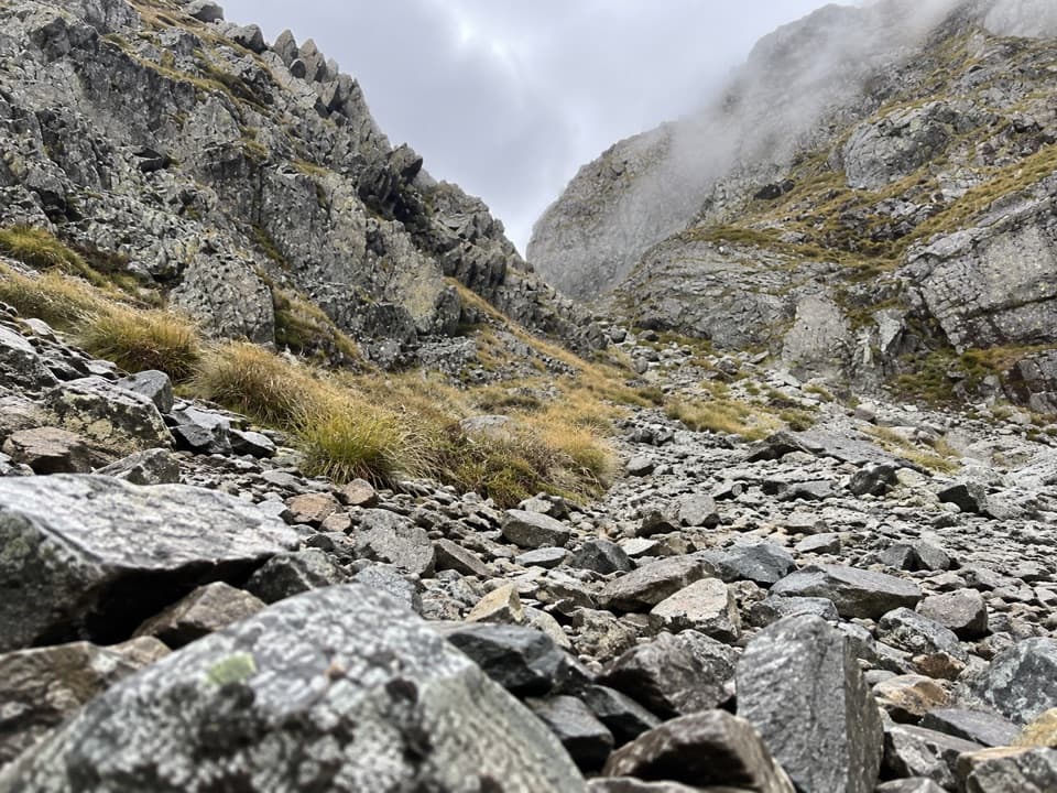 ChallengingMoss Pass Route6.6 km · 6 hr · 8.9 km awayA steep rocky pass opens views into two remote valleys.
 ChallengingWaiau Pass Route16.7 km · 11.5 hr · 8.9 km awayA remote, expert alpine crossing over Waiau Pass.
 ChallengingRotopōhueroa/Lake Constance Track5.6 km · 5 hr · 8.9 km awayA steep moraine climb to a sacred alpine lake.
 ModerateHopeless Track to Hopeless Hut7.9 km · 3.5 hr · 9.4 km awayA creek-side climb to a remote six-bunk hut.
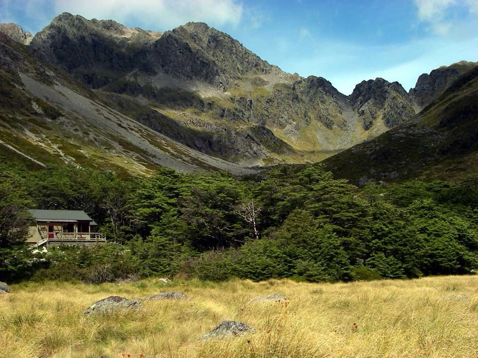 Lodging · At the trailheadUpper Travers HutSleep below Mount Travers on this demanding multi-day circuit.
 Sight · 3.6 km awayTravers FallsA 20-metre cascade on a demanding multi-day route.
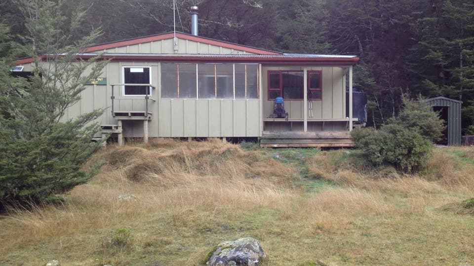 Lodging · 5.3 km awayJohn Tait HutA riverside refuge on a classic multi-day alpine circuit.
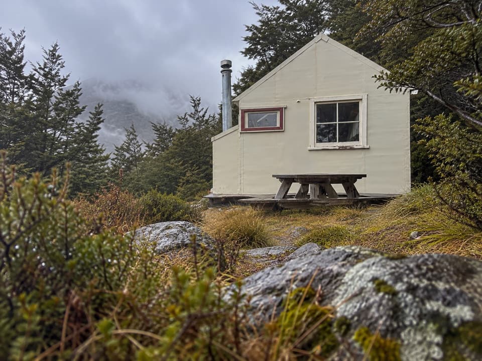 Lodging · 5.6 km awayCupola HutA remote alpine hut above the Travers Valley after a steep climb.
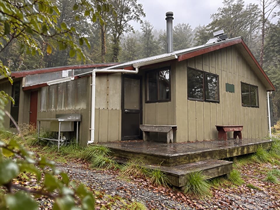 Lodging · 5.6 km awayWest Sabine HutA warm, 30-bunk stop on the high Travers–Sabine CircuitSight · 8.8 km awayRotomairewhenua / Blue LakeAn exceptionally clear alpine lake reached on a multi-day tramp.
 Lodging · 8.9 km awayBlue Lake HutA booked hut gives you time near the famously clear lake.Lodging · 10 km awayHopeless HutA six-bunk hut with a Sir Edmund Hillary opening story.
Parkwolf’s Nelson Lakes ranking

The audio tour guide for the drive, plus offline maps, trails, and wildlife heatmaps for when the signal drops.




