Moderate

Sabine Track

Beech-forest river walk to Lake Rotoroa with a Blue Lake bonus.
Sabine Track, Nelson Lakes National Park
Distance9.6 mi
Typical time5 hr
DifficultyModerate
PetsNot allowed

Overview

This is the Sabine valley section of the classic Travers–Sabine route: a point‑to‑point tramping track linking West Sabine Hut to Sabine Hut on Lake Rotoroa. Expect a well‑marked backcountry track with bridges over major crossings, rough natural tread, and a few short, punchy climbs. It’s quieter than many marquee NZ hikes but still well supported by huts.

What You’ll See

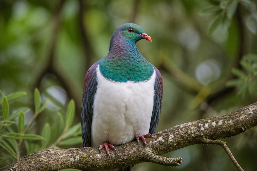
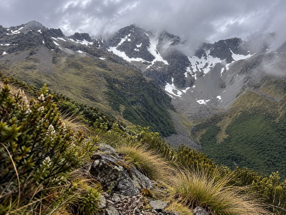
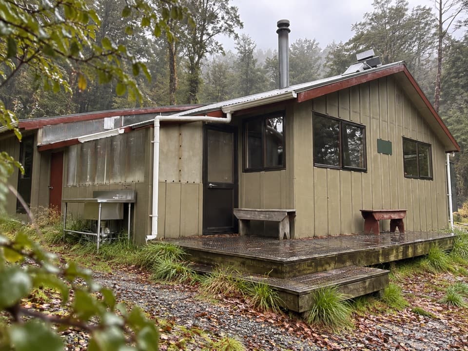
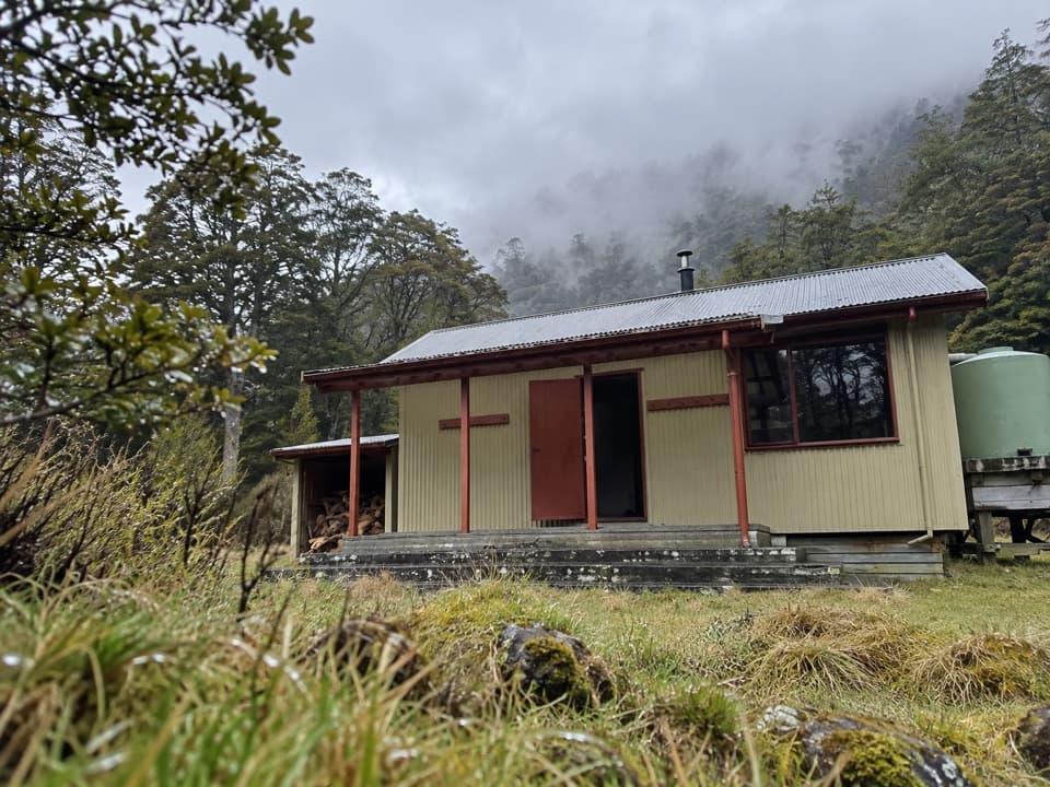
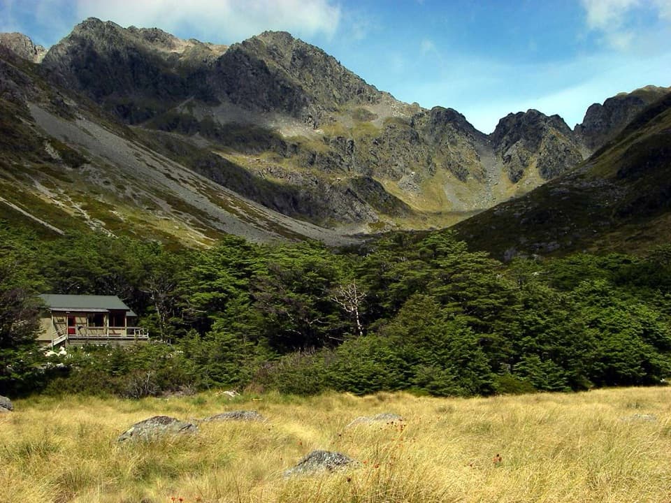
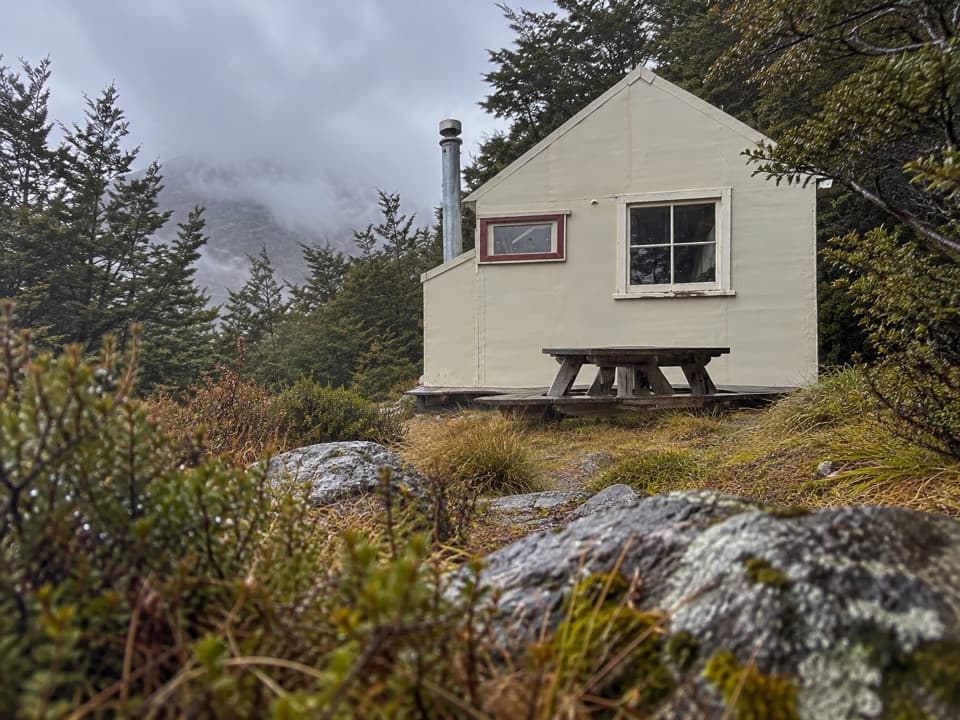
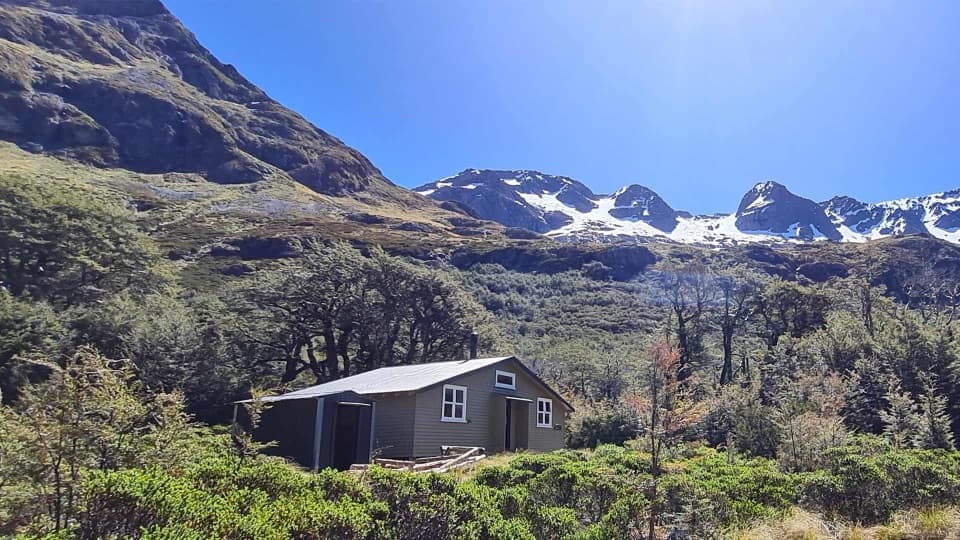
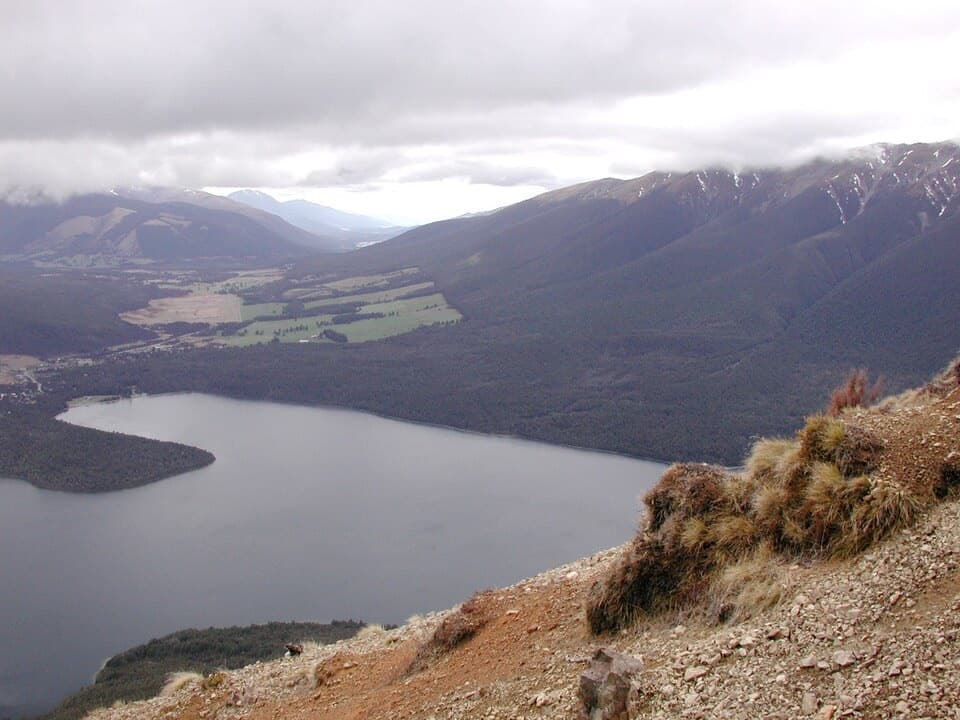
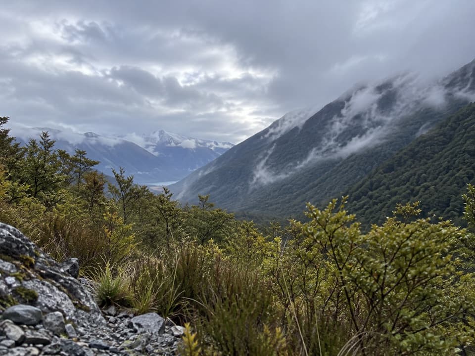
The walking is quintessential beech forest, punctuated by three long open river flats and powerful river features—including a bridge over a narrow cleft in the lower valley and a dramatic chasm crossed near the Sabine forks. Lake views open wide as you near Sabine Hut on Rotoroa’s shore. Keep an eye out for curious weka, and be ready for classic South Island sandflies, especially around West Sabine Hut.

Route, Distance and Time

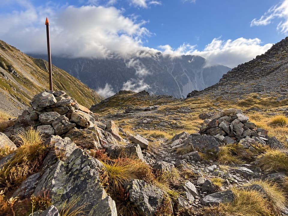
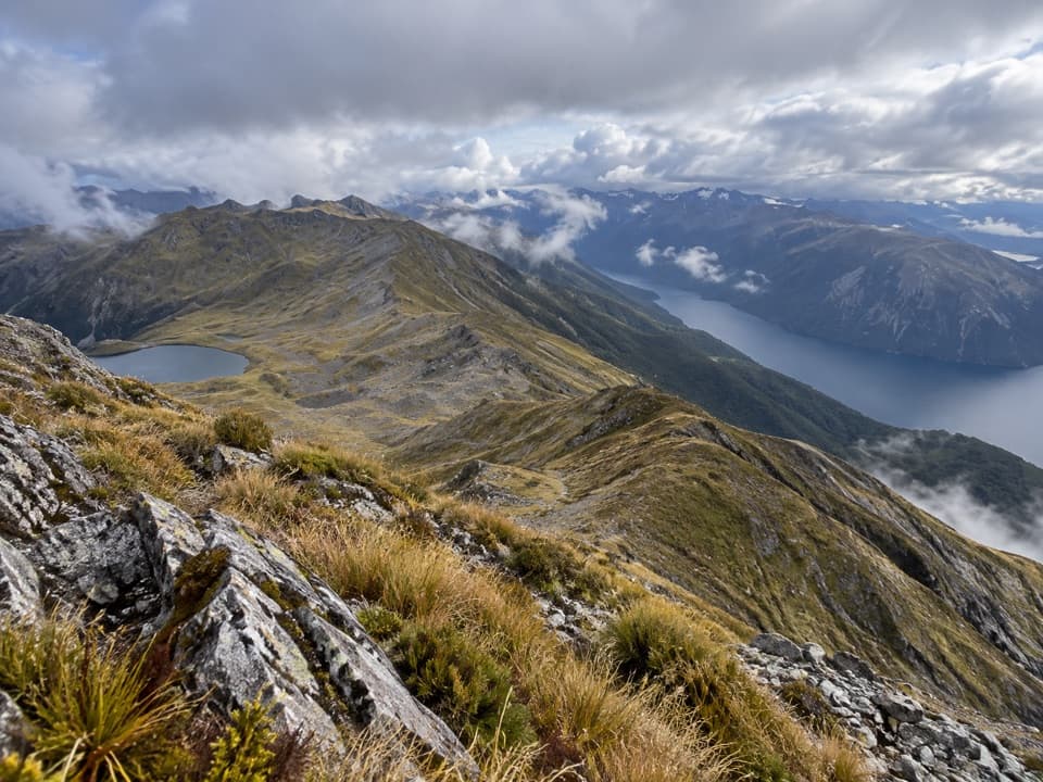
West Sabine Hut to Sabine Hut is typically 5 hours in normal conditions. It undulates along the West Branch Sabine River, with an easier rhythm across open flats and a short, steep detour around a lower‑valley gorge. Total distance is about 15–16 km (9.3–9.9 miles). From this side, a renowned side trip climbs to Rotomairewhenua/Blue Lake—please respect the no‑washing/no‑swimming guidance to protect its extraordinary clarity. Another popular but committing option from behind Sabine Hut is the steep, exposed ridge to Rotomaninitua/Lake Angelus via Mt Cedric.

Best Time to Hike

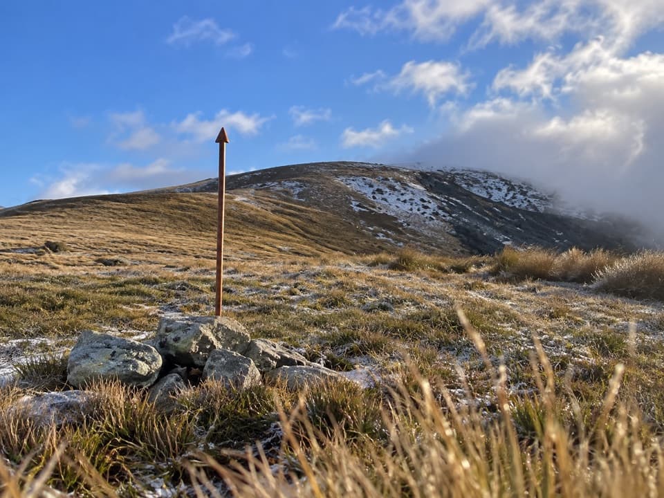
October–May usually offers the friendliest weather. Even so, rain can spike stream levels and make sidles slick, and freezing conditions can hit any time higher up. If your itinerary includes the Poukirikiri/Travers Saddle to reach or leave the Sabine, factor in winter‑spring snow and known avalanche seasons (typically June–October, sometimes into December).

Logistics and Tips

Access Sabine Hut by linking tracks or by pre‑arranged water taxi on Lake Rotoroa; the lakeside Rotoroa Route (eastern shore) is permanently closed. Many walkers finish or continue toward St Arnaud via Speargrass Hut to the Mt Robert car park. Book huts in advance (Sabine and West Sabine) and carry proof. Treat water if unsure, practice good hut hygiene, and carry full rain gear, warm layers, and a personal locator beacon. Wasps are common January–April; antihistamines help if you’re sensitive. Isolated car parks have seen thefts—don’t leave valuables; bag storage is available at the Rotoiti/Nelson Lakes Visitor Centre. Dogs aren’t permitted in the park. If weather or conditions deteriorate—especially near the alpine saddle—turn back.

Pros

  • Direct access to the famed Rotomairewhenua/Blue Lake as a side trip
  • Lake Rotoroa finish with optional water taxi simplifies exit logistics
  • Less touristed vibe than many high‑profile NZ routes

Cons

  • Sandflies are fierce around West Sabine Hut
  • Short, steep gorge bypass can be slick and slow after rain
  • Rotoroa Route closure limits straightforward shoreline access

Parking

Park at Mt Robert car park if linking via the Speargrass Valley; otherwise arrange pickup/drop‑off by water taxi at Rotoroa village for Sabine Hut access. Do not leave valuables; bag storage is available at the Rotoiti/Nelson Lakes Visitor Centre.

Caution

Heavy rain can make side streams unsafe and the gorge sidle slippery; wasps are common January–April; sandflies are intense at huts; if crossing the Poukirikiri/Travers Saddle as part of your trip, assess avalanche and freezing conditions year‑round. The Rotoroa Route along Lake Rotoroa’s east shore is permanently closed.

The Parkwolf tour guide sitting on a phone mounted in a car

Parkwolf Tour Guide

Like a tour guide in your car.

Bring Nelson Lakes trail research into the car, with offline maps and stories that play as you drive.Download Parkwolf on the App Store