Parking
No dedicated Workman's Hollow lot or formal trailhead is identified. The town-side path entrance is near Charlie McCoy Town Park, but the available town information does not confirm that its parking serves this trail.

New River Gorge National Park, WV
A quick singletrack link to the Wolf Creek footbridge.
Overview
Map & elevation
Plan your hike

The highest, rockiest slopes around here are a summer buffet for grizzly bears.
New River Gorge Tour Guide
Parkwolf is a GPS audio tour guide for New River Gorge National Park. As you drive, it chimes in with what’s ahead: hidden gems, upcoming stops, history, geology, and wildlife, right through your car’s speakers.
See the New River Gorge audio tourRecorded for this area
The Yellow Behind the Green“The yellow in an autumn leaf may have been there all summer. Green chlorophyll usually hides it while the leaf uses sunlight to help make food for the tree.”
Plays on the road 0.5 mi from the trailhead in the Parkwolf New River Gorge Tour Guide.
More stories near here in the app
“Fantastic app with many points of information… It’s great to just turn on while you’re driving and it gives you an audio tour of the national Park. We love it!!!!”


Trail guide
Workman's Hollow Trail is a short, easy singletrack linking Fayetteville's town side with the Fayetteville Trail at the Wolf Creek footbridge. The mapped section is about 0.5 mile one way; walk it out and back along the same path for about 1 mile total. Plan on roughly 20 to 30 minutes. It is a useful way to reach the wider trail network, not a destination hike with its own overlook.
From the town end, the line generally drops toward Wolf Creek, with about 90 to 110 feet of elevation change over the half-mile. The return is the uphill leg. The singletrack is easy to follow and is also used for biking and trail running, so be ready to share it with riders. Dogs are allowed.
Start at the town-side path entrance and turn around at the Wolf Creek bridge if you want just Workman's Hollow. There it joins the longer Fayetteville Trail; that separate 3.96-mile one-way route is not included in this trail's mile count. The exact street approach and dedicated parking for Workman's Hollow are not clearly identified. Charlie McCoy Town Park is nearby, but its paved half-mile health walk and Park Loop are separate paths.
Wildlife
 18 sightingsBlack BearMost seen around 7 PMSighting map
 126 sightingsWhite-tailed DeerMost seen around 6 AMSighting map
 25 sightingsPileated WoodpeckerMost seen around 8 AMSighting map
 15 sightingsBarred OwlMost seen around 7 PMSighting map
 14 sightingsWild TurkeyMost seen around 6 AMSighting map
 58 sightingsCopperheadMost seen around 7 PMSighting map
Sighting maps show where each species has been reported across New River Gorge. Wildlife moves, so no sighting is guaranteed.
Keep exploring
 EasyPark Loop Trail1.1 mi · 36 min · 0.4 mi awayAn easy wooded loop you can add at Town Park.
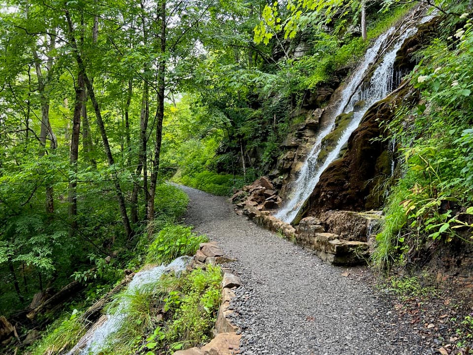 ModerateKaymoor Trail8.6 mi · 4.5 hr · 1 mi awayAn 8.6-mile one-way gorge route past Kaymoor's historic mine.
 ChallengingFayetteville Trail4 mi · 3 hr · 1 mi awayA creek crossing links Fayetteville’s trails to Kaymoor.
 ModerateBridge Trail0.9 mi · 45 min · 1.1 mi awayGet beneath the New River Gorge Bridge on a short, rocky hike.
 ModerateLong Point Trail3.2 mi · 1.8 hr · 1.4 mi awayThe bridge view repays the forest miles and rocky finish.
 EasyTimber Ridge Trail1 mi · 30 min · 1.4 mi awayA short wooded link into the Fayetteville trail network.
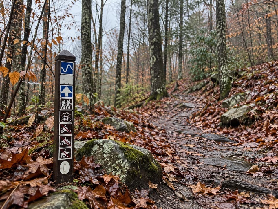 ModerateLeCroy Trail1.8 mi · 1.3 hr · 1.5 mi awayNarrow singletrack, a rock bridge, and a rhododendron tunnel.
 ModerateCanyon Rim Boardwalk0.3 mi · 24 min · 1.6 mi awayA quick bridge view, with 178 strenuous steps below.
 Restaurant · 0.4 mi awayCathedral CafeA former church turned cafe with towering stained glass.
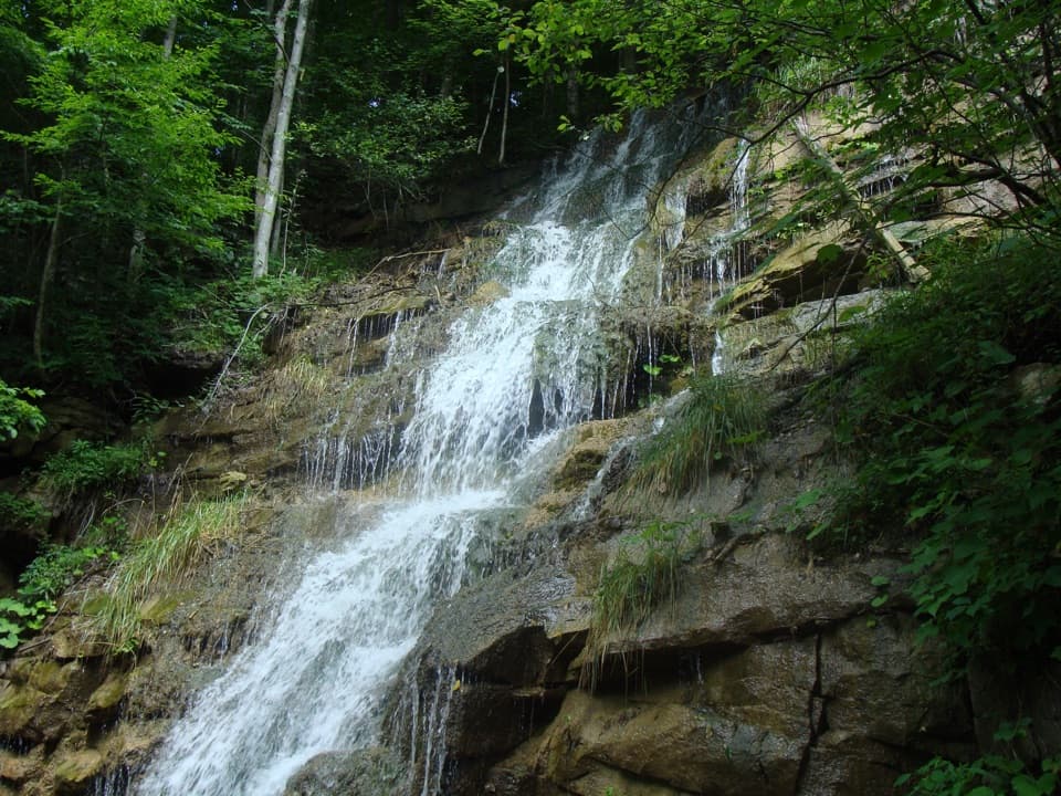 Sight · 1 mi awayKaymoor Mine FallsA mossy cascade where mine drainage meets Wolf Creek.Sight · 1.1 mi awayLong Point OverlookA rough last pitch opens onto the park’s signature bridge view.
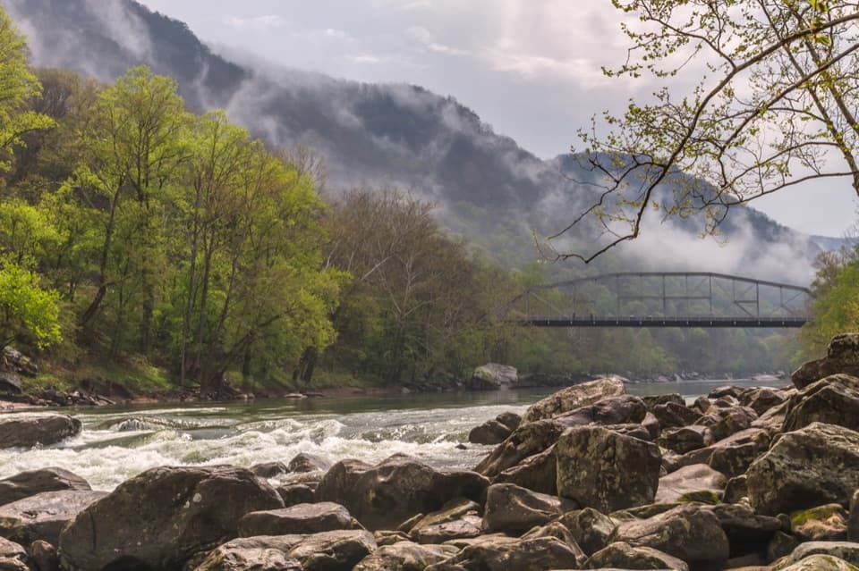 Sight · 1.2 mi awayFayette Station River AccessRapids, two bridges, and the gorge from river level.
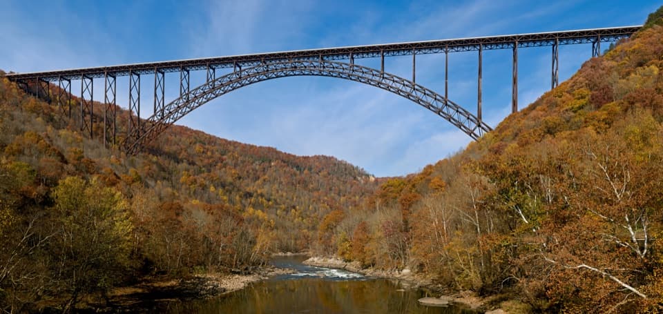 Sight · 1.2 mi awayNew River Gorge BridgeA 3,030-foot steel arch above a river 876 feet below.
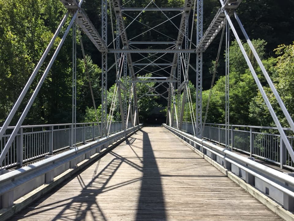 Sight · 1.3 mi awayTunney Hunsaker BridgeA historic lower crossing on Fayette Station Road's one-way gorge drive.
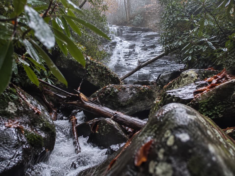 Sight · 1.3 mi awayButcher Branch FallsA close-up waterfall reached by a short, steep spur.
 Sight · 1.6 mi awayCanyon Rim Bridge OverlookTwo decks put the full bridge arch above the river gorge.
Parkwolf’s New River Gorge ranking

The audio tour guide for the drive, plus offline maps, trails, and wildlife heatmaps for when the signal drops.