Parking
From Stehekin Landing, take the valley shuttle or walk about 2.5 miles up Stehekin Valley Road to the lower, southern Rainbow Loop trailhead. Plan the exit from McAlester Pass or the return before starting.

North Cascades National Park, WA
A hard climb into open meadows above Lake Chelan
Overview
Map & elevation
Plan your hike

The highest, rockiest slopes around here are a summer buffet for grizzly bears.
North Cascades Tour Guide
Parkwolf is a GPS audio tour guide for North Cascades National Park. As you drive, it chimes in with what’s ahead: hidden gems, upcoming stops, history, geology, and wildlife, right through your car’s speakers.
See the North Cascades audio tourRecorded for this trailhead
Rainbow Loop: A Traverse with Lake Views“Rainbow Loop’s lower trailhead is ahead, with a climb to rocky views over Lake Chelan and the Stehekin Valley.”
Plays as you drive up to this trailhead in the Parkwolf North Cascades Tour Guide.
More stories near here in the app
“Fantastic app with many points of information… It’s great to just turn on while you’re driving and it gives you an audio tour of the national Park. We love it!!!!”


Trail guide
Rainbow Creek Trail is a remote, steep 9.7-mile point-to-point route from the lower, southern Rainbow Loop trailhead on Stehekin Valley Road to McAlester Pass. The total includes about 1.8 miles on the lower Rainbow Loop approach, then 7.9 miles on Rainbow Creek Trail, with 4,800 feet of gain. Allow about 8–10 hours to reach the pass. This is a through-route, not a loop: turning around makes a 19.4-mile day, while continuing over the pass toward State Route 20 creates an 18.5-mile itinerary across several trails.
The approach climbs moderate switchbacks through dry ponderosa pine and Douglas fir. Keep an eye on the sandy tread for antlion pits, tiny funnels dug by larvae to catch ants. At about 1.6 miles, the Boulder Creek junction and a nearby rock outcrop open toward Lake Chelan, the Stehekin River and Buckner Orchard. Continue about 0.4 mile to cross Rainbow Creek, then leave Rainbow Loop at the Rainbow Creek Trail junction. Grassy slopes, forest and rocky outcrops can hold wildflowers in May and early June. From the outcrop, include a strip of rocky foreground in a photo so the drop to the lake reads.
The 7.9-mile climb from the junction to McAlester Pass is steep and sustained. Rainbow Ford, Bench Creek and Bowan backcountry camps break up the route, but they are camps, not road access or services. The destination is a broad subalpine meadow pass, with boggy ground possible early in the season; the trail continues toward McAlester Lake beyond the pass.
The lower approach crosses the remnant of an old alluvial fan. Ice carved the main Stehekin Valley deeper than its smaller tributary glaciers cut Rainbow Creek valley, leaving the creek valley perched above the main floor. When the ice retreated about 10,000 years ago, Rainbow Creek spread pulverized rock across the fan; the Stehekin River has eroded it since.
Wildlife
 101 sightingsMountain GoatMost seen around 6 PMSighting map
 70 sightingsBlack BearMost seen around 8 PMSighting map
 20 sightingsMule DeerMost seen around 7 PMSighting map
 77 sightingsSooty GrouseMost seen around 6 AMSighting map
 23 sightingsWhite-tailed PtarmiganMost seen around 6 PMSighting map
 75 sightingsWestern ToadMost seen around 8 PMSighting map
Sighting maps show where each species has been reported across North Cascades. Wildlife moves, so no sighting is guaranteed.
Keep exploring
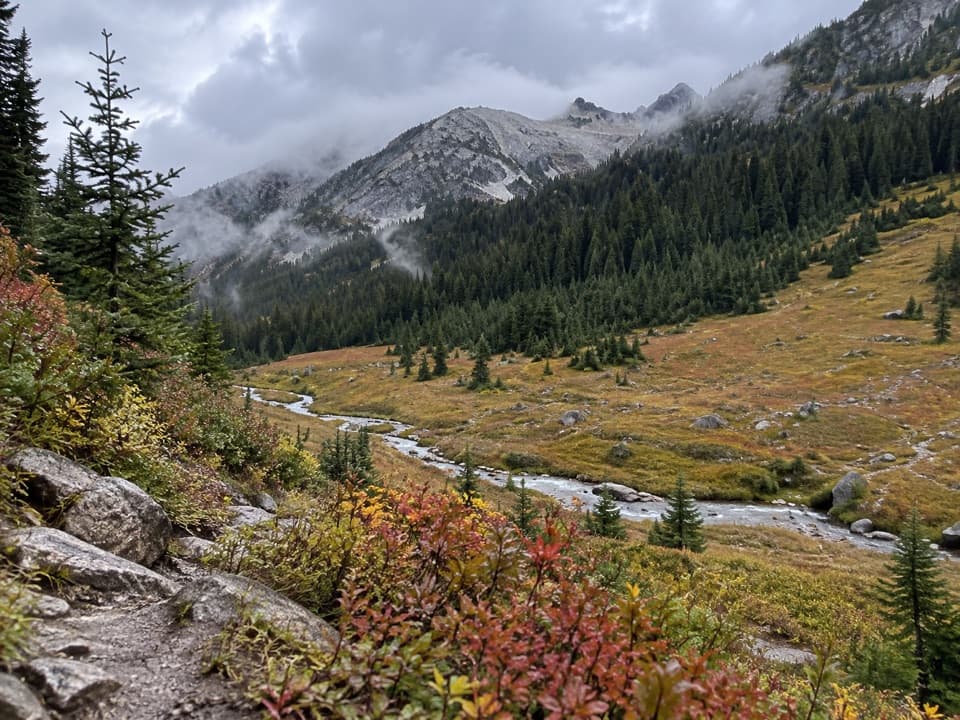 ChallengingBoulder Creek Trail11.2 mi · 10.5 hr · At the trailheadAn 11-mile one-way climb from Stehekin into high country.
 ModerateRainbow Loop Trail4.4 mi · 3.5 hr · At the trailheadA 4.4-mile traverse for Lake Chelan and Stehekin Valley views.
 EasyBuckner Orchard Walk0.6 mi · 1 hr · 0.7 mi awayA shady ditch-side path opens onto a working historic orchard.
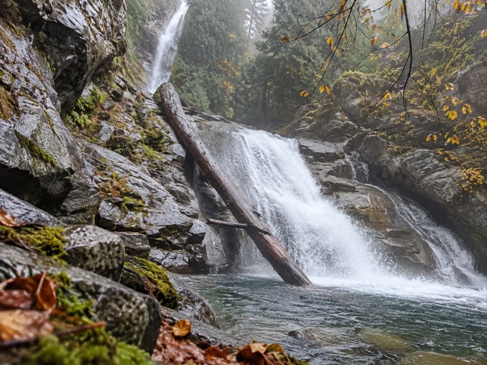 EasyRainbow Mist Trail0.3 mi · 20 min · 0.8 mi awayTwo viewpoints bring you close to a 312-foot waterfall.
 ChallengingDevore Creek Trail15 mi · 13 hr · 1.3 mi awayA steep backcountry route from Weaver Point into Ten Mile Basin.
 EasyStehekin River Trail6.4 mi · 3.5 hr · 1.4 mi awayA gentle forest walk to Weaver Point, with river and falls views
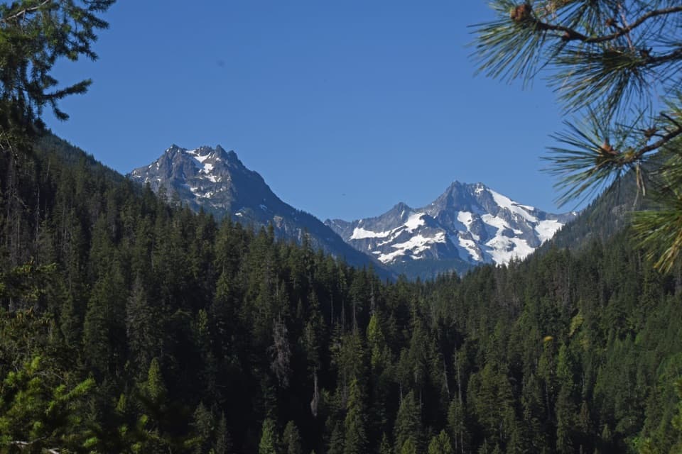 ChallengingHilgard Pass / Ten Mile Pass Loop28 mi · 20 hr · 2.2 mi awayA demanding loop from Stehekin to two high mountain passes.ChallengingCompany Creek Trail11 mi · 10 hr · 2.2 mi awayA demanding 5,400-foot climb from Stehekin to Hilgard Pass.Sight · 0.4 mi awayBuckner OrchardWalk the orchard's old irrigation ditch among heirloom apple trees.
 Sight · 0.7 mi awayStehekin Old SchoolA one-room schoolhouse shows how an isolated valley educated its kids.
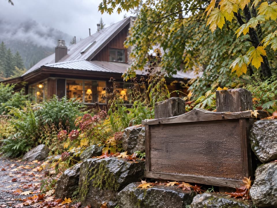 Food · 0.7 mi awayStehekin Pastry CompanyA proper pastry break, two miles up the Stehekin valley.
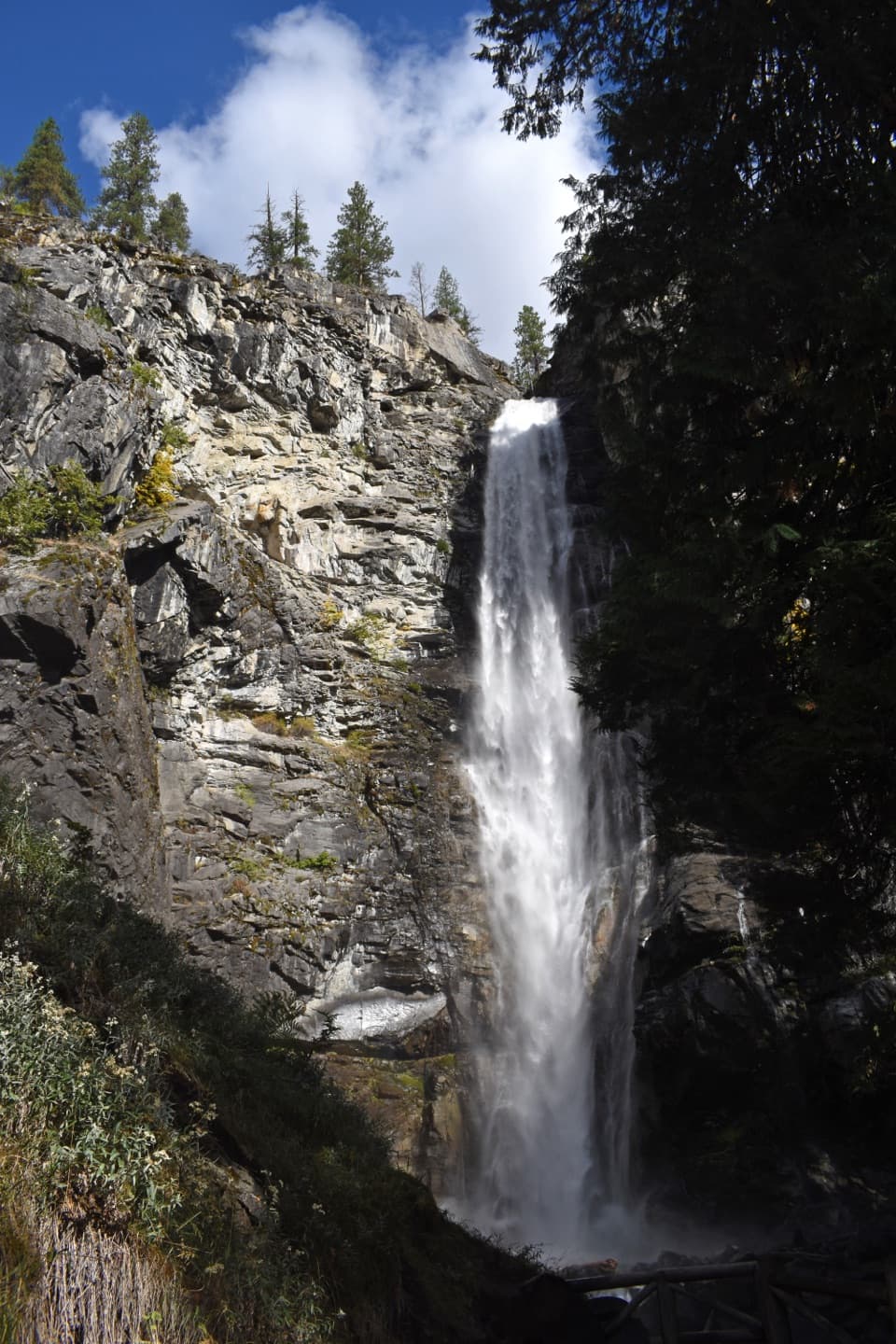 Sight · 0.8 mi awayRainbow FallsA short walk reaches a 312-foot waterfall in a glacial valley.
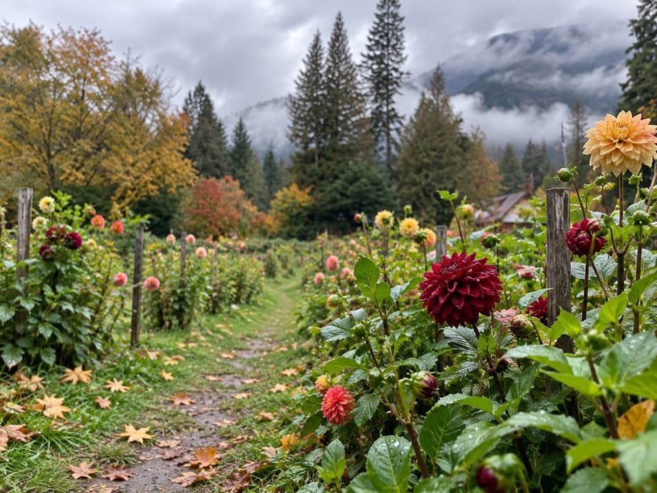 Store · 0.9 mi awayThe GardenA garden and farm stand for seasonal produce and homemade goat cheese.
 Campground · 1 mi awayRainbow Bridge CampAn overnight camp on Rainbow Loop, in the area burned in 2010.
 Campground · 1.4 mi awayWeaver Point CampgroundA boat-in Lake Chelan camp with a 3.5-mile trail approach.
 Campground · 1.4 mi awayHarlequin CampgroundA walk-in camp along the Stehekin River.
Parkwolf’s North Cascades ranking

The audio tour guide for the drive, plus offline maps, trails, and wildlife heatmaps for when the signal drops.




