Parking
Start at the small car park or roadside parking near the church and Dalicar Bridge, grid reference SE543898. The approach lanes are narrow, so park considerately.
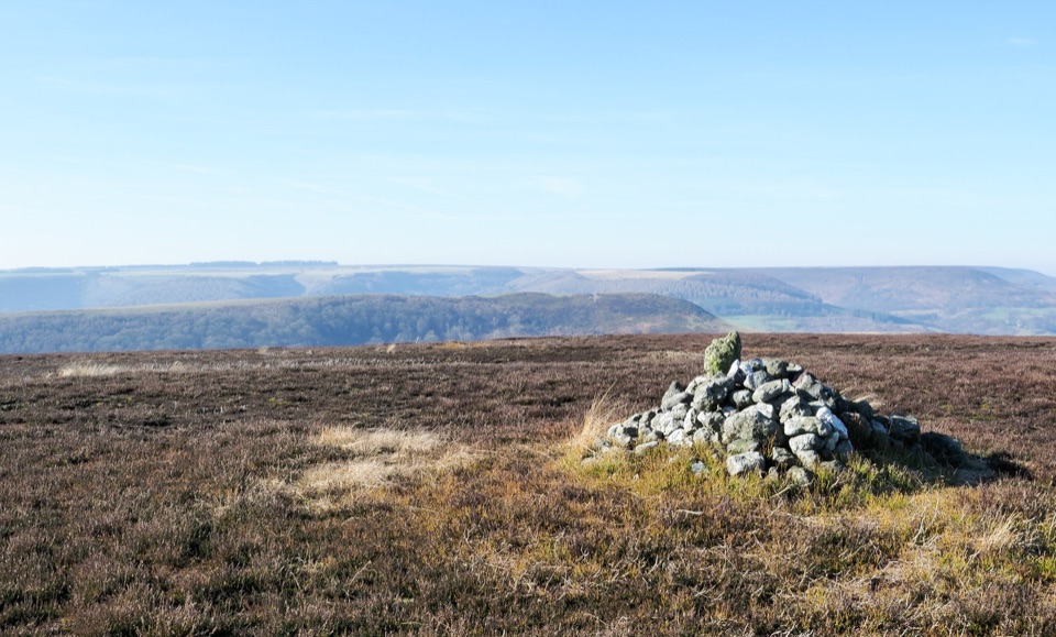
North York Moors National Park, EN
Two shapely hills, big Rye Dale views, two short steep climbs
Overview
Map & elevation
Plan your hike

The highest, rockiest slopes around here are a summer buffet for grizzly bears.
North York Moors Tour Guide
Parkwolf is a GPS audio tour guide for North York Moors National Park. As you drive, it chimes in with what’s ahead: hidden gems, upcoming stops, history, geology, and wildlife, right through your car’s speakers.
Recorded for this trailhead
Hawnby Hill and Easterside Hill“You're approaching Dalicar Bridge near Hawnby, the start of a five-mile loop over Hawnby Hill and Easterside Hill.”
Plays as you drive up to this trailhead in the Parkwolf North York Moors Tour Guide.
More stories near here in the app
“Fantastic app with many points of information… It’s great to just turn on while you’re driving and it gives you an audio tour of the national Park. We love it!!!!”


Trail guide
A complete loop of about 5 miles / 8.2 km from Dalicar Bridge at Hawnby, taking in Easterside Hill, a stretch of upper valley and moor, and the ridge of Hawnby Hill before dropping back to where you started. Total ascent is around 343 m, packed mostly into two short, steep pulls. Most walkers should allow 2.5 to 3 hours, a little more if you stop for the views or lose the thread of a faint path.
Both hills are low by moorland standards but they rise abruptly out of the dale, so the ascents are short and genuinely steep. Easterside is the bigger, broader lump and slightly the higher of the two; Hawnby Hill is the sharper, more shapely one with a fine narrow top. Elevation on the walk swings between roughly 105 m in the valley and the high 280s on the tops, with a dip in the middle, so you are climbing twice rather than once.
These are classic tabular hills, and the payoff is out of proportion to the height. From the crests you look over Rye Dale and into Bilsdale, with heather moorland spreading away and the Bilsdale mast standing out as an easy landmark for orientation. Hawnby village and its church sit neatly in the middle of the circuit and make a natural halfway marker.
The path along Hawnby Hill is clear and obvious. The line to the top of Easterside is fainter, and elsewhere there are narrow, sometimes indistinct paths where it is easy to drift off route, so carry a map and know roughly where you are. Grass and steep ground get slippery when wet, and the descents deserve care in poor weather. Note that the path above Sportsman's Hall has been diverted to a newer bridge, so the on the ground line may not match older directions.
Dogs are welcome on the route. On moorland, keep them on a short lead under 2 m between 1 March and 31 July for ground-nesting birds, and keep them under close control around livestock at any time of year.
Start from the roadside or the small car park near the church and Dalicar Bridge, grid reference SE543898. Parking in and around the village is limited, and the approach lanes are narrow, so arrive early and park considerately. The walk uses public rights of way plus open-access land around Easterside Hill.
If 5 miles is not enough, there are longer circuits from the same area that link the two hills with more moorland, including versions around 7.5 miles and a separate 9-mile route starting from Newgate Bank. This loop is the tight, efficient version: both summits, both views, half a day at most.
Wildlife
 15 sightingsEurasian OtterMost seen around 7 PMSighting map
 10 sightingsRed DeerMost seen around 7 AMSighting map
 79 sightingsGrey SealMost seen around noonSighting map
 26 sightingsWestern Barn OwlMost seen around 7 PMSighting map
 33 sightingsEuropean BadgerMost seen around 7 PMSighting map
 10 sightingsMute SwanMost seen around noonSighting map
Sighting maps show where each species has been reported across North York Moors. Wildlife moves, so no sighting is guaranteed.
Keep exploring
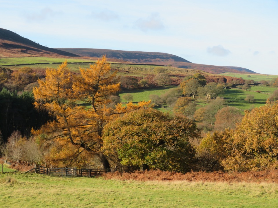 EasyHawnby Circular4.3 km · 1 hr · 3.3 km awayA hilly mix of woodland, river crossings and open moorland.
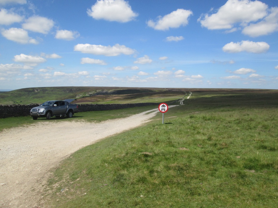 EasyMiles without Stiles (For many) - Hambleton Drove Road2 km · 45 min · 5.1 km awayAncient drovers' road to a wide Thorodale viewpoint, gentle and short
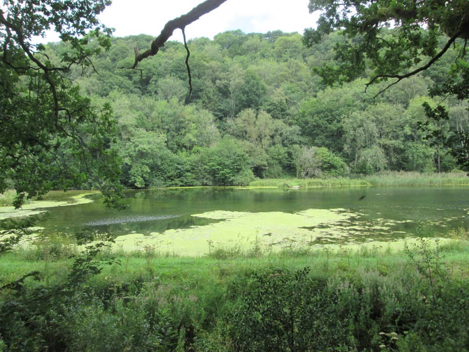 EasyMiles without Stiles (For many) - Nettledale1.6 km · 45 min · 5.8 km awayA gentle woodland track to ponds and a Cleveland Way stream crossing
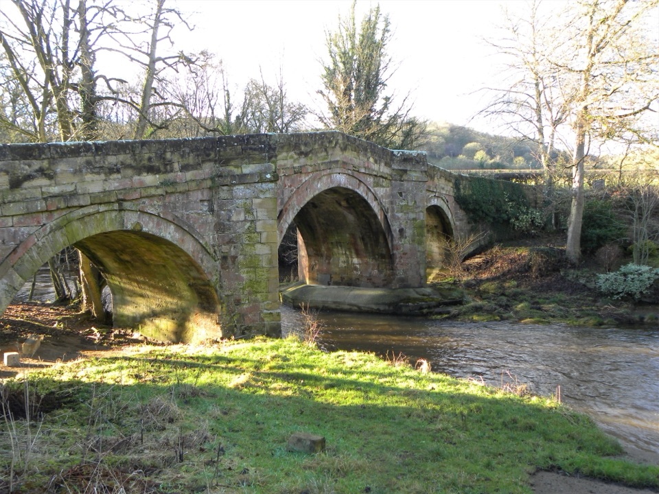 EasyRiver Folk Audio Trail3.7 km · 1 hr · 6 km awayShort river valley loop with downloadable audio stories by Rievaulx Abbey
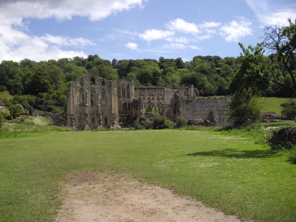 EasyRievaulx Loop3.7 km · 1 hr · 6 km awayAncient canal line, Bow Bridge and abbey views in one easy hourEasyMiles without Stiles (For some) - Rievaulx Loop4 km · 1.1 hr · 6 km awayAbbey views, bridges and bluebell woods on a short, hilly 2.5-mile loop
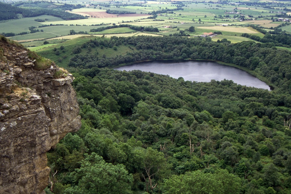 ModerateGormire Lake from Sutton Bank6.5 km · 2.5 hr · 6.9 km awayCliff-edge views, a steep woodland drop to a quiet hidden lake
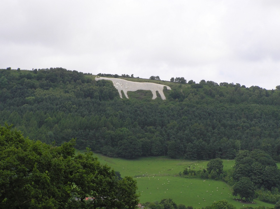 EasyMiles without Stiles (For many) - Sutton Bank and Kilburn White Horse5.6 km · 1.6 hr · 6.9 km awayStep-free escarpment walk to the White Horse, big Vale of York views
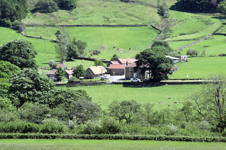 Sight · 5.4 km awaySpout House, BilsdaleThatched cruck-framed longhouse that served ale for two centuries
 Sight · 6.1 km awayRievaulx AbbeyTall Cistercian church arches in a quiet wooded river valley
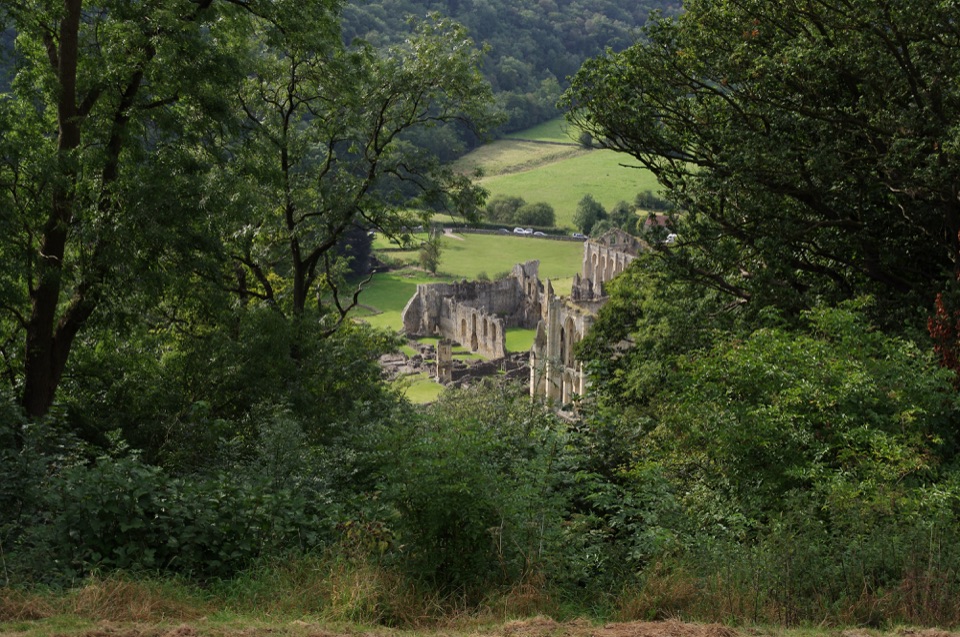 Sight · 6.3 km awayRievaulx TerraceGrassy Georgian terrace with two temples and framed abbey views
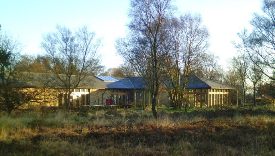 Visitor center · 6.9 km awaySutton Bank National Park CentreEscarpment-edge hub with huge views, easy trails and family bike routes
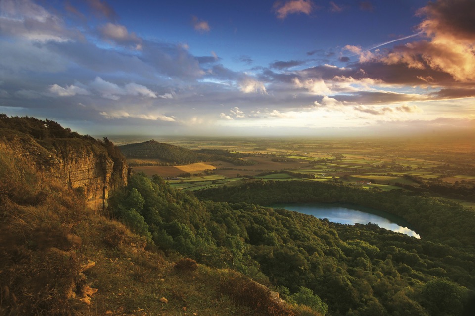 Sight · 7 km awaySutton Bank ViewpointCliff-edge panorama over the Vale of York, Gormire Lake below
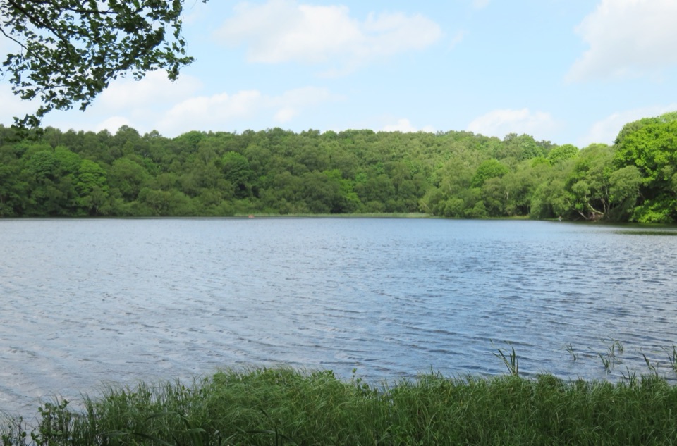 Sight · 7.3 km awayGormire LakeGlacial lake below Whitestone Cliff, reached by a steep woodland descent
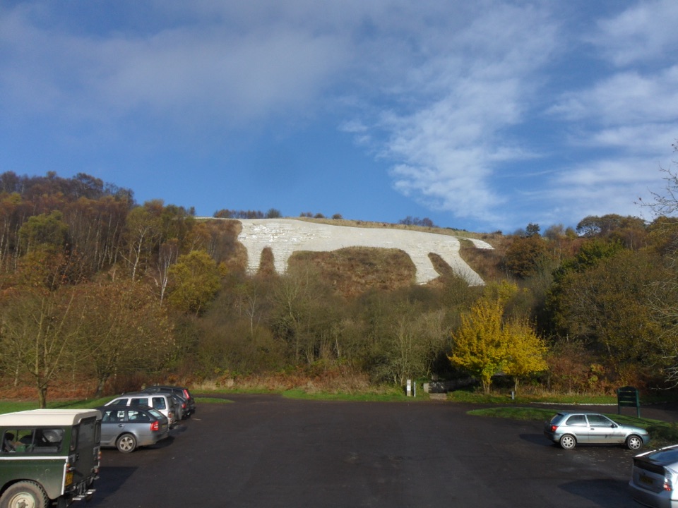 Sight · 8.7 km awayWhite Horse of KilburnBritain's most northerly turf-cut hill figure, visible for over 20 miles
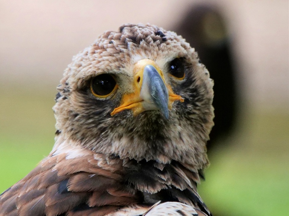 Sight · 9.2 km awayNational Centre for Birds of PreyEagles, owls and vultures flying free in ancient Duncombe woodland
Parkwolf’s North York Moors ranking

The audio tour guide for the drive, plus offline maps, trails, and wildlife heatmaps for when the signal drops.





