Parking
Use Hulme End car park for the northern start; its 75-space pay-and-display lot takes coins only. Parking areas are available at Waterhouses too, but capacity and payment details were not found.
Peak District National Park, EN
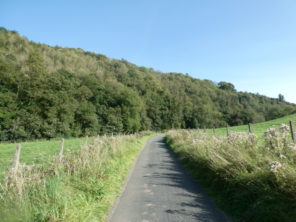
A gentle railway trail through valleys beneath Thor’s Cave.
Overview
Map & elevation
Plan your hike

The highest, rockiest slopes around here are a summer buffet for grizzly bears.
Peak District Tour Guide
Parkwolf is a GPS audio tour guide for Peak District National Park. As you drive, it chimes in with what’s ahead: hidden gems, upcoming stops, history, geology, and wildlife, right through your car’s speakers.
Recorded for this trailhead
Manifold Way from Hulme End“You're approaching Hulme End, the northern start of the Manifold Way.”
Plays as you drive up to this trailhead in the Parkwolf Peak District Tour Guide.
More stories near here in the app
“Fantastic app with many points of information… It’s great to just turn on while you’re driving and it gives you an audio tour of the national Park. We love it!!!!”


Trail guide
The Manifold Way, also called the Manifold Track, is an 8-mile one-way walk from Hulme End to Waterhouses. It follows the former Leek and Manifold Valley Light Railway through the limestone valleys of the Manifold and Hamps. Most of it is surfaced and fairly level, with wooded slopes, crags and stretches beside the river. Allow 4–4.5 hours on foot; exploring the cave adds time.
From Hulme End’s old station, follow the former line south. It carried milk and passengers from 1904 to 1934; Ecton Creamery sent most of its milk to London. Wetton Mill, a former corn mill, is now a tearoom. Thor’s Cave’s tall arch rises above the track; a stepped spur reaches its entrance but can be difficult when wet. South of the mill, the Manifold sinks into limestone and resurfaces at Ilam about five miles away. Weag’s Bridge is a photogenic stone span over the river; the way then follows the Hamps to Waterhouses.
This is point to point, so plan your return; one section uses a minor road through Swainsley Tunnel. Hulme End has a 75-space pay-and-display car park (coins only), accessible toilets and a café in the old engine shed. Wetton Mill has public toilets, and Waterhouses has toilets, a pub, café and convenience store. Dogs are allowed on lead. For a shorter walk, the park maps an accessible 2.8 km section from Wetton Mill to Weag’s Bridge.
Wildlife
 248 sightingsRed DeerMost seen around 7 AMSighting map
 36 sightingsRed FoxMost seen around 6 AMSighting map
 15 sightingsEurasian OtterMost seen around 7 PMSighting map
 51 sightingsPeregrine FalconMost seen around 6 PMSighting map
 47 sightingsEuropean Fallow DeerMost seen around 6 AMSighting map
 54 sightingsWestern Roe DeerMost seen around 7 PMSighting map
Sighting maps show where each species has been reported across Peak District. Wildlife moves, so no sighting is guaranteed.
Keep exploring
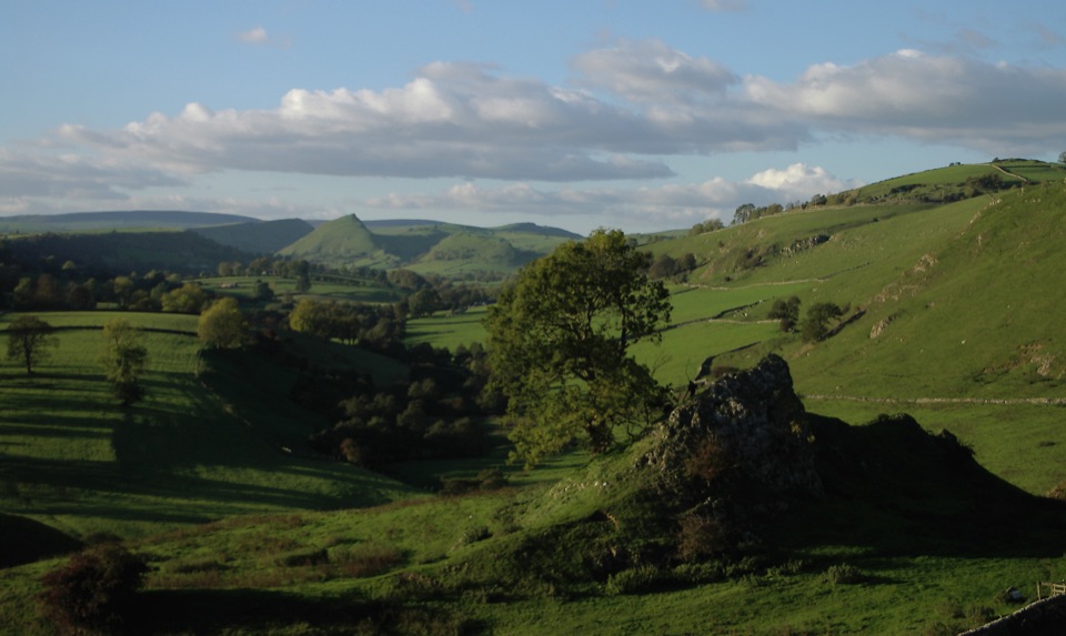 ModerateHartington to Pilsbury Castle8.9 km · 3.1 hr · 2.6 km awayA Hartington out-and-back through the Dove valley to Pilsbury Castle.
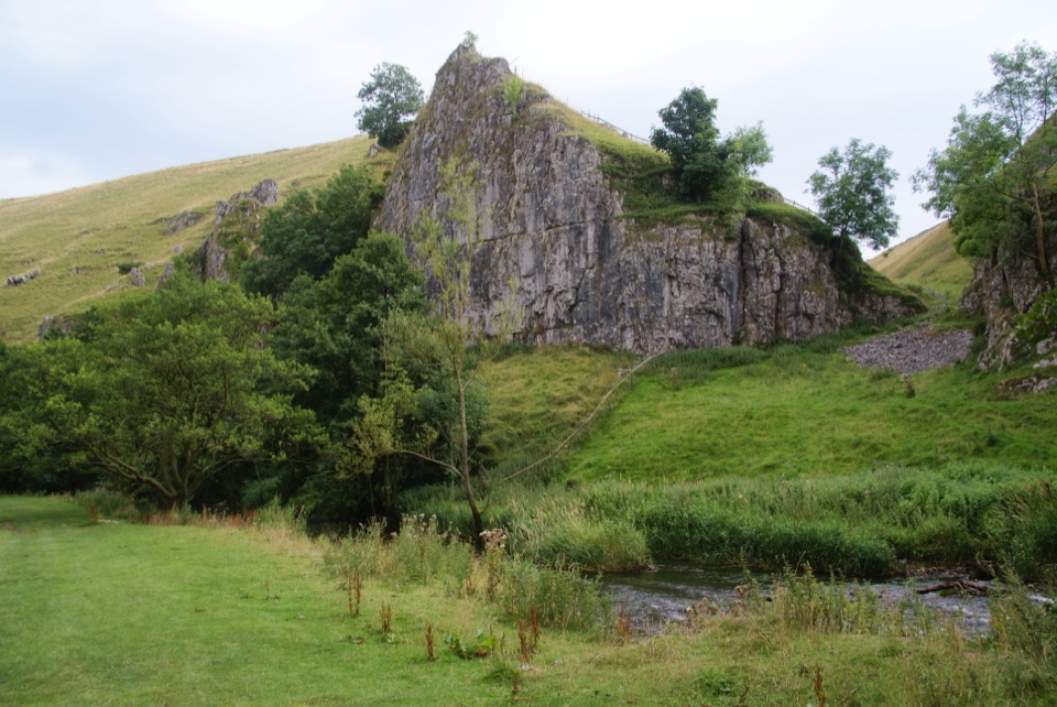 ModerateWolfscote Dale and Biggin Dale Circular8.7 km · 3.3 hr · 2.7 km awayFollow the Dove through three dales and two small caves
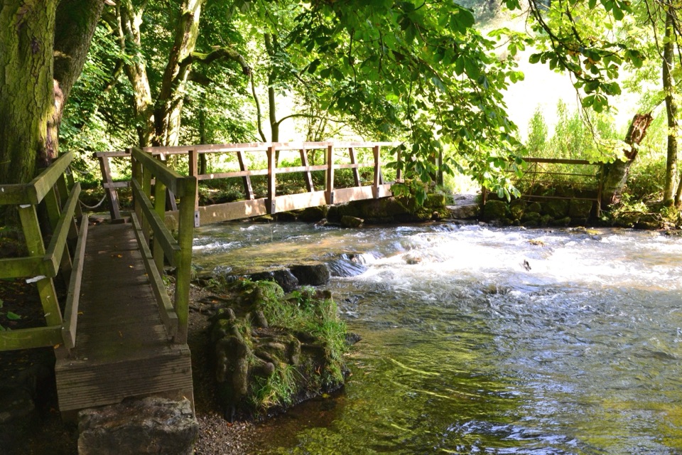 ModerateHartington – The Dales of the River Dove Walk8.9 km · 3 hr · 2.8 km awayA limestone dale loop linking riverside paths, bridges and open fields.
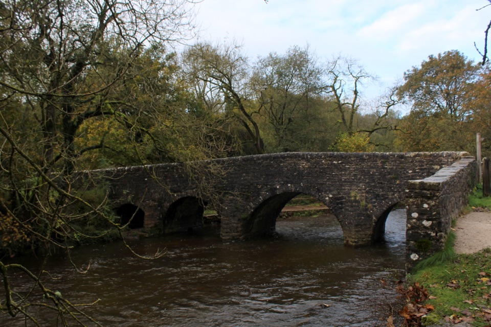 EasyPackhorses and Iron Horses4.3 km · 1.5 hr · 3.3 km awayA gentle valley loop past a packhorse bridge and railway tunnel
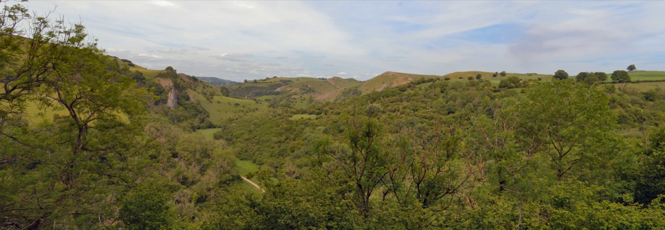 ModerateManifold Valley and Thor's Cave Circular Walk7.7 km · 3 hr · 4.2 km awayA limestone cave, river valley and steep return in one short loop.
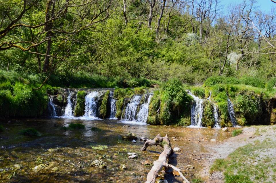 ChallengingSix Dales Circuit from Biggin41.5 km · 12 hr · 5.2 km awayA full day through six very different limestone dalesModerateLongnor to Pilsbury Castle9.5 km · 3.5 hr · 5.8 km awayA castle-earthwork loop through the Upper Dove Valley
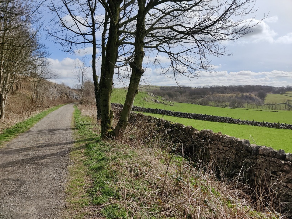 EasyParsley Hay Miles Without Stiles8 km · 2 hr · 6.2 km awayAn easy railway trail to a signal box, fields and picnic wood.
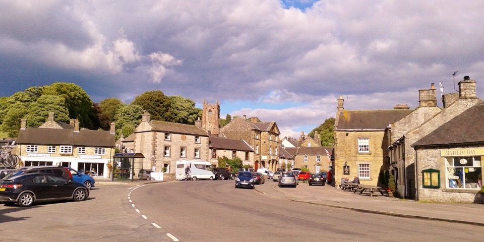 Sight · 2.8 km awayHartingtonDuck-pond square, a long-standing cheese shop, and footpaths into Dovedale
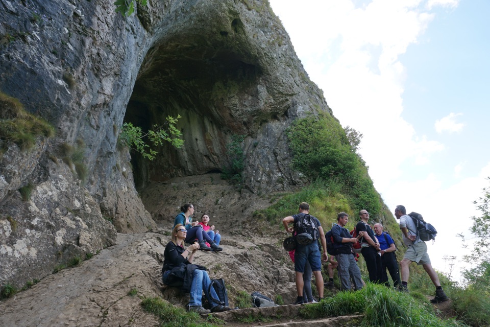 Sight · 4.4 km awayThor's CaveA gaping limestone cave mouth high above the Manifold Valley
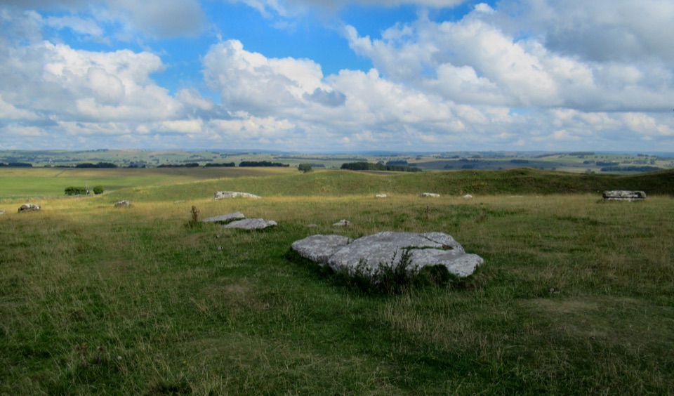 Sight · 7.2 km awayArbor Low Stone Circle and Gib Hill BarrowFallen limestone slabs ring a Neolithic henge with long Derbyshire views
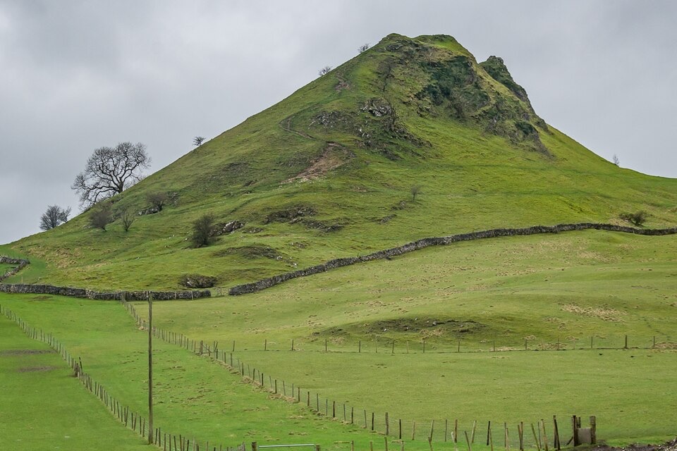 Sight · 8 km awayParkhouse HillFossil reef ridge with a steep scramble and Dragon's Back views
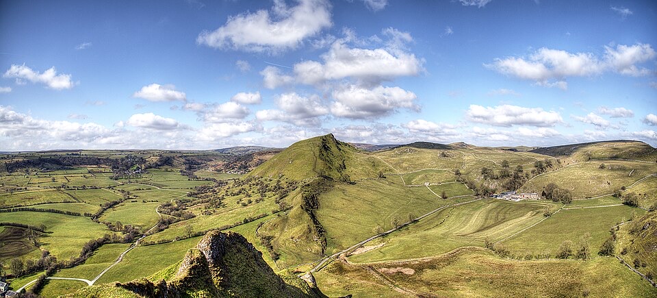 Sight · 8.6 km awayChrome HillSerrated limestone reef ridge rising like a dragon's back over pasture
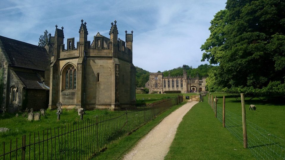 Sight · 9.1 km awayIlam ParkHall, church and park lawns framed by limestone hills above Dovedale
 Sight · 9.3 km awayDovedale Stepping StonesHop limestone blocks across the River Dove below Thorpe Cloud
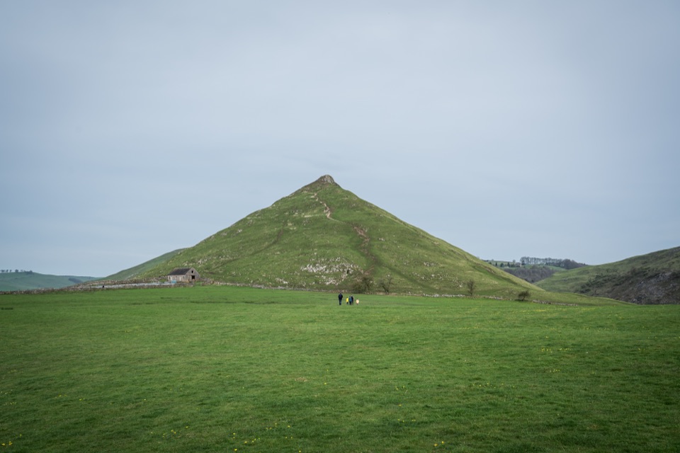 Sight · 9.7 km awayThorpe CloudA short, steep limestone climb to huge views over Dovedale
Parkwolf’s Peak District ranking
 The Roaches and Lud’s Church Circular from Hen CloudModerate · 12.2 km
 Mam Tor Circular WalkModerate · 4.8 km
 Castleton, Mam Tor & the Great Ridge WalkModerate · 10.5 km
 Stanage Edge from HathersageModerate · 10.6 km
 Kinder Scout Circular via Jacob’s LadderChallenging · 12.1 km
 Padley Gorge and Burbage Brook WalkEasy · 3.7 km
The audio tour guide for the drive, plus offline maps, trails, and wildlife heatmaps for when the signal drops.