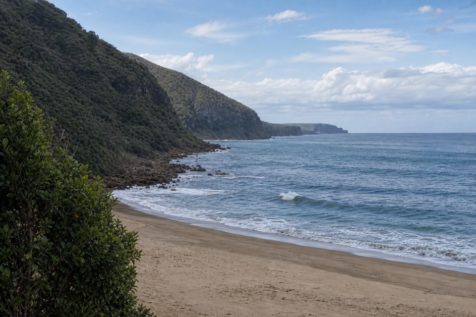
Bulgo Beach Track in Royal National Park

Royal National Park, NSW

Bulgo Beach Track

A steep descent to a quiet beach and old fishing shacks.

Length
1.8km
Time
1.5hr
Elev. change
158m
Difficulty
Moderate
  • High point 191 m

Hear the audio tour

Bulgo Beach Walking Access

Overview

About Bulgo Beach Track

Why go

  • Unusual beach-and-fishing-shack setting
  • Ocean views reward a short route

Heads up

  • Steep, strenuous return climb
  • Unsigned access and junctions
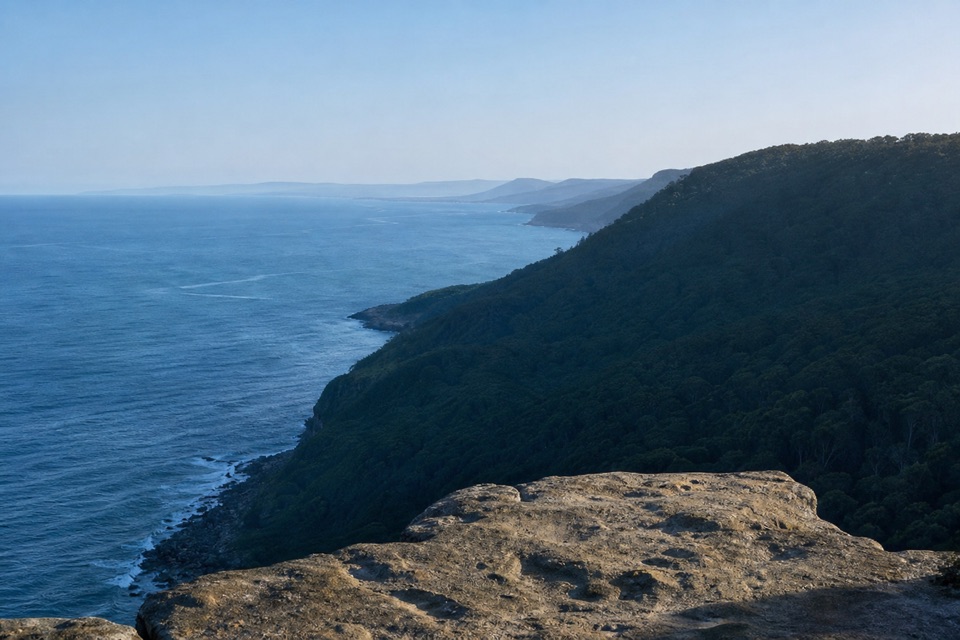
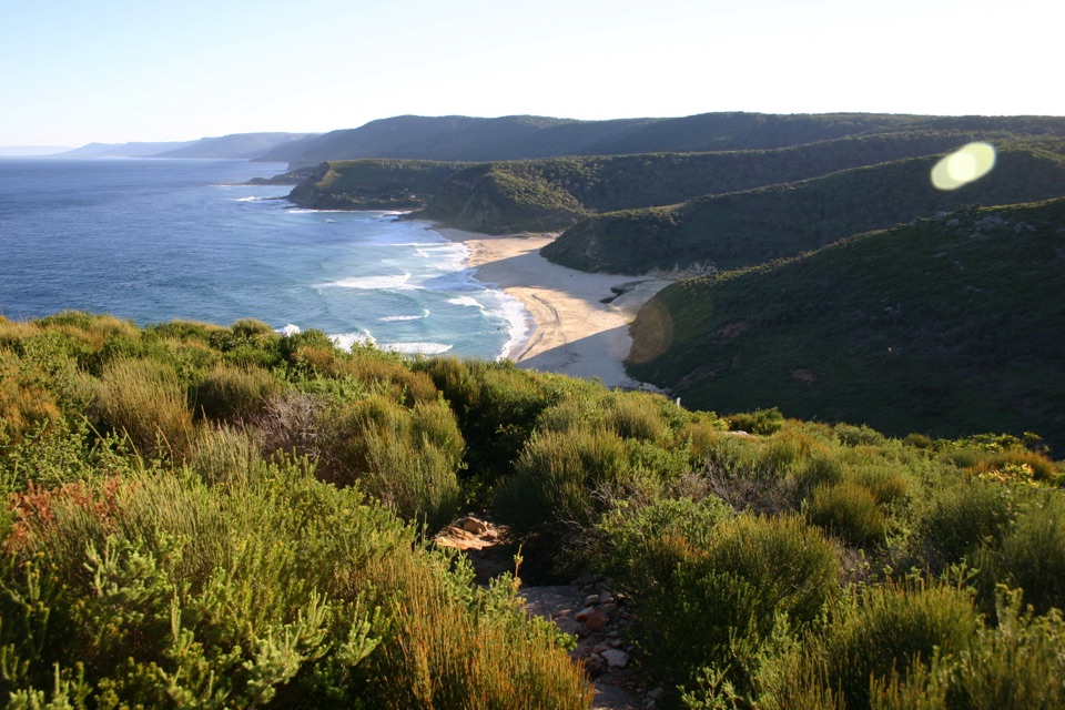
Bulgo Beach Track is an out-and-back from Lady Wakehurst Drive down to Bulgo Beach, a small cove below the forested coast. The mapped track is about half a mile each way; allow roughly 1.1 miles return and one to two hours with a stop at the shore. It is short by distance but steep enough that the climb back takes real effort. Go for the tucked-away beach and its old fishing shacks, not for a flat stroll.
Parkwolf’s verdictIs this the beach walk for you?

Map & elevation

The route

Loading the Royal map
Full map
Elevation33–191 m
TrailheadBulgo Track roadside start, Lady Wakehurst Drive, south of Otford Lookout-34.21425, 151.00653
Keep this map with you offline in the Parkwolf app

Plan your hike

Before you go

Parking

The track entrance is about 500 m south of Otford Lookout on Lady Wakehurst Drive. Otford Lookout is the nearest identified parking area; no dedicated Bulgo Track lot or capacity was confirmed. Walk on the roadside path and park only where signs allow.


Safety

The start is steep and dirt footing can be slippery when wet; the return is a strenuous climb. Formal public access is not clearly documented, so check on-site signs. The path reaches occupied private shacks: stay on the track and public beach and do not enter cabins or yards. The rocky, exposed shore is not a dependable swimming spot, and the tidal pool may be covered at high tide.

4 active Royal alerts

  • ClosureOvernight closures for deer-control operationsSpecified areas of Royal National Park are closed between sunset and sunrise from Monday to Thursday, excluding school holidays, through 18 December 2026 so NPWS can carry out deer-control operations.Official details
  • ClosureUnauthorised trail between East Heathcote and Waterfall closedThe unauthorised trail between East Heathcote and Waterfall is formally and physically closed; access is not permitted.Official details
See all 4 alerts
A park ranger sits on a dash-mounted phone, talking, as Parkwolf’s Tour Guide plays “Army Cutworm Moths: A Grizzly Bear Buffet” on Grand Loop Road below Dunraven Pass in Yellowstone
Parkwolf Tour GuideThe highest, rockiest slopes around here are a summer buffet for grizzly bears.

Royal Tour Guide

Your drive to Bulgo Beach Track, narrated.

Parkwolf is a GPS audio tour guide for Royal National Park. As you drive, it chimes in with what’s ahead: hidden gems, upcoming stops, history, geology, and wildlife, right through your car’s speakers.

Recorded for this trailhead

Bulgo Beach Walking Access
0:00 / 0:29
“You're coming up on the Bulgo Beach track entrance on Lady Wakehurst Drive. The steep return walk takes one to two hours, leading to a narrow beach below a fishing-shack settlement.”

Plays as you drive up to this trailhead in the Parkwolf Royal Tour Guide.

More stories near here in the app

  • Otford Lookout and the Werrong Walk
  • Bald Hill Views and Hargrave’s Kites
  • The Banksia's Seed Bank
  • Why It’s a Cabbage-Tree Palm
  • 43 audio storiesacross Royal’s roads, triggered by GPS as you drive
  • Wildlife heatmapsfor Humpback Whale, White-bellied Sea-Eagle, Koala, and 13 more
  • Works offlinemaps, 69 trails, 58 places, and audio download before you lose signal
  • CarPlay readysimple controls built for the drive
★★★★★
“Fantastic app with many points of information… It’s great to just turn on while you’re driving and it gives you an audio tour of the national Park. We love it!!!!”
JMJamesApp Store review
Download Parkwolf on the App StoreGet Parkwolf on Google Play

4.7 from 8,600+ ratings

Trail guide

Hiking Bulgo Beach Track

Down through the forest, then back upThe dirt path drops steeply at first, eases for a while, then reaches an unsigned fork; keep…

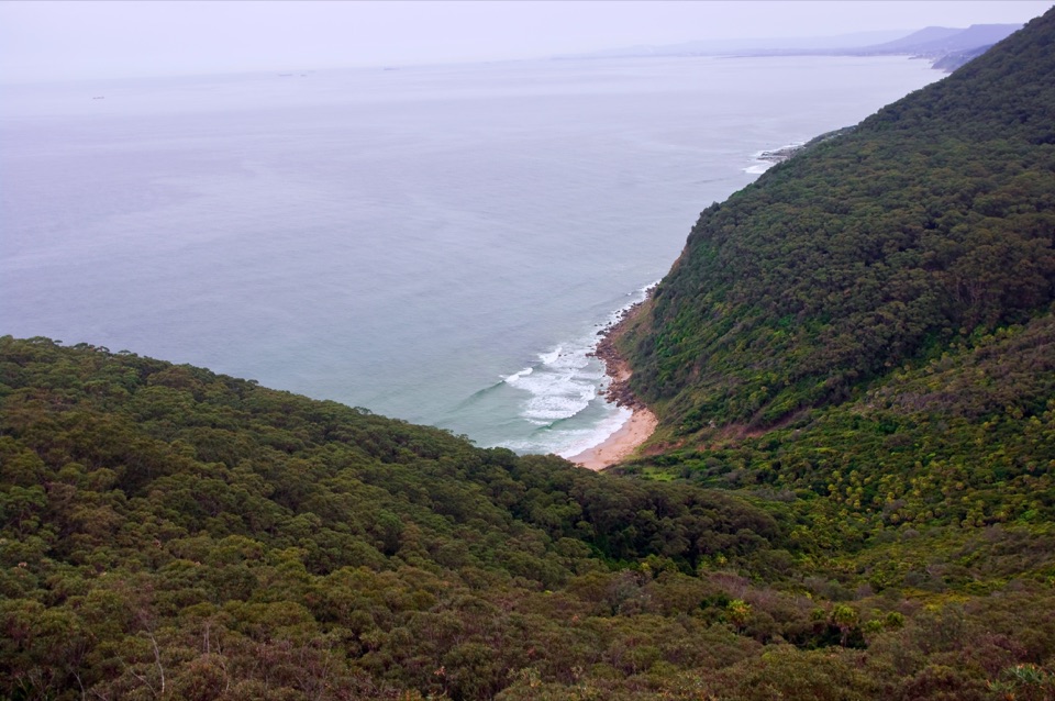
The dirt path drops steeply at first, eases for a while, then reaches an unsigned fork; keep left and downhill toward the beach. As the forest thins, the ocean and the roofs of the shack village come into view. The track reaches the shore through the settlement. Return the same way: the uphill section is the hard part, and the dirt can be slippery when damp.

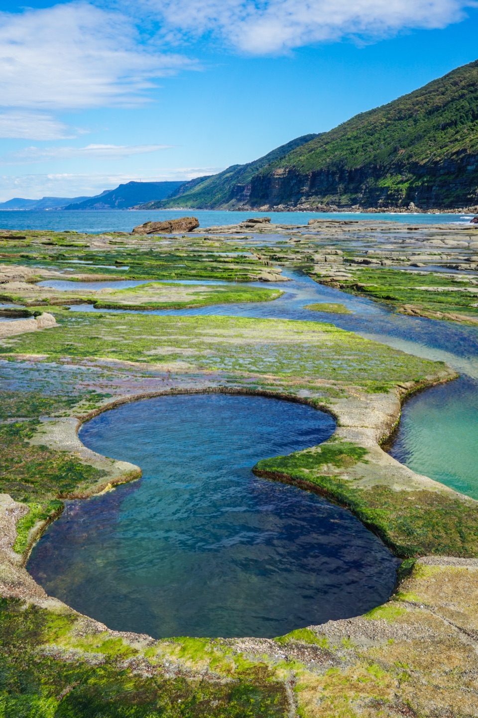
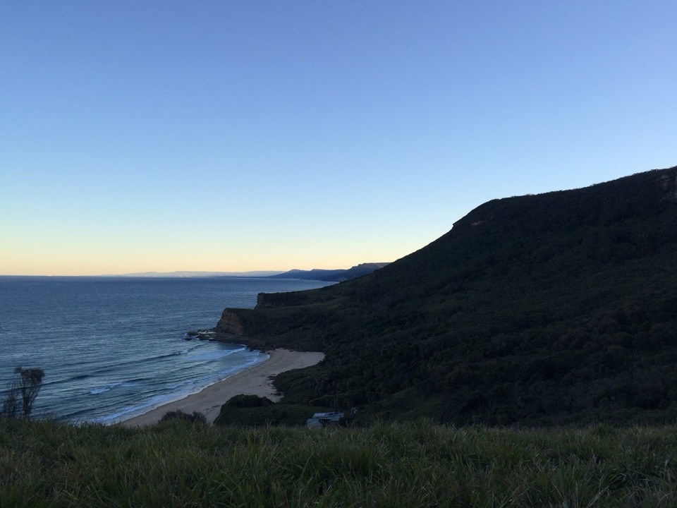
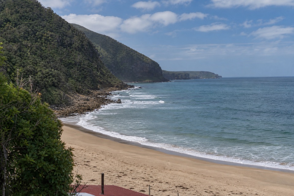
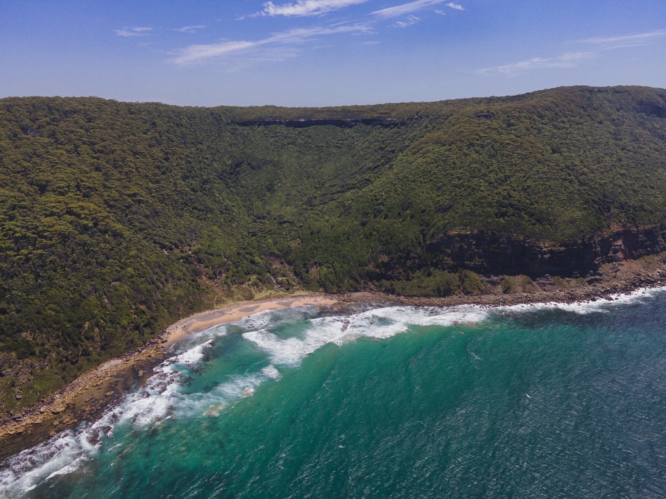
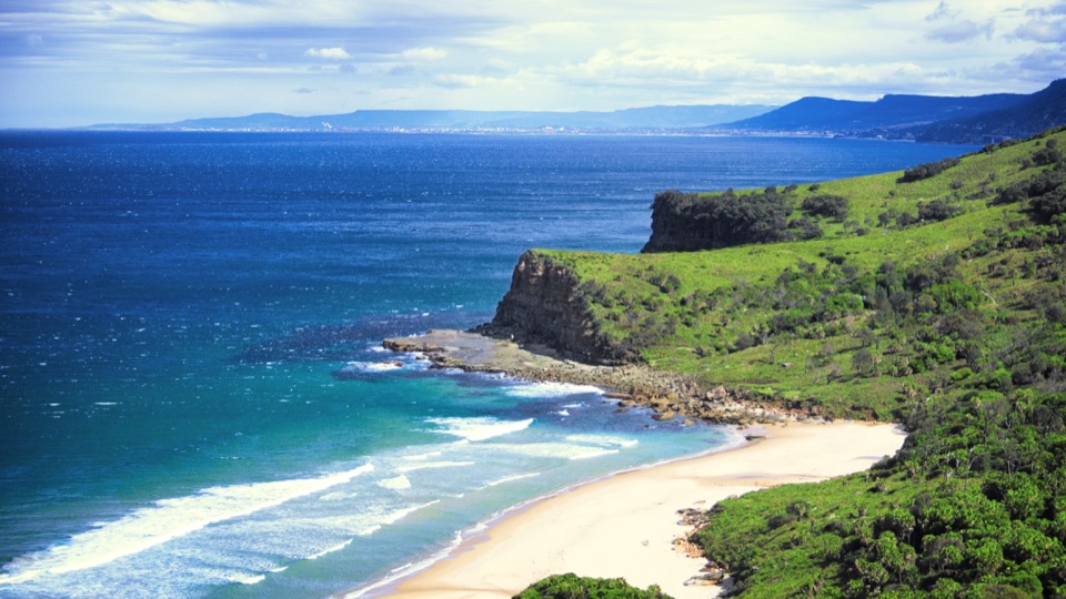
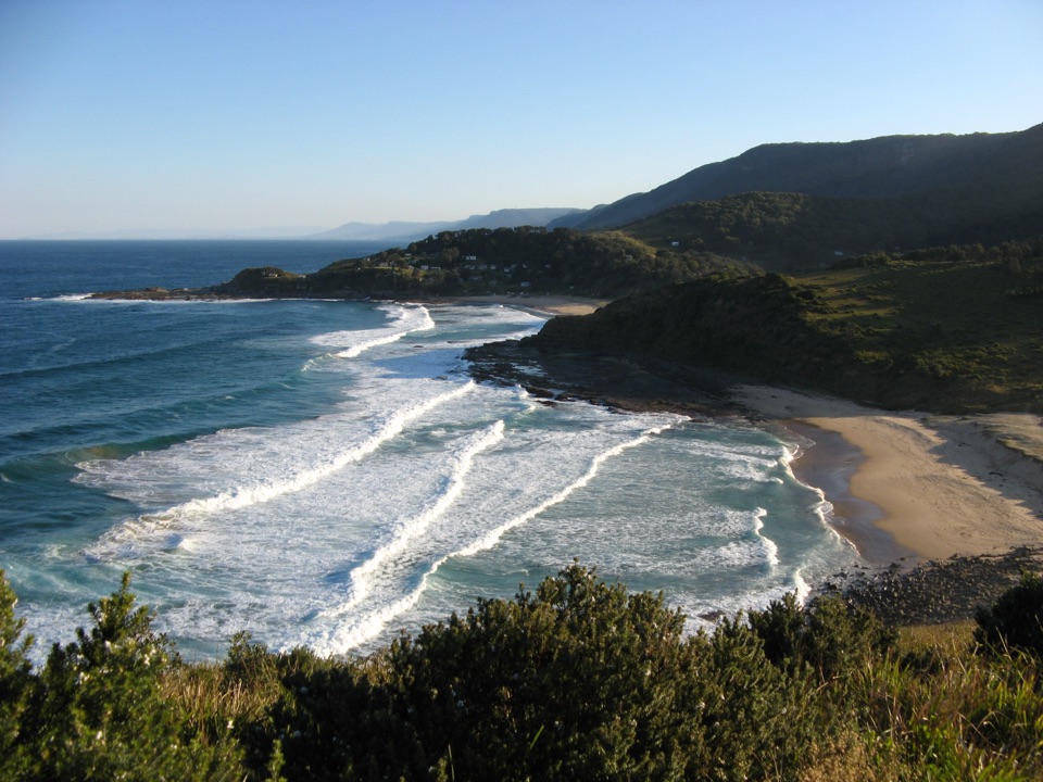
Beach, pool and private shacksBulgo is a narrow, coarse-sand beach with a rocky shelf below a forested headland.

Bulgo is a narrow, coarse-sand beach with a rocky shelf below a forested headland. An ocean pool at the southern end can be hidden at high tide. Surf and rock make this a poor place to assume a safe swim. The track comes out among occupied fishing shacks; stay on the track and beach, and give cabins and yards privacy. There are no confirmed facilities at the beach, so bring what you need. For a photo, frame the shoreline with the green headland; avoid close views into private cabins.

Is this the beach walk for you?The entrance is about 500 metres south of Otford Lookout.

The entrance is about 500 metres south of Otford Lookout. Its formal public access is not clearly documented, so check signs before setting off and do not continue past any access restriction.

Wildlife

Wildlife in Royal

All Royal wildlife maps

Sighting maps show where each species has been reported across Royal. Wildlife moves, so no sighting is guaranteed.

Keep exploring

Near Bulgo Beach Track

See it all on the map

Trails that start nearby

Places near the trailhead

Parkwolf’s Royal ranking

Top-rated trails in Royal

All 69 trails
  1. 1The Coast TrackChallenging · 27 km
  2. 2Wattamolla to Eagle Rock and Curracurrong FallsModerate · 8.5 km
  3. 3Jibbon Loop TrackEasy · 5.2 km
  4. 4Palm Jungle Loop TrackChallenging · 8.2 km
  5. 5Curra Moors Loop TrackModerate · 10 km
  6. 6Wedding Cake Rock TrackModerate · 5.6 km

Take Parkwolf to Royal.

The audio tour guide for the drive, plus offline maps, trails, and wildlife heatmaps for when the signal drops.

4.7 from 8,600+ ratings

Download Parkwolf on the App StoreGet Parkwolf on Google Play