Overview
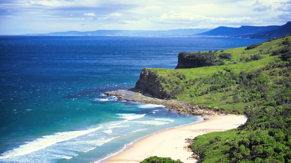
About Bulgo Beach
Why stop
- The cabin settlement and tidal pool give this beach an unusual sense of place.
Heads up
- The steep return climb and unpatrolled, rocky surf limit easy swimming.
Map
Where it is

The highest, rockiest slopes around here are a summer buffet for grizzly bears.
Royal Tour Guide
Your drive to Bulgo Beach, narrated.
Parkwolf is a GPS audio tour guide for Royal National Park. As you drive, it chimes in with what’s ahead: hidden gems, upcoming stops, history, geology, and wildlife, right through your car’s speakers.
See the Royal audio tourRecorded for this place
Bulgo Beach Walking Access“You're coming up on the Bulgo Beach track entrance on Lady Wakehurst Drive. The steep return walk takes one to two hours, leading to a narrow beach below a fishing-shack settlement.”
Plays as you drive up to Bulgo Beach in the Parkwolf Royal Tour Guide.
More stories near here in the app
- Otford Lookout and the Werrong Walk
- Bald Hill Views and Hargrave’s Kites
- The Banksia's Seed Bank
- Why It’s a Cabbage-Tree Palm
- 43 audio storiesacross Royal’s roads, triggered by GPS as you drive
- Wildlife heatmapsfor Humpback Whale, White-bellied Sea-Eagle, Koala, and 13 more
- Works offlinemaps, 69 trails, 58 places, and audio download before you lose signal
- CarPlay readysimple controls built for the drive
“Fantastic app with many points of information… It’s great to just turn on while you’re driving and it gives you an audio tour of the national Park. We love it!!!!”


Guide
More about Bulgo Beach
A steep walk to a small beachBulgo Beach is a narrow strip of sand beneath the wooded face of Garawarra Ridge near Otford,…
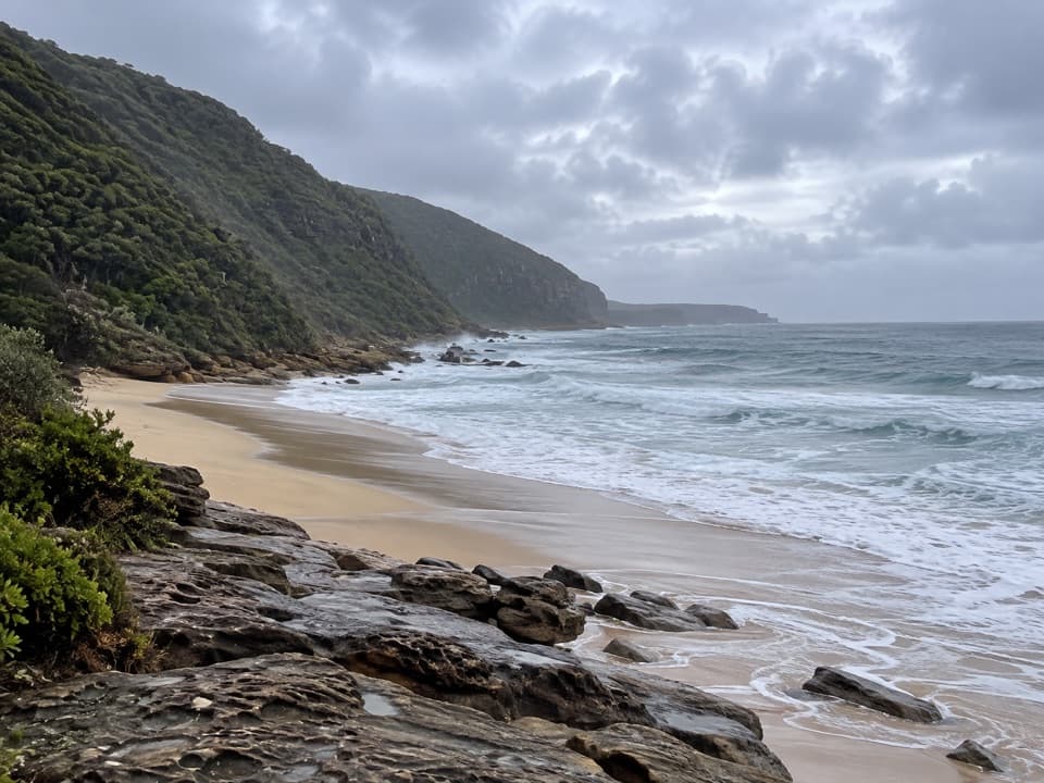
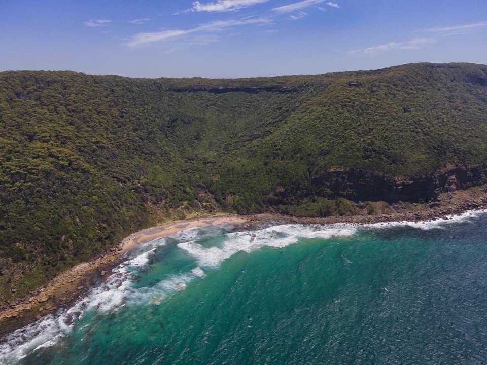
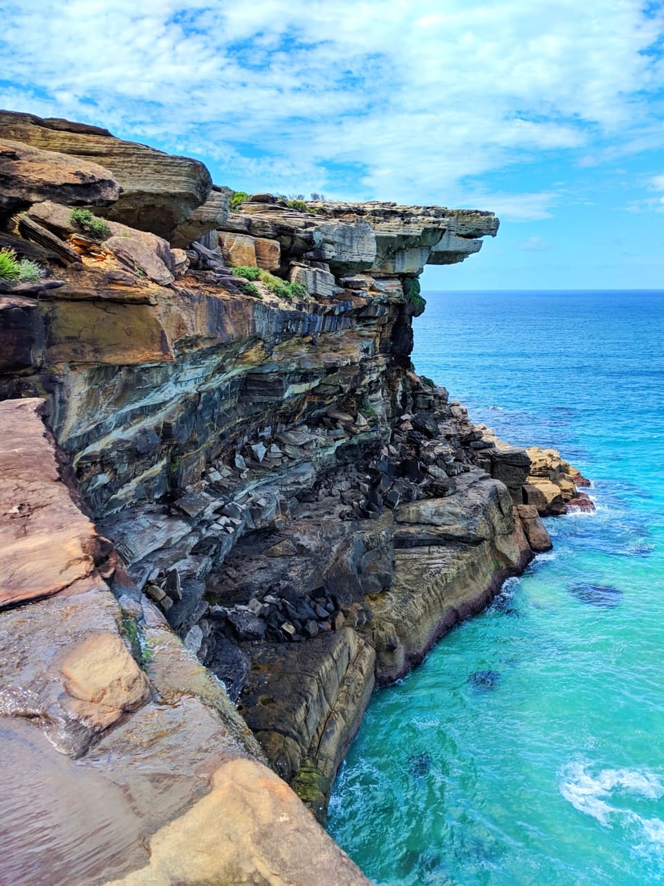
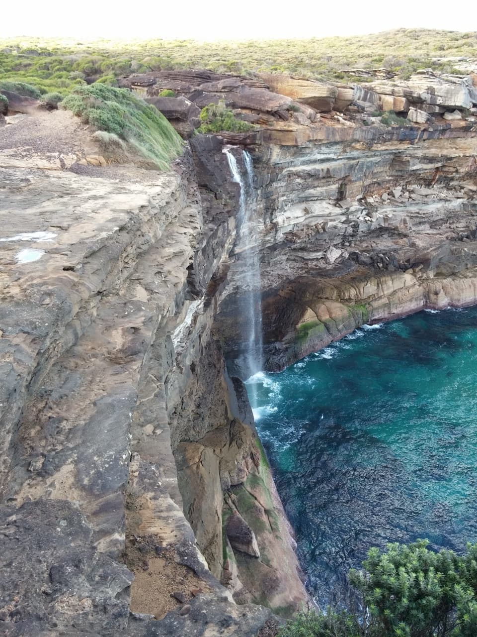
Bulgo Beach is a narrow strip of sand beneath the wooded face of Garawarra Ridge near Otford, with a small cabin community tucked against the slope. Go for the unusual setting and the walk, not for an easy swim. Reaching the beach means a steep descent of about 1 km from Lady Wakehurst Drive; visitors put the downhill walk at about 20–30 minutes, and the return takes more effort.
The track is part of the visitThe path winds down through open woodland, coastal heath and pockets of littoral rainforest.
The path winds down through open woodland, coastal heath and pockets of littoral rainforest. Openings in the vegetation reveal the cabins and ocean as you drop toward the shore. Expect a steep climb back, and use care after rain: visitors have reported slippery sections. There is a parking area by the road access, and you can also reach the track from Otford station with a connecting walk. Reports say there are no toilets or shelter on the beach, and no food outlet; take what you need and carry your rubbish back.
A cabin community tied to local fishingOral history places Helensburgh residents camping and fishing at Bulgo by 1915.
Oral history places Helensburgh residents camping and fishing at Bulgo by 1915. A conservation plan counts about 200 cabins across Bulgo and three nearby coastal settlements; most were built from the mid-1930s to mid-1950s and are occupied under licence. The cabins are private homes, so enjoy the community from public tracks and the beach rather than wandering among them.
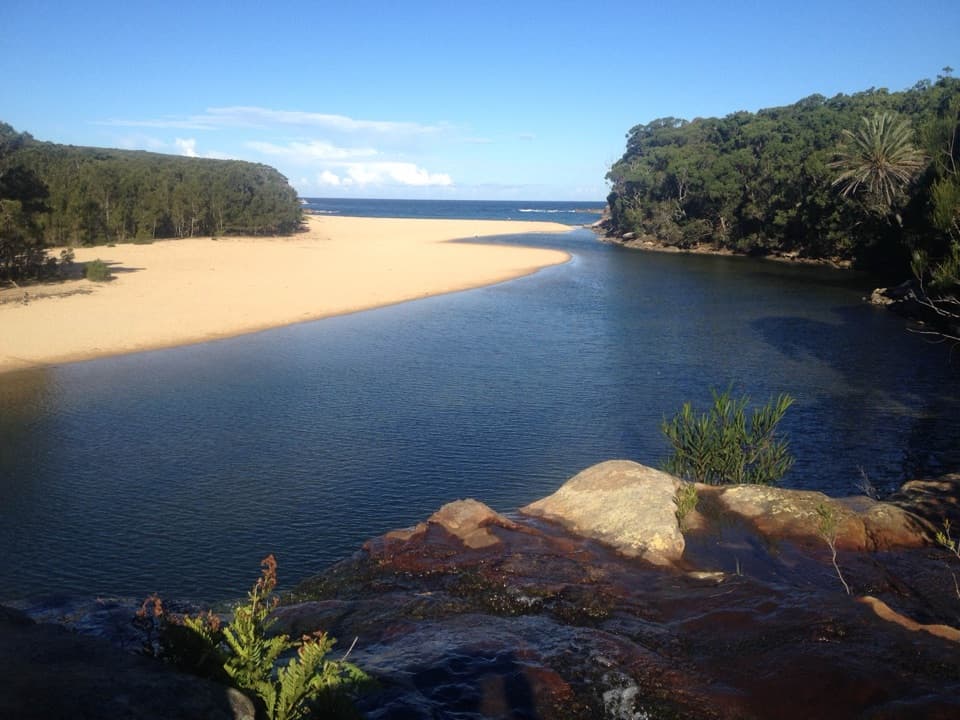
A tidal pool, not a patrolled swim beachAt the southern end, a pool was cut into the rock platform in the 1930s to give local children…
At the southern end, a pool was cut into the rock platform in the 1930s to give local children calmer bathing water and let fishers store their catch. It can disappear at high tide, so check the tide if the pool is your reason to come. The surf beach is unpatrolled, with rocky, slippery footing and a sharp drop; check current surf and tide conditions before entering the water. For a photo, pause at an opening on the descent for the beach and cabins beneath the ridge, or frame the pool against the sea when the tide leaves it exposed.
Wildlife
Wildlife in Royal
 56 sightingsHumpback WhaleMost seen around 11 AMSighting map
 70 sightingsWhite-bellied Sea-EagleMost seen around 9 AMSighting map
 12 sightingsKoalaMost seen around 6 PMSighting map
 34 sightingsJavan RusaMost seen around 6 PMSighting map
 70 sightingsShort-beaked EchidnaMost seen around 5 PMSighting map
 11 sightingsRed FoxMost seen around 5 PMSighting map
Sighting maps show where each species has been reported across Royal. Wildlife moves, so no sighting is guaranteed.