Parking
Start and finish at Otford Train Station. Follow the Station Road and Fanshawe Road access uphill to Otford Lookout; the circuit closes back through this same approach.
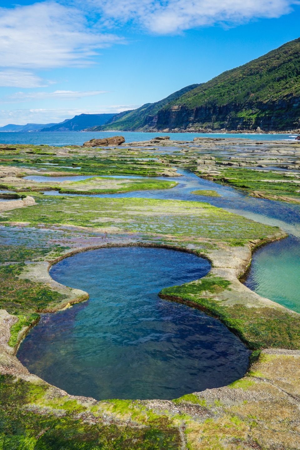
Royal National Park, NSW
A hard Otford loop through Palm Jungle to tide-exposed coastal pools.
Overview
Map & elevation
Plan your hike

The highest, rockiest slopes around here are a summer buffet for grizzly bears.
Royal Tour Guide
Parkwolf is a GPS audio tour guide for Royal National Park. As you drive, it chimes in with what’s ahead: hidden gems, upcoming stops, history, geology, and wildlife, right through your car’s speakers.
Recorded for this area
Bulgo Beach Walking Access“You're coming up on the Bulgo Beach track entrance on Lady Wakehurst Drive. The steep return walk takes one to two hours, leading to a narrow beach below a fishing-shack settlement.”
Plays on the road 0.4 km from the trailhead in the Parkwolf Royal Tour Guide.
More stories near here in the app
“Fantastic app with many points of information… It’s great to just turn on while you’re driving and it gives you an audio tour of the national Park. We love it!!!!”


Trail guide
This is a roughly 15.7 km (9.8 mi) loop from Otford Train Station to Figure Eight Pools and back, through Palm Jungle and over Burgh Ridge. Allow about 6 to 7 hours. The 13.4 km base circuit excludes the out-and-back pool spur, so only add that exposed section when the tide and swell are safe.
From the station, climb by the road and steps to Otford Lookout, then follow the clifftop path before turning inland along the ridge. The route climbs through ferns and open forest, then drops steeply through Palm Jungle, where cabbage palms, vines and fallen branches crowd the narrow tread. It eventually opens onto grassy slopes and the coast at Burning Palms.
The track leaves the beach and rounds rocky headlands to a broad sandstone shelf where the natural pools sit. These are natural pools in the sandstone shelf; several rounded basins have joined over time to make the distinctive figure-eight shape. The open platform is the serious hazard here. Go only at low tide and very low swell, check the wave-risk forecast, and turn back if waves are reaching the walking line. Conditions can change quickly; skip the spur if there is any doubt.
From Burning Palms, the circuit climbs inland over Burgh Ridge toward Garawarra Farm. It is a sustained, steep climb, with stretches of open coast views before the route returns through forest on wide management tracks and descends to Otford Lookout. The old beach cabins at Burning Palms are a memorable pause on the shore, but there is no food or water service there. From the exposed clifftops, winter walkers may spot migrating whales offshore.
This is a long Grade 4 walk with rough, uneven track, steep descents and climbs, and a tide-dependent rock-platform detour. Carry enough water and food for the whole circuit. There are toilets at Garawarra Farm; none at the pools. The route is not suitable for prams, and ordinary pets are not permitted in the park.
For a shorter way through Palm Jungle, the separate Palm Jungle loop starts at Garawarra Farm and is about 10 km. It shares some coastal scenery but does not begin or end at Otford station, so treat it as a different walk rather than a shortcut on this circuit.
Wildlife
 56 sightingsHumpback WhaleMost seen around 11 AMSighting map
 68 sightingsWhite-bellied Sea-EagleMost seen around 9 AMSighting map
 12 sightingsKoalaMost seen around 6 PMSighting map
 33 sightingsJavan RusaMost seen around 6 PMSighting map
 69 sightingsShort-beaked EchidnaMost seen around 5 PMSighting map
 11 sightingsRed FoxMost seen around 5 PMSighting map
Sighting maps show where each species has been reported across Royal. Wildlife moves, so no sighting is guaranteed.
Keep exploring
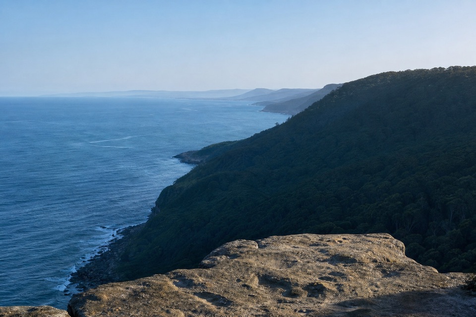 ChallengingOtford to Helensburgh12.5 km · 5 hr · At the trailheadA hard walk linking two stations over cliffs, creeks and forest ridges.
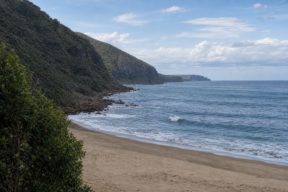 ModerateBulgo Beach Track1.8 km · 1.5 hr · 0.4 km awayA steep descent to a quiet beach and old fishing shacks.ChallengingOtford to Figure Eight Pools via Burning Palms14.5 km · 6.5 hr · 0.5 km awayPalm forest, coastal cliffs, and tidal pools on the rock shelf
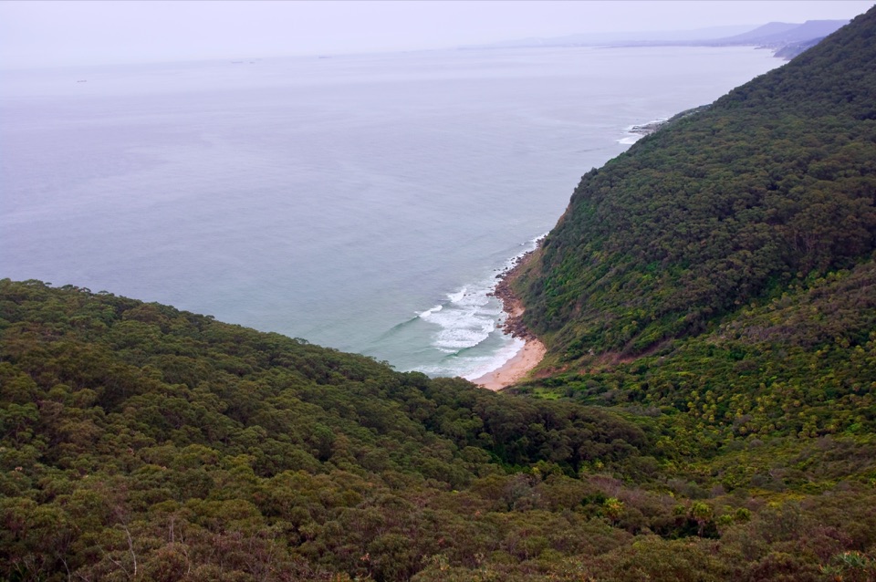 ChallengingWerrong Beach track3.2 km · 2 hr · 0.5 km awayA steep, rough descent drops to a small coastal cove.ChallengingFigure Eight Pools Walk6 km · 4 hr · 4.6 km awayA steep descent to tidal pools, with a rough rock-shelf finish.
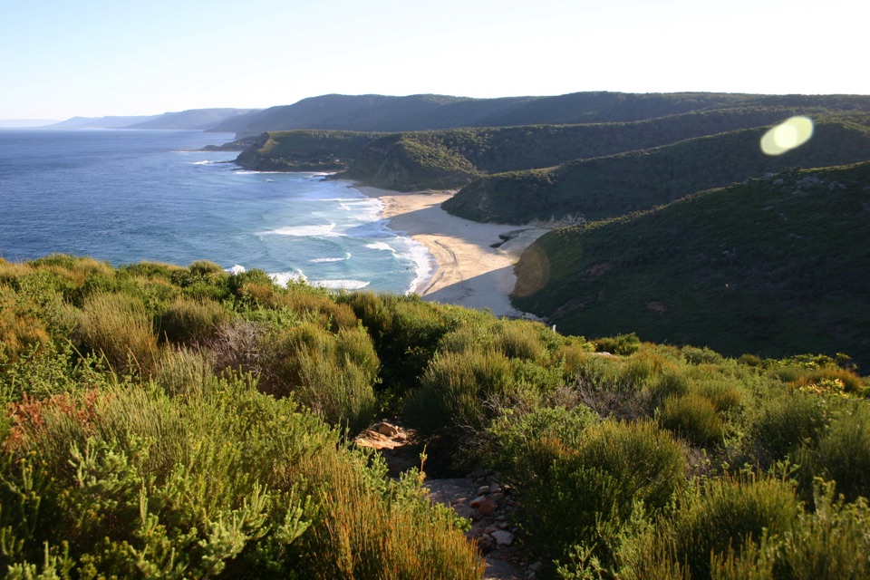 ModerateGarawarra Farm to Garie Beach4 km · 1.5 hr · 4.6 km awayA steep forest descent opens onto Garie Beach and the coast.
 ChallengingPalm Jungle Loop Track8.2 km · 4.5 hr · 4.7 km awayFrom cliff views to a humid palm jungle, this loop stays wild.
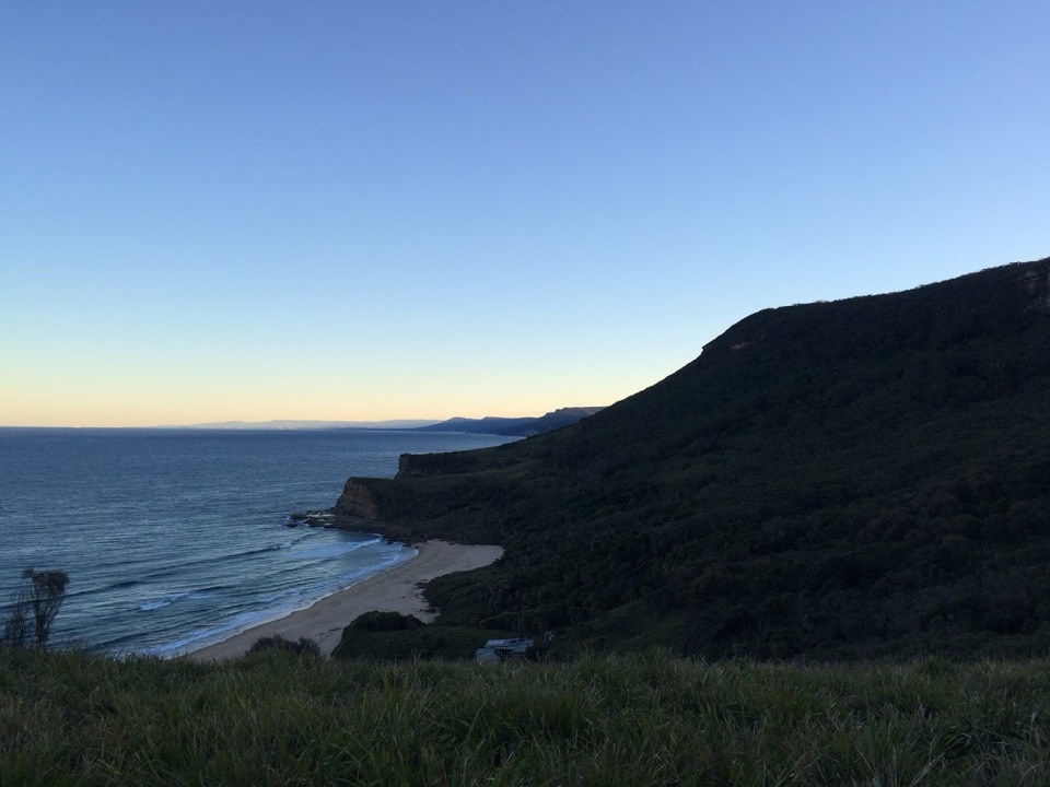 ModerateBurning Palms Beach via Burgh Ridge3.5 km · 2 hr · 4.7 km awayA steep ridge descent to Burning Palms Beach and back.
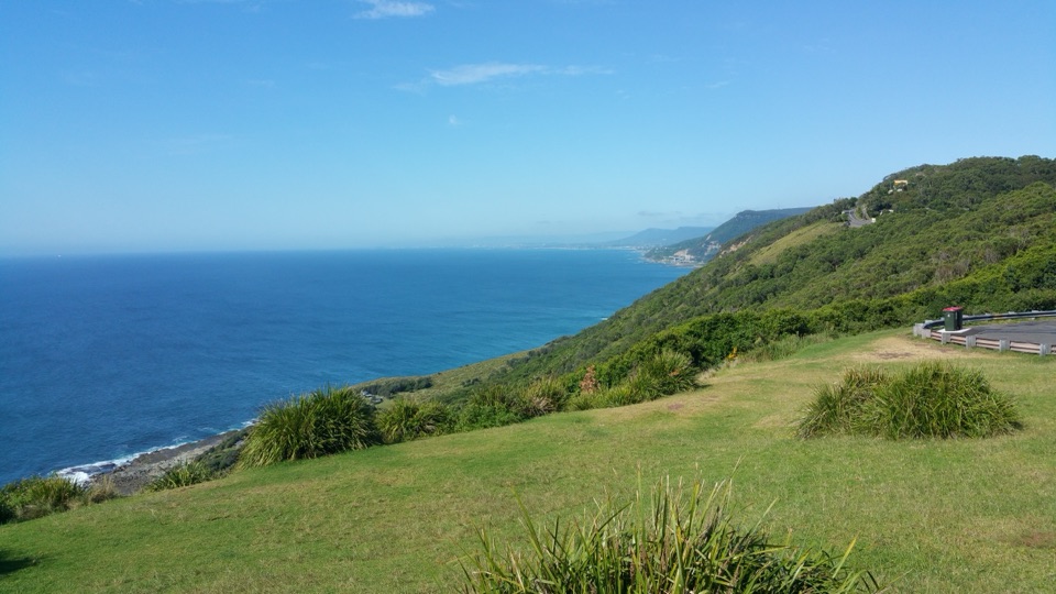 Sight · 0.5 km awayOtford LookoutA roadside coastal view that reaches Sea Cliff Bridge on clear days.
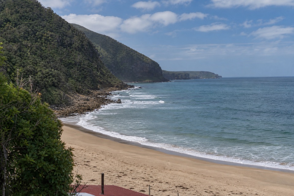 Beach · 0.7 km awayBulgo BeachA steep walk ends at a beach framed by old coastal cabins.
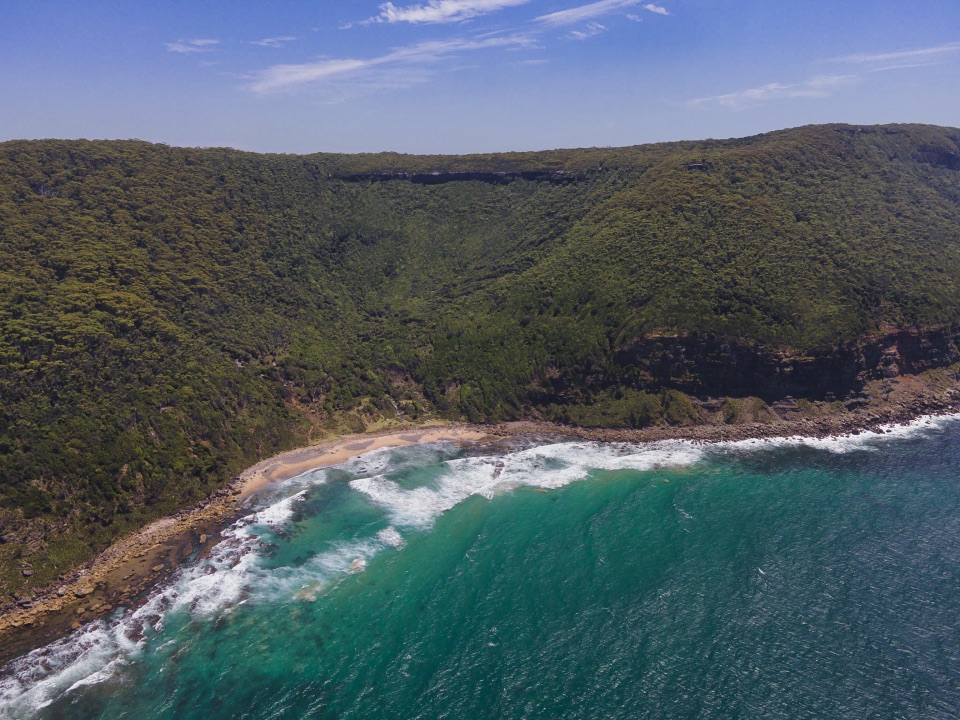 Beach · 1.6 km awayWerrong BeachA quiet, clothing-optional cove reached by a steep coastal hike.
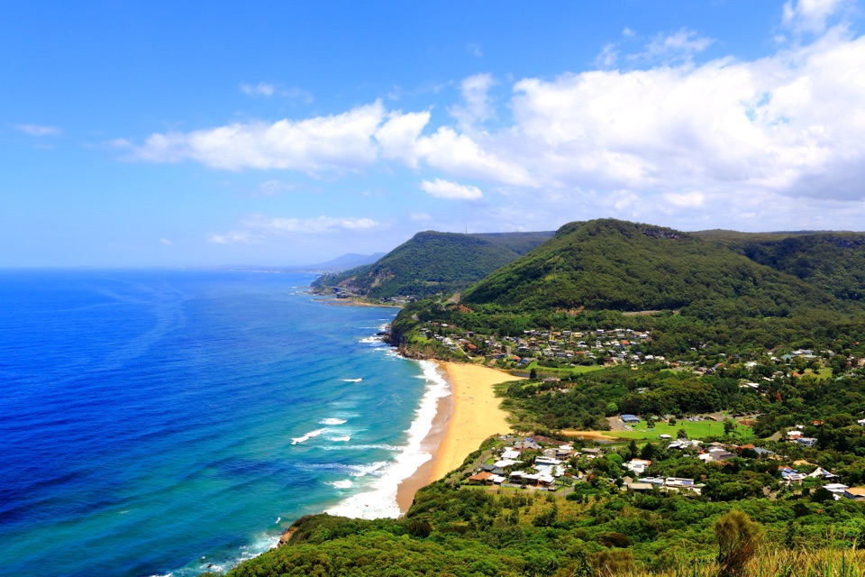 Sight · 1.7 km awayBald Hill LookoutA coastal panorama, Sea Cliff Bridge and a pioneering flight story.
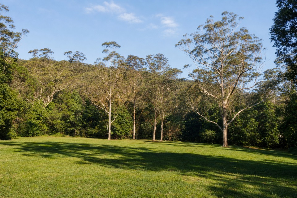 Picnic area · 3.2 km awayRed Cedar Flat Picnic AreaA handy grassy pause before nearby loop walks.Sight · 3.5 km awayFigure Eight PoolsTwin-lobed pools at the end of a serious coastal hike.
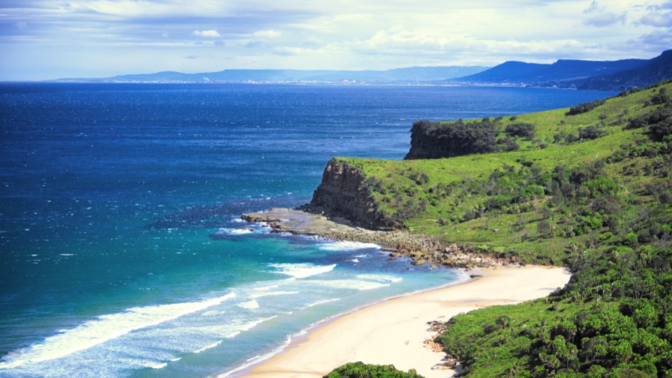 Beach · 4.4 km awayBurning Palms BeachA walk-in beach framed by rugged headlands.
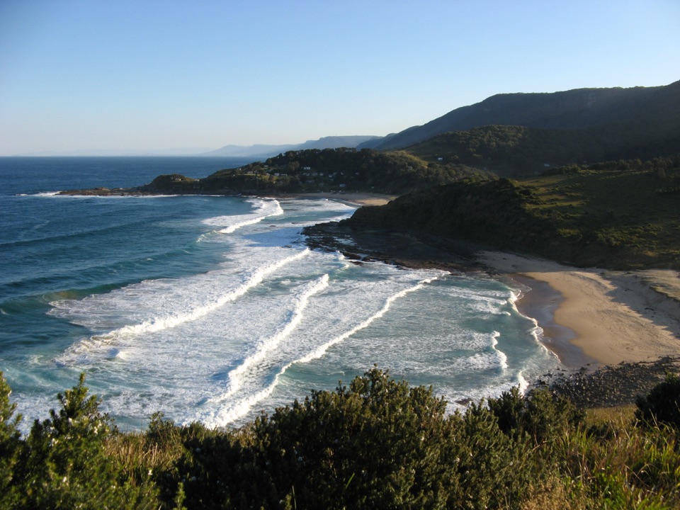 Beach · 5.4 km awaySouth Era BeachA walk-in shore with a rare, tightly clustered cabin community.
Parkwolf’s Royal ranking

The audio tour guide for the drive, plus offline maps, trails, and wildlife heatmaps for when the signal drops.




