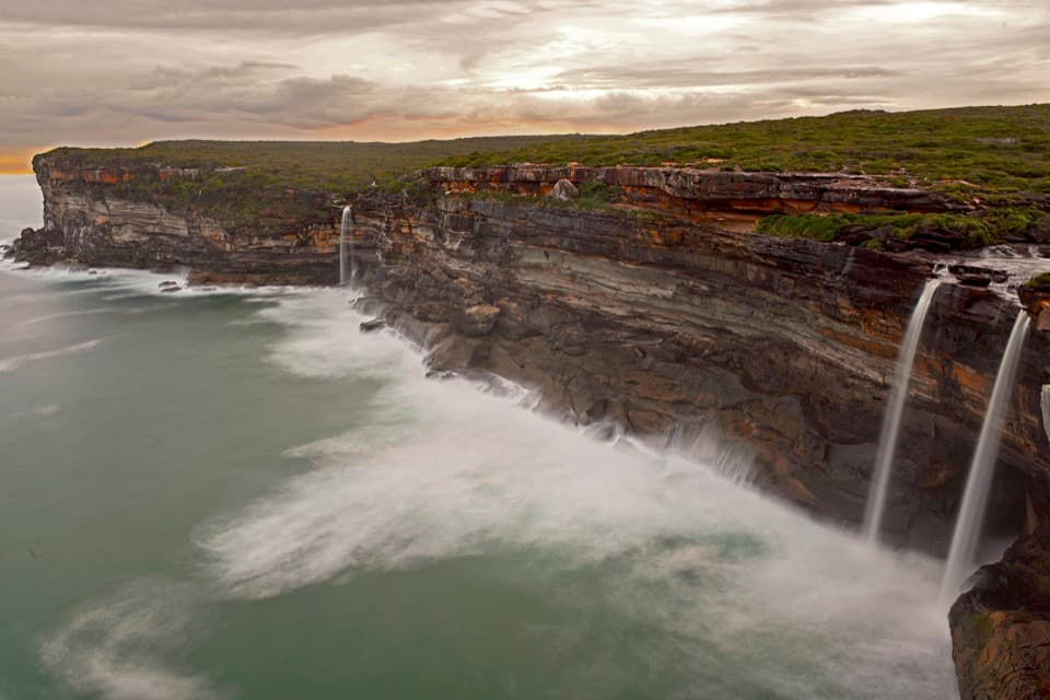
Parking
Start at Otford Lookout, the published access for the walk. Parking, toilets and picnic facilities are available there.

Royal National Park, NSW
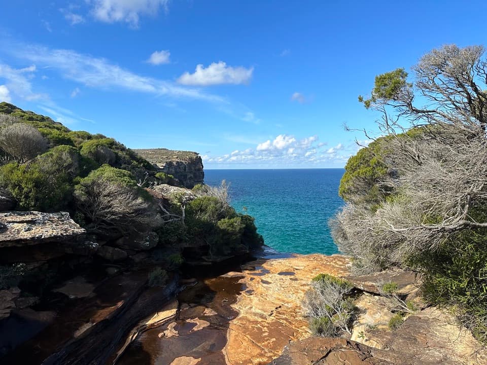
A steep, rough descent drops to a small coastal cove.
Overview
Map & elevation
Plan your hike

The highest, rockiest slopes around here are a summer buffet for grizzly bears.
Royal Tour Guide
Parkwolf is a GPS audio tour guide for Royal National Park. As you drive, it chimes in with what’s ahead: hidden gems, upcoming stops, history, geology, and wildlife, right through your car’s speakers.
See the Royal audio tourRecorded for this trailhead
Otford Lookout and the Werrong Walk“You're nearing Otford Lookout, where the coast opens out beyond the roadside. This is a good stop if you want a wide ocean view without committing to a hike.”
Plays as you drive up to this trailhead in the Parkwolf Royal Tour Guide.
More stories near here in the app
“Fantastic app with many points of information… It’s great to just turn on while you’re driving and it gives you an audio tour of the national Park. We love it!!!!”


Trail guide
This is a Grade 5 out-and-back from Otford Lookout to Werrong Beach. The mapped route is about 3.2 km return; published distances range up to 4 km, so leave room for the longer estimate. Allow around 2 hours. It is a good choice if you want a rugged beach and are comfortable on steep, uneven ground; it is not an easy-access beach walk.
Follow the shared Coast Track approach from the lookout. About 300 m in, take the signed branch for Werrong Beach. There is a short climb early, then the narrower path drops through rocks and roots into cabbage tree palm rainforest. The trail is rough, with many steps and limited signs. The final descent to the sand is exceptionally steep and can be slippery; decide before that drop whether you are comfortable going down and climbing back up.
The reward is a small sandy cove beneath a densely forested headland, with surf breaking along the shore. A grassy shelf above the beach gives a view across the sand and headland before you commit to the last descent.
Werrong is a designated nude beach, and swimming is prohibited because of strong rips and currents. Dogs are not permitted apart from certified assistance animals. Otford Lookout has parking, toilets and picnic facilities; carry drinking water for the walk.
Wildlife
 56 sightingsHumpback WhaleMost seen around 11 AMSighting map
 70 sightingsWhite-bellied Sea-EagleMost seen around 9 AMSighting map
 12 sightingsKoalaMost seen around 6 PMSighting map
 34 sightingsJavan RusaMost seen around 6 PMSighting map
 70 sightingsShort-beaked EchidnaMost seen around 5 PMSighting map
 11 sightingsRed FoxMost seen around 5 PMSighting map
Sighting maps show where each species has been reported across Royal. Wildlife moves, so no sighting is guaranteed.
Keep exploring
 ChallengingOtford to Figure Eight Pools via Burning Palms14.5 km · 6.5 hr · At the trailheadPalm forest, coastal cliffs, and tidal pools on the rock shelf
 ChallengingOtford to Helensburgh12.5 km · 5 hr · 0.5 km awayA hard walk linking two stations over cliffs, creeks and forest ridges.ChallengingOtford to Figure Eight Pools Circuit15.7 km · 6.5 hr · 0.5 km awayA hard Otford loop through Palm Jungle to tide-exposed coastal pools.
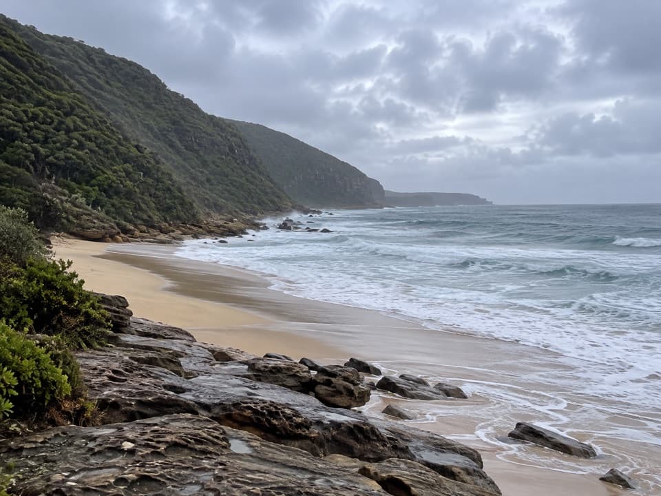 ModerateBulgo Beach Track1.8 km · 1.5 hr · 0.5 km awayA steep descent to a quiet beach and old fishing shacks.ChallengingFigure Eight Pools Walk6 km · 4 hr · 4.4 km awayA steep descent to tidal pools, with a rough rock-shelf finish.
 ModerateGarawarra Farm to Garie Beach4 km · 1.5 hr · 4.4 km awayA steep forest descent opens onto Garie Beach and the coast.
 ChallengingPalm Jungle Loop Track8.2 km · 4.5 hr · 4.4 km awayFrom cliff views to a humid palm jungle, this loop stays wild.
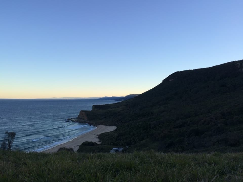 ModerateBurning Palms Beach via Burgh Ridge3.5 km · 2 hr · 4.4 km awayA steep ridge descent to Burning Palms Beach and back.
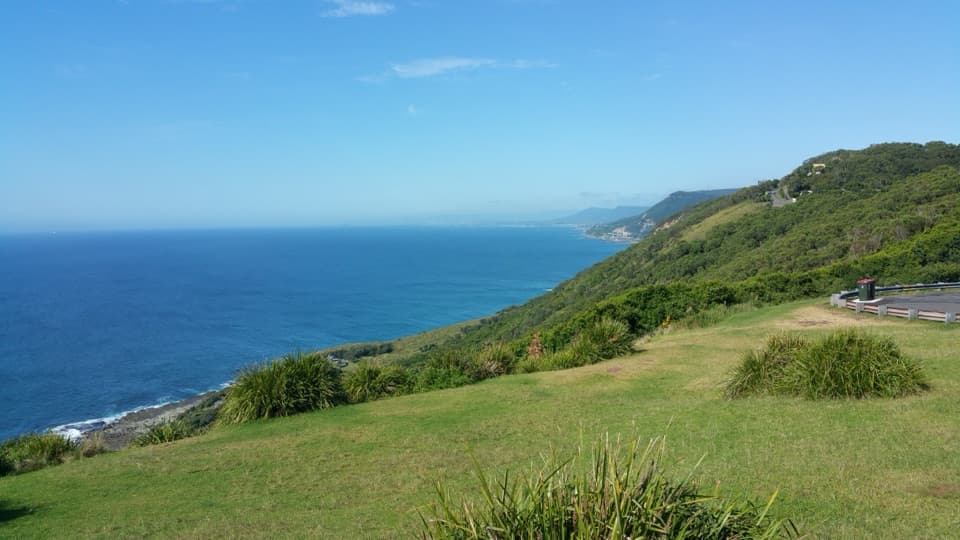 Sight · At the trailheadOtford LookoutA roadside coastal view that reaches Sea Cliff Bridge on clear days.
 Beach · 0.4 km awayBulgo BeachA steep walk ends at a beach framed by old coastal cabins.
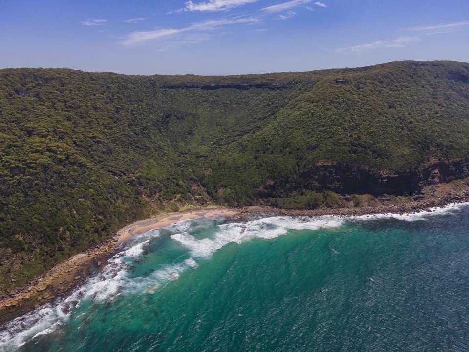 Beach · 1.2 km awayWerrong BeachA quiet, clothing-optional cove reached by a steep coastal hike.
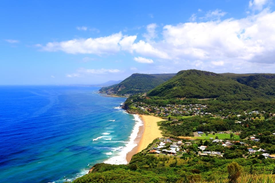 Sight · 1.9 km awayBald Hill LookoutA coastal panorama, Sea Cliff Bridge and a pioneering flight story.
 Picnic area · 3.1 km awayRed Cedar Flat Picnic AreaA handy grassy pause before nearby loop walks.Sight · 3.2 km awayFigure Eight PoolsTwin-lobed pools at the end of a serious coastal hike.
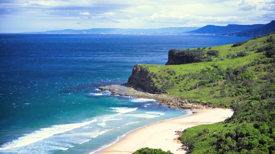 Beach · 4.1 km awayBurning Palms BeachA walk-in beach framed by rugged headlands.
 Beach · 5.1 km awaySouth Era BeachA walk-in shore with a rare, tightly clustered cabin community.
Parkwolf’s Royal ranking

The audio tour guide for the drive, plus offline maps, trails, and wildlife heatmaps for when the signal drops.