Overview
About Millers Head
Why stop
- A stone platform opens onto a broad farm-and-mountain view.
Heads up
- The rocky return climbs steeply after the downhill walk out.
Map
Where it is
Loading the Shenandoah map
Full mapPlan your stop
Before you go
2 active Shenandoah alerts
- ClosureOld Rag Trailhead main lot closedThe Old Rag Trailhead main parking lot is closed to vehicles and pedestrians for infrastructure improvements; use the existing overflow lots. - Work is expected to be completed by November 2026.Official details
- ClosureBackcountry camping and zone closuresBackcountry camping is prohibited on the Appalachian Trail from Lewis Mountain to Big Meadows, and the Naked Creek backcountry zone is closed.Official details

The highest, rockiest slopes around here are a summer buffet for grizzly bears.
Shenandoah Tour Guide
Your drive to Millers Head, narrated.
Parkwolf is a GPS audio tour guide for Shenandoah National Park. As you drive, it chimes in with what’s ahead: hidden gems, upcoming stops, history, geology, and wildlife, right through your car’s speakers.
See the Shenandoah audio tourRecorded for this place
Millers Head: A Walk to the Old Fire Lookout0:00 / 0:25
“Up ahead is the Millers Head trailhead at Skyland Amphitheater, for a walk to a stone lookout over valley farms and ridges.”
Plays as you drive up to Millers Head in the Parkwolf Shenandoah Tour Guide.
More stories near here in the app
- Skyland Stables: A Slow Ride Through the Woods
- Skyland: Valley-View Dining and Resort History
- Upper Whiteoak Falls: A Canyon Hike from Skyline Drive
- Stony Man: Keep Going to the Higher Viewpoint
- 146 audio storiesacross Shenandoah’s roads, triggered by GPS as you drive
- Wildlife heatmapsfor Black Bear, Bald Eagle, White-tailed Deer, and 13 more
- Works offlinemaps, 163 trails, 142 places, and audio download before you lose signal
- CarPlay readysimple controls built for the drive
“Fantastic app with many points of information… It’s great to just turn on while you’re driving and it gives you an audio tour of the national Park. We love it!!!!”


Guide
More about Millers Head
A rocky walk to the lookoutMillers Head is a short out-and-back hike from Skyland to a stone viewing platform at a former…
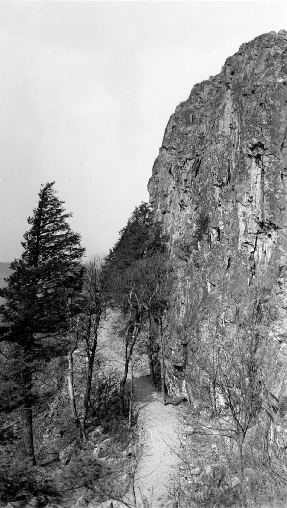
Millers Head is a short out-and-back hike from Skyland to a stone viewing platform at a former fire-tower site. The payoff is a broad view over farms and ridges across the Shenandoah Valley. It's a good stop if you're already near Skyland and want a real walk with the overlook; the return climbs uphill over rocky tread. Allow a couple of hours for 1.6 miles round trip and 450 feet of gain.
Start at the amphitheaterPark at Skyland Amphitheater, then walk uphill to the trailhead.
Park at Skyland Amphitheater, then walk uphill to the trailhead. The route drops toward the lookout, so the steeper work comes on the way back. The trail is rocky even though it is short. It does not meet ADA accessibility guidelines, and dogs are allowed only on a physical leash no longer than six feet.
Two views before the platformThe wooded route has a couple of smaller openings before the final lookout.
The wooded route has a couple of smaller openings before the final lookout. Bushytop, about a fifth of a mile in, frames farms and Massanutten Mountain through the trees. A short south-facing spur looks toward Hawksbill. The last stretch reaches the stone platform at Millers Head.
Look across the ValleyFrom the platform, the view opens over fields and wooded hills, with Massanutten and the Great…
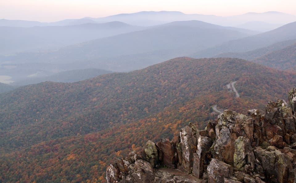
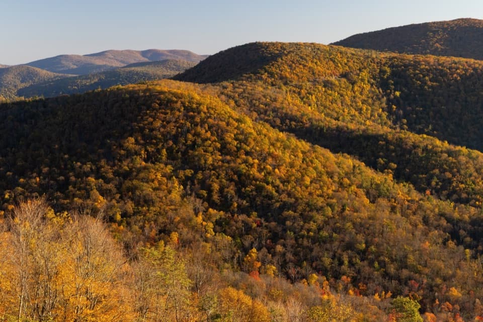
From the platform, the view opens over fields and wooded hills, with Massanutten and the Great North Mountains beyond; Hawksbill is to the south. For a phone photo, include the low stone wall at the bottom of the frame. It gives the foreground a clear edge and keeps the farmland and long ridges in view.
A former fire lookoutA fire tower once stood here.
A fire tower once stood here. The Civilian Conservation Corps built it in 1940 and finished it in 1941; the tower is gone, but the stone platform and steps remain at the lookout site.
Wildlife
Wildlife in Shenandoah
 325 sightingsBlack BearMost seen around 6 AMSighting map
 21 sightingsBald EagleMost seen around 10 AMSighting map
 1,036 sightingsWhite-tailed DeerMost seen around 7 PMSighting map
 167 sightingsWild TurkeyMost seen around 7 AMSighting map
 93 sightingsTimber RattlesnakeMost seen around 6 PMSighting map
 24 sightingsCoyoteMost seen around 6 AMSighting map
Sighting maps show where each species has been reported across Shenandoah. Wildlife moves, so no sighting is guaranteed.