Parking
Use Limberlost Parking Area on Skyline Drive at milepost 43; the trail starts beside the lot. Shenandoah’s entrance fee applies, and the hike does not require a reservation.
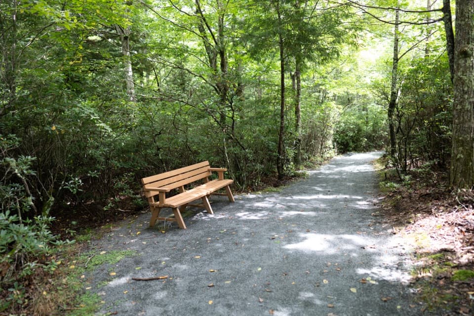
#15 of 163 trails in Shenandoah
Shenandoah National Park, VA
An accessible forest loop with a rare columnar-jointing formation.
Overview
Map & elevation
Plan your hike

The highest, rockiest slopes around here are a summer buffet for grizzly bears.
Shenandoah Tour Guide
Parkwolf is a GPS audio tour guide for Shenandoah National Park. As you drive, it chimes in with what’s ahead: hidden gems, upcoming stops, history, geology, and wildlife, right through your car’s speakers.
See the Shenandoah audio tourRecorded for this trailhead
Limberlost: An Easier Forest Loop“Up ahead is Limberlost, a forest loop I'd choose for an easier walk rather than a summit view.”
Plays as you drive up to this trailhead in the Parkwolf Shenandoah Tour Guide.
More stories near here in the app
“Fantastic app with many points of information… It’s great to just turn on while you’re driving and it gives you an audio tour of the national Park. We love it!!!!”


Trail guide
Limberlost Trail is a 1.3-mile circuit from Limberlost Parking Area at milepost 43 on Skyline Drive. Allow about 90 minutes. The crushed-greenstone path curves under forest canopy, with benches and a columnar-jointing rock formation along the way. It is a good pick for an easy woodland walk, a short outing with children, or time on an accessible trail. Choose another hike if a wide mountain view or waterfall is the point of your day.
Take the path to the right of the trailhead and stay on it as the loop returns to the lot. The circuit gains about 130 feet and is rated easiest. There is no distant summit or destination to reach; the appeal is the quiet forest, places to rest, and a close look at the unusual rock. A self-guided Kids in Parks TRACK Trail brochure and information sign give children something to look for as they walk. The park entrance fee applies, but there is no separate hike fee or reservation.
The trail is designated fully accessible and is mostly crushed greenstone. Its typical tread is 5 feet wide, with a 2.7-foot minimum. The typical running slope is 3.5%, but the steepest measured section reaches 10.3%; cross-slope reaches 5%. That maximum grade is the figure to consider if you use a manual wheelchair, cane, or push someone in a chair. The easy rating does not mean every part feels flat. Benches along the loop offer frequent places to pause. Several organizations have supported accessibility work here since 1996, making access part of the trail’s story.
Greenstone here is metamorphic rock that preserves traces of both ancient seafloor sediment and volcanic material. The blocky formation on the trail is columnar jointing: basaltic lava cooled quickly, cracked, and formed hexagonal column-like shapes. Over time, erosion removed softer stone and soil around them, leaving the columns exposed. Their corners, cracks, and flat faces are easier to appreciate at walking pace than from a roadside stop.
Wildlife
 325 sightingsBlack BearMost seen around 6 AMSighting map
 21 sightingsBald EagleMost seen around 10 AMSighting map
 1,036 sightingsWhite-tailed DeerMost seen around 7 PMSighting map
 167 sightingsWild TurkeyMost seen around 7 AMSighting map
 93 sightingsTimber RattlesnakeMost seen around 6 PMSighting map
 24 sightingsCoyoteMost seen around 6 AMSighting map
Sighting maps show where each species has been reported across Shenandoah. Wildlife moves, so no sighting is guaranteed.
Keep exploring
 EasyCrescent Rock Overlook via Limberlost3.4 mi · 2 hr · At the trailheadA shady forest climb opens onto a rocky Massanutten view.
 ModerateWhiteoak Falls (Upper)4.6 mi · 3.5 hr · 0.4 mi awayA waterfall overlook with a steep climb back to Skyline Drive.
 EasyMillers Head Trail1.6 mi · 2 hr · 0.8 mi awayRocky climb to a former fire-tower site with wide valley views.
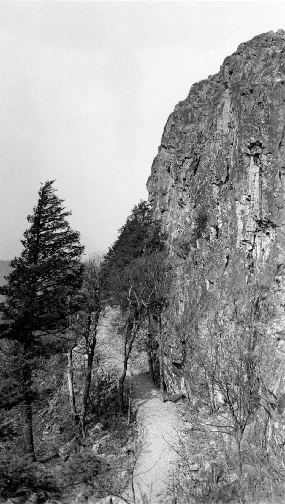 ModeratePassamaquoddy Loop3.4 mi · 3 hr · 1 mi awayA wooded Skyland circuit with rocky clearings and valley views.
 EasyStony Man Hike1.6 mi · 1.5 hr · 1 mi awayA short loop to greenstone ledges and wide valley views.
 EasyHawksbill to Swift Run via Laurel Prong25.6 mi · 4 days · 1.7 mi awayFour days from the highest summit to Swift Run Gap, with waterfalls.
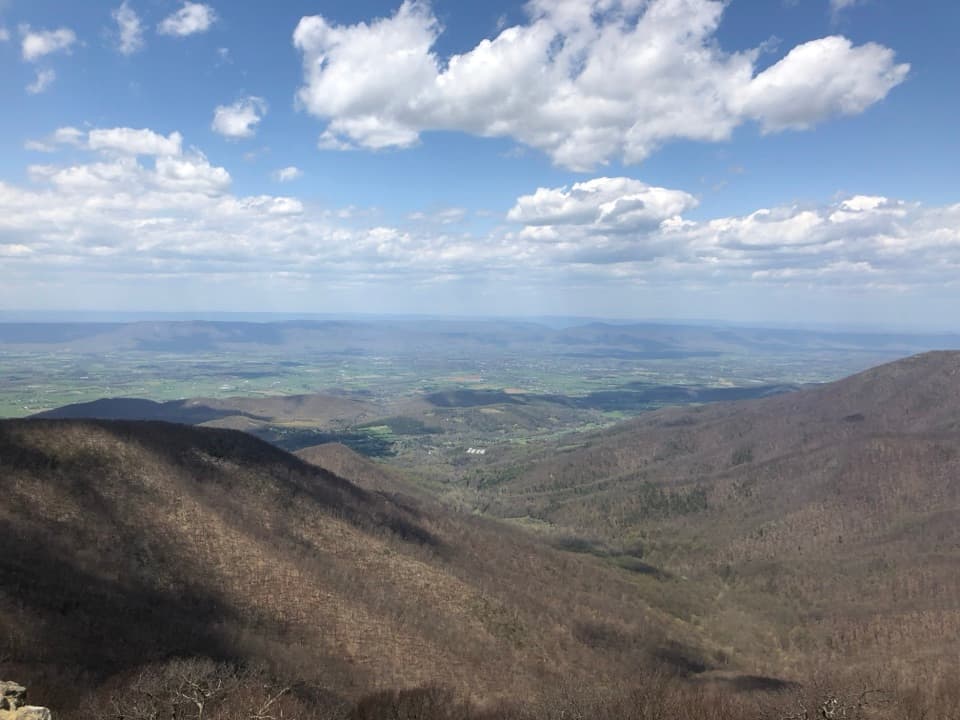 ModerateHawksbill Summit via Lower Hawksbill Trail1.7 mi · 1.5 hr · 1.7 mi awayA short, steep climb to Shenandoah's highest summit.
 ModerateHawksbill Loop2.9 mi · 2.5 hr · 1.7 mi awayA rocky 2.9-mile loop to Hawksbill’s 360-degree summit views.
 Scenic pullout · 0.4 mi awayTimber Hollow OverlookA west-facing view with a story from Shenandoah’s creation.
 Sight · 0.5 mi awaySkyland StablesA slow, wooded ride past an old apple orchard.
 Sight · 0.9 mi awaySkylandA historic Skyline Drive resort with valley-view dining and nearby hikes.
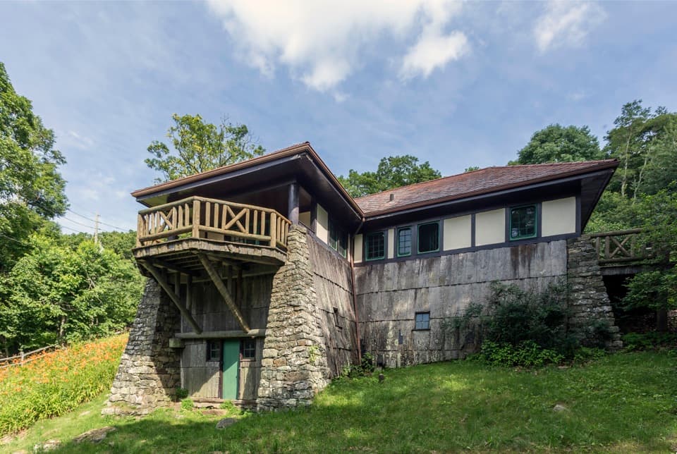 Sight · 0.9 mi awayMassanutten LodgeA cottage museum about Skyland's early years and its women.
 Sight · 1.1 mi awayMillers HeadRocky out-and-back to a stone lookout on a former fire-tower site.
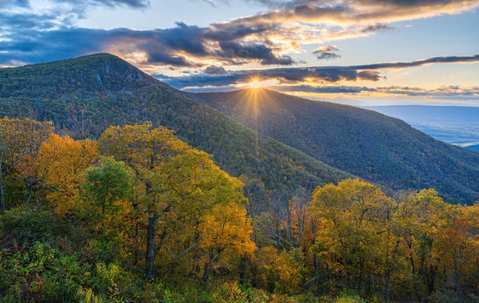 Sight · 1.2 mi awayCrescent Rock OverlookA quick roadside stop for Hawksbill and a rocky west-facing perch.
 Sight · 1.3 mi awayThorofare Mountain OverlookA quick pull-off for Old Rag and the layered eastern ridges.
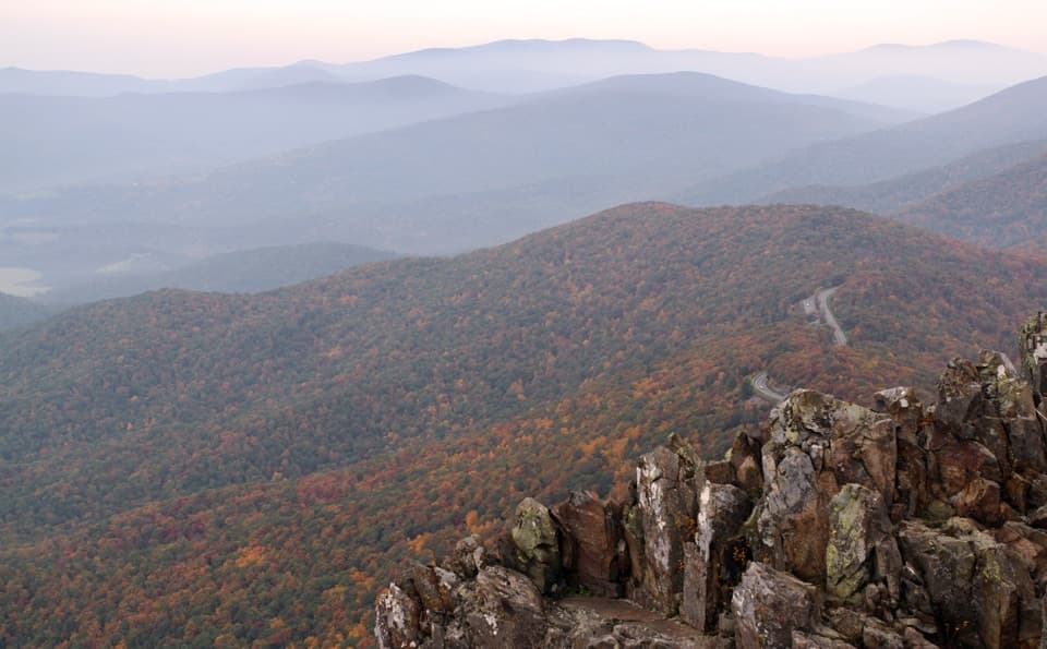 Sight · 1.4 mi awayStony Man SummitA short climb ends at a rocky, west-facing valley panorama.
Parkwolf’s Shenandoah ranking

The audio tour guide for the drive, plus offline maps, trails, and wildlife heatmaps for when the signal drops.



