Parking
Start at Whiteoak Canyon Parking on Skyline Drive near mile 42.6; the park entrance fee applies. This upper access is separate from the lower Whiteoak Canyon parking area on Route 600. No public transportation serves Skyline Drive.

#9 of 163 trails in Shenandoah
Shenandoah National Park, VA
A waterfall overlook with a steep climb back to Skyline Drive.
Overview
Map & elevation
Plan your hike

The highest, rockiest slopes around here are a summer buffet for grizzly bears.
Shenandoah Tour Guide
Parkwolf is a GPS audio tour guide for Shenandoah National Park. As you drive, it chimes in with what’s ahead: hidden gems, upcoming stops, history, geology, and wildlife, right through your car’s speakers.
See the Shenandoah audio tourRecorded for this trailhead
Upper Whiteoak Falls: A Canyon Hike from Skyline Drive“You're nearing the Whiteoak Canyon trailhead for Upper Whiteoak Falls, reached by a forest walk into a boulder-lined gorge.”
Plays as you drive up to this trailhead in the Parkwolf Shenandoah Tour Guide.
More stories near here in the app
“Fantastic app with many points of information… It’s great to just turn on while you’re driving and it gives you an audio tour of the national Park. We love it!!!!”


Trail guide
Upper Whiteoak Falls is a 4.6-mile out-and-back from Skyline Drive to a rocky ledge with a view of the upper falls. Follow Whiteoak Canyon Trail into the canyon, stop at the overlook about 2.3 miles in, then retrace the same route. The park rates it moderate and estimates 3 hours 30 minutes, with 1,040 feet of elevation gain. The first mile trends gently downhill, which can make the start feel easy; the route makes you climb back up that same grade at the end. This is a good half-day waterfall hike if you are comfortable saving the hardest work for the return.
Start at Whiteoak Canyon Parking near Skyline Drive mile 42.6. The path first runs through forest and passes junctions for Old Rag Fire Road and Limberlost Trail. Follow the blue hiking blazes and check the metal trail markers at intersections; they show direction and mileage. A small stream and several trail junctions come early, so pay attention before the canyon narrows. The initial mile is a gentler descent. Beyond it, the trail drops more quickly toward Whiteoak Run, where the footing becomes rougher and rockier.
As you descend, the creek changes from small trickles to stronger cascades. Boulders and steeper canyon walls appear beside the route, and the waterfall sounds get louder as you approach the upper falls. The trail crosses streams and bridges along the way; rocks and roots make this stretch slower than the opening mile. Keep to the blazed trail at junctions, since Whiteoak Canyon connects with several other walks and horse routes.
About 2.3 miles from the parking area, the official hike reaches a natural rocky ledge overlooking Upper Whiteoak Falls. Expect a rock ledge rather than a built viewing deck. The route ends here and returns the way it came. For a photo, include the foreground ledge with the falling water and gorge behind it; that shows the drop and distance better than filling the frame with water alone. Stay on the established trail and away from rocks beside the waterfall.
Some longer itineraries continue beyond this overlook toward the base and other falls. The park map says visiting the other five falls adds a strenuous 2.7 miles; that extension is not part of this 4.6-mile route. Check where a longer route turns around before setting out.
The return to Skyline Drive is the hike’s main effort. The park describes it as very steep, and the descent that felt easy on the way in becomes a sustained climb after you have already walked 2.3 miles. Keep a steady pace and allow the full 3.5 hours, plus extra time for the falls and breaks. If this climb is beyond your day, a separate 2-mile round trip from Boundary Parking reaches Lower Whiteoak Falls; it starts on Route 600 and visits a different section of the canyon.
Do not climb on rocks beside the waterfalls; the park warns that falls-area rock climbing can be dangerous and potentially deadly. Avoid crossing streams during icy conditions or flooding. Bring plenty of water; the park’s trail map advises at least a quart per hour. Check for ticks after the hike, and do not depend on cell or GPS service in the canyon. Dogs are allowed on this route on a leash no longer than six feet, but not on nearby Limberlost Trail.
The park says this upper-falls hike has been popular since the early days of Skyland Resort. In the wider Skyland area, visitors were already walking these slopes in the late 1800s and early 1900s, before Shenandoah National Park was established. The natural ledge and cascades have been the draw for generations; the short upper-falls version keeps the focus on that view without committing to the longer journey through the canyon.
Wildlife
 325 sightingsBlack BearMost seen around 6 AMSighting map
 21 sightingsBald EagleMost seen around 10 AMSighting map
 1,036 sightingsWhite-tailed DeerMost seen around 7 PMSighting map
 167 sightingsWild TurkeyMost seen around 7 AMSighting map
 93 sightingsTimber RattlesnakeMost seen around 6 PMSighting map
 24 sightingsCoyoteMost seen around 6 AMSighting map
Sighting maps show where each species has been reported across Shenandoah. Wildlife moves, so no sighting is guaranteed.
Keep exploring
 EasyMillers Head Trail1.6 mi · 2 hr · 0.4 mi awayRocky climb to a former fire-tower site with wide valley views.
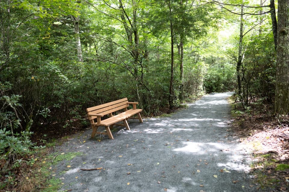 EasyLimberlost Trail1.3 mi · 1.5 hr · 0.4 mi awayAn accessible forest loop with a rare columnar-jointing formation.
 EasyCrescent Rock Overlook via Limberlost3.4 mi · 2 hr · 0.4 mi awayA shady forest climb opens onto a rocky Massanutten view.
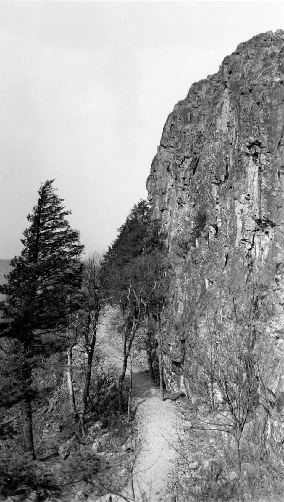 ModeratePassamaquoddy Loop3.4 mi · 3 hr · 0.6 mi awayA wooded Skyland circuit with rocky clearings and valley views.
 EasyStony Man Hike1.6 mi · 1.5 hr · 0.6 mi awayA short loop to greenstone ledges and wide valley views.
 ModerateStony Man and Little Stony Man Hike3 mi · 2 hr · 1.6 mi awayTwo rocky viewpoints and a Skyline Drive view in three miles.EasyLittle Stony Man Hike1 mi · 1 hr · 1.6 mi awayA short climb to open views across Page Valley.
 EasyHawksbill to Swift Run via Laurel Prong25.6 mi · 4 days · 2.1 mi awayFour days from the highest summit to Swift Run Gap, with waterfalls.
 Sight · 0.1 mi awaySkyland StablesA slow, wooded ride past an old apple orchard.
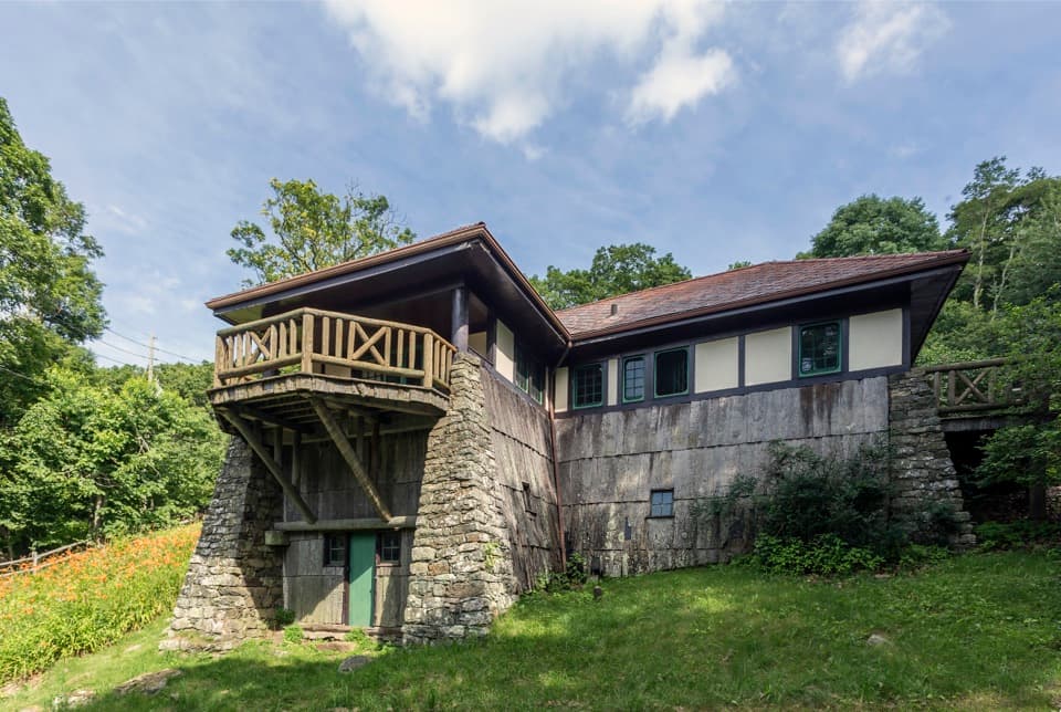 Sight · 0.5 mi awayMassanutten LodgeA cottage museum about Skyland's early years and its women.
 Sight · 0.5 mi awaySkylandA historic Skyline Drive resort with valley-view dining and nearby hikes.
 Scenic pullout · 0.8 mi awayTimber Hollow OverlookA west-facing view with a story from Shenandoah’s creation.
 Sight · 0.8 mi awayMillers HeadRocky out-and-back to a stone lookout on a former fire-tower site.
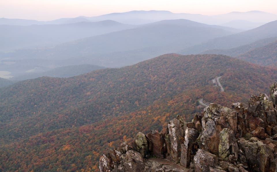 Sight · 1 mi awayStony Man SummitA short climb ends at a rocky, west-facing valley panorama.
 Sight · 1.3 mi awayThorofare Mountain OverlookA quick pull-off for Old Rag and the layered eastern ridges.
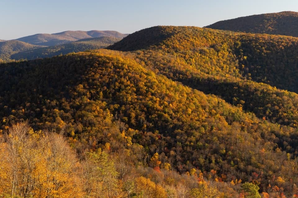 Scenic pullout · 1.3 mi awayHemlock Springs OverlookA quick overlook with a mountain view and a hemlock story.
Parkwolf’s Shenandoah ranking

The audio tour guide for the drive, plus offline maps, trails, and wildlife heatmaps for when the signal drops.




