Parking
Park at Loft Mountain Wayside on Skyline Drive at mile 79.5; cross the drive and follow the short access to Patterson Ridge. Doyles River parking is a connection later in the loop, not the starting access.
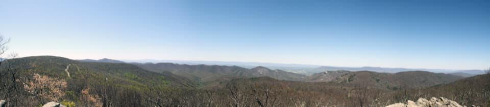
Shenandoah National Park, VA
Creek crossings lead to a hard climb and a wide ridge panorama.
Overview
Map & elevation
Plan your hike

The highest, rockiest slopes around here are a summer buffet for grizzly bears.
Shenandoah Tour Guide
Parkwolf is a GPS audio tour guide for Shenandoah National Park. As you drive, it chimes in with what’s ahead: hidden gems, upcoming stops, history, geology, and wildlife, right through your car’s speakers.
See the Shenandoah audio tourRecorded for this area
Loft Mountain Wayside: Milkshakes and a Short Hike“You're coming up on Loft Mountain Wayside, a handy seasonal stop for sandwiches, milkshakes and a break from driving. I'd look for a black raspberry milkshake if you want a treat.”
Plays near this trailhead in the Parkwolf Shenandoah Tour Guide.
More stories near here in the app
“Fantastic app with many points of information… It’s great to just turn on while you’re driving and it gives you an audio tour of the national Park. We love it!!!!”


Trail guide
This 11.4-mile loop leaves Loft Mountain Wayside, drops through Patterson Ridge to Big Run, climbs back toward Skyline Drive, then returns along the Appalachian Trail and Frazier Discovery Trail. The route brings together shaded ridge walking, repeated stream crossings and open views over the Big Run drainage. Expect about 2,300 feet of climbing and plan roughly 7–9 hours for the complete circuit. It is a demanding day hike, not the separate multi-day Big Run Portal backpacking itinerary. The listed distance excludes an optional 0.8-mile out-and-back spur to a swimming hole.
From the wayside, cross Skyline Drive and join Patterson Ridge. Its first stretch climbs steeply for about 100 yards, then the trail levels or descends for roughly three miles through woods, with occasional partial views between the trees. The long descent gives way to the Big Run Portal junction and the more remote creek corridor below.
The Portal section follows Big Run beside the stream and, in places, an old roadbed. Expect roughly three or four crossings. Water can rise to knee or waist height at lower crossings in spring or after heavy rain; do not attempt a flooded or icy crossing, and turn back if the water is unsafe. The optional swimming-hole spur adds about 0.8 mile round trip and returns to the main route. It is not included in the route line or distance. Treat any backcountry water before drinking; a potable water source along the trail is not established.
At the Big Run Loop junction, the route turns uphill and climbs by switchbacks for about 2.3 miles to Skyline Drive. It then uses the Doyles River parking connection before joining the Appalachian Trail. This long ascent follows the lowest part of the loop and is a substantial effort after the stream crossings.
The Appalachian Trail opens onto a view over Big Run drainage, followed by a rocky overlook across Lewis Peak, Rockytop and Brown Mountain. Frazier Discovery Trail brings more open ridge views and a distinctive rock feature before its connector returns to the wayside area. At the exposed overlook, frame the layered ridges beyond the rocks for the broadest panorama.
Start at Loft Mountain Wayside on Skyline Drive at mile 79.5; the route crosses the drive to Patterson Ridge. The wayside and nearby campstore are separate stops from the remote trail and operate seasonally. Park entry requires the standard fee or pass. No special permit for a day hike was identified; overnight backcountry camping requires a permit. Pets are prohibited on Frazier Discovery Trail, so they cannot accompany this loop. Bring enough water for the full day and a map for the connected trail network.
Wildlife
 325 sightingsBlack BearMost seen around 6 AMSighting map
 21 sightingsBald EagleMost seen around 10 AMSighting map
 1,036 sightingsWhite-tailed DeerMost seen around 7 PMSighting map
 167 sightingsWild TurkeyMost seen around 7 AMSighting map
 93 sightingsTimber RattlesnakeMost seen around 6 PMSighting map
 24 sightingsCoyoteMost seen around 6 AMSighting map
Sighting maps show where each species has been reported across Shenandoah. Wildlife moves, so no sighting is guaranteed.
Keep exploring
 ModerateLoft Mountain Loop2.1 mi · 1.8 hr · At the trailheadFrazier rocks, Appalachian Trail views, and a fire-road return loop.
 ModerateFrazier Discovery Trail1.2 mi · 1.3 hr · At the trailheadA short climb to rocky overlooks above Loft Mountain's forest.
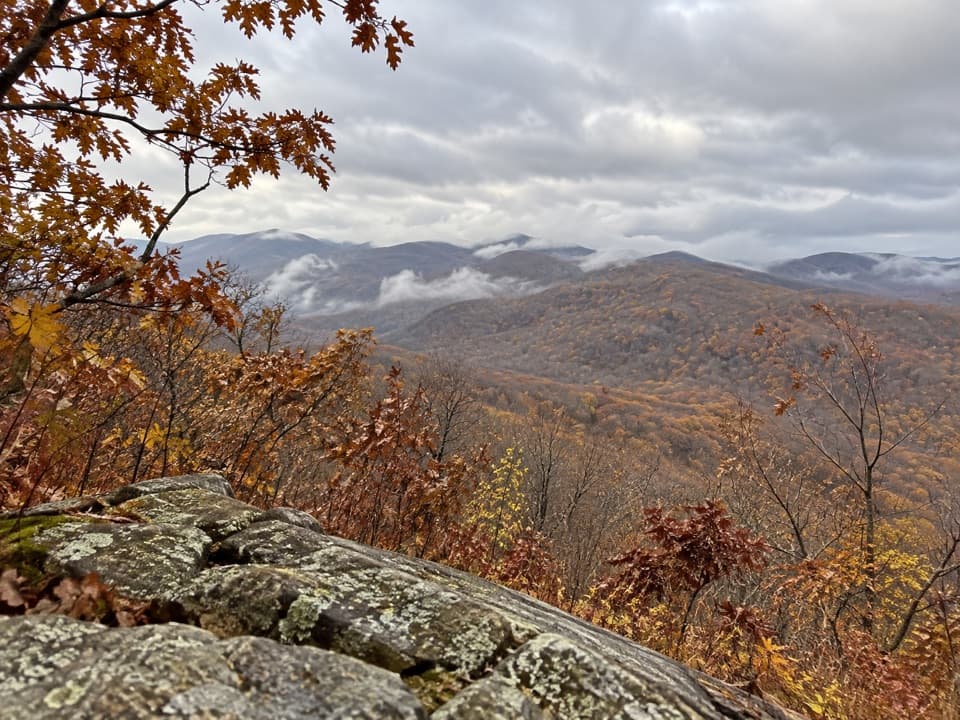 ModerateBig Flat Mountain Loop4.7 mi · 2.8 hr · 0.1 mi awayCampground paths lead to Appalachian Trail views over Massanutten.
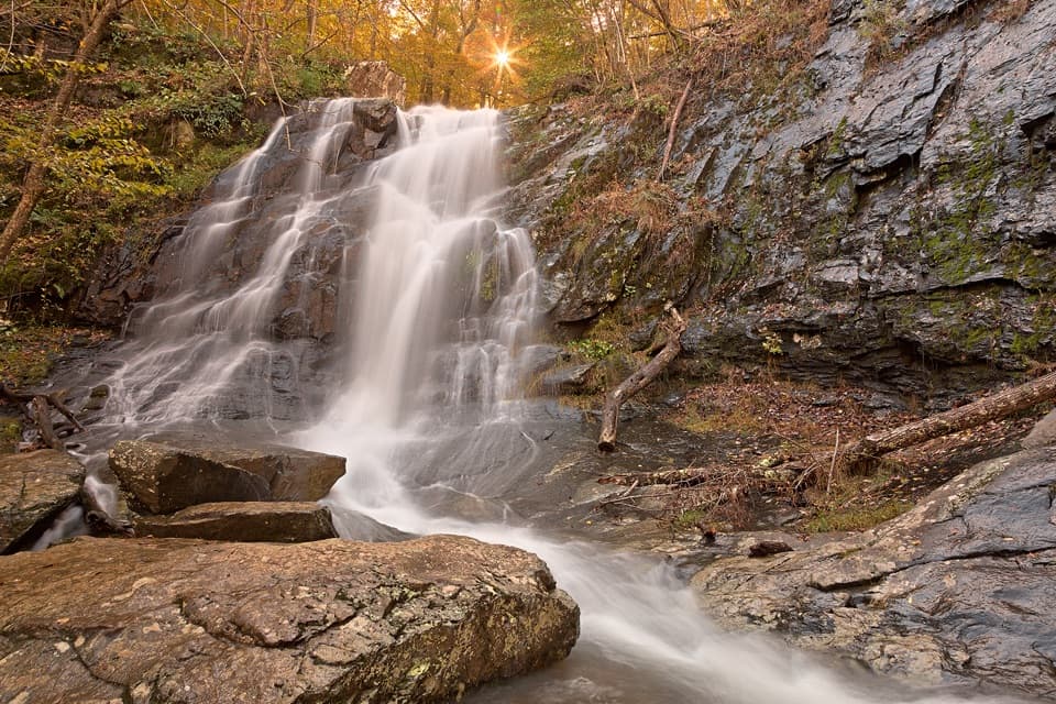 ChallengingBig Run, Doyles River, and Frazier Loop18.1 mi · 12.5 hr · 0.1 mi awayThree waterfall valleys make this a serious backcountry loop.ModerateLoft Mountain to Jones Run Backpacking Route9 mi · 8 hr · 0.1 mi awayTwo nights on the trail, three waterfalls, and a point-to-point finish.
 ChallengingPatterson Ridge Trail6.2 mi · 4.5 hr · 0.1 mi awayA strenuous ridge out-and-back with a long climb from Big Run.ChallengingDoyles River–Jones Run Loop8 mi · 5.5 hr · 1.4 mi awayThree waterfalls, two creek trails, and an Appalachian Trail return.ChallengingJones Run, Big Run & Brown Mountain Backpacking Loop29 mi · 20 hr · 1.4 mi awayThree waterfalls and four days around a rugged mountain watershed.
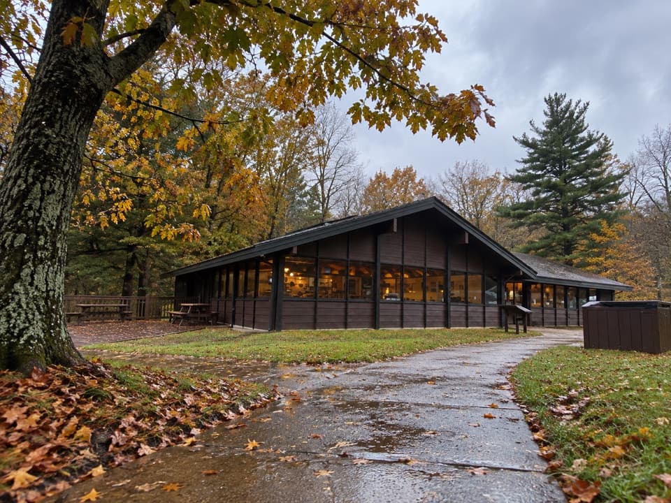 Food · 0.1 mi awayLoft Mountain WaysideA practical mile-79.5 break for shakes, souvenirs and picnic tables.
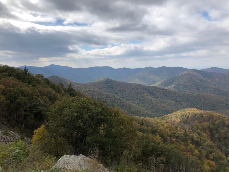 Sight · 1.1 mi awayRockytop OverlookA quick pull-off with a wide view across the southern Blue Ridge.
 Campground · 1.3 mi awayLoft Mountain CampgroundA ridgeline camp with sunset views and waterfall hikes nearby.
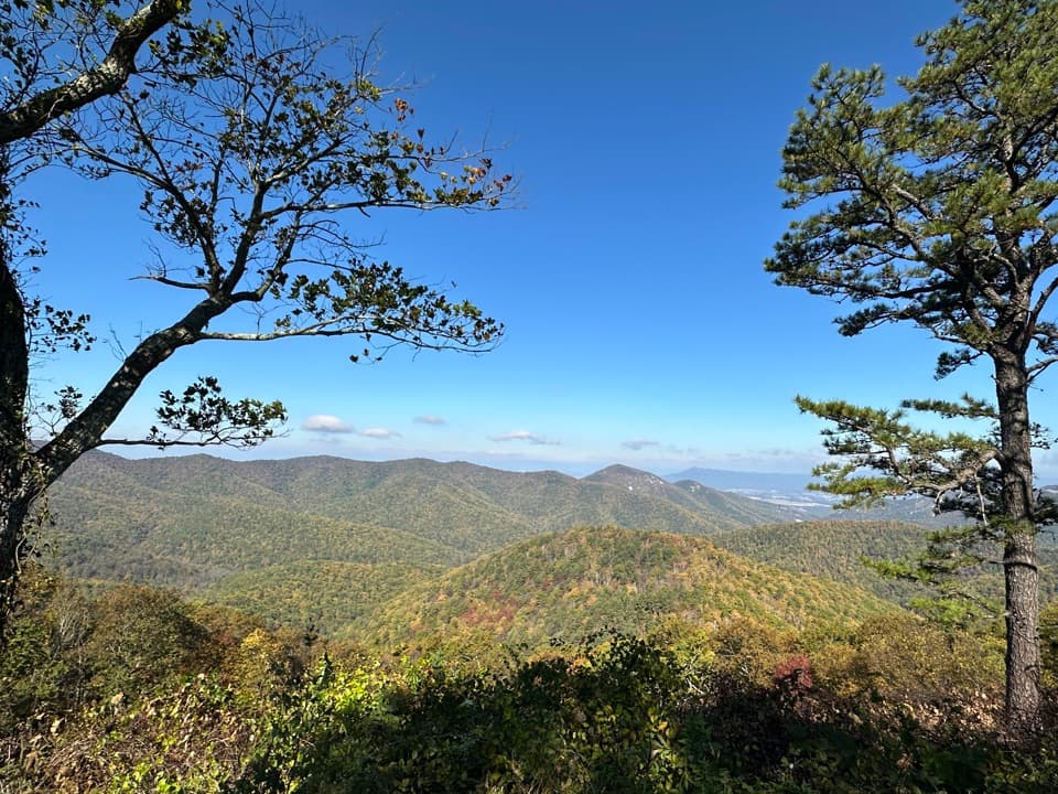 Scenic pullout · 1.4 mi awayBig Run OverlookA Skyline Drive overlook with a public seasonal photo station.
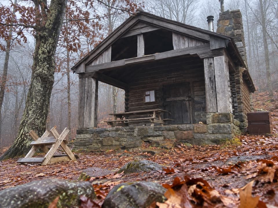 Lodging · 1.5 mi awayDoyles River CabinA CCC cabin stay with a porch over Cedar Mountain.
 Scenic pullout · 1.5 mi awayIvy Creek OverlookWeaver, Loft, and Flattop line up across this quick roadside stop.
 Scenic pullout · 2.1 mi awayBrown Mountain OverlookA long roadside view over Big Run and the Blue Ridge.
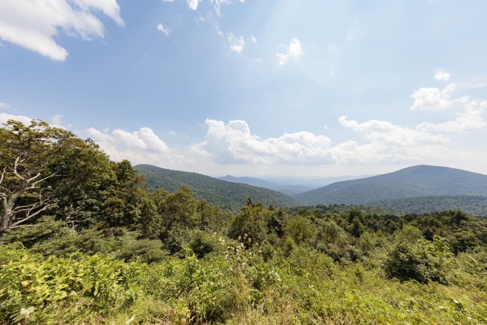 Scenic pullout · 2.1 mi awayDoyles River OverlookA south-facing cove view with a history worth pausing for.
Parkwolf’s Shenandoah ranking

The audio tour guide for the drive, plus offline maps, trails, and wildlife heatmaps for when the signal drops.





